Soudley

Settlement in Shropshire

England

Soudley

Cheswardine Hall Charles Donaldson-Hudson originally had the house built in 1875 to a design by John MacVicar Anderson. This replaced an earlier partially-built house (known as The Hill, Chipnall) that had been purchased by Thomas Hudson (the great uncle of Charles Donaldson-Hudson) along with the Cheswardine Estate around 1833. In  1950 the hall was bought by the Brothers of Christian Instruction (also known as the La Mennais Brothers or Mennaisians), a teaching order founded in  Brittany, for use as a Juniorate for boys, and named St Edward's College. In 1969 it was purchased by the Morgan Building Company for conversion into a leisure centre, but this did not occur. In 1972 the hall was sold to a Mr & Mrs Brunt and used as an Approved School. In 1984 it was sold to Mr & Mrs Stephen Poole for use as a residential and nursing home.
Cheswardine Hall Credit: Tony Grant

Soudley is a small village located in the county of Shropshire, England. Situated in the heart of the beautiful Shropshire Hills, it is surrounded by picturesque countryside and offers a tranquil and idyllic setting for residents and visitors alike. Despite its size, Soudley boasts a rich history that dates back centuries.

The village is known for its charming rural character, with traditional stone-built houses, narrow winding lanes, and a sense of community that is highly valued by its residents. The Soudley Parish Church, a Grade II listed building, stands proudly in the center of the village and serves as a place of worship and a reminder of its heritage.

Nature enthusiasts are drawn to Soudley for its stunning landscape and abundance of outdoor activities. The nearby Shropshire Hills Area of Outstanding Natural Beauty offers opportunities for hiking, cycling, and exploring the breathtaking scenery. The village is also within close proximity to the Long Mynd, a popular destination for walkers and birdwatchers.

Despite its rural setting, Soudley benefits from good transport links. The village is well-connected to nearby towns and cities, with regular bus services and easy access to major road networks. This allows residents to enjoy the peace and tranquility of village life while still being within reach of urban amenities.

In summary, Soudley is a charming village nestled in the Shropshire Hills, offering a peaceful retreat for those seeking a rural lifestyle. With its rich history, stunning natural surroundings, and strong community spirit, it is a place that captures the essence of traditional English countryside living.

If you have any feedback on the listing, please let us know in the comments section below.
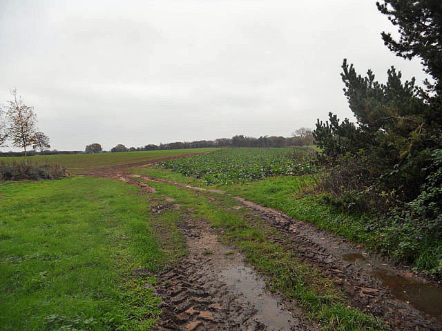
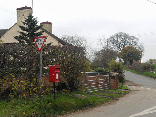
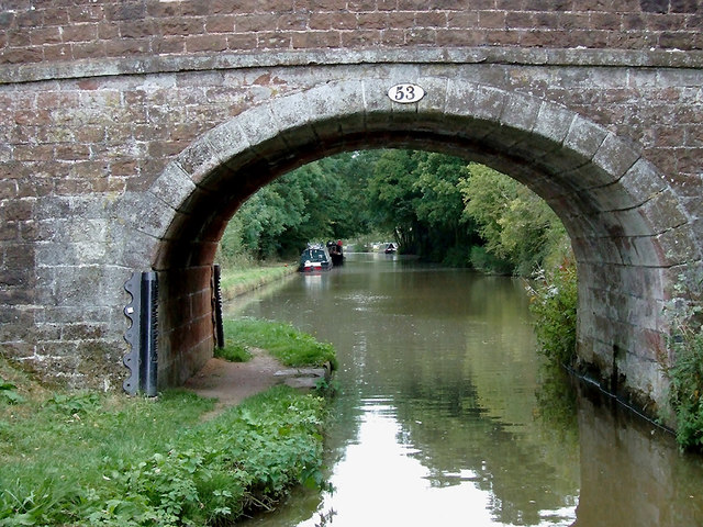
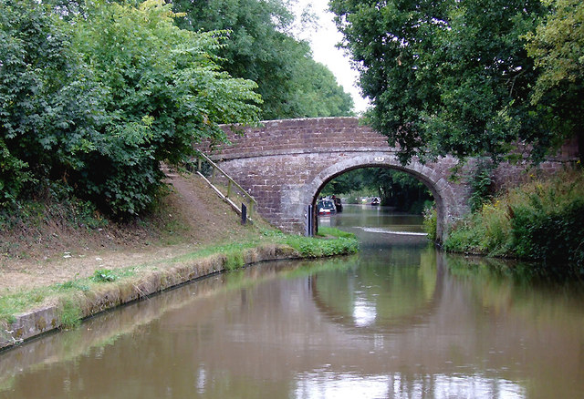
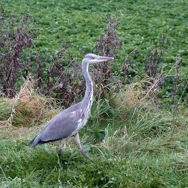
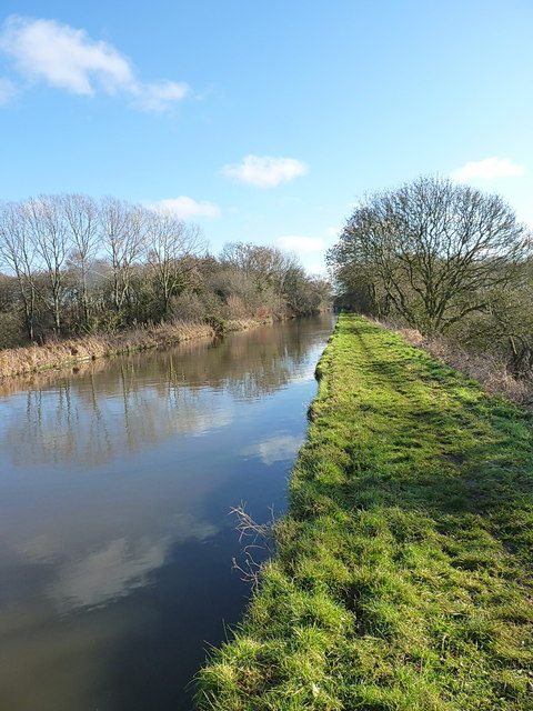
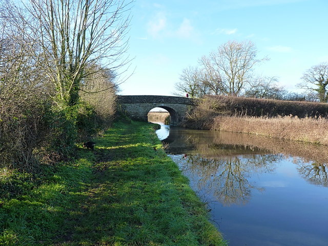
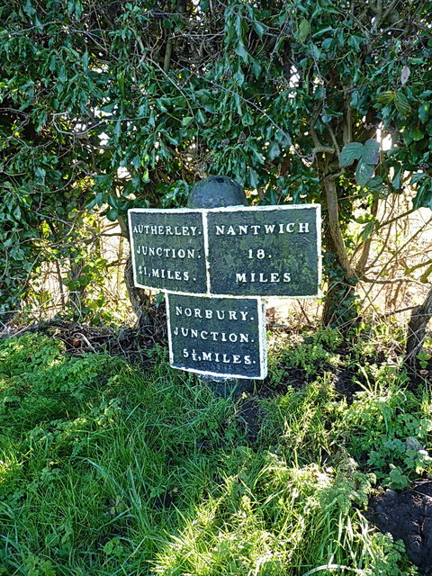
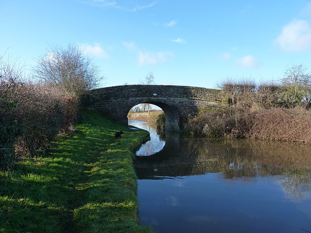
Soudley Images

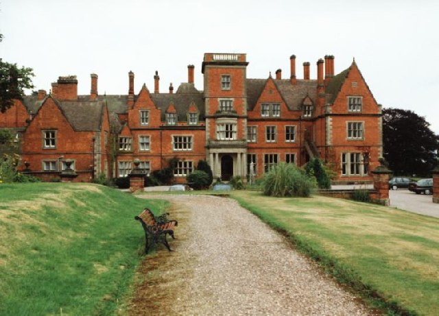
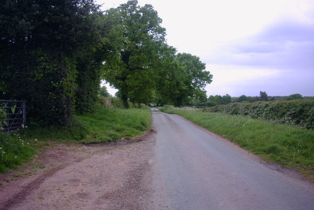
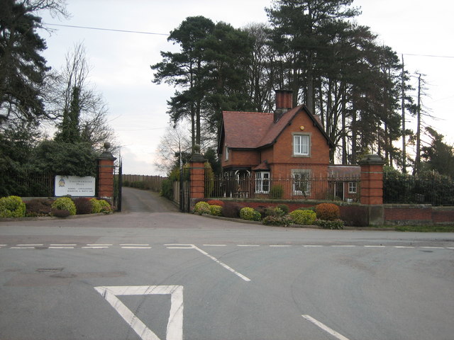
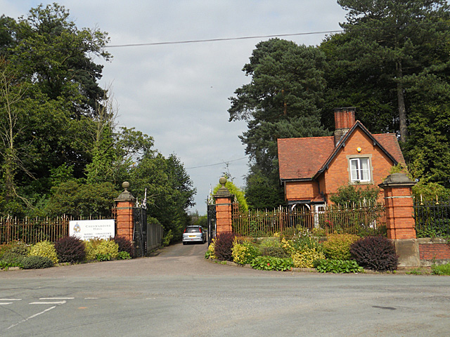
Images are sourced within 2km of 52.856431/-2.407891 or Grid Reference SJ7228. Thanks to Geograph Open Source API. All images are credited.

Cheswardine Hall Charles Donaldson-Hudson originally had the house built in 1875 to a design by John MacVicar Anderson. This replaced an earlier partially-built house (known as The Hill, Chipnall) that had been purchased by Thomas Hudson (the great uncle of Charles Donaldson-Hudson) along with the Cheswardine Estate around 1833. In  1950 the hall was bought by the Brothers of Christian Instruction (also known as the La Mennais Brothers or Mennaisians), a teaching order founded in  Brittany, for use as a Juniorate for boys, and named St Edward's College. In 1969 it was purchased by the Morgan Building Company for conversion into a leisure centre, but this did not occur. In 1972 the hall was sold to a Mr & Mrs Brunt and used as an Approved School. In 1984 it was sold to Mr & Mrs Stephen Poole for use as a residential and nursing home.
Cheswardine Hall
Charles Donaldson-Hudson originally had the house built in 1875 to a design by John MacVicar Anderson. This replaced an earlier partially-built house (known as The Hill, Chipnall) that had been purchased by Thomas Hudson (the great uncle of Charles Donaldson-Hudson) along with the Cheswardine Estate around 1833. In 1950 the hall was bought by the Brothers of Christian Instruction (also known as the La Mennais Brothers or Mennaisians), a teaching order founded in Brittany, for use as a Juniorate for boys, and named St Edward's College. In 1969 it was purchased by the Morgan Building Company for conversion into a leisure centre, but this did not occur. In 1972 the hall was sold to a Mr & Mrs Brunt and used as an Approved School. In 1984 it was sold to Mr & Mrs Stephen Poole for use as a residential and nursing home.
Country Lane by Bishops Wood A country lane by Bishops Wood near to a hamlet called Doley.
Country Lane by Bishops Wood
A country lane by Bishops Wood near to a hamlet called Doley.
The main entrance and Lodge for Cheswardine Hall The view is taken from the road from Cheswardine village, and shows the ornate wrought iron gates on the main drive up to Cheswardine Hall. The Lodge is now in separate ownership from the Hall, and careful examination of the drive beyond the gates shows a modern concrete fence separating the two properties.
The main entrance and Lodge for Cheswardine Hall
The view is taken from the road from Cheswardine village, and shows the ornate wrought iron gates on the main drive up to Cheswardine Hall. The Lodge is now in separate ownership from the Hall, and careful examination of the drive beyond the gates shows a modern concrete fence separating the two properties.
Entrance to Cheswardine Hall
Fields and crops near Hopshot
Postbox at Doley crossroads
Hallemans Bridge west of Soudley, Shropshire Bridge No 53 across the Shropshire Union Canal carries Westcott Lane between Cheswardine and Goldstone.
Hallemans Bridge west of Soudley, Shropshire
Bridge No 53 across the Shropshire Union Canal carries Westcott Lane between Cheswardine and Goldstone.
Hallemans Bridge west of Soudley, Shropshire Bridge No 53 across the Shropshire Union Canal carries Westcott Lane between Cheswardine and Goldstone.
Hallemans Bridge west of Soudley, Shropshire
Bridge No 53 across the Shropshire Union Canal carries Westcott Lane between Cheswardine and Goldstone.
Canalside heron near Soudley, Shropshire Seen on the towpath of the Shropshire Union Canal.
Canalside heron near Soudley, Shropshire
Seen on the towpath of the Shropshire Union Canal.
Just west of Knighton Wood A straight section of the Shroppy, where it crosses the county border between Shrops (in the foreground) and Staffs (about 150 yards away)
Just west of Knighton Wood
A straight section of the Shroppy, where it crosses the county border between Shrops (in the foreground) and Staffs (about 150 yards away)
Park Heath bridge (48) The road between Puleston and Soudley crosses the Shroppy at Park Heath.
Park Heath bridge (48)
The road between Puleston and Soudley crosses the Shroppy at Park Heath.
Canal milepost at Park Heath One of several original cast iron mileposts along this piece of the canal. The next one southeast is <a href="https://www.geograph.org.uk/photo/3819006">SJ7426 : Canal milepost at Knighton</a>, and the next one northwest is <a href="https://www.geograph.org.uk/photo/3819019">SJ7128 : Canal milepost at Little Soudley</a>
Canal milepost at Park Heath
One of several original cast iron mileposts along this piece of the canal. The next one southeast is SJ7426 : Canal milepost at Knighton, and the next one northwest is SJ7128 : Canal milepost at Little Soudley
Hazeldines Bridge (no 49) A farm bridge, providing access from Park Heath farm to fields north of the canal.
Hazeldines Bridge (no 49)
A farm bridge, providing access from Park Heath farm to fields north of the canal.
Canal milepost at Little Soudley One of several original cast iron mileposts along this stretch; the previous one to the southeast is <a href="https://www.geograph.org.uk/photo/3819016">SJ7327 : Canal milepost at Park Heath</a>
Canal milepost at Little Soudley
One of several original cast iron mileposts along this stretch; the previous one to the southeast is SJ7327 : Canal milepost at Park Heath
The 'Oak Tree' stretch Known to those of us that regularly used to fish here in the 1980s as the Oak Tree length, this piece of canal would produce good nets of small roach and bream ('skimmers'), with a good chance of dropping on a decent shoal of bigger bream on occasions. It still looks much the same, but whether it still fishes as well is open to question. Oh, and the eponymous oak seems to have gone (or been replaced by the alder on the far bank)
The 'Oak Tree' stretch
Known to those of us that regularly used to fish here in the 1980s as the Oak Tree length, this piece of canal would produce good nets of small roach and bream ('skimmers'), with a good chance of dropping on a decent shoal of bigger bream on occasions. It still looks much the same, but whether it still fishes as well is open to question. Oh, and the eponymous oak seems to have gone (or been replaced by the alder on the far bank)
Soudley Bridge (no 50) A farm access bridge, with no public right of way as such.
Soudley Bridge (no 50)
A farm access bridge, with no public right of way as such.
Rope wear on Soudley Bridge A typical rope-wear plate on the sandstone bridges of the Shroppy; horses pulling barges with mud-encrusted tow ropes have worn these distinct grooves into the cast-iron wear plates on the buttresses of all the bridges.
Rope wear on Soudley Bridge
A typical rope-wear plate on the sandstone bridges of the Shroppy; horses pulling barges with mud-encrusted tow ropes have worn these distinct grooves into the cast-iron wear plates on the buttresses of all the bridges.
OS benchmark - New Brighton Bridge An OS cutmark low on the western parapet (the farm side) of the bridge; originally levelled at 104.87m above Ordnance Datum Newlyn.
OS benchmark - New Brighton Bridge
An OS cutmark low on the western parapet (the farm side) of the bridge; originally levelled at 104.87m above Ordnance Datum Newlyn.
Show me another place!

Soudley is located at Grid Ref: SJ7228 (Lat: 52.856431, Lng: -2.407891)

Unitary Authority: Shropshire

Police Authority: West Mercia

What 3 Words

///bombshell.rebirth.speech. Near Market Drayton, Shropshire

Nearby Locations

Hopshort Soudley

Related Wikis

Soudley, Shropshire

Soudley is a small village in Shropshire in the civil parish of Cheswardine. The village had a pub called The Wheatsheaf until it was destroyed by fire...

Cheswardine

Cheswardine ( CHEZ-war-dyne) is a rural village and civil parish in north east Shropshire, England. The village lies close to the border with Staffordshire...

Goldstone, Shropshire

Goldstone is a small hamlet in eastern Shropshire, England, in the civil parish of Cheswardine. It lies in an isolated rural area north of Hinstock and...

Knighton, Stafford

Knighton is a hamlet part of the parish of Adbaston in the county of Staffordshire, England. Knighton is situated close to the Staffordshire/Shropshire...

Nearby Amenities

Located within 500m of 52.856431,-2.407891
Post Box
Post Box Type: lamp
Ref: TF9 418
Lat/Long: 52.8579053/-2.410061
Turning Circle
Lat/Long: 52.8570971/-2.4104617
Soudley
Place: hamlet
Source: OS-OpenData_StreetView
Lat/Long: 52.8573385/-2.407877
Power: pole
Lat/Long: 52.8530694/-2.409082
Power: pole
Lat/Long: 52.8526887/-2.4111334
Power: pole
Lat/Long: 52.8534173/-2.4071258
Power: pole
Lat/Long: 52.8537054/-2.405585
Power: pole
Lat/Long: 52.8540345/-2.4037234
Power: pole
Lat/Long: 52.8543617/-2.4017494
Give Way
Direction: backward
Lat/Long: 52.8548846/-2.4056614
Give Way
Direction: forward
Lat/Long: 52.8579718/-2.40183
Give Way
Direction: forward
Lat/Long: 52.8583403/-2.4039869
Give Way
Direction: forward
Lat/Long: 52.858096/-2.4104516
Defibrillator
Access: yes
Booth: KX100
Covered: booth
Defibrillator Location: inside old phone box near Mossfield, Soudley
Disused Amenity: telephone
Emergency: defibrillator
Man Made: telephone_box
Lat/Long: 52.8570899/-2.4093328
The data included in this document is from www.openstreetmap.org. The data is made available under ODbL.

Have you been to Soudley?

Leave your review of Soudley below (or comments, questions and feedback).