Hook Green

Settlement in Kent Dartford

England

Hook Green

Path on Dartford Heath A path running parallel to Heath Lane.
Path on Dartford Heath Credit: David Martin

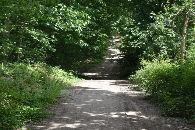
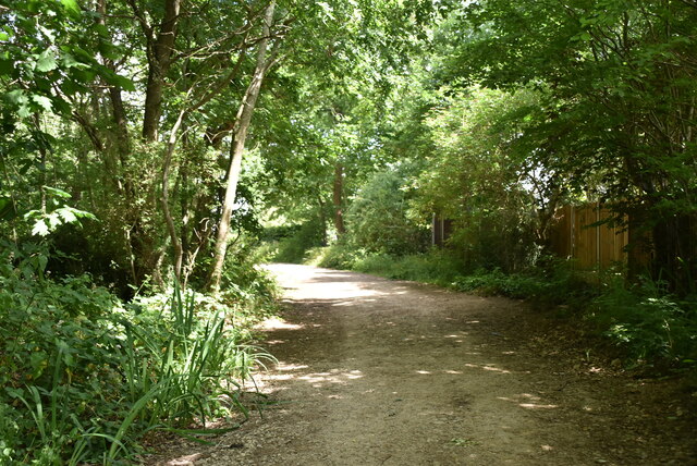
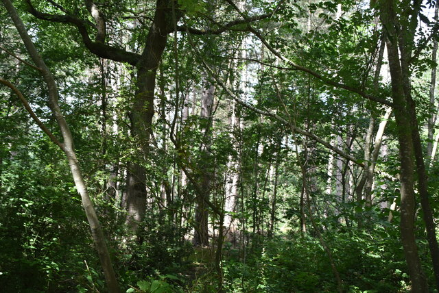
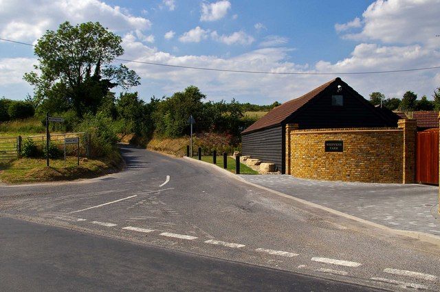
Hook Green is a small village located in the county of Kent, England. Situated about three miles northwest of the town of Gravesend, it is nestled amidst the picturesque countryside of the South East. The village is part of the Gravesham district and falls within the civil parish of Northfleet.

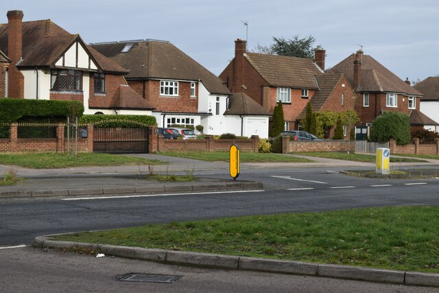
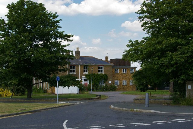
Despite its proximity to urban areas, Hook Green maintains a tranquil and rural atmosphere. The village is characterized by its charming collection of traditional houses, many of which date back to the 18th and 19th centuries. The architecture is predominantly of the vernacular style, with red-brick facades and tiled roofs, adding to the area's historic charm.

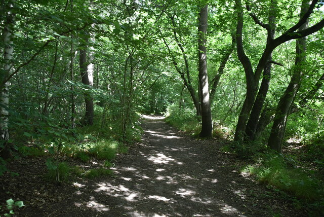
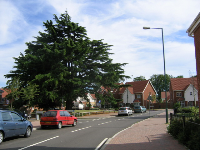
Hook Green benefits from its close proximity to various amenities and attractions. Nearby, residents can access a range of local shops, restaurants, and pubs in the neighboring towns. The village is also within easy reach of several schools, making it an attractive location for families. For those seeking recreation, the surrounding countryside offers ample opportunities for outdoor activities, including hiking, cycling, and horse riding.

Transport links in Hook Green are convenient, with easy access to major roads such as the A2 and M25, connecting the village to surrounding areas. The nearby Gravesend railway station provides regular train services to London and other destinations in Kent.

Overall, Hook Green offers a charming and peaceful rural setting, with a strong sense of community and an array of amenities within easy reach. Its idyllic location and historic architecture make it an attractive place to live for those seeking a mix of countryside tranquility and urban convenience.

If you have any feedback on the listing, please let us know in the comments section below.
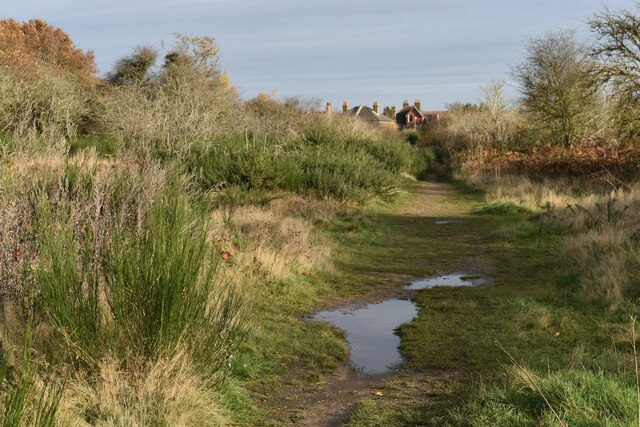
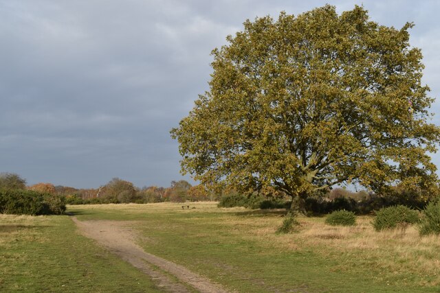
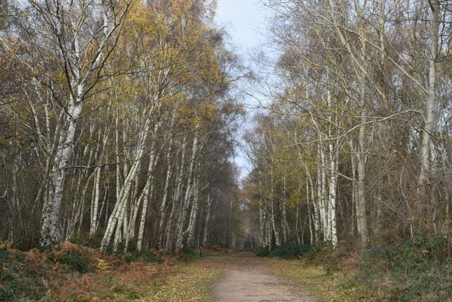
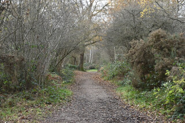
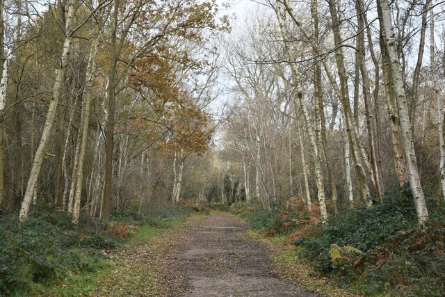
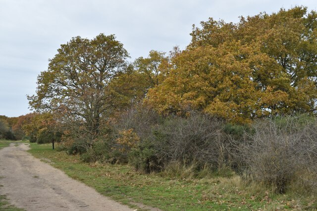
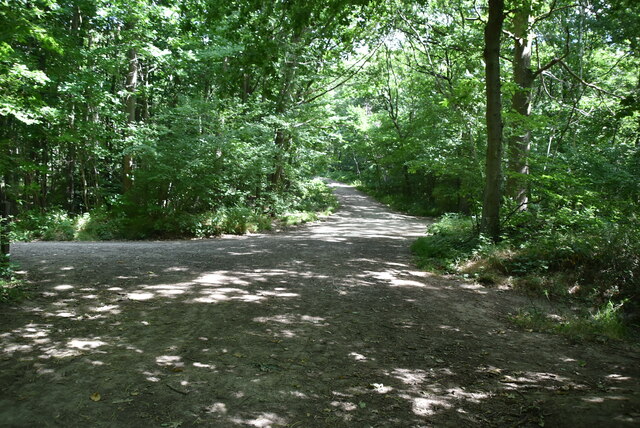
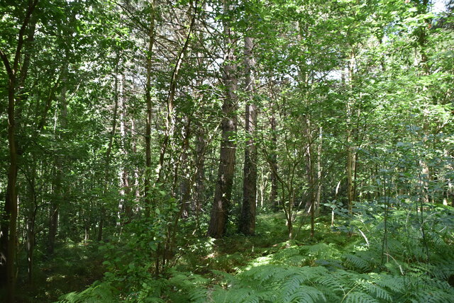
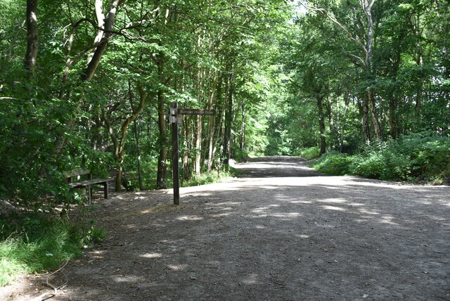
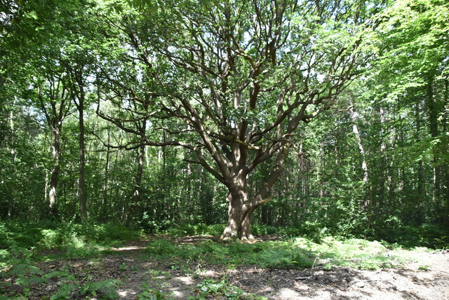
Hook Green Images

Images are sourced within 2km of 51.42661/0.18449351 or Grid Reference TQ5171. Thanks to Geograph Open Source API. All images are credited.

Path on Dartford Heath A path running parallel to Heath Lane.
Path on Dartford Heath
A path running parallel to Heath Lane.
Tree and path on Dartford Heath
Tree-lined path on Dartford Heath
Path in the woods on Dartford Heath
Path on Dartford Heath, towards Old Bexley Lane
Houses opposite the end of Heathclose Road
Path on Dartford Heath
Joydens Wood A Woodland Trust site in Dartford borough, opened to the public in 1988.  Close to the A2 and A20 trunk roads,this remains a natural ancient woodland and contains visible remains of the ancient "Faesten Dic" (strong dyke), an Anglo-Saxon (or possibly older) defensive ditch.  It is approximately 130 hectares in area and contains many tracks and paths; the main tracks are open to horses and cyclists.
Joydens Wood
A Woodland Trust site in Dartford borough, opened to the public in 1988. Close to the A2 and A20 trunk roads,this remains a natural ancient woodland and contains visible remains of the ancient "Faesten Dic" (strong dyke), an Anglo-Saxon (or possibly older) defensive ditch. It is approximately 130 hectares in area and contains many tracks and paths; the main tracks are open to horses and cyclists.
joydens Wood A Woodland Trust site in Dartford borough, opened to the public in 1988.  Close to the A2 and A20 trunk roads,this remains a natural ancient woodland and contains visible remains of the ancient "Faesten Dic" (strong dyke), an Anglo-Saxon (or possibly older) defensive ditch.  It is approximately 130 hectares in area and contains many tracks and paths; the main tracks are open to horses and cyclists.
joydens Wood
A Woodland Trust site in Dartford borough, opened to the public in 1988. Close to the A2 and A20 trunk roads,this remains a natural ancient woodland and contains visible remains of the ancient "Faesten Dic" (strong dyke), an Anglo-Saxon (or possibly older) defensive ditch. It is approximately 130 hectares in area and contains many tracks and paths; the main tracks are open to horses and cyclists.
Joydens Wood A Woodland Trust site in Dartford borough, opened to the public in 1988.  Close to the A2 and A20 trunk roads,this remains a natural ancient woodland and contains visible remains of the ancient "Faesten Dic" (strong dyke), an Anglo-Saxon (or possibly older) defensive ditch.  It is approximately 130 hectares in area and contains many tracks and paths; the main tracks are open to horses and cyclists.
Joydens Wood
A Woodland Trust site in Dartford borough, opened to the public in 1988. Close to the A2 and A20 trunk roads,this remains a natural ancient woodland and contains visible remains of the ancient "Faesten Dic" (strong dyke), an Anglo-Saxon (or possibly older) defensive ditch. It is approximately 130 hectares in area and contains many tracks and paths; the main tracks are open to horses and cyclists.
The Mount This is “The Mount” day care centre for the elderly
The Mount
This is “The Mount” day care centre for the elderly
Goss Hill and Wiffens Farm This is Goss Hill at Wiffens Farm Clement Street Kent
Goss Hill and Wiffens Farm
This is Goss Hill at Wiffens Farm Clement Street Kent
Old tree, new houses This magnificent cedar tree would have stood within the grounds of the old Bexley Hospital which was demolished a few years ago and redeveloped as a housing estate.
Old tree, new houses
This magnificent cedar tree would have stood within the grounds of the old Bexley Hospital which was demolished a few years ago and redeveloped as a housing estate.
Show me another place!

Hook Green is located at Grid Ref: TQ5171 (Lat: 51.42661, Lng: 0.18449351)

Administrative County: Kent

District: Dartford

Police Authority: Kent

What 3 Words

///dices.cool.visual. Near Bexley, London

Nearby Locations

Great Mount Hook Green

Related Wikis

Bowmans, Kent

Bowmans is a part of the town of Dartford in Kent, England. It is located to the south-west of the town centre.

Wilmington, Kent

Wilmington is a village and civil parish in the Borough of Dartford in Kent, England. It is located 2.7 miles south of Dartford, 3.5 miles north of Swanley...
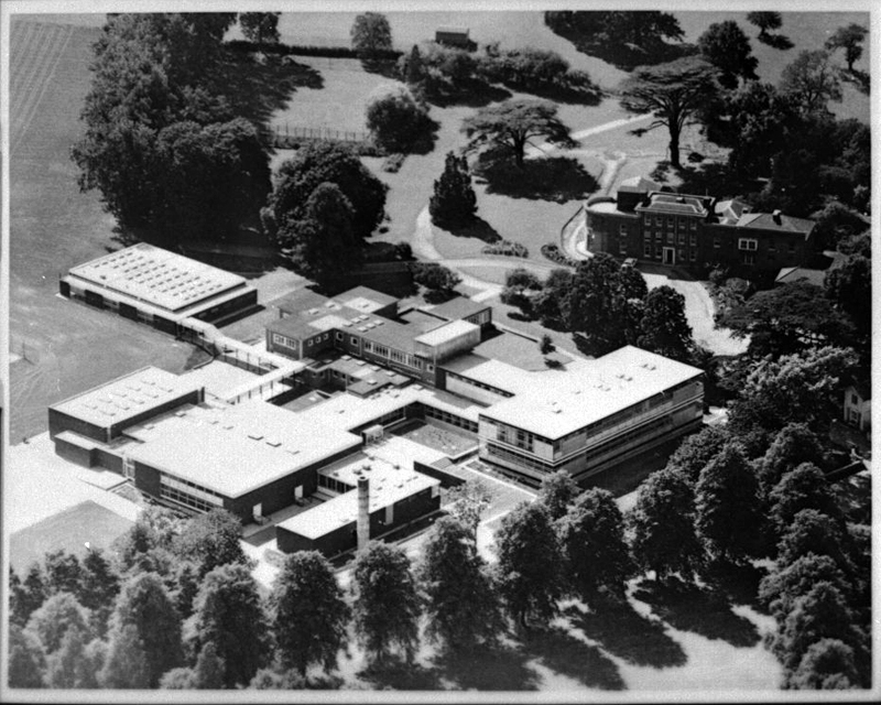
Wilmington Academy

Wilmington Academy is a mixed secondary school located in Wilmington, Kent in the United Kingdom. It stands next to the site of Wilmington Hall. Wilmington...

Wilmington Grammar School for Boys

Wilmington Grammar School for Boys (WGSB) is a selective grammar school with academy status in Wilmington, Kent. From 1954 to 1982, the school was called...

Wilmington Grammar School for Girls

Wilmington Grammar School for Girls (WGSG), previously known as the Grammar School for Girls Wilmington, is a grammar school with academy status in Wilmington...

Bexley Hospital

Bexley Hospital was a psychiatric hospital at Old Bexley Lane, Dartford Heath, Bexley, in the County of Kent. It operated between 19 September 1898 and...

Maypole, Dartford

Maypole is a village in the Borough of Dartford in Kent, England. It is located north of Joyden's Wood and south-west of the town of Dartford. In the 2021...

Dartford Heath

Dartford Heath Common is an area of open heathland situated to the south-west of Dartford, Kent, England, that covers around 314 acres (127 ha) of open...

Nearby Amenities

Located within 500m of 51.42661,0.18449351
Post Box
Brand: Royal Mail
Brand Wikidata: Q638098
Brand Wikipedia: en:Royal Mail
Mapillary: 508701860145608
Operator: Royal Mail
Operator Wikidata: Q638098
Post Box Mounting: brick_wall
Post Box Type: wall
Ref: DA2 272
Survey Date: 2020-12-05
Lat/Long: 51.4277897/0.1805383
Bus Stop
Hook Green Lane
Bench: no
Layby: no
Local Ref: adj
Naptan AtcoCode: 2400A020250A
Naptan Bearing: S
Naptan BusStopType: MKD
Naptan CommonName: Hook Green Lane
Naptan Indicator: adj
Naptan Landmark: Hook Green Lane
Naptan NaptanCode: kntawawa
Naptan RevisionNumber: 4
Naptan Status: act
Naptan Street: Birchwood Road
Public Transport: platform
Ref: 48976
Shelter: no
Source: naptan_import
Source Date: 2018-04-26
Tactile Paving: no
Lat/Long: 51.4271217/0.1802598
Bus Stop
Birchwood Drive
Bench: no
Layby: yes
Local Ref: opp
Naptan AtcoCode: 2400A020260A
Naptan Bearing: SW
Naptan BusStopType: MKD
Naptan CommonName: Birchwood Drive
Naptan Indicator: opp
Naptan Landmark: Birchwood Drive
Naptan NaptanCode: kntawawd
Naptan RevisionNumber: 4
Naptan Status: act
Naptan Street: Birchwood Road
Public Transport: platform
Ref: 73883
Shelter: no
Source: naptan_import
Source Date: 2018-04-26
Tactile Paving: no
Lat/Long: 51.4249161/0.1779718
Bus Stop
Birchwood Drive
Bench: no
Layby: no
Local Ref: adj
Naptan AtcoCode: 2400103713
Naptan Bearing: NE
Naptan BusStopType: MKD
Naptan CommonName: Birchwood Drive
Naptan Indicator: adj
Naptan Landmark: Birchwood Drive
Naptan NaptanCode: kntjmgmt
Naptan RevisionNumber: 2
Naptan Status: act
Naptan Street: Birchwood Road
Naptan Verified: no
Public Transport: platform
Ref: 75179
Shelter: no
Source: naptan_import
Source Date: 2018-04-26
Tactile Paving: no
Lat/Long: 51.4257418/0.1788699
Bus Stop
Cherry Tree Lane
Bench: no
Layby: no
Local Ref: adj
Naptan AtcoCode: 2400103709
Naptan Bearing: S
Naptan BusStopType: MKD
Naptan CommonName: Cherry Tree Lane
Naptan Indicator: adj
Naptan Landmark: Cherry Tree Lane
Naptan NaptanCode: kntjmgmj
Naptan RevisionNumber: 3
Naptan Status: act
Naptan Street: Leyton Cross Road
Naptan Verified: no
Public Transport: platform
Shelter: no
Source: naptan_import
Source Date: 2018-04-26
Tactile Paving: no
Lat/Long: 51.4294823/0.1816317
Bus Stop
Cherry Tree Lane
Bench: no
Layby: no
Local Ref: opp
Naptan AtcoCode: 2400103711
Naptan Bearing: N
Naptan BusStopType: MKD
Naptan CommonName: Cherry Tree Lane
Naptan Indicator: opp
Naptan Landmark: Cherry Tree Lane
Naptan NaptanCode: kntjmgmp
Naptan RevisionNumber: 2
Naptan Status: act
Naptan Street: Leyton Cross Road
Naptan Verified: no
Public Transport: platform
Shelter: no
Source: naptan_import
Source Date: 2018-04-26
Tactile Paving: no
Lat/Long: 51.4298104/0.1816392
Bus Stop
Hook Green Lane
Bench: no
Layby: no
Local Ref: opp
Naptan AtcoCode: 2400102551
Naptan Bearing: N
Naptan BusStopType: MKD
Naptan CommonName: Hook Green Lane
Naptan Indicator: opp
Naptan Landmark: Hook Green Lane
Naptan NaptanCode: kntjamja
Naptan RevisionNumber: 4
Naptan Status: act
Naptan Street: Leyton Cross Road
Naptan Verified: no
Public Transport: platform
Ref: 55162
Shelter: no
Source: naptan_import
Source Date: 2018-04-26
Tactile Paving: no
Lat/Long: 51.4282239/0.1807272
Hook Green Lane
Bus: yes
Public Transport: stop_position
Source: survey
Lat/Long: 51.4282006/0.1808148
Cherry Tree Lane
Bus: yes
Public Transport: stop_position
Source: survey
Lat/Long: 51.4295015/0.1815544
Cherry Tree Lane
Bus: yes
Public Transport: stop_position
Source: survey
Lat/Long: 51.4297847/0.1817302
Birchwood Drive
Bus: yes
Public Transport: stop_position
Source: survey
Lat/Long: 51.424959/0.1779053
Birchwood Drive
Bus: yes
Public Transport: stop_position
Source: survey
Lat/Long: 51.4257074/0.178959
Hook Green Lane
Bus: yes
Public Transport: stop_position
Source: survey
Lat/Long: 51.427132/0.1802207
Hook Green
Place: hamlet
Lat/Long: 51.4255809/0.1895846
Defibrillator
Access: yes
Defibrillator Location: Post at gate entrance for vehicles
Emergency: defibrillator
Lat/Long: 51.4300905/0.1869937
The data included in this document is from www.openstreetmap.org. The data is made available under ODbL.

Have you been to Hook Green?

Leave your review of Hook Green below (or comments, questions and feedback).