Great Mount
Hill, Mountain in Kent Dartford
England
Great Mount
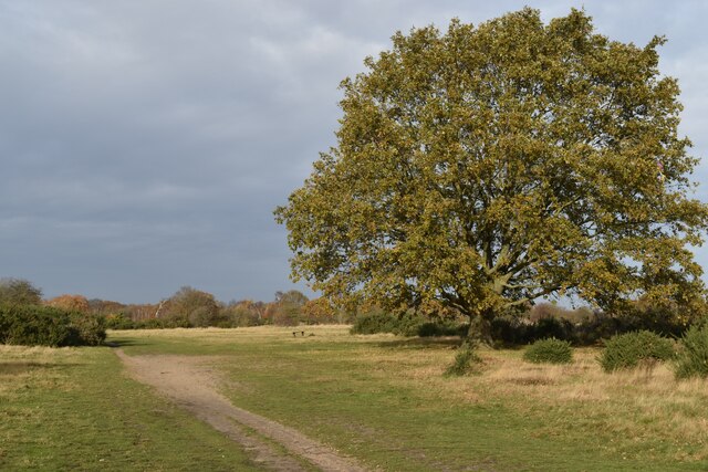
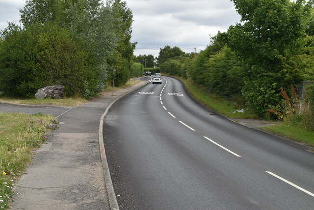
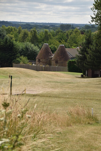
Great Mount, located in Kent, is a prominent hill that stands majestically in the southeastern region of England. With an elevation of approximately 250 meters (820 feet), it is often referred to as a mountain due to its impressive height and commanding presence in the surrounding landscape.
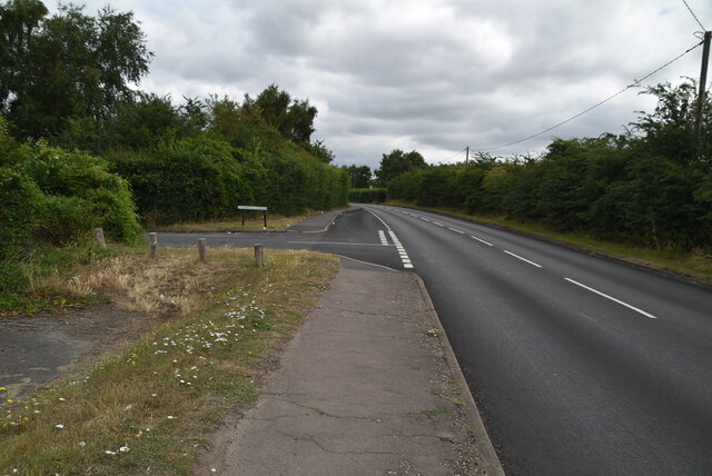
Situated within the North Downs area, Great Mount offers breathtaking panoramic views of the surrounding countryside. Its strategic location allows visitors to witness a stunning vista, with rolling green hills, picturesque villages, and meandering rivers stretching out as far as the eye can see.
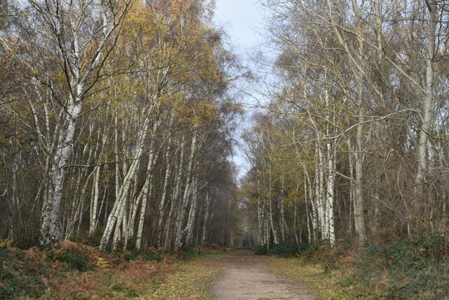
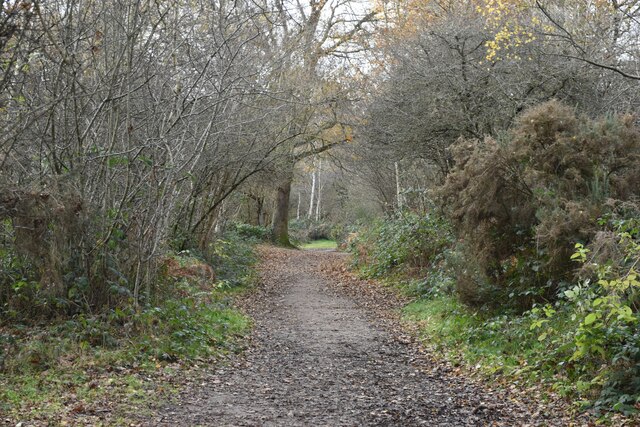
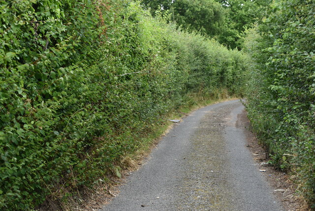
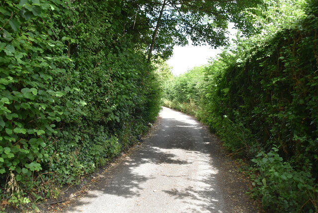
The hill itself is covered in lush vegetation, including a variety of native trees and wildflowers. It provides a haven for a rich diversity of wildlife, making it a popular destination for nature enthusiasts and birdwatchers. The area is home to several rare and protected species, including birds of prey and various small mammals.
Great Mount has historical significance as well. It is believed to have been inhabited by humans since prehistoric times, and archaeological excavations have unearthed artifacts from the Iron Age and Roman periods. The hill also played a role in medieval times, when it was used as a lookout point and a strategic location for defensive purposes.
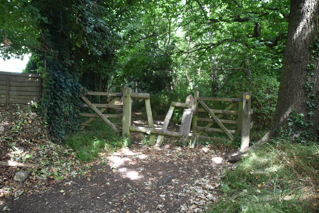
Today, Great Mount is a popular destination for outdoor activities such as hiking, cycling, and picnicking. There are well-maintained trails that lead to the summit, providing visitors with an opportunity to explore the hill's natural beauty up close. Whether it's admiring the breathtaking views, immersing oneself in nature, or delving into the area's fascinating history, Great Mount offers a memorable experience for all who visit.
If you have any feedback on the listing, please let us know in the comments section below.
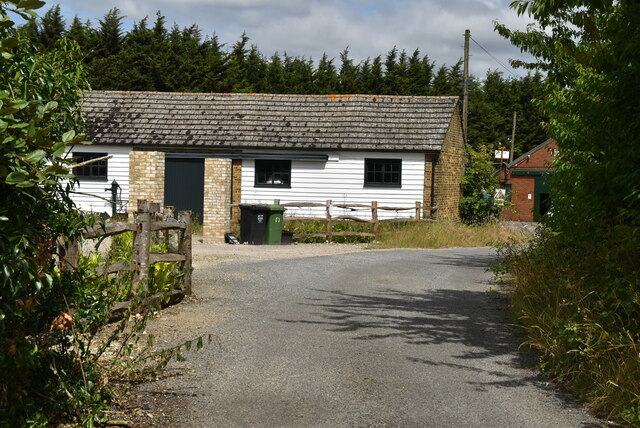
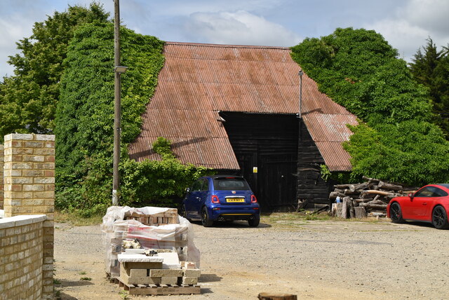
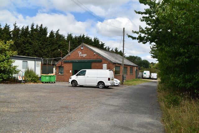
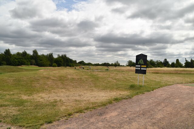
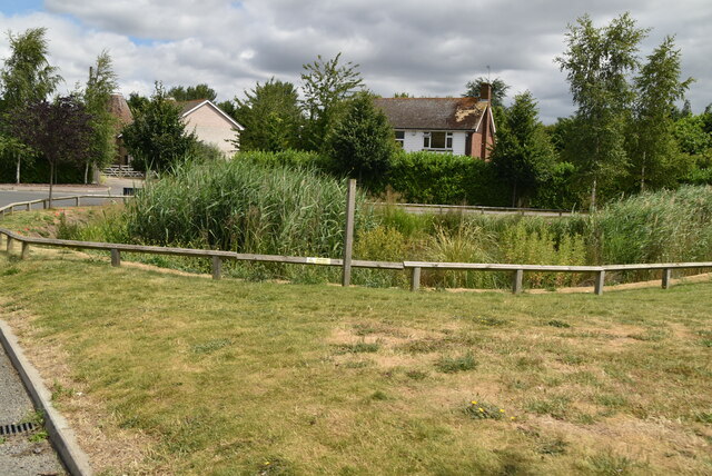
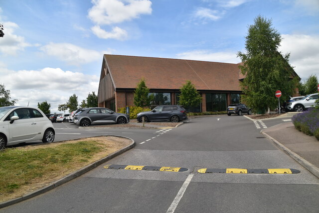
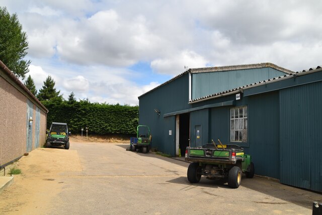
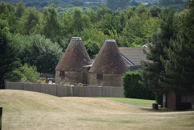
Great Mount Images
Images are sourced within 2km of 51.418893/0.1840536 or Grid Reference TQ5171. Thanks to Geograph Open Source API. All images are credited.
Great Mount is located at Grid Ref: TQ5171 (Lat: 51.418893, Lng: 0.1840536)
Administrative County: Kent
District: Dartford
Police Authority: Kent
What 3 Words
///open.shins.payer. Near Swanley, Kent
Nearby Locations
Related Wikis

Hextable
Hextable is a village and civil parish in the Sevenoaks District of Kent, England. It lies 2 miles (3.2 km) north of Swanley and 4 miles (6.4 km) south...

F.C. Elmstead
F.C. Elmstead is a semi-professional football club based in Elmstead, London, England. They are currently members of the Southern Counties East League...
Sutton Athletic F.C.
Sutton Athletic F.C. is an English football club in Sutton-at-Hone, near Dartford in Kent. The club plays in the Southern Counties East League Premier...
Wilmington Academy
Wilmington Academy is a mixed secondary school located in Wilmington, Kent in the United Kingdom. It stands next to the site of Wilmington Hall. Wilmington...
Bowmans, Kent
Bowmans is a part of the town of Dartford in Kent, England. It is located to the south-west of the town centre.
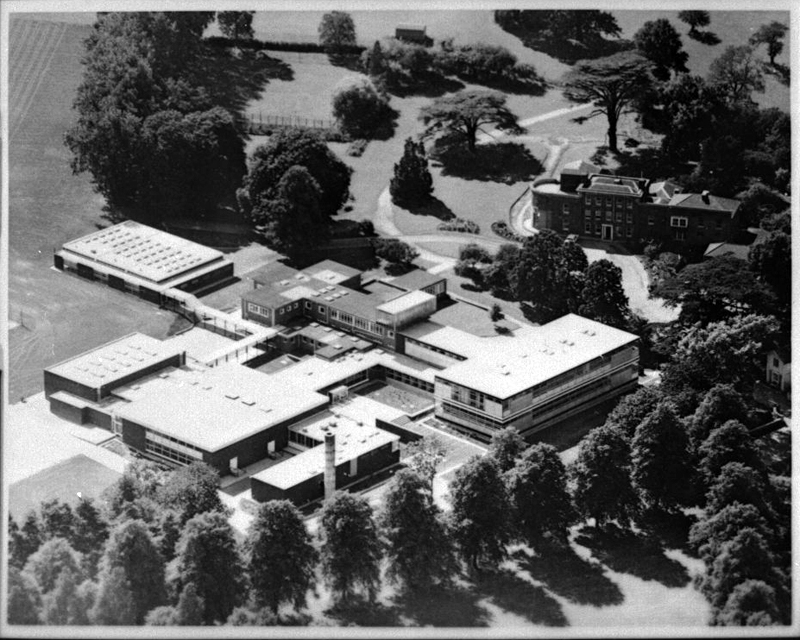
Wilmington Grammar School for Boys
Wilmington Grammar School for Boys (WGSB) is a selective grammar school with academy status in Wilmington, Kent. From 1954 to 1982, the school was called...
Oasis Academy Hextable
Oasis Academy Hextable (formerly Hextable School) was a secondary school and sixth form with academy status, located in Hextable, Kent, England. ��2�...

Wilmington, Kent
Wilmington is a village and civil parish in the Borough of Dartford in Kent, England. It is located 2.7 miles south of Dartford, 3.5 miles north of Swanley...
Nearby Amenities
Located within 500m of 51.418893,0.1840536Have you been to Great Mount?
Leave your review of Great Mount below (or comments, questions and feedback).