Hook End

Settlement in Essex Brentwood

England

Hook End

Stondon Massey, Ongar Road: Semi-detached bungalows
Stondon Massey, Ongar Road: Semi-detached bungalows Credit: Michael Garlick

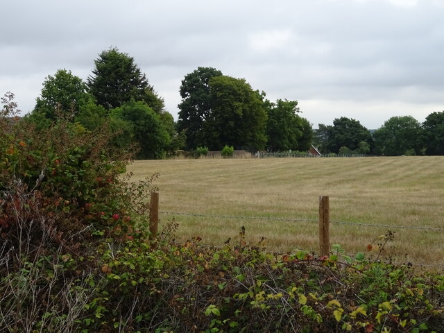
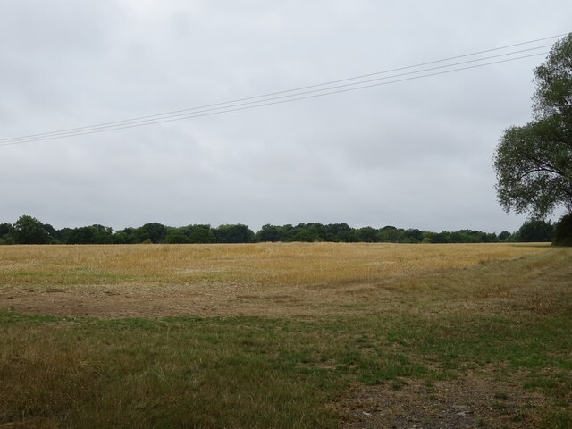
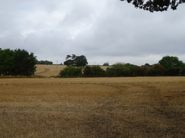
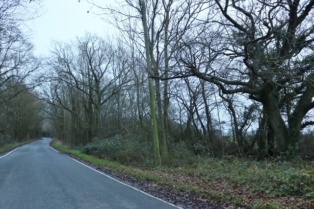
Hook End is a small village located in the county of Essex, England. Situated approximately 6 miles southeast of the town of Chelmsford, it falls within the district of Epping Forest. The village is surrounded by beautiful countryside, characterized by rolling hills, lush green fields, and picturesque woodlands.

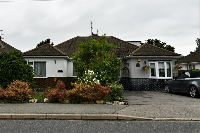
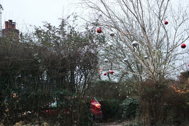
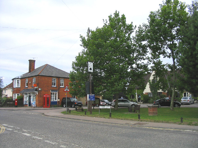
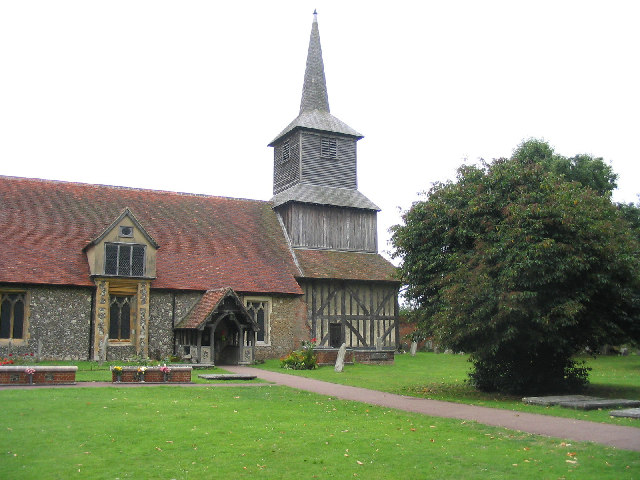
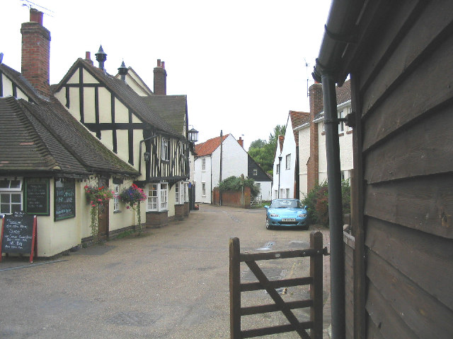
Hook End is home to a tight-knit community, with a population of just over 500 residents. The village has a rich history, dating back to medieval times, and there are still remnants of its past scattered throughout, including a few timber-framed buildings that have stood the test of time.

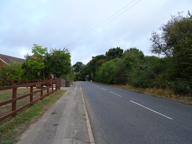
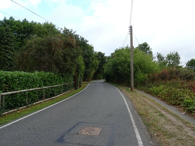
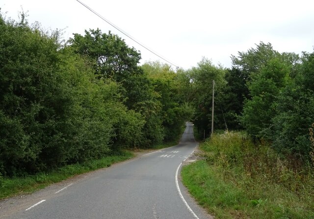
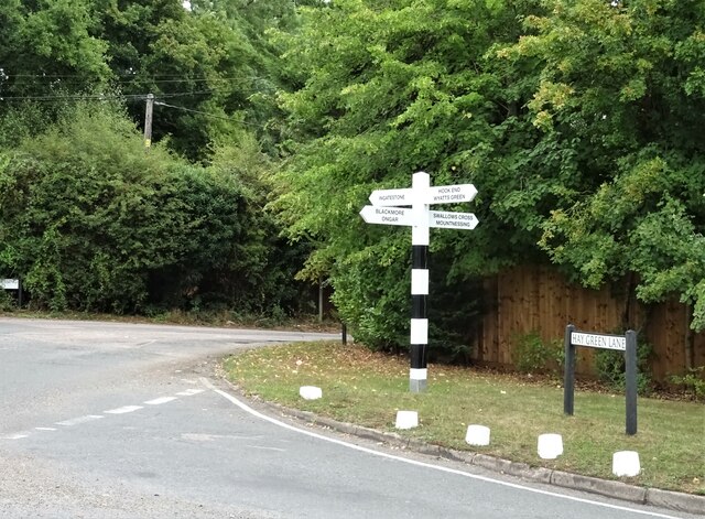
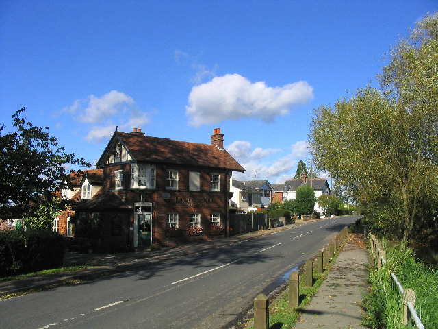
The village is well-connected, with easy access to major road networks. The A414, which runs through the village, provides a direct link to Chelmsford and other nearby towns. Additionally, the village is served by several bus routes, making it convenient for residents to travel to neighboring areas.

Despite its small size, Hook End offers a range of amenities for its residents. There is a village hall that hosts various community events and gatherings, providing a hub for social interaction. The village also has a primary school, ensuring that young families have access to education within the local area.

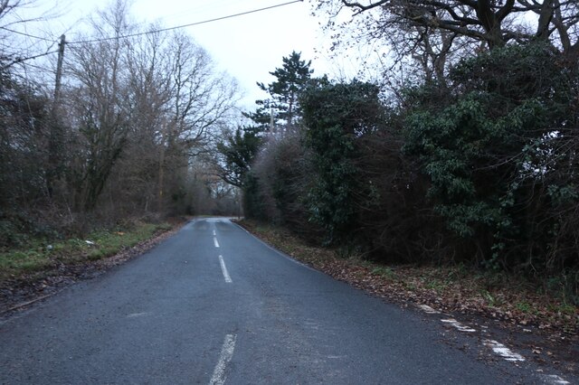
Surrounded by stunning landscapes, Hook End provides ample opportunities for outdoor activities. The nearby countryside offers numerous walking and cycling trails, allowing residents to explore the natural beauty of their surroundings.

In summary, Hook End is a charming village in Essex that boasts a close-knit community, rich history, and easy access to both urban amenities and tranquil countryside.

If you have any feedback on the listing, please let us know in the comments section below.
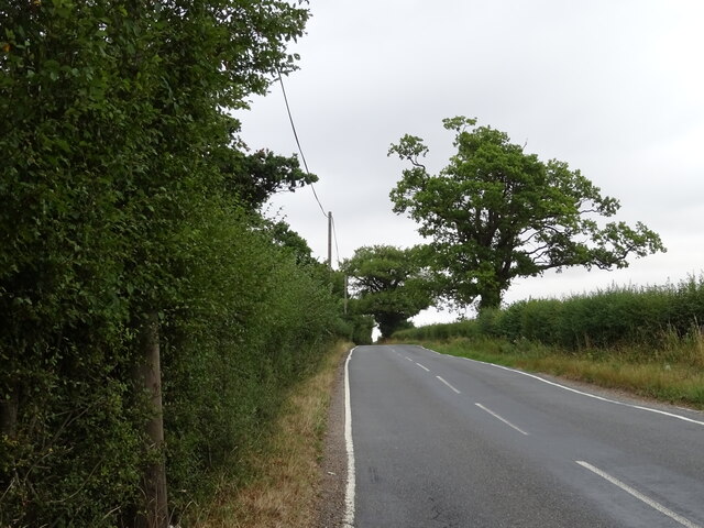
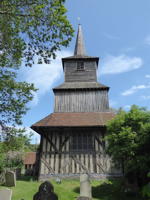
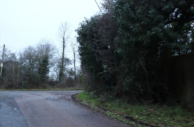
Hook End Images

Images are sourced within 2km of 51.678601/0.29973879 or Grid Reference TL5900. Thanks to Geograph Open Source API. All images are credited.

Stondon Massey, Ongar Road: Semi-detached bungalows
Tipps Cross Lane Towards Tipps Cross.
Tipps Cross Lane
Towards Tipps Cross.
Cut silage field off Hook End Lane, Hook End
Looking north on Hook End Lane, Hook End
Stubble field off Hay Green Lane
Hay Green Lane Towards Blackmore.
Hay Green Lane
Towards Blackmore.
Fingerpost on Hay Green Lane Junction with Ingatestone Road.
Fingerpost on Hay Green Lane
Junction with Ingatestone Road.
Stubble field off Ingatestone Road
Ingatestone Road Heading north towards Blackmore.
Ingatestone Road
Heading north towards Blackmore.
Blackmore, St Laurence
Mountnessing Road approaching Blackmore
Blackmore Road south of Blackmore
Christmas baubles on Blackmore Road
Blackmore Village, Essex Blackmore derives its name from old English - "the black marsh". It is an attractive village approx. 6 miles north of Brentwood. The village green is called 'Horsefayre Green'.
Blackmore Village, Essex
Blackmore derives its name from old English - "the black marsh". It is an attractive village approx. 6 miles north of Brentwood. The village green is called 'Horsefayre Green'.
Priory Church of St. Laurence, Blackmore, Essex The church and the adjacent Jericho Priory are moated. The church is all that remains of an Augustine Priory built in the 12th century.
Priory Church of St. Laurence, Blackmore, Essex
The church and the adjacent Jericho Priory are moated. The church is all that remains of an Augustine Priory built in the 12th century.
The Bull Public House, Blackmore, Essex Located in Church Street this inn dates back to 1300.
The Bull Public House, Blackmore, Essex
Located in Church Street this inn dates back to 1300.
The Lychgate to St. Laurence Church, Blackmore, Essex
Show me another place!

Hook End is located at Grid Ref: TL5900 (Lat: 51.678601, Lng: 0.29973879)

Administrative County: Essex

District: Brentwood

Police Authority: Essex

What 3 Words

///edit.owners.strict. Near Kelvedon Hatch, Essex

Nearby Locations

Hook End

Related Wikis

Stondon Massey

Stondon Massey is a village and civil parish in the Brentwood district of Essex, England. The village is to the north of Brentwood, between Blackmore and...

Blackmore, Hook End and Wyatts Green

Blackmore, Hook End and Wyatts Green is a civil parish in the Brentwood borough of Essex, England. According to the 2001 census it had a population of...

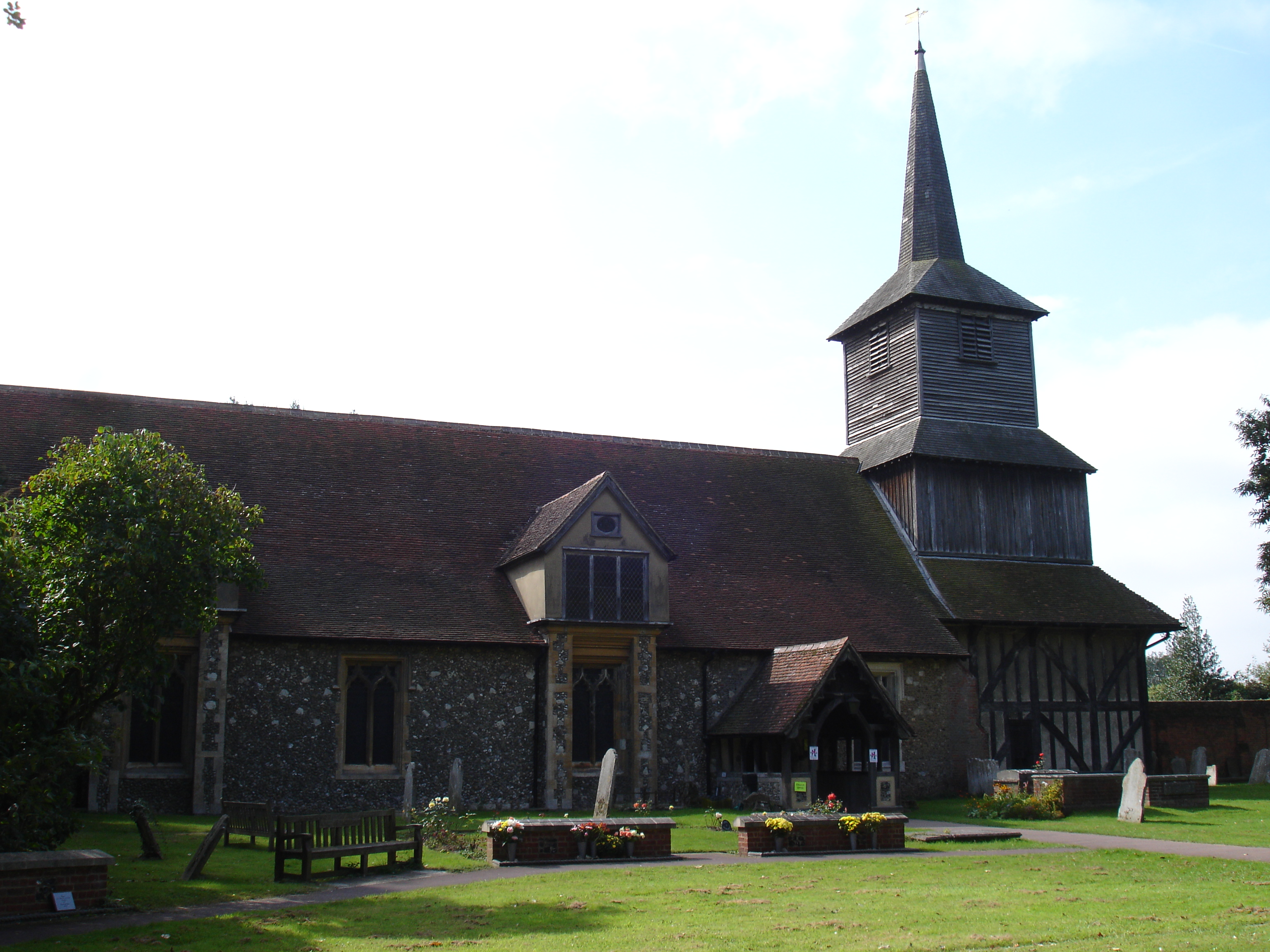
Church of All Saints, Doddinghurst

The Church of All Saints is a Church of England parish church in Doddinghurst, Essex. The church is a Grade I listed building. == Notable clergy == Oswald...

Doddinghurst

Doddinghurst is a village and civil parish in the Borough of Brentwood, in south Essex. It is 3 miles (5 km) to the north of Brentwood. == History == The...

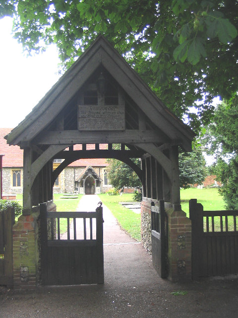
St Laurence's Church, Blackmore

St Laurence's Church is an Anglican church, in the village of Blackmore, Essex, England. It is a former priory church, and is noted for its wooden bell...

Blackmore Priory

Blackmore Priory was a priory in Essex, England. It was established as an Augustinian Priory with a Prior and twelve Canons, who were not monks but ordained...

The Coppice, Kelvedon Hatch

The Coppice, Kelvedon Hatch is a 9.4-hectare (23-acre) biological Site of Special Scientific Interest in Kelvedon Hatch in Essex.The site is an ancient...
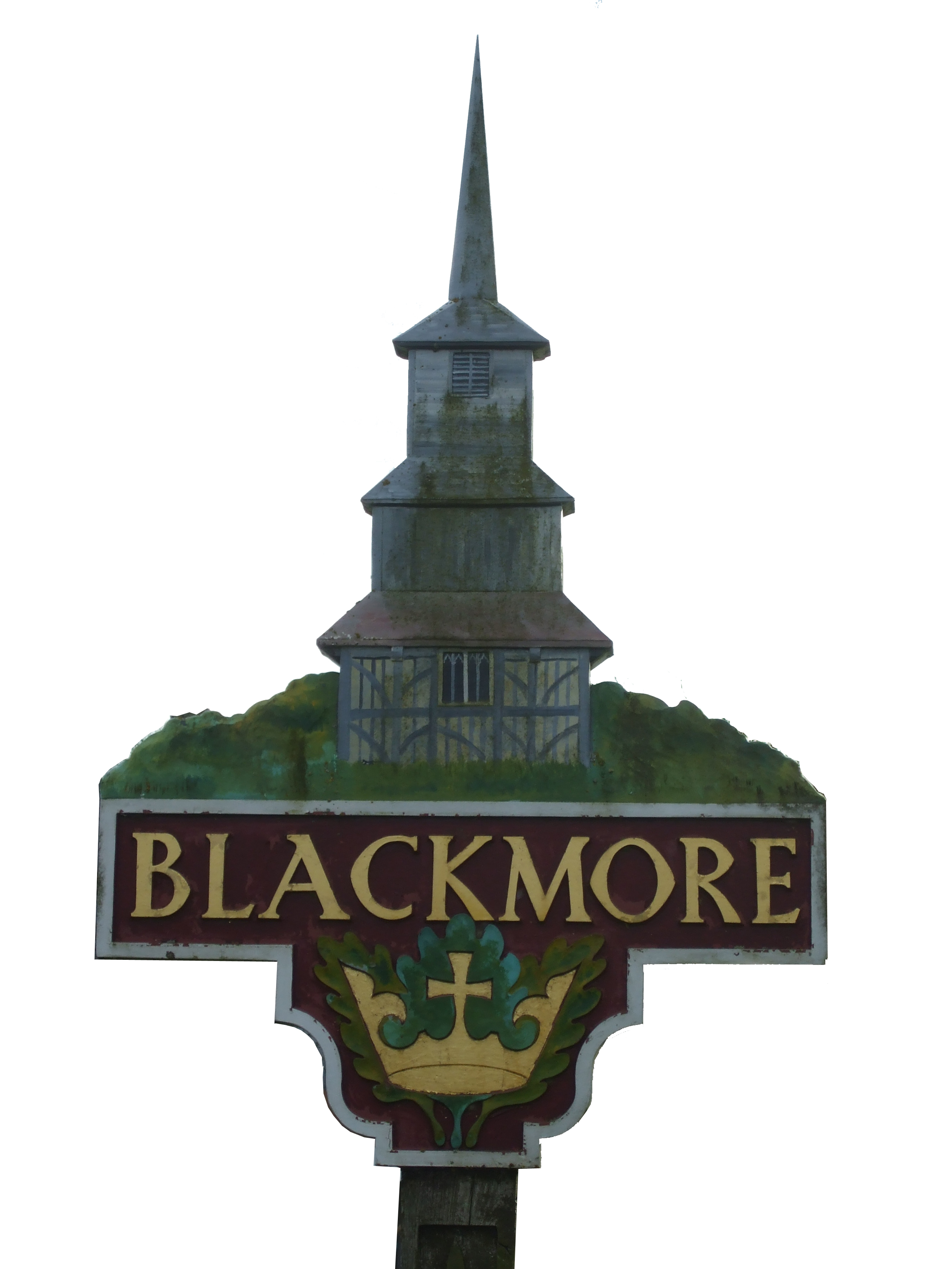
Blackmore

Blackmore is a village in Essex, England. It is located approximately 3 miles (5 km) east of Chipping Ongar and 4 miles (7 km) north of Brentwood. The...

Nearby Amenities

Located within 500m of 51.678601,0.29973879
Bus Stop
Tipps Cross Lane
Naptan AtcoCode: 150021017009
Naptan Bearing: SW
Naptan CommonName: Tipps Cross
Naptan Crossing: Tipps Cross Lane
Naptan Indicator: SW-bound
Naptan Landmark: Tipps Cross
Naptan NaptanCode: esxgamjp
Naptan Street: Blackmore Road
Naptan Verified: no
Public Transport: platform
Source: naptan_import
Lat/Long: 51.6764272/0.2946263
Bus Stop
Hook End Lane
Naptan AtcoCode: 150021017012
Naptan Bearing: SW
Naptan CommonName: Hook End Lane
Naptan Crossing: Hook End Lane
Naptan Indicator: Adj
Naptan Landmark: Hook End Lane
Naptan NaptanCode: esxgampa
Naptan Street: Blackmore Road
Naptan Verified: no
Public Transport: platform
Source: naptan_import
Lat/Long: 51.6799598/0.3002297
Bus Stop
Hook End Lane
Naptan AtcoCode: 1500HKENDLA
Naptan Bearing: NE
Naptan CommonName: Hook End Lane
Naptan Crossing: Hook End Lane
Naptan Indicator: Opp
Naptan Landmark: Hook End Lane
Naptan NaptanCode: esxgampd
Naptan Street: Blackmore Road
Naptan Verified: no
Public Transport: platform
Source: naptan_import
Lat/Long: 51.6804321/0.3013676
Bus Stop
Tipps Cross Lane
Naptan AtcoCode: 1500IM1243
Naptan Bearing: NE
Naptan CommonName: Tipps Cross
Naptan Crossing: Tipps Cross Lane
Naptan Indicator: NE-bound
Naptan Landmark: Tipps Cross
Naptan NaptanCode: esxgamjt
Naptan Street: Blackmore Road
Naptan Verified: no
Public Transport: platform
Source: naptan_import
Lat/Long: 51.6767178/0.2949447
Bus Stop
Blackmore House
Naptan AtcoCode: 1500IM550
Naptan Bearing: E
Naptan CommonName: Blackmore House
Naptan Crossing: Hook End Lane
Naptan Indicator: Opp
Naptan Landmark: Blackmore House
Naptan NaptanCode: esxgamjm
Naptan Street: Hook End Road
Naptan Verified: no
Public Transport: platform
Source: naptan_import
Lat/Long: 51.675015/0.2992414
Bus Stop
Blackmore House
Naptan AtcoCode: 1500IM550B
Naptan Bearing: W
Naptan BusStopType: CUS
Naptan CommonName: Blackmore House
Naptan Crossing: Hook End Lane
Naptan Indicator: o/s
Naptan Landmark: Blackmore House
Naptan NaptanCode: esxgamjg
Naptan Street: Hook End Road
Naptan Verified: no
Public Transport: platform
Source: naptan_import
Lat/Long: 51.6749537/0.2996144
Hook End
Place: locality
Lat/Long: 51.6768717/0.3024191
Tip's Cross
Place: locality
Lat/Long: 51.6770579/0.2952307
Post Box
Operator: Royal Mail
Operator Wikidata: Q638098
Post Box Mounting: pier
Post Box Type: lamp
Ref: CM15 40
Royal Cypher: EIIR
Lat/Long: 51.6790612/0.2932497
The data included in this document is from www.openstreetmap.org. The data is made available under ODbL.

Have you been to Hook End?

Leave your review of Hook End below (or comments, questions and feedback).