Holmgate
Settlement in Derbyshire North East Derbyshire
England
Holmgate
Holmgate is a small village located in the district of North East Derbyshire, in the county of Derbyshire, England. Situated approximately 3 miles northeast of the town of Clay Cross, Holmgate has a population of around 1,500 residents.
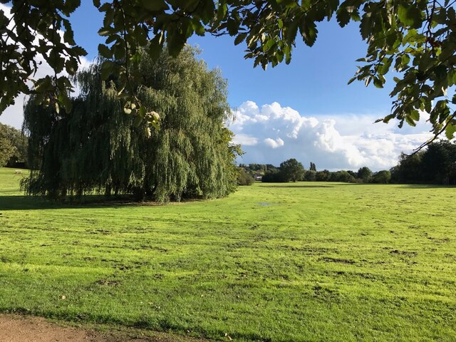
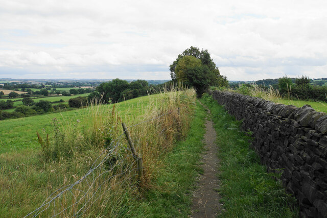
The village is nestled within the beautiful Derbyshire countryside, surrounded by rolling hills and picturesque landscapes. It offers a peaceful and tranquil environment, making it an ideal place for those seeking a quiet and rural lifestyle.
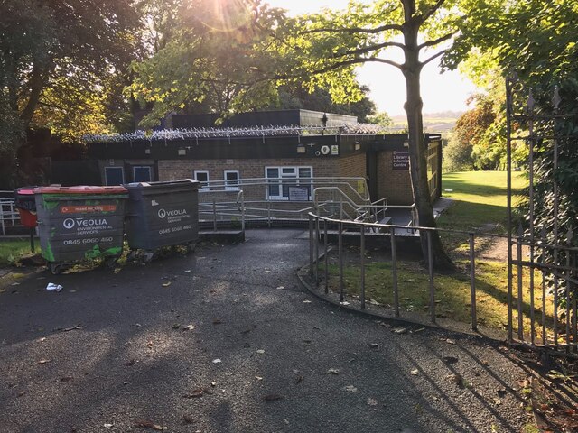
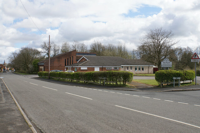
Holmgate is known for its close-knit community, with a range of amenities and facilities available for its residents. These include a primary school, a village hall, a local convenience store, and a few small businesses. The village also has a pub, providing a social hub for locals and visitors alike.
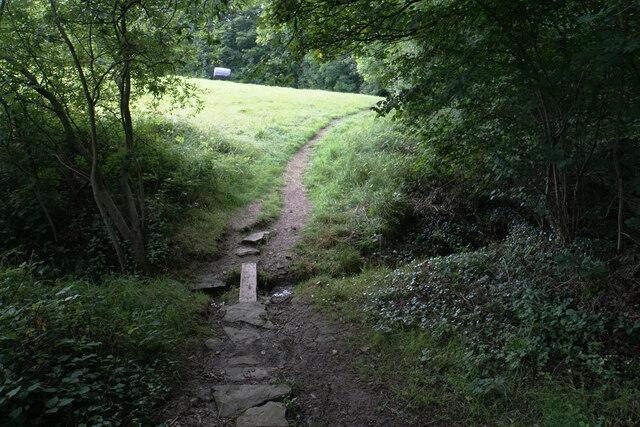
For outdoor enthusiasts, there are plenty of opportunities for walking, cycling, and exploring the surrounding countryside. The nearby Ogston Reservoir is a popular spot for birdwatching and fishing, while the Peak District National Park is just a short drive away, offering breathtaking views and a multitude of outdoor activities.
Holmgate benefits from good transport links, with easy access to the A61 road and the nearby M1 motorway. This allows residents to easily travel to nearby towns and cities such as Chesterfield, Sheffield, and Nottingham.
In summary, Holmgate is a charming village in Derbyshire, offering a peaceful and rural lifestyle, a close-knit community, and beautiful countryside surroundings.
If you have any feedback on the listing, please let us know in the comments section below.
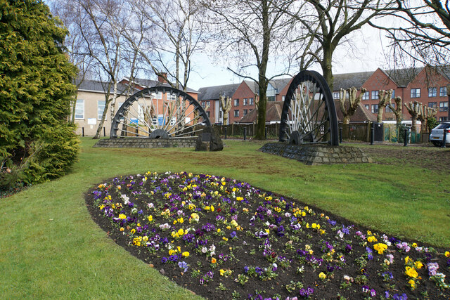
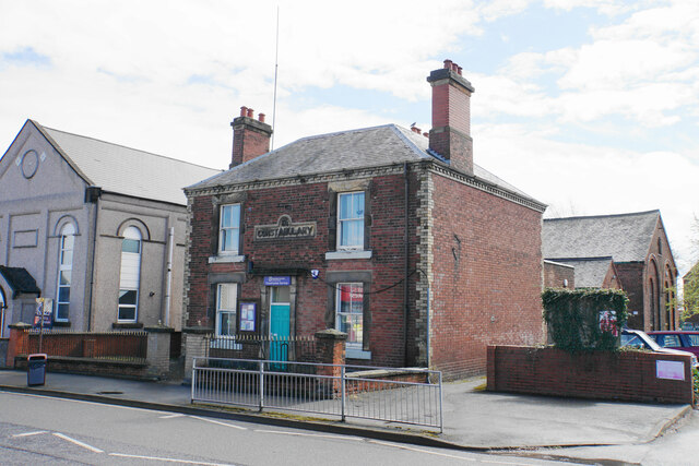
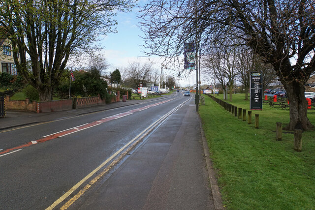
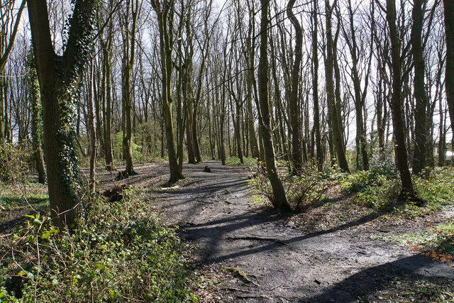
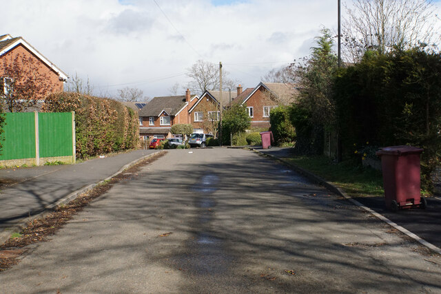
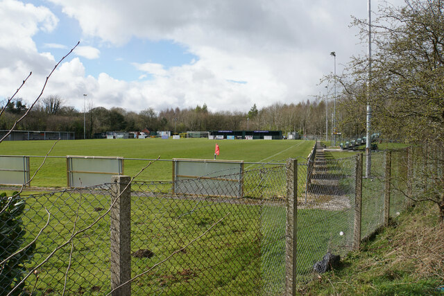
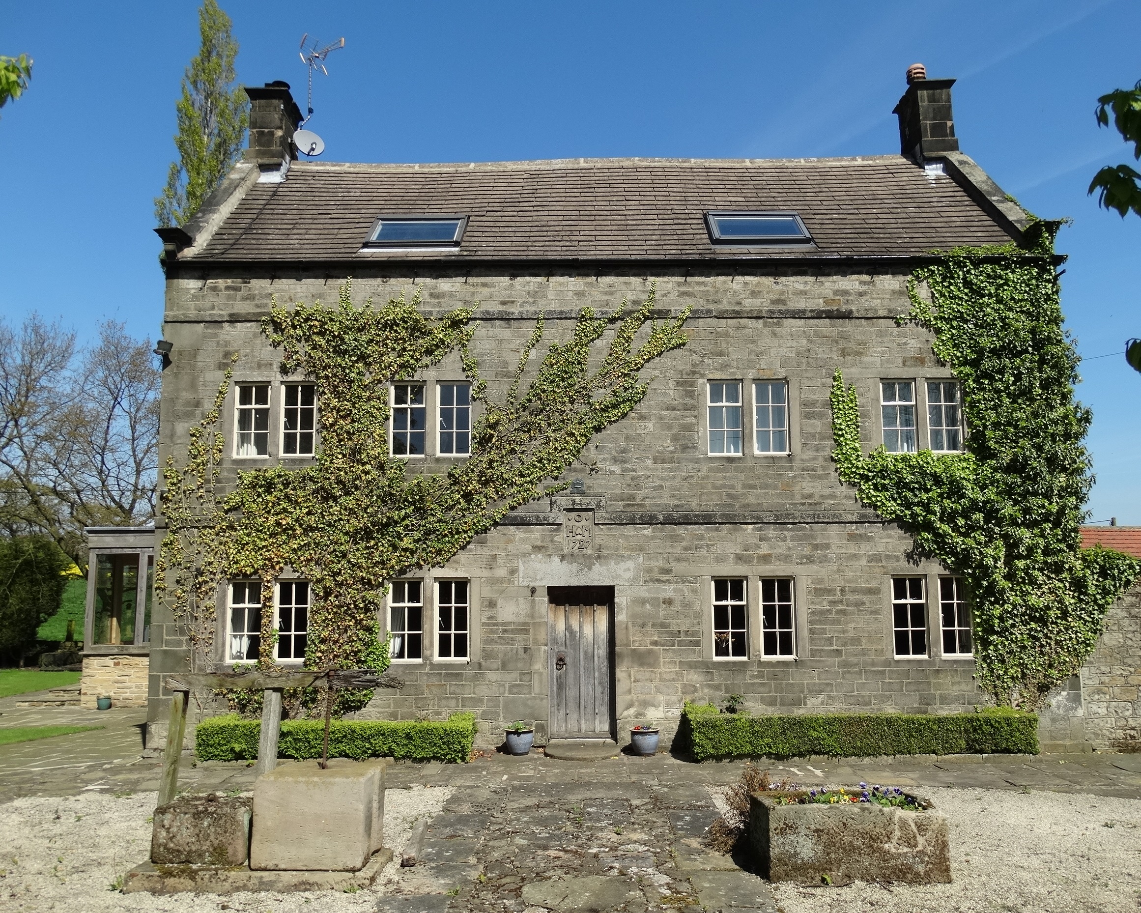
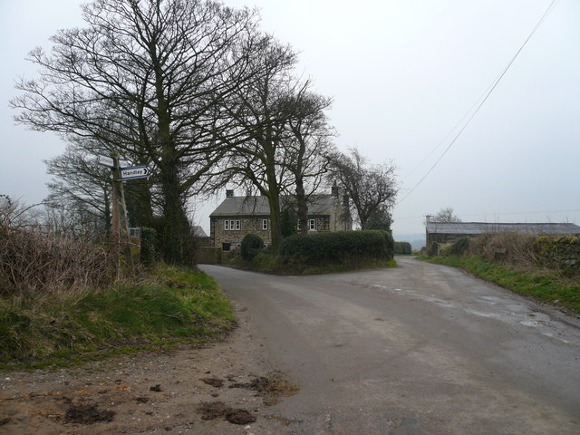
Holmgate Images
Images are sourced within 2km of 53.168173/-1.4420323 or Grid Reference SK3763. Thanks to Geograph Open Source API. All images are credited.


Holmgate is located at Grid Ref: SK3763 (Lat: 53.168173, Lng: -1.4420323)
Administrative County: Derbyshire
District: North East Derbyshire
Police Authority: Derbyshire
What 3 Words
///horseshoe.protect.outbid. Near Wingerworth, Derbyshire
Nearby Locations
Related Wikis
Holmgate
Holmgate is a hamlet and nearby housing estate between Clay Cross (where the population can be found) and Ashover, in the district of North East Derbyshire...

Clay Cross Town F.C.
Clay Cross Town Football Club is an English football club based in Clay Cross, Derbyshire. The club plays in the Northern Counties East League Division...
Littlemoor, Derbyshire
Littlemoor is a small village near the town of Chesterfield. Its population is around 100. It is the closest village to Ashover Rock (otherwise known...
Holmgate railway station
Holmgate railway station was a small station on the Ashover Light Railway and it served the Holmgate area of Clay Cross, North East Derbyshire, England...
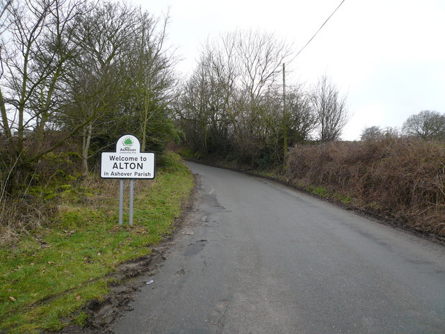
Alton, Derbyshire
Alton is a very small village in Derbyshire, England. Alton is in the civil parish of Ashover, and is around 2 miles away from Clay Cross although it is...
Clay Lane railway station
Clay Lane railway station was a small station on the Ashover Light Railway and it served the western area of Clay Cross in North East Derbyshire, England...
Springfield railway station (ALR)
Springfield railway station was a small station on the Ashover Light Railway and it served the western area of Clay Cross in North East Derbyshire, England...
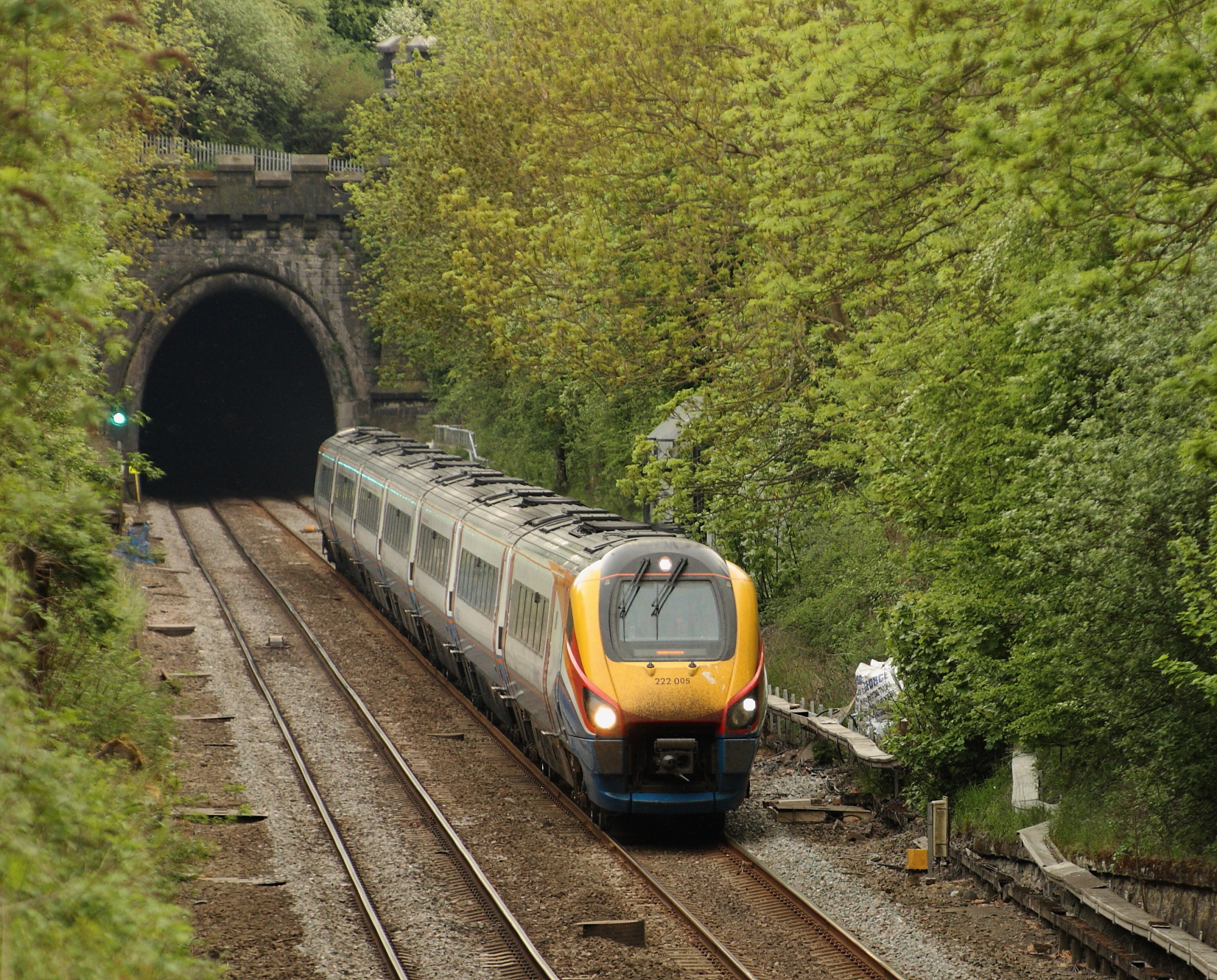
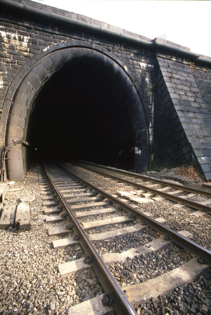
Clay Cross Tunnel
Clay Cross Tunnel is a 1,784 yards (1,631 m) tunnel on the former North Midland Railway line near Clay Cross in Derbyshire, England, now part of the Midland...
Nearby Amenities
Located within 500m of 53.168173,-1.4420323Have you been to Holmgate?
Leave your review of Holmgate below (or comments, questions and feedback).