Hollins Green
Settlement in Derbyshire North East Derbyshire
England
Hollins Green
Hollins Green is a charming village located in Derbyshire, England. Situated in the picturesque Peak District National Park, this small community is surrounded by rolling hills, lush green meadows, and tranquil woodlands. With a population of around 500 residents, Hollins Green offers a peaceful and close-knit atmosphere.
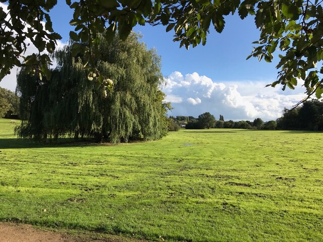
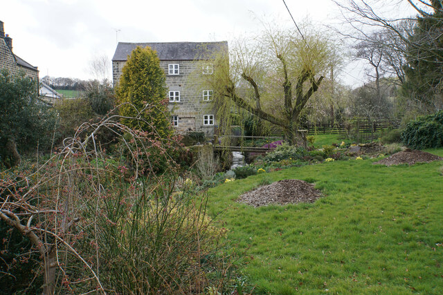
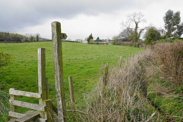
The village is known for its idyllic countryside, making it a popular destination for nature lovers and outdoor enthusiasts. Numerous walking trails and cycling routes crisscross the area, providing opportunities to explore the stunning scenery and enjoy the fresh air. One of the most notable landmarks in Hollins Green is the historic St. Mary's Church, which dates back to the 13th century and offers a glimpse into the village's rich heritage.
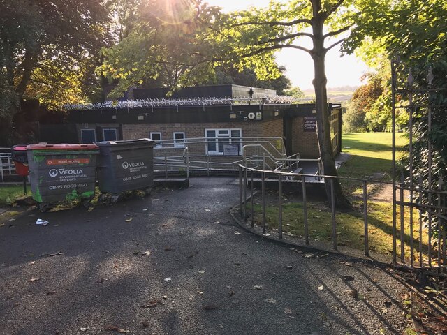
Despite its small size, Hollins Green is well-served by local amenities. The village boasts a community center, a primary school, and a local pub, where residents can gather for a pint and a chat. Additionally, there is a village shop that caters to the daily needs of the locals.
For those seeking a taste of city life, the vibrant city of Derby is just a short drive away. Derby offers a wide range of cultural attractions, shopping centers, and entertainment options, providing a perfect balance between rural and urban living.
In summary, Hollins Green is a charming village nestled in the heart of Derbyshire's stunning countryside. With its peaceful atmosphere, natural beauty, and convenient access to nearby amenities, it is an ideal place for those looking to escape the hustle and bustle of city life.
If you have any feedback on the listing, please let us know in the comments section below.
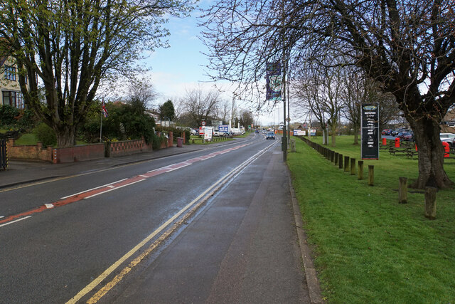
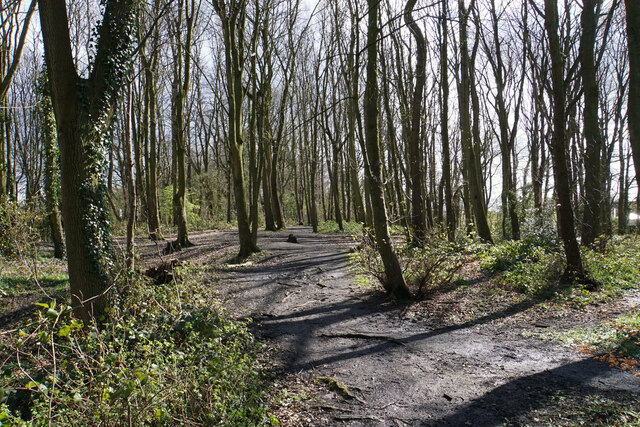
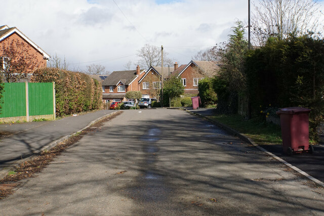
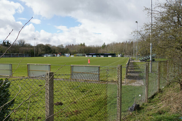
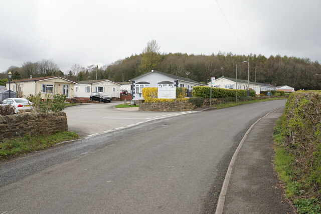
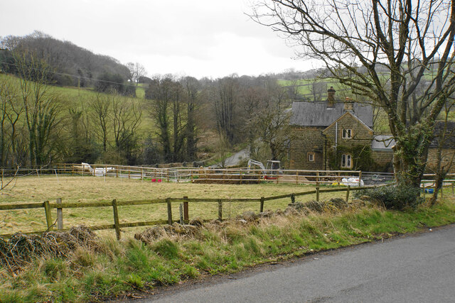
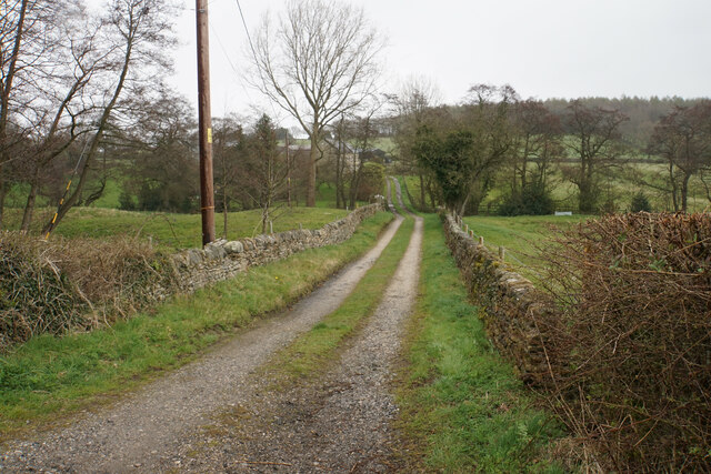
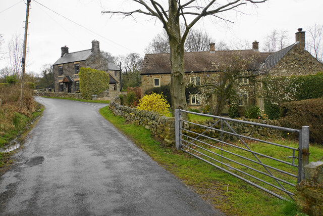
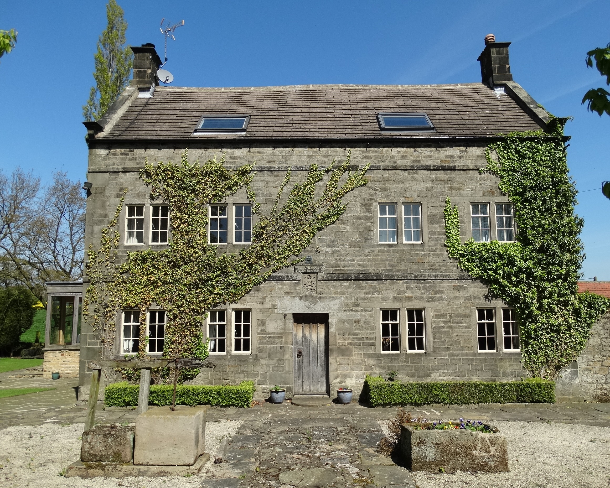
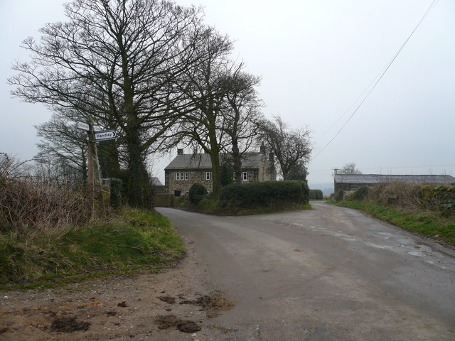
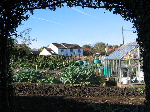
Hollins Green Images
Images are sourced within 2km of 53.165503/-1.443817 or Grid Reference SK3763. Thanks to Geograph Open Source API. All images are credited.


Hollins Green is located at Grid Ref: SK3763 (Lat: 53.165503, Lng: -1.443817)
Administrative County: Derbyshire
District: North East Derbyshire
Police Authority: Derbyshire
What 3 Words
///cove.scrambles.blesses. Near Wingerworth, Derbyshire
Nearby Locations
Related Wikis
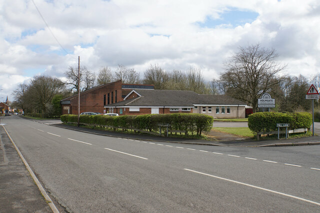
Holmgate
Holmgate is a hamlet and nearby housing estate between Clay Cross (where the population can be found) and Ashover, in the district of North East Derbyshire...
Littlemoor, Derbyshire
Littlemoor is a small village near the town of Chesterfield. Its population is around 100. It is the closest village to Ashover Rock (otherwise known...

Clay Cross Town F.C.
Clay Cross Town Football Club is an English football club based in Clay Cross, Derbyshire. The club plays in the Northern Counties East League Division...
Holmgate railway station
Holmgate railway station was a small station on the Ashover Light Railway and it served the Holmgate area of Clay Cross, North East Derbyshire, England...
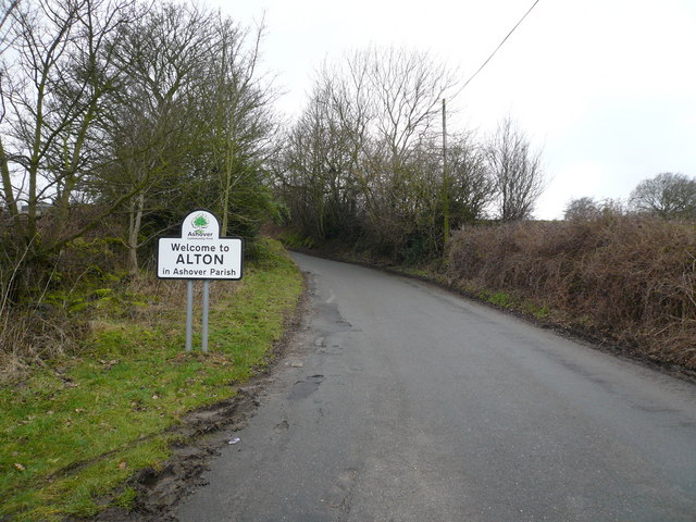
Alton, Derbyshire
Alton is a very small village in Derbyshire, England. Alton is in the civil parish of Ashover, and is around 2 miles away from Clay Cross although it is...
Clay Lane railway station
Clay Lane railway station was a small station on the Ashover Light Railway and it served the western area of Clay Cross in North East Derbyshire, England...
Springfield railway station (ALR)
Springfield railway station was a small station on the Ashover Light Railway and it served the western area of Clay Cross in North East Derbyshire, England...
Woolley Moor
Woolley Moor is a small village in the North East Derbyshire district of Derbyshire, England. Its amenities include a school, a church and a public house...
Nearby Amenities
Located within 500m of 53.165503,-1.443817Have you been to Hollins Green?
Leave your review of Hollins Green below (or comments, questions and feedback).