Holmhead
Settlement in Kirkcudbrightshire
Scotland
Holmhead
Holmhead is a small rural settlement located in the historic county of Kirkcudbrightshire, Scotland. Situated approximately 4 miles northwest of the town of Kirkcudbright, Holmhead is surrounded by picturesque countryside and offers a peaceful and idyllic setting for its residents.
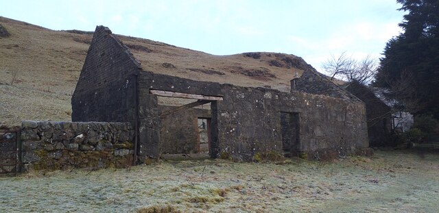
The village itself is characterized by a cluster of traditional stone-built cottages, many of which date back to the 19th century. These charming properties provide a glimpse into the area's rich architectural heritage and add to the village's overall charm.
Holmhead is known for its close-knit community, where residents enjoy a friendly and welcoming atmosphere. The village boasts a small local pub, the Holmhead Inn, which serves as a social hub for both locals and visitors. Additionally, the village has a community hall that hosts various events and gatherings throughout the year, fostering a sense of community spirit.
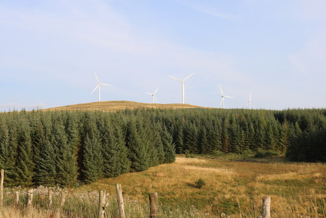
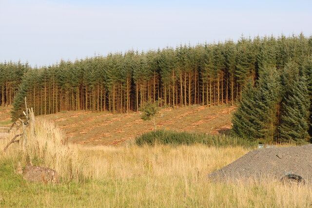
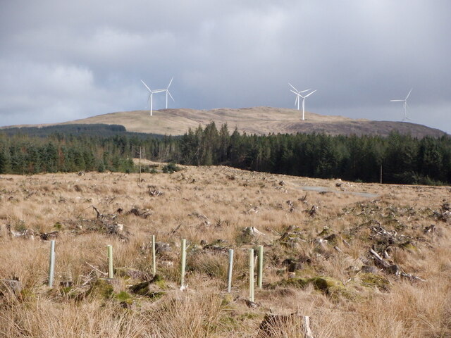
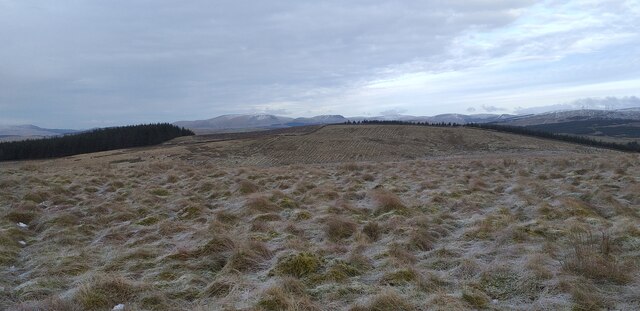
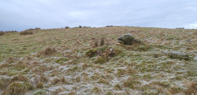
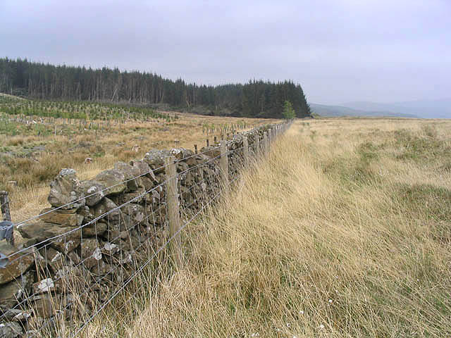
Surrounded by rolling hills and stunning natural landscapes, Holmhead offers ample opportunities for outdoor activities such as hiking, cycling, and wildlife spotting. The nearby Loch of Kirkcudbright provides a tranquil setting for fishing and boating enthusiasts, while the surrounding countryside offers breathtaking views and peaceful walks.
Although Holmhead is a relatively small village, it benefits from its proximity to Kirkcudbright, which offers a wider range of amenities including shops, schools, and healthcare facilities. The village is well-connected to other parts of Kirkcudbrightshire and Scotland via the A711 road, ensuring easy access to nearby towns and cities.
Overall, Holmhead is a charming and picturesque village that provides its residents with a peaceful and close-knit community, surrounded by stunning natural beauty.
If you have any feedback on the listing, please let us know in the comments section below.
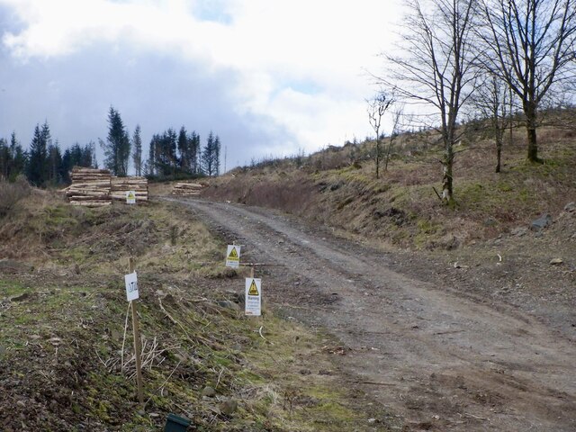
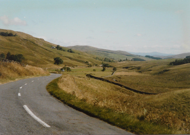
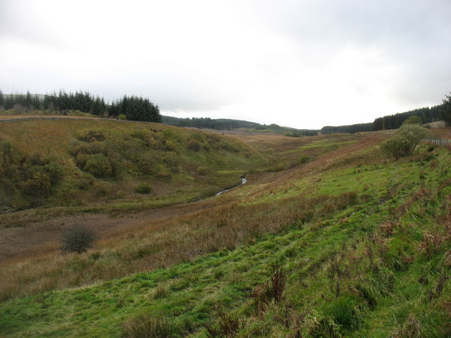
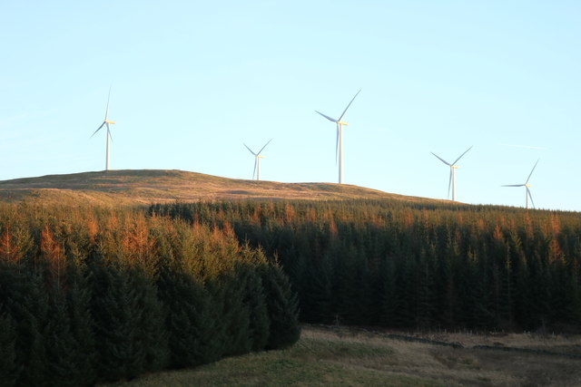
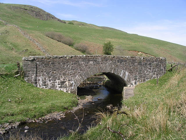
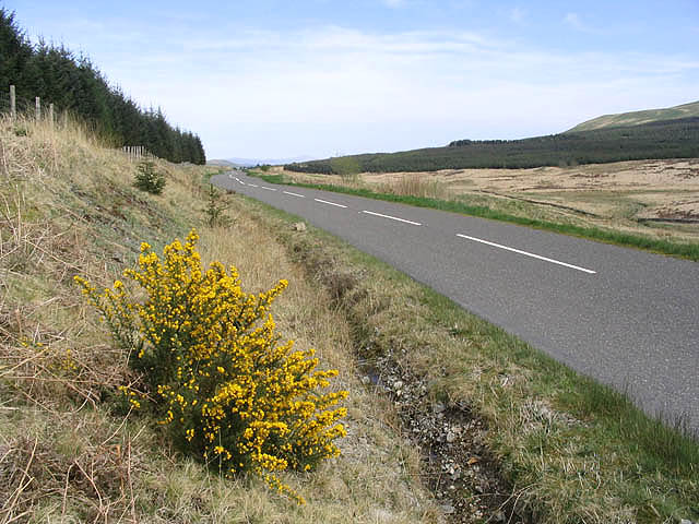
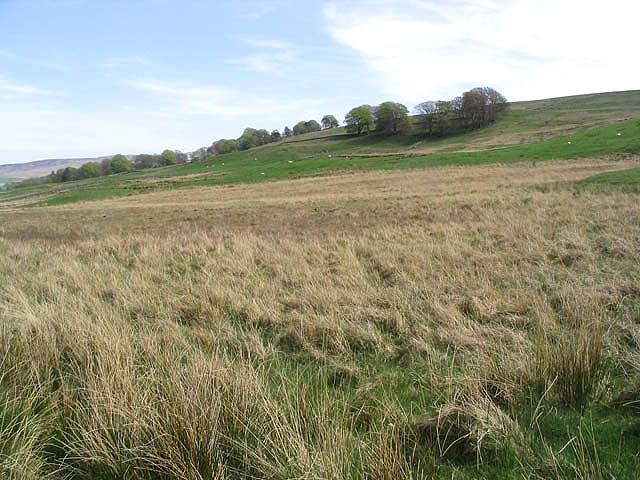
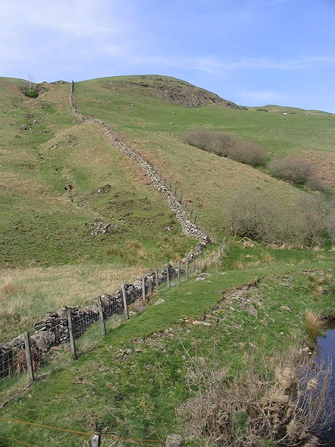
Holmhead Images
Images are sourced within 2km of 55.150358/-4.0270744 or Grid Reference NX7085. Thanks to Geograph Open Source API. All images are credited.

Holmhead is located at Grid Ref: NX7085 (Lat: 55.150358, Lng: -4.0270744)
Unitary Authority: Dumfries and Galloway
Police Authority: Dumfries and Galloway
What 3 Words
///snippet.activism.chaos. Near Thornhill, Dumfries & Galloway
Nearby Locations
Related Wikis

Loch Skae
Loch Skae is a small, upland freshwater loch to the north of Blackcraig Hill, approximately 18 miles (29 km) west of Dumfries, Scotland, 0.5 mi (0.80 km...

Loch Howie
Loch Howie is a small, narrow, upland freshwater loch on the north side of Blackcraig Hill, approximately 18 miles (29 km) west of Dumfries, Scotland....

Lochinvar
Lochinvar (or Lan Var) is a loch in the civil parish of Dalry in the historic county of Kirkcudbrightshire, Dumfries and Galloway Scotland. It is located...

Craigdarroch
"Craigdarroch, An Accessory to Murder" is an expansion set for the board game Kill Doctor Lucky Craigdarroch is a house near Moniaive, Dumfries and Galloway...
Nearby Amenities
Located within 500m of 55.150358,-4.0270744Have you been to Holmhead?
Leave your review of Holmhead below (or comments, questions and feedback).