Holbrook
Settlement in Sussex Horsham
England
Holbrook
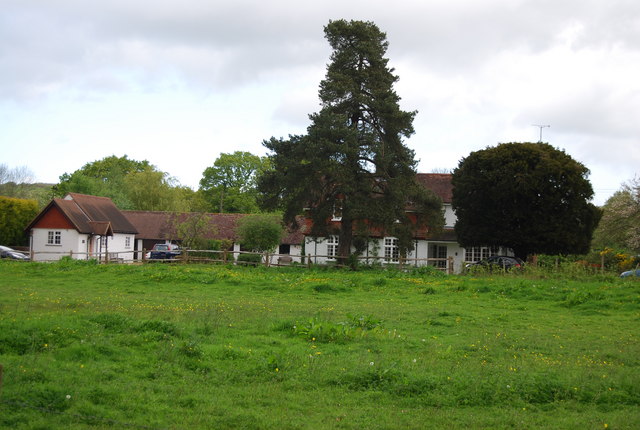
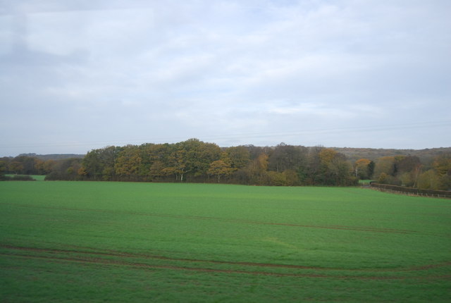
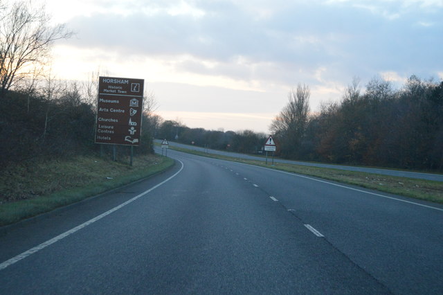
Holbrook is a small village located in the district of Mid Sussex, in the county of West Sussex, England. Situated about 5 miles north of the town of Horsham, Holbrook is positioned on the edge of the High Weald Area of Outstanding Natural Beauty.
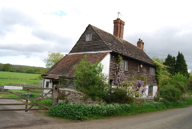
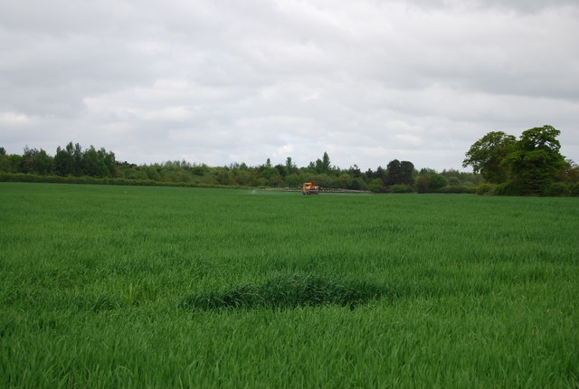
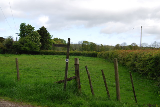
The village is primarily residential and boasts a picturesque countryside setting, surrounded by rolling hills and green fields. It has a population of approximately 800 residents and offers a peaceful and tranquil atmosphere. The architecture in Holbrook is a mix of traditional and modern styles, with charming cottages and modern houses blending seamlessly into the landscape.
Holbrook is well-served by amenities, including a local primary school, a village hall, and a church. The village also benefits from several shops and services, such as a convenience store, a post office, and a pub, providing for the day-to-day needs of its residents.
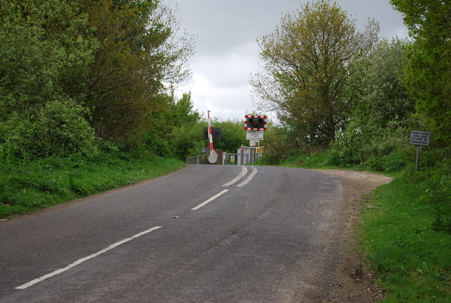
The surrounding area offers plenty of opportunities for outdoor activities and exploration. The nearby High Weald landscape is perfect for hiking, cycling, and enjoying nature. Additionally, the village is conveniently located near several other towns, such as Horsham and Crawley, which offer a wider range of amenities and entertainment options.
Overall, Holbrook is a charming and peaceful village, ideal for those seeking a serene countryside lifestyle with easy access to nearby urban areas.
If you have any feedback on the listing, please let us know in the comments section below.
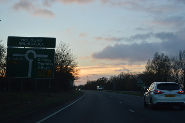
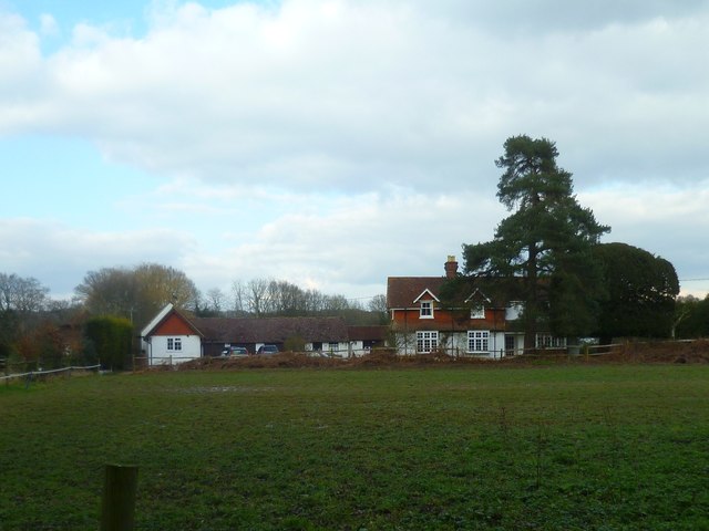
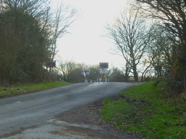
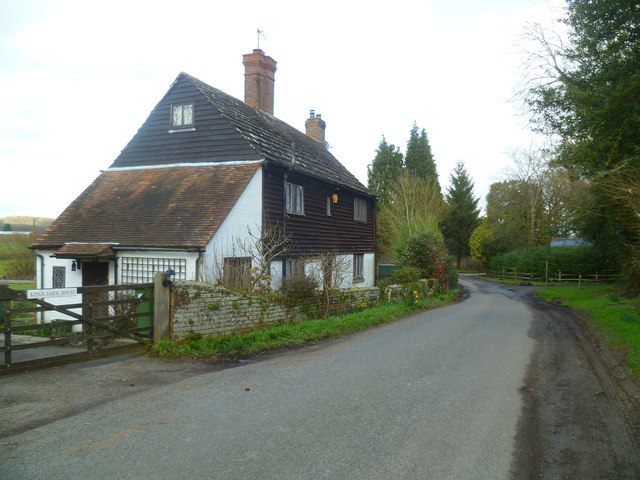
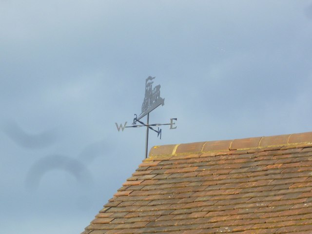
Holbrook Images
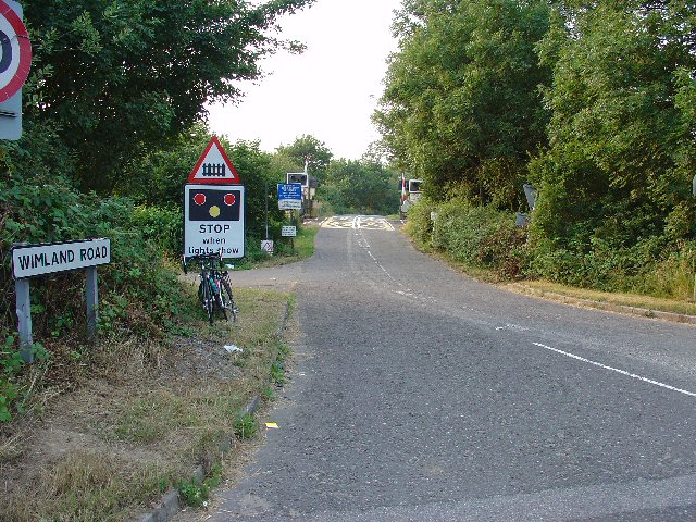
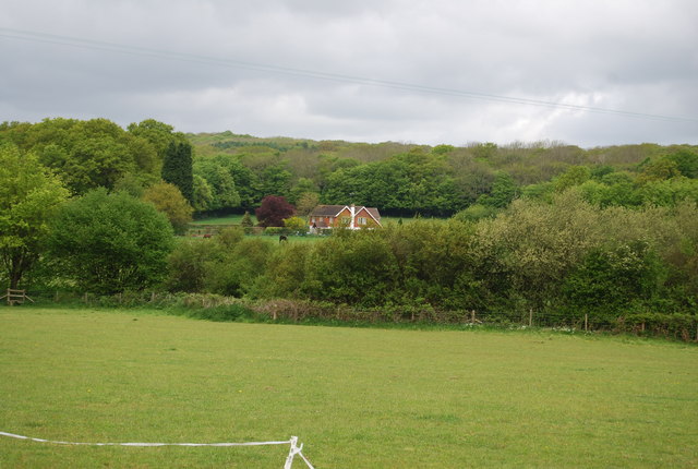
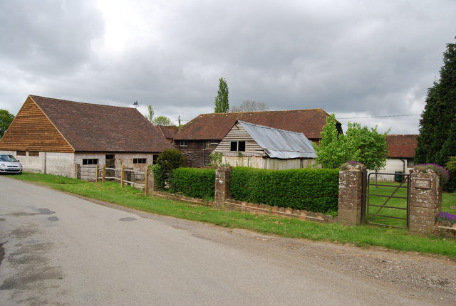
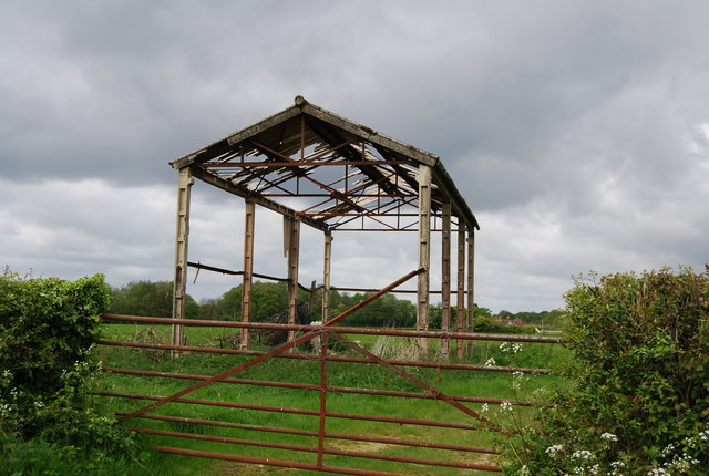
Images are sourced within 2km of 51.092937/-0.30947001 or Grid Reference TQ1833. Thanks to Geograph Open Source API. All images are credited.

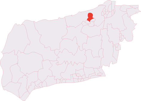
Holbrook is located at Grid Ref: TQ1833 (Lat: 51.092937, Lng: -0.30947001)
Administrative County: West Sussex
District: Horsham
Police Authority: Sussex
What 3 Words
///remembers.mouths.chatted. Near Warnham, West Sussex
Nearby Locations
Related Wikis
Holbrook (electoral division)
Holbrook is an electoral division of West Sussex in the United Kingdom and returns one member to sit on West Sussex County Council. The current County...

Graylands
Graylands is a hamlet in the Horsham district of West Sussex, England. The largely rural hamlet is located north of Holbrook beyond the A264. It is bordered...

Old Holbrook
Old Holbrook (formerly known as Northlands) is a hamlet in the Horsham district of West Sussex, England. This rural hamlet is located north of the Horsham...

Bohunt Horsham
Bohunt Horsham is a coeducational all-through school located in Horsham, West Sussex, England. The school opened to 120 students in Year 7 in 2019 in temporary...
Roffey F.C.
Roffey F.C. is an English football club located in Roffey, Horsham in West Sussex. The club are currently members of the Southern Combination Division...
North Horsham
North Horsham is a civil parish in the district of Horsham in West Sussex, England, covering the northern part of the Horsham town area. According to...

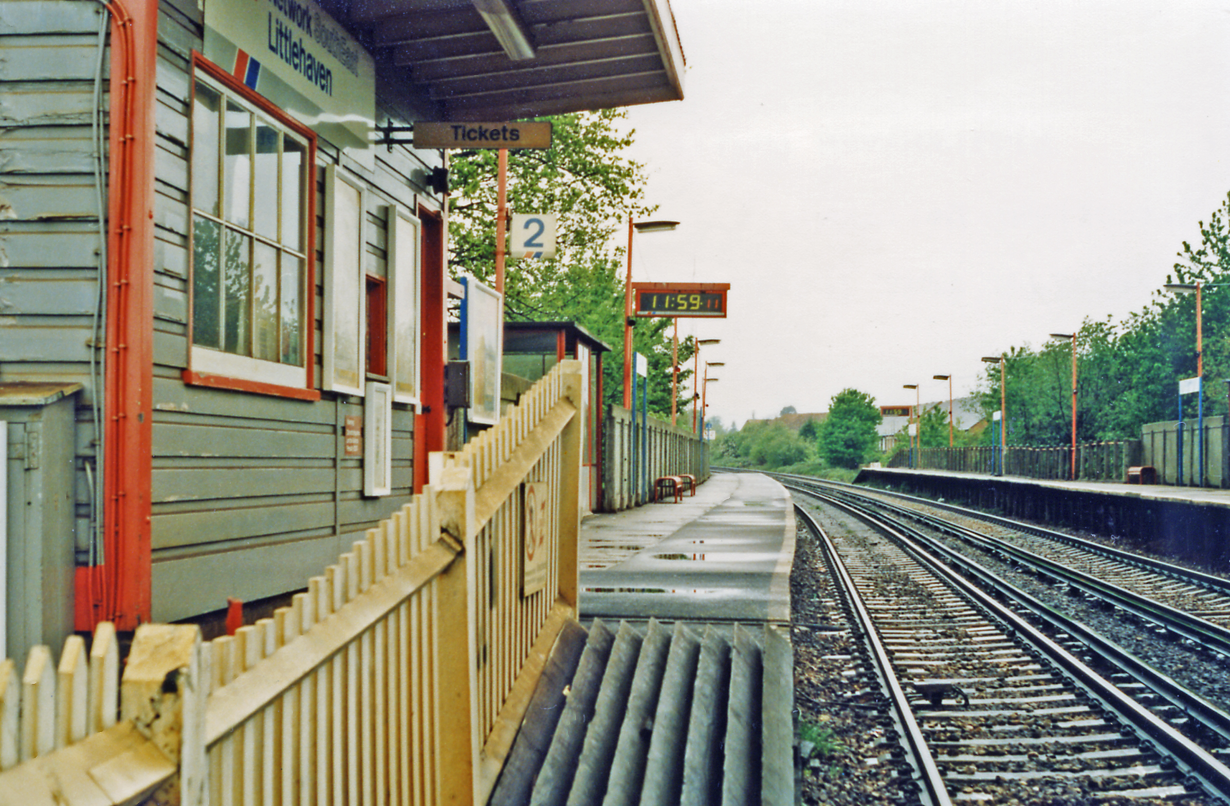
Warnham railway station
Warnham railway station serves the village of Warnham in West Sussex, England. It is 33 miles 46 chains (54.0 km) measured from London Waterloo (although...

Warnham SSSI
Warnham SSSI is a 28.5-hectare (70-acre) geological Site of Special Scientific Interest north of Horsham in West Sussex. It is a Geological Conservation...
Nearby Amenities
Located within 500m of 51.092937,-0.30947001Have you been to Holbrook?
Leave your review of Holbrook below (or comments, questions and feedback).