North Horsham
Civil Parish in Sussex Horsham
England
North Horsham
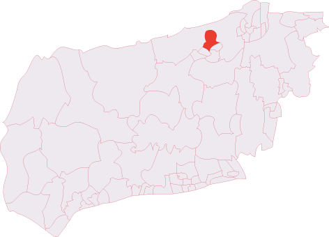
North Horsham is a civil parish located in the county of Sussex, England. Situated in the Horsham district, it covers an area of approximately 6.5 square miles. The parish is bordered by the civil parishes of Horsham, Rusper, and Colgate.
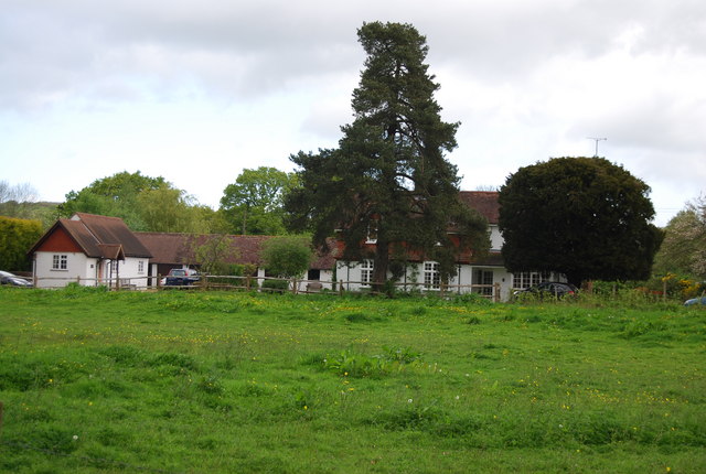
The area has a predominantly residential character, with a mix of housing types ranging from modern developments to more traditional properties. It is home to a diverse community, including families, professionals, and retirees. The population of North Horsham is estimated to be around 6,000 people.
North Horsham benefits from excellent transport links, with easy access to the A264 road, connecting it to nearby towns and cities such as Crawley and Horsham. The parish is also well-served by public transport, with regular bus services connecting it to surrounding areas.
The local amenities in North Horsham cater to the needs of its residents. There are several schools, both primary and secondary, providing education to the local children. The area also boasts a range of shops, supermarkets, and restaurants, ensuring that residents have access to all the essentials.
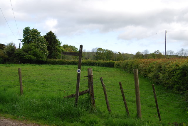
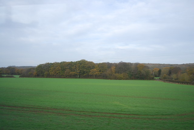
For those who enjoy outdoor activities, North Horsham offers plenty of green spaces and recreational facilities. There are several parks and nature reserves in the area, providing opportunities for walking, jogging, and picnicking. The nearby South Downs National Park offers stunning countryside views and is a popular destination for nature lovers.
Overall, North Horsham is a thriving and picturesque residential area, offering a high quality of life to its residents.
If you have any feedback on the listing, please let us know in the comments section below.
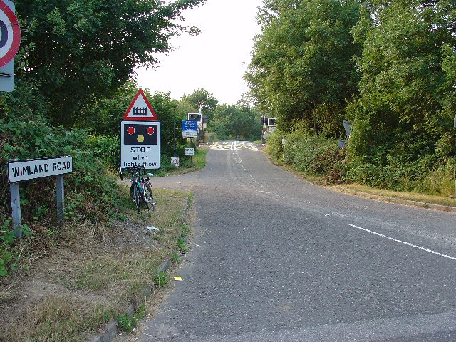
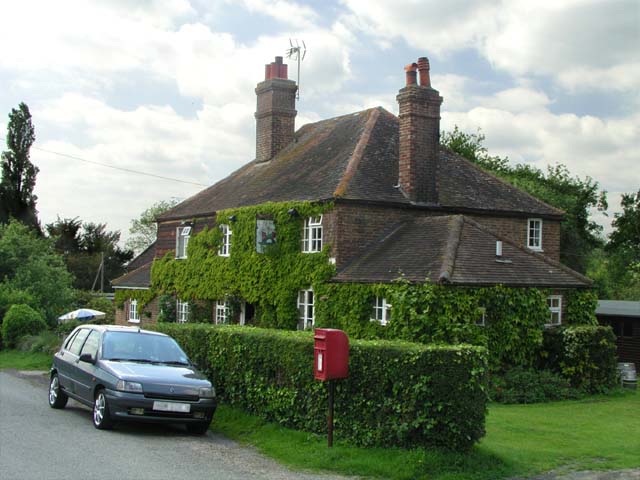
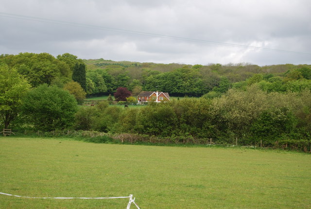
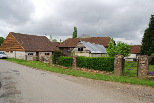
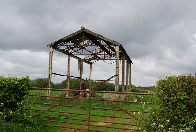
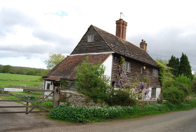
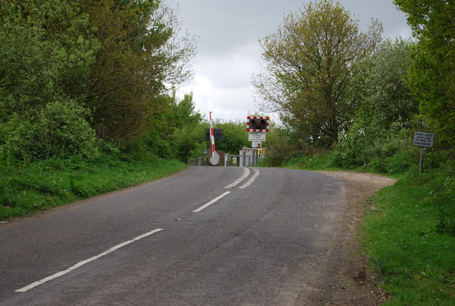
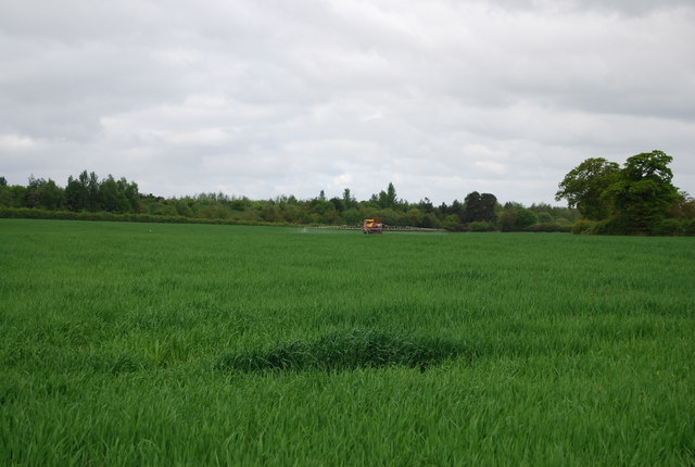
North Horsham Images
Images are sourced within 2km of 51.088692/-0.30751 or Grid Reference TQ1833. Thanks to Geograph Open Source API. All images are credited.


North Horsham is located at Grid Ref: TQ1833 (Lat: 51.088692, Lng: -0.30751)
Administrative County: West Sussex
District: Horsham
Police Authority: Sussex
What 3 Words
///spans.icebergs.last. Near Warnham, West Sussex
Nearby Locations
Related Wikis
Holbrook (electoral division)
Holbrook is an electoral division of West Sussex in the United Kingdom and returns one member to sit on West Sussex County Council. The current County...

Bohunt Horsham
Bohunt Horsham is a coeducational all-through school located in Horsham, West Sussex, England. The school opened to 120 students in Year 7 in 2019 in temporary...

Graylands
Graylands is a hamlet in the Horsham district of West Sussex, England. The largely rural hamlet is located north of Holbrook beyond the A264. It is bordered...

Old Holbrook
Old Holbrook (formerly known as Northlands) is a hamlet in the Horsham district of West Sussex, England. This rural hamlet is located north of the Horsham...
North Horsham
North Horsham is a civil parish in the district of Horsham in West Sussex, England, covering the northern part of the Horsham town area. According to...
Roffey F.C.
Roffey F.C. is an English football club located in Roffey, Horsham in West Sussex. The club are currently members of the Southern Combination Division...
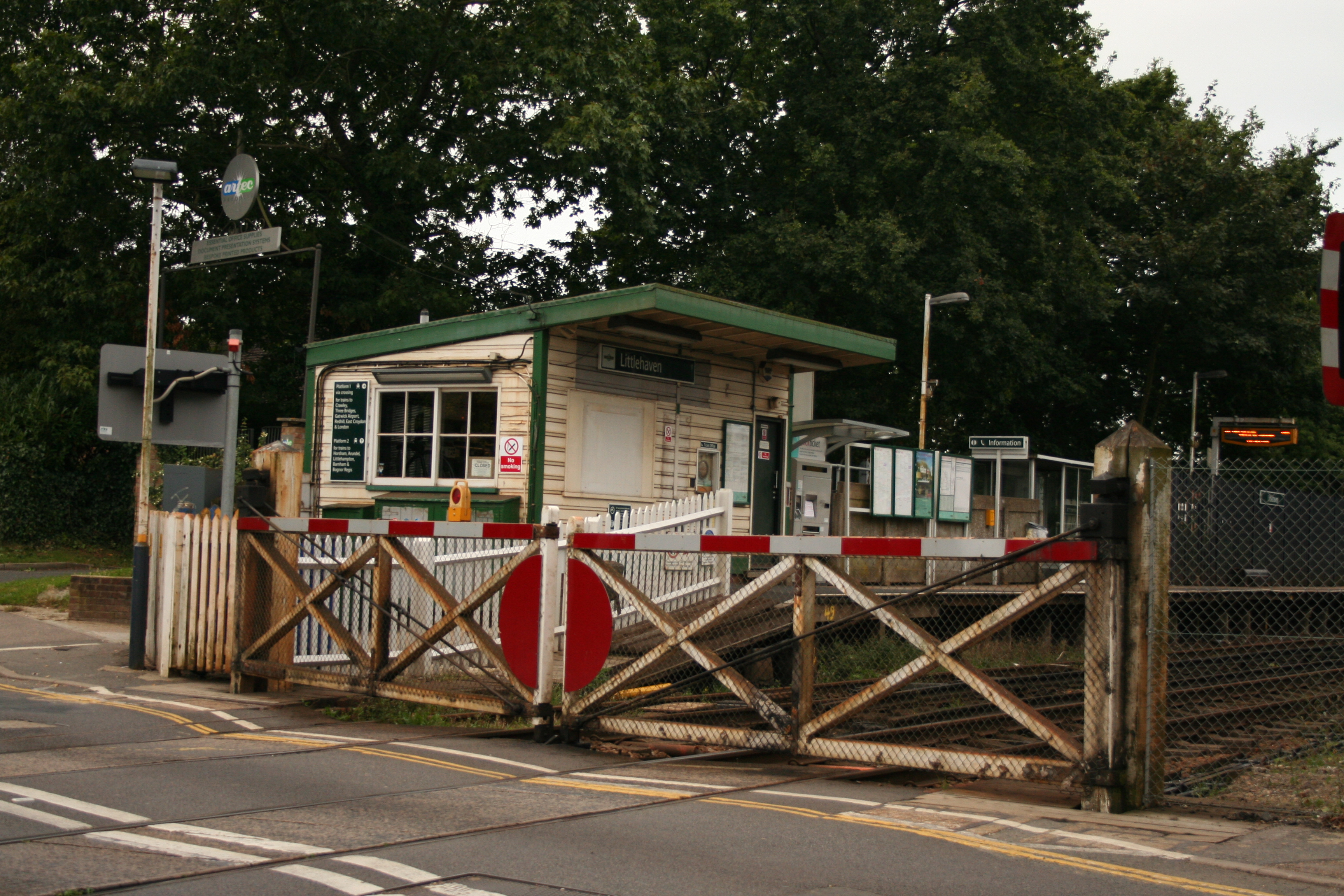
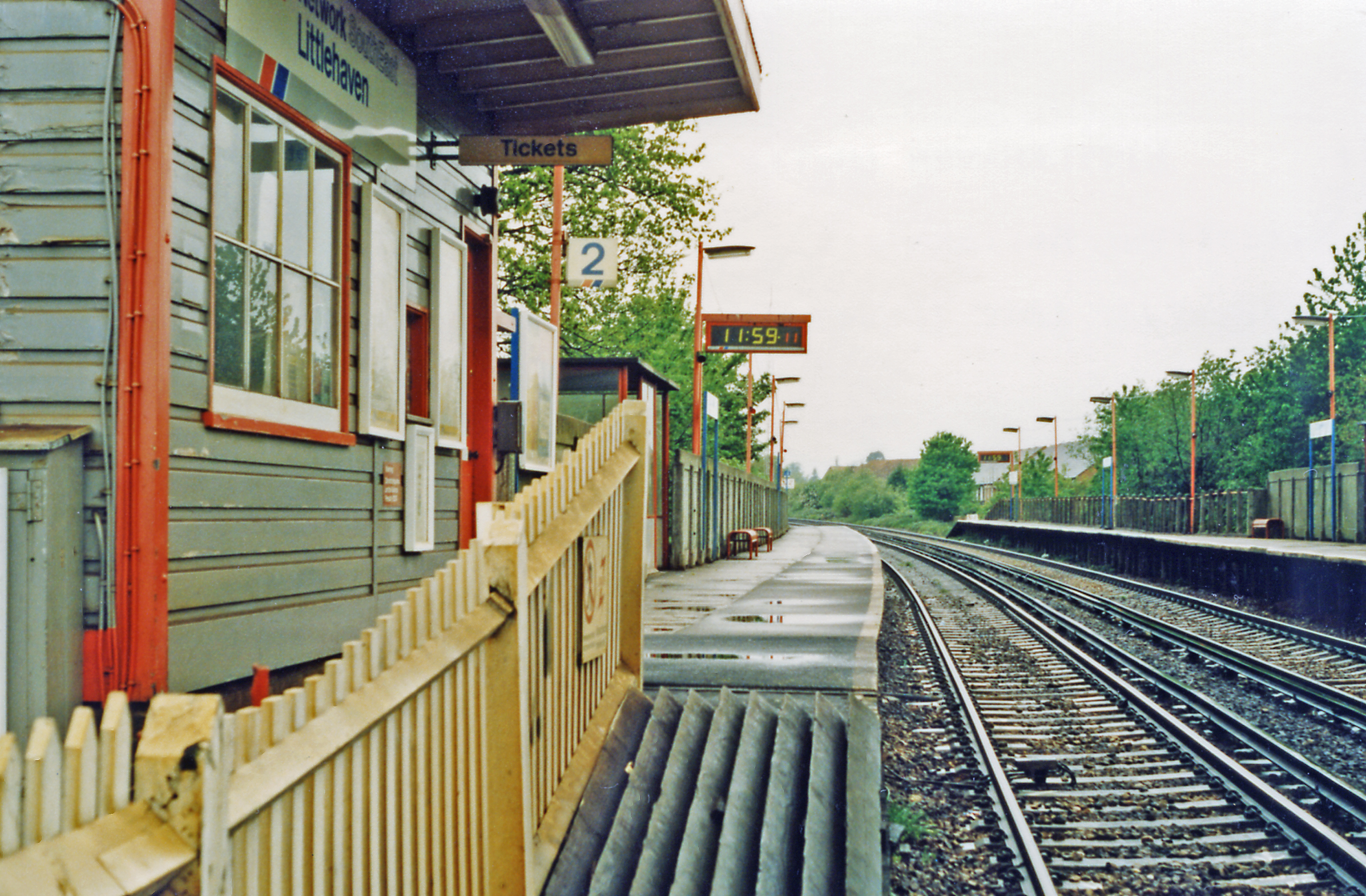
Littlehaven railway station
Littlehaven railway station serves the areas of Littlehaven, Holbrook and Roffey in the northeast of the town of Horsham, West Sussex, England. It is on...
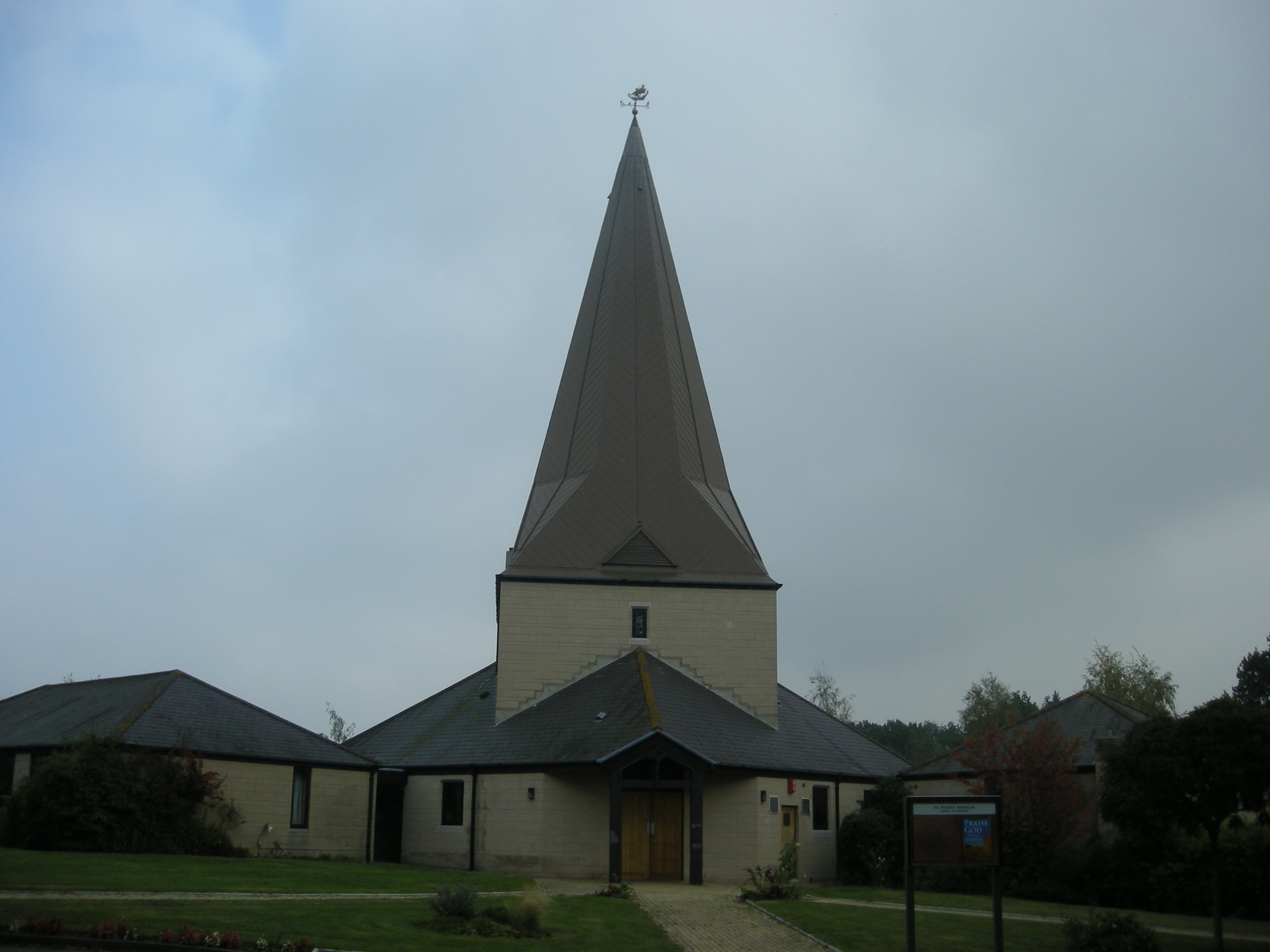
St Mark's Church, Horsham
St Mark's Church is an Anglican church situated on North Heath Lane in the newly created Parish and Benefice of Holbrook in the district of Horsham, West...
Nearby Amenities
Located within 500m of 51.088692,-0.30751Have you been to North Horsham?
Leave your review of North Horsham below (or comments, questions and feedback).