Holbear

Settlement in Somerset South Somerset

England

Holbear

Terrace of houses in Forton Road
Terrace of houses in Forton Road Credit: Vieve Forward

Holbear is a picturesque village situated in the county of Somerset, England. With its charming cottages, rolling hills, and tranquil atmosphere, it offers a serene retreat for residents and visitors alike.

The village is nestled in the heart of the Somerset Levels, a wetland area renowned for its natural beauty and wildlife. It is located approximately 10 miles south of the bustling town of Bridgwater and is easily accessible via the A361 road.

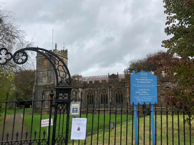
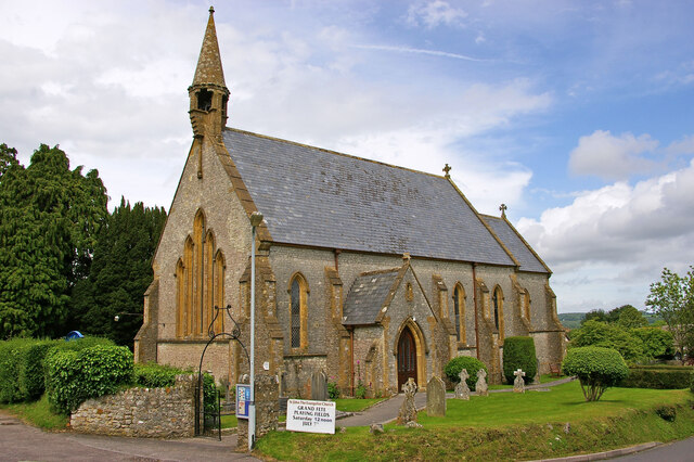
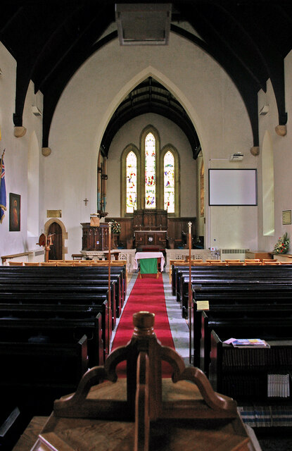
Holbear is home to a small but tight-knit community, where residents take pride in maintaining the village's character and preserving its heritage. The village church, St. Mary's, is a notable landmark, dating back to the 12th century and showcasing stunning architectural features.

Surrounded by lush countryside, Holbear provides ample opportunities for outdoor activities such as hiking, cycling, and birdwatching. The nearby Somerset Levels and Moors provide a haven for nature enthusiasts, with their diverse ecosystems and rare species of plants and animals.

Despite its rural setting, Holbear is conveniently located near essential amenities. The neighboring town of Bridgwater offers a range of shops, supermarkets, and services, ensuring residents have easy access to everyday necessities.

Overall, Holbear, Somerset is a charming village that offers a peaceful and idyllic lifestyle. Its natural beauty, friendly community, and proximity to amenities make it a highly desirable place to live or visit for those seeking a tranquil escape from the demands of modern life.

If you have any feedback on the listing, please let us know in the comments section below.
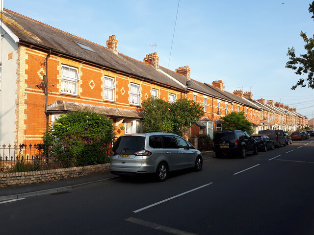
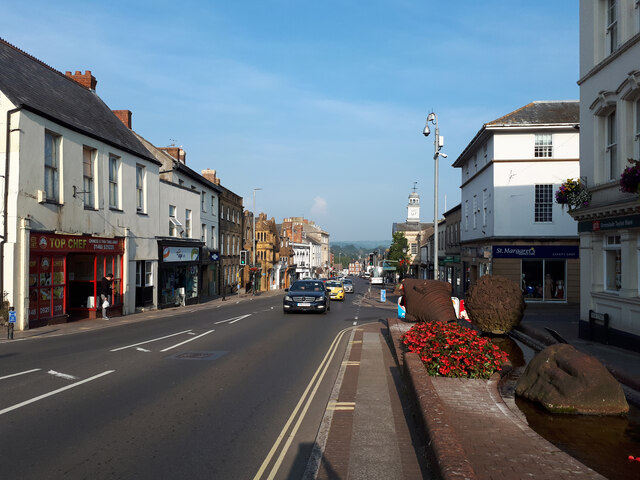
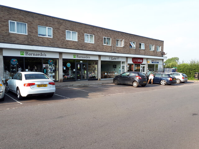
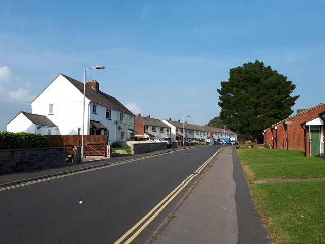
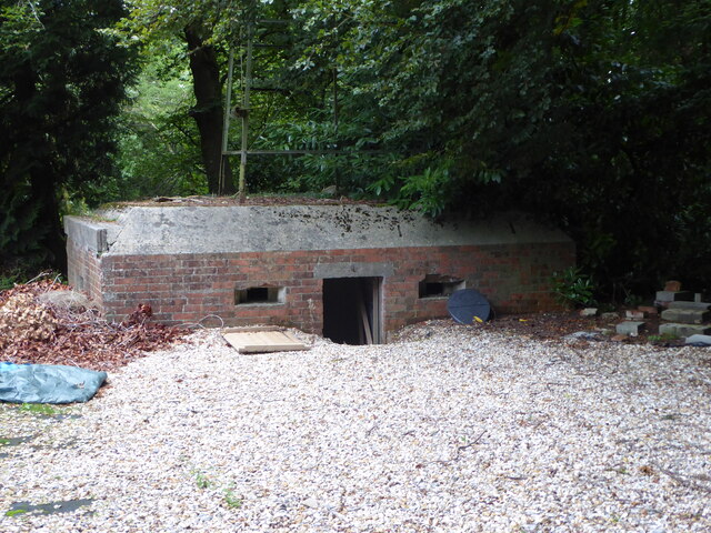
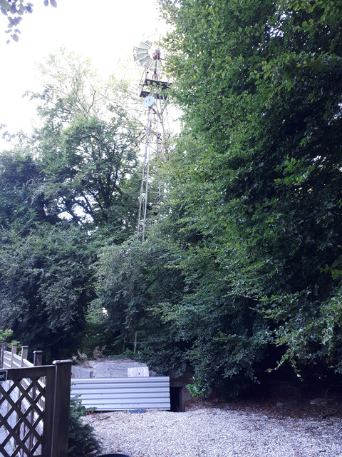
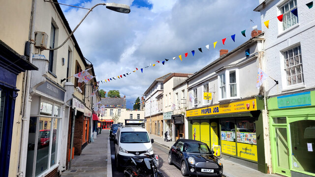
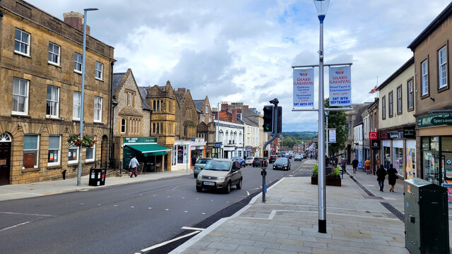
Holbear Images

Images are sourced within 2km of 50.864372/-2.9550695 or Grid Reference ST3207. Thanks to Geograph Open Source API. All images are credited.

Terrace of houses in Forton Road
Fore Street, Chard
Fore Street, Chard
Row of shops, Avishayes Road
Avishayes Road
Avishayes Road
Church of St Mary Parish church in Chard
Church of St Mary
Parish church in Chard
Bowden's Old Lace Factory This building was built in c1825. It was built as a lace factory. Lace making became a major industry in Chard from the 1820s onwards. This was in part due to riots and unrest in the traditional lace making towns such as Nottingham.
Bowden's Old Lace Factory
This building was built in c1825. It was built as a lace factory. Lace making became a major industry in Chard from the 1820s onwards. This was in part due to riots and unrest in the traditional lace making towns such as Nottingham.
Church of the Good Shepherd, Chard
Windpump on top of pillbox, Forton See also <a href="https://www.geograph.org.uk/photo/7254831">ST3407 : WWII pillbox, Forton, with windpump on top</a>.
Windpump on top of pillbox, Forton
WWII pillbox, Forton, with windpump on top See also <a href="https://www.geograph.org.uk/photo/7254829">ST3407 : Windpump on top of pillbox, Forton</a>.
WWII pillbox, Forton, with windpump on top
Windpump on top of pillbox, Forton
Holyrood Street, Chard Pictured on a Friday afternoon in September.
Holyrood Street, Chard
Pictured on a Friday afternoon in September.
Fore Street, Chard The wide main street of this market town.
Fore Street, Chard
The wide main street of this market town.
Fore Street, Chard Looking east.
Fore Street, Chard
Looking east.
Church of The Good Shepherd, Furnham, Chard
St John the Evangelist, Tatworth, Somerset
St. Mary The Virgin, Chard, Somerset
Show me another place!

Holbear is located at Grid Ref: ST3207 (Lat: 50.864372, Lng: -2.9550695)

Administrative County: Somerset

District: South Somerset

Police Authority: Avon and Somerset

What 3 Words

///universally.earphones.nappy. Near Chard, Somerset

Nearby Locations

Holbear

Related Wikis

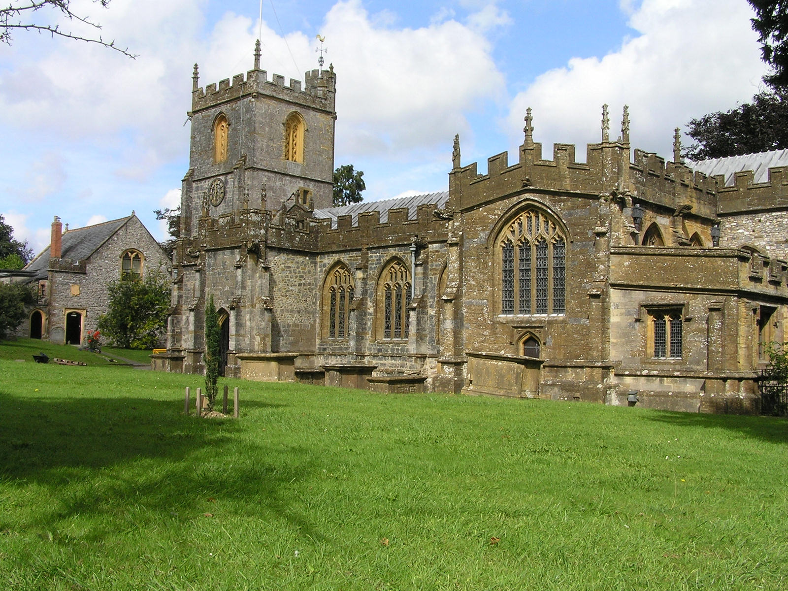
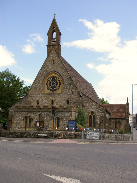
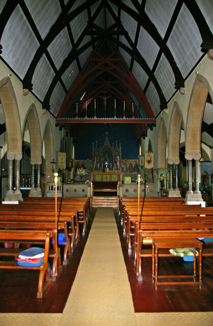
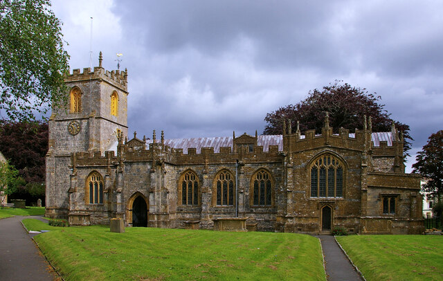
Church of St Mary the Virgin, Chard

The Anglican Church of St Mary the Virgin in Chard, Somerset, England dates from the late 11th century and was rebuilt in the 15th century. It has been...
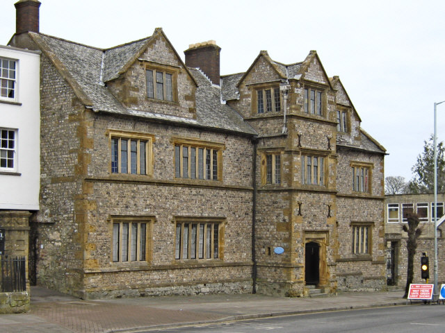
Chard Museum

Chard Museum is a small local museum in Chard, Somerset, England. It opened in 1970, in a converted 16th century listed building, with collections of exhibits...
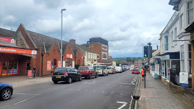
Chard, Somerset

Chard is a town and a civil parish in the English county of Somerset. It lies on the A30 road near the Devon and Dorset borders, 15 miles (24 km) south...

Chard Rural District

Chard was a rural district in Somerset, England, from 1894 to 1974. It was created in 1894 under the Local Government Act 1894. In 1974 it was abolished...

Chard School

Chard School is a coeducational private school for children ages 4 to 11 located in the town of Chard in the English county of Somerset. The school is...

Fore Street, Chard

Fore Street in Chard, Somerset, England was built in the late 16th and early 17th century, following a fire which destroyed much of the town in 1577.Fore...

The Guildhall, Chard

The Guildhall is a town hall and community building in the town of Chard in the English county of Somerset. == History == The Guildhall was built between...

Chard Town F.C.

Chard Town Football Club is a football club based in Chard, Somerset, England. Affiliated to the Somerset County FA, they are currently members of the...

Nearby Amenities

Located within 500m of 50.864372,-2.9550695
Post Box
Collection Times: Mo-Fr 16:30; Sa 11:30
Operator: Royal Mail
Operator Wikidata: Q638098
Post Box Type: wall
Ref: TA20 292
Royal Cypher: GVIR
Royal Cypher Wikidata: Q33102169
Lat/Long: 50.867432/-2.9585073
Power: pole
Lat/Long: 50.8618115/-2.9525301
Power: pole
Lat/Long: 50.8608583/-2.9519373
Generator Method: photovoltaic
Generator Output Electricity: yes
Generator Source: solar
Generator Type: solar_thermal_collector
Location: roof
Power: generator
Lat/Long: 50.866428/-2.9604964
Generator Method: photovoltaic
Generator Output Electricity: yes
Generator Source: solar
Generator Type: solar_thermal_collector
Location: roof
Power: generator
Lat/Long: 50.8662979/-2.9594451
Generator Method: photovoltaic
Generator Output Electricity: yes
Generator Source: solar
Generator Type: solar_thermal_collector
Location: roof
Power: generator
Lat/Long: 50.8642524/-2.9540246
Generator Method: photovoltaic
Generator Output Electricity: yes
Generator Source: solar
Generator Type: solar_thermal_collector
Location: roof
Power: generator
Lat/Long: 50.8652279/-2.9615955
Generator Method: photovoltaic
Generator Output Electricity: yes
Generator Source: solar
Generator Type: solar_thermal_collector
Location: roof
Power: generator
Lat/Long: 50.8628174/-2.956273
Generator Method: photovoltaic
Generator Output Electricity: yes
Generator Source: solar
Generator Type: solar_thermal_collector
Location: roof
Power: generator
Lat/Long: 50.8642894/-2.9529866
Generator Method: photovoltaic
Generator Output Electricity: yes
Generator Source: solar
Generator Type: solar_thermal_collector
Location: roof
Power: generator
Lat/Long: 50.866064/-2.961271
Generator Method: photovoltaic
Generator Output Electricity: yes
Generator Source: solar
Generator Type: solar_thermal_collector
Location: roof
Power: generator
Lat/Long: 50.8652651/-2.9616673
Generator Method: photovoltaic
Generator Output Electricity: yes
Generator Source: solar
Generator Type: solar_thermal_collector
Location: roof
Power: generator
Lat/Long: 50.8624815/-2.9563079
Generator Method: photovoltaic
Generator Output Electricity: yes
Generator Source: solar
Generator Type: solar_thermal_collector
Location: roof
Power: generator
Lat/Long: 50.8667231/-2.9603613
Generator Method: photovoltaic
Generator Output Electricity: yes
Generator Source: solar
Generator Type: solar_thermal_collector
Location: roof
Power: generator
Lat/Long: 50.8670625/-2.9566872
Generator Method: photovoltaic
Generator Output Electricity: yes
Generator Source: solar
Generator Type: solar_thermal_collector
Location: roof
Power: generator
Lat/Long: 50.8669905/-2.956675
Generator Method: photovoltaic
Generator Output Electricity: yes
Generator Source: solar
Generator Type: solar_thermal_collector
Location: roof
Power: generator
Lat/Long: 50.8634765/-2.9542534
Generator Method: photovoltaic
Generator Output Electricity: yes
Generator Source: solar
Generator Type: solar_thermal_collector
Location: roof
Power: generator
Lat/Long: 50.8670772/-2.9565907
Generator Method: photovoltaic
Generator Output Electricity: yes
Generator Source: solar
Generator Type: solar_thermal_collector
Location: roof
Power: generator
Lat/Long: 50.8656877/-2.9612718
Generator Method: photovoltaic
Generator Output Electricity: yes
Generator Source: solar
Generator Type: solar_thermal_collector
Location: roof
Power: generator
Lat/Long: 50.8624529/-2.9560932
Generator Method: photovoltaic
Generator Output Electricity: yes
Generator Source: solar
Generator Type: solar_thermal_collector
Location: roof
Power: generator
Lat/Long: 50.8657094/-2.961312
Generator Method: photovoltaic
Generator Output Electricity: yes
Generator Source: solar
Generator Type: solar_photovoltaic_panel
Location: roof
Power: generator
Lat/Long: 50.8667738/-2.958148
Power: pole
Source: bing
Lat/Long: 50.8625818/-2.9522699
Power: pole
Source: bing
Lat/Long: 50.8684822/-2.9551747
Power: pole
Source: bing
Lat/Long: 50.8677738/-2.955168
Power: pole
Source: bing
Lat/Long: 50.8670645/-2.9544505
Power: pole
Source: bing
Lat/Long: 50.8666329/-2.9539999
Power: pole
Source: bing
Lat/Long: 50.8660252/-2.9534058
Power: pole
Source: bing
Lat/Long: 50.865425/-2.952797
Power: pole
Source: bing
Lat/Long: 50.8648529/-2.9522203
Power: pole
Source: bing
Lat/Long: 50.8637398/-2.9486637
Power: pole
Source: bing
Lat/Long: 50.8640208/-2.9495434
Power: pole
Source: bing
Lat/Long: 50.8642603/-2.9503132
Power: pole
Source: bing
Lat/Long: 50.864571/-2.9513204
Power: pole
Source: bing
Lat/Long: 50.8633631/-2.9520419
Power: pole
Source: bing
Lat/Long: 50.8644643/-2.9517201
Power: pole
Source: bing
Lat/Long: 50.8651432/-2.9515256
Power: pole
Source: bing
Lat/Long: 50.8662046/-2.950497
Post Box
Operator: Royal Mail
Post Box Type: lamp
Ref: TA20 423D
Royal Cypher: EIIR
Royal Cypher Wikidata: Q33102113
Lat/Long: 50.8643509/-2.9548354
The data included in this document is from www.openstreetmap.org. The data is made available under ODbL.

Have you been to Holbear?

Leave your review of Holbear below (or comments, questions and feedback).