Holbeach St Matthew

Settlement in Lincolnshire South Holland

England

Holbeach St Matthew

Sugar beet crop near Hartley Farm
Sugar beet crop near Hartley Farm Credit: Jonathan Thacker

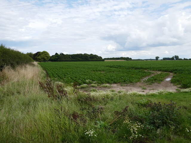
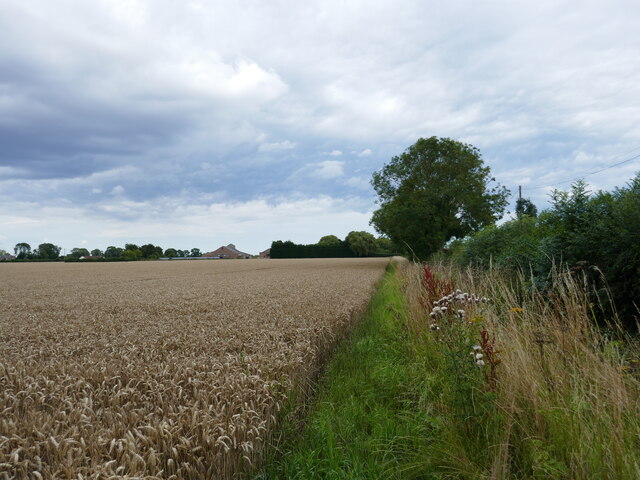
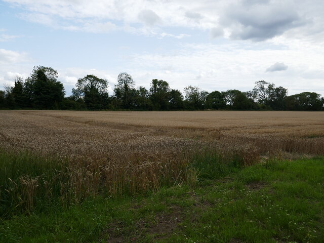
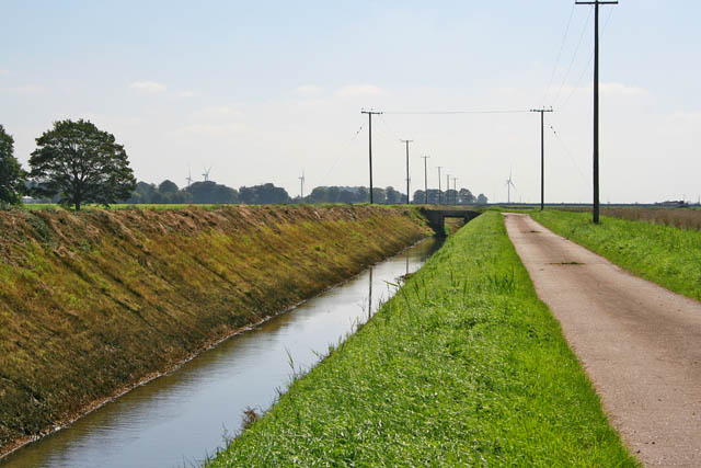
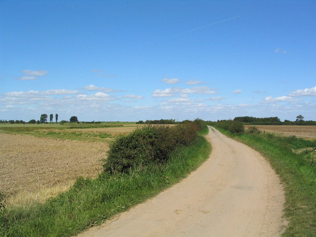
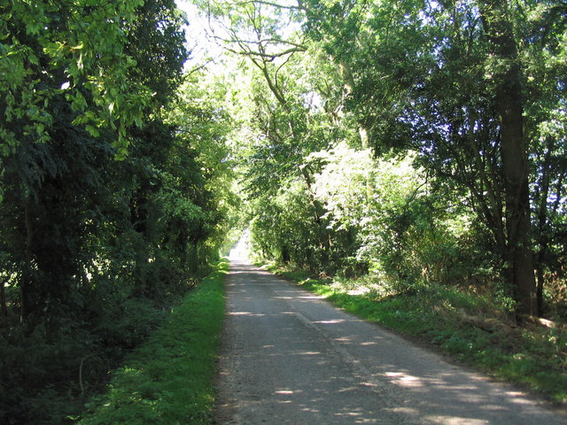
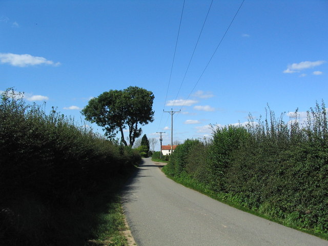
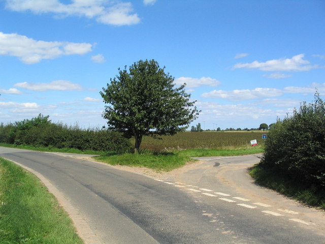
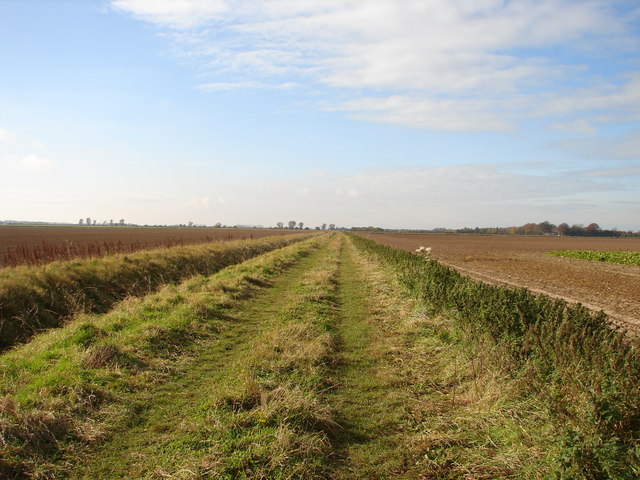
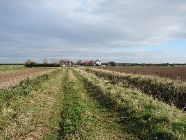
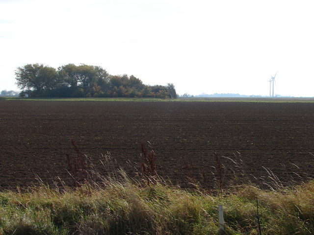
Holbeach St Matthew is a small village located in the county of Lincolnshire, England. It is situated near the town of Holbeach and has a population of around 600 residents. The village is known for its picturesque countryside surroundings, with rolling fields and charming cottages dotting the landscape.

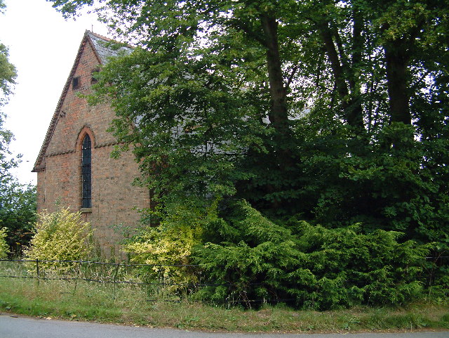
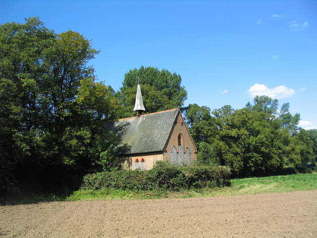
Holbeach St Matthew has a rich history, with evidence of human settlement dating back to the Roman era. The village is home to a historic church, St Matthew's Church, which dates back to the 13th century and is a prominent feature in the village's skyline.

The economy of Holbeach St Matthew is primarily agricultural, with many residents working in farming and related industries. The village has a close-knit community, with a village hall hosting various events and activities throughout the year.

Overall, Holbeach St Matthew is a peaceful and scenic village that offers a glimpse into rural English life. Its historic buildings, beautiful countryside, and strong sense of community make it a charming place to visit or live.

If you have any feedback on the listing, please let us know in the comments section below.

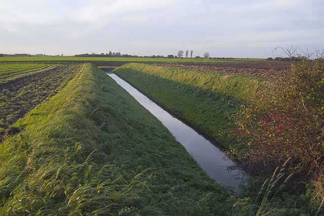
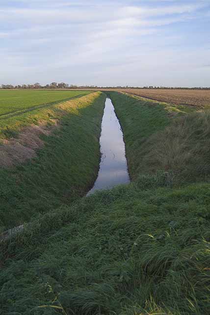
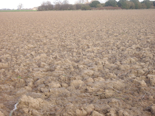
Holbeach St Matthew Images

Images are sourced within 2km of 52.864078/0.095516648 or Grid Reference TF4131. Thanks to Geograph Open Source API. All images are credited.

Sugar beet crop near Hartley Farm
Barley field, Holbeach St Matthew
The line of the Old Sea Bank, Holbeach St Matthew The land to the right was drained in 1793.
The line of the Old Sea Bank, Holbeach St Matthew
The land to the right was drained in 1793.
Holbeach St Matthew church No longer used and overgrown
Holbeach St Matthew church
No longer used and overgrown
T Junction A Few houses and not much else in this Sq mile
T Junction
A Few houses and not much else in this Sq mile
Drainage channel Looking west from Barge Road
Drainage channel
Looking west from Barge Road
Drainage channel Looking east from Barge Road
Drainage channel
Looking east from Barge Road
Ploughed Field, Red House Farm The earth in these parts appears fairly heavy.
Ploughed Field, Red House Farm
The earth in these parts appears fairly heavy.
Drain and farm track High flood bank on the seaward side. The present day sea bank is about 3 km to the northeast.
The wind farm at Gedney Marsh looks really close although it is several miles away.
Drain and farm track
High flood bank on the seaward side. The present day sea bank is about 3 km to the northeast. The wind farm at Gedney Marsh looks really close although it is several miles away.
Barge Road The road leads to a car park, and access to long bridleways and footpaths along the sea banks skirting The Wash
Barge Road
The road leads to a car park, and access to long bridleways and footpaths along the sea banks skirting The Wash
Road to Holbeach St Matthew
Redundant church, Holbeach St Matthews A sad sight, with the front and porch of the church almost completely overgrown by trees. The Church of England is offering the freehold for £120,000.
<span class="nowrap"><a title="http://www.cofe.anglican.org/about/diocesesparishes/rcsale/holbeachstmatthew.html" rel="nofollow ugc noopener" href="http://www.cofe.anglican.org/about/diocesesparishes/rcsale/holbeachstmatthew.html">Link</a><img style="margin-left:2px;" alt="External link" title="External link - shift click to open in new window" src="https://s1.geograph.org.uk/img/external.png" width="10" height="10"/></span>
Redundant church, Holbeach St Matthews
A sad sight, with the front and porch of the church almost completely overgrown by trees. The Church of England is offering the freehold for £120,000. LinkExternal link
Road past Sot's Hole A 'Sot's Hole' usually referred to a pub or other place used by drunkards.
Road past Sot's Hole
A 'Sot's Hole' usually referred to a pub or other place used by drunkards.
Road junction to Bemroses Farm The map shows the road to the left going to Ward's Farm, but the sign says Bemroses Farm.
Road junction to Bemroses Farm
The map shows the road to the left going to Ward's Farm, but the sign says Bemroses Farm.
Public Footpath near Sot's Hole If you could turn to the left, you would get a fine view of the Wind Farm!
Public Footpath near Sot's Hole
If you could turn to the left, you would get a fine view of the Wind Farm!
Public Footpath The houses in the background are home to some cute horses and ponies.
Public Footpath
The houses in the background are home to some cute horses and ponies.
Over the Fields Towards Cardwell House and Wind Farm The Wind Farm is in the distance to the right and Cardwell House is hidden behind the trees.
Over the Fields Towards Cardwell House and Wind Farm
The Wind Farm is in the distance to the right and Cardwell House is hidden behind the trees.
Show me another place!

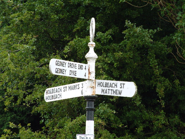
Holbeach St Matthew is located at Grid Ref: TF4131 (Lat: 52.864078, Lng: 0.095516648)

Division: Parts of Holland

Administrative County: Lincolnshire

District: South Holland

Police Authority: Lincolnshire

What 3 Words

///awkward.guru.distracts. Near Fleet, Lincolnshire

Nearby Locations

Holbeach St Matthew

Related Wikis

Holbeach St Matthew

Holbeach St Matthew is a small fenland village in the South Holland district of southern Lincolnshire, England. It lies 6 miles (10 km) north-east from...
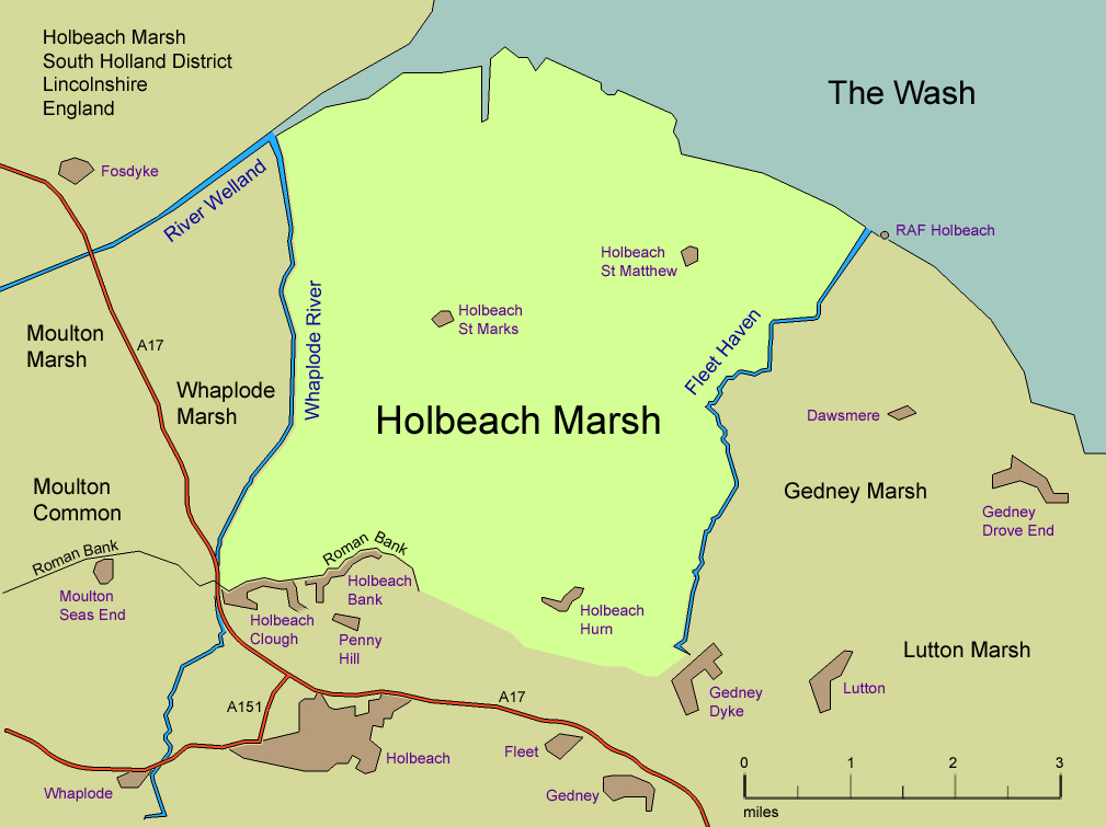
Holbeach Marsh

Holbeach Marsh is a fenland area in the South Holland district of Lincolnshire, England. Holbeach Marsh is situated between the market town of Holbeach...

Holbeach St Marks

Holbeach St Marks is a fenland village in the South Holland district of southern Lincolnshire, England. It is 5 miles (8 km) north from Holbeach, 3 miles...

Holbeach Hurn

Holbeach Hurn is a small fenland village in the civil parish of Holbeach in the South Holland district of southern Lincolnshire, England. It is 2.5 miles...

Nearby Amenities

Located within 500m of 52.864078,0.095516648
Bus Stop
Sots Hole
Naptan AtcoCode: 270000009637
Naptan Bearing: SE
Naptan CommonName: Sots Hole
Naptan Landmark: Sots Hole
Naptan NaptanCode: linjdmja
Naptan Street: Sot's Hole
Naptan Verified: no
Source: naptan_import
Lat/Long: 52.8620543/0.0985713
Holbeach St Matthew
Place: hamlet
Source: Bing
Wikidata: Q15059024
Lat/Long: 52.8675702/0.0951869
Chapel Cottage
Place: isolated_dwelling
Source: Bing
Lat/Long: 52.8621875/0.0986437
Keepers Cottage
Place: isolated_dwelling
Source: Bing
Lat/Long: 52.8639233/0.0948701
Saltmarsh House
Place: isolated_dwelling
Source: Bing
Lat/Long: 52.8650476/0.0977453
Sot's Hole
Place: locality
Source: Bing
Lat/Long: 52.8616747/0.0978759
Secretary's House
Addr City: Holbeach St Matthews
Addr Housename: Secretary's Cottage
Place: isolated_dwelling
Lat/Long: 52.862879/0.0936052
The data included in this document is from www.openstreetmap.org. The data is made available under ODbL.

Have you been to Holbeach St Matthew?

Leave your review of Holbeach St Matthew below (or comments, questions and feedback).