Hinksford

Settlement in Staffordshire South Staffordshire

England

Hinksford

Wonderful Life The view of the Canal mooring near Hinksford Wharf on the Staffordshire and Worcestershire canal.
Wonderful Life Credit: Gordon Griffiths

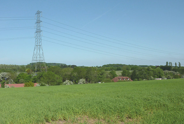
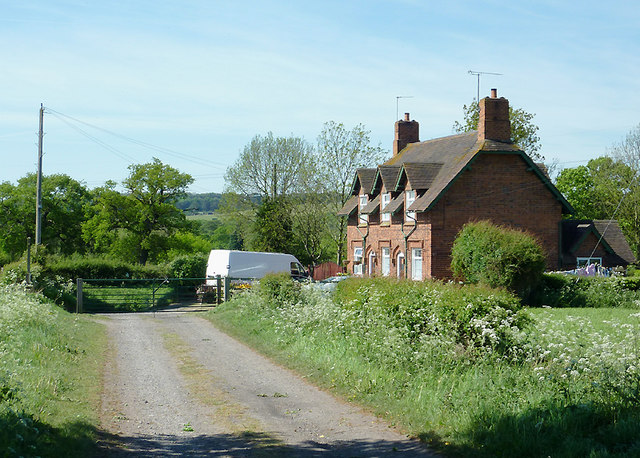
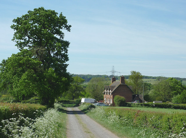
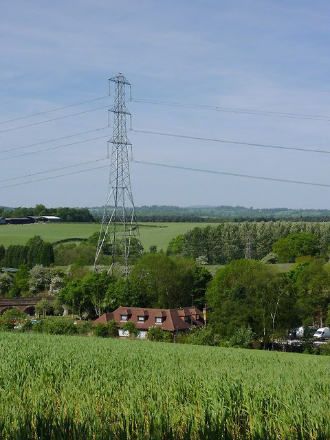
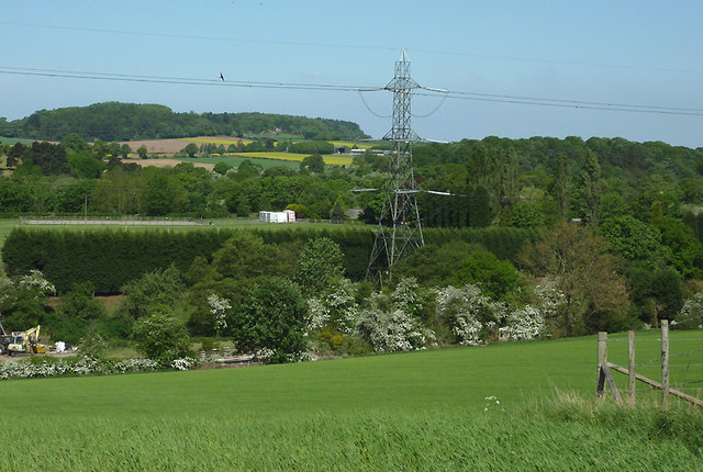
Hinksford is a small village located in the county of Staffordshire, England. Situated approximately 6 miles south-east of Wolverhampton, Hinksford is a rural settlement surrounded by beautiful countryside and green fields. It falls within the Dudley Metropolitan Borough Council area.

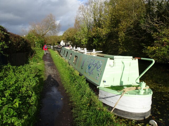
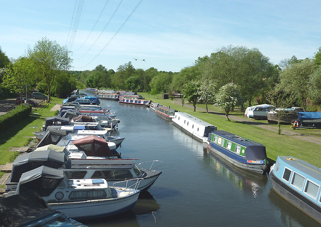
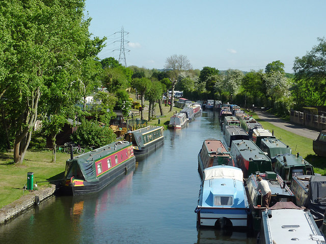
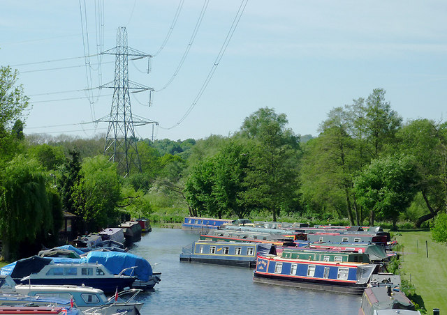
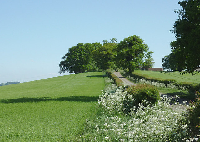
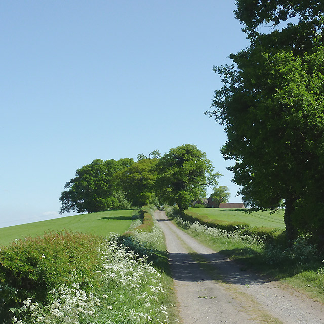
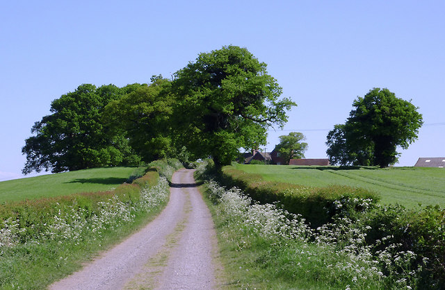
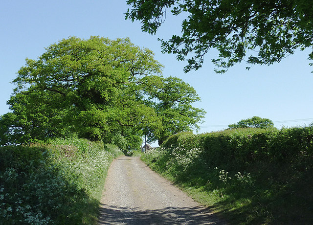
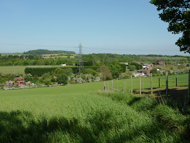
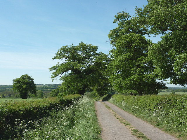
The village has a long history dating back to at least the 13th century, with evidence of early settlements and farming communities. Hinksford is known for its picturesque landscapes, with the meandering River Stour passing through the village, providing a tranquil setting for residents and visitors alike.

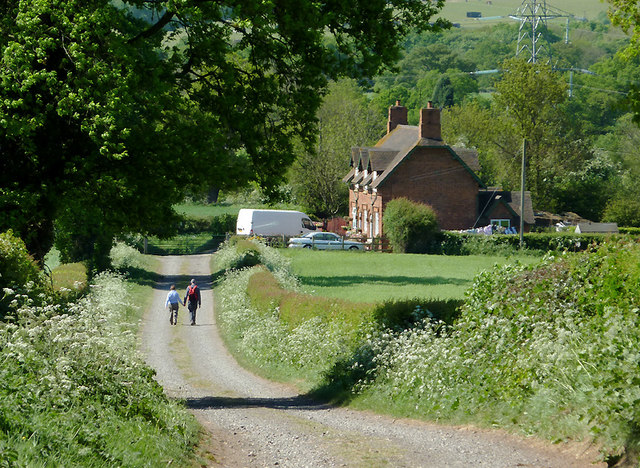
The village itself is small, with a population of around 500 people. It has a close-knit community atmosphere and a strong sense of local pride. Amenities in Hinksford are limited, with only a few essential services such as a village hall and a local pub, which serves as a hub for social gatherings and community events.

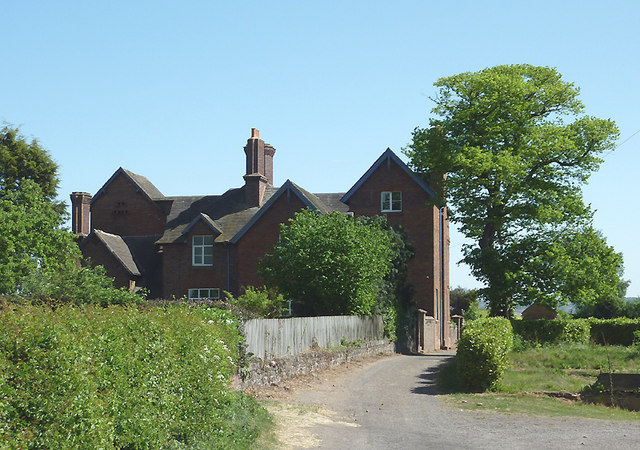
Hinksford is primarily a residential area, with a mix of traditional cottages and newer housing developments. The village is popular with families and those seeking a peaceful rural lifestyle, away from the hustle and bustle of larger towns and cities.

Despite its size, Hinksford benefits from its close proximity to nearby towns and transport links. Wolverhampton and Dudley are both easily accessible, providing residents with a range of amenities, entertainment options, and employment opportunities.

In summary, Hinksford is a charming village in Staffordshire, offering a quiet and picturesque setting for its residents. With its rich history and beautiful surroundings, it is a place where community spirit thrives and rural living is celebrated.

If you have any feedback on the listing, please let us know in the comments section below.

Hinksford Images

Images are sourced within 2km of 52.505824/-2.1969919 or Grid Reference SO8689. Thanks to Geograph Open Source API. All images are credited.

Wonderful Life The view of the Canal mooring near Hinksford Wharf on the Staffordshire and Worcestershire canal.
Wonderful Life
The view of the Canal mooring near Hinksford Wharf on the Staffordshire and Worcestershire canal.
Ashwood Marina near Kingswinford, Staffordshire Looking towards the Staffordshire and Worcestershire Canal.

The canal arm and basin were originally constructed to handle coal carrying narrow-boats from the railway which was built to connect with local collieries in 1827.
Ashwood Marina near Kingswinford, Staffordshire
Looking towards the Staffordshire and Worcestershire Canal. The canal arm and basin were originally constructed to handle coal carrying narrow-boats from the railway which was built to connect with local collieries in 1827.
Ashwood Marina near Kingswinford, Staffordshire The defunct "lostlabours.co.uk" webpage informs us that "In 1827 James Foster of 'John Bradley & Co', the Iron-masters from Stourbridge, and Lord Dudley, (The Fourth Viscount Dudley & Ward) agreed to build a railway from Ashwood Basin, on the Staffs & Worcs Canal, to Shut End on Pensnett Chase." The railway was more recently owned by the National Coal Board.

The basin, which extends well beyond the bend seen in the distance, is now an attractive marina for pleasure boats. <a href="https://www.geograph.org.uk/photo/657483">SO8688 : Viaduct across Ashwood Canal Basin, Staffordshire</a>
Ashwood Marina near Kingswinford, Staffordshire
The defunct "lostlabours.co.uk" webpage informs us that "In 1827 James Foster of 'John Bradley & Co', the Iron-masters from Stourbridge, and Lord Dudley, (The Fourth Viscount Dudley & Ward) agreed to build a railway from Ashwood Basin, on the Staffs & Worcs Canal, to Shut End on Pensnett Chase." The railway was more recently owned by the National Coal Board. The basin, which extends well beyond the bend seen in the distance, is now an attractive marina for pleasure boats. SO8688 : Viaduct across Ashwood Canal Basin, Staffordshire
Ashwood Marina near Kingswinford, Staffordshire This is a telephoto assisted image taken from Ashwood Lower Lane Bridge, looking towards the Staffordshire and Worcestershire Canal. The junction is just beyond the furthest blue narrowboat.

The defunct "lostlabours.co.uk" webpage informs us that "In 1827 James Foster of 'John Bradley & Co', the Iron-masters from Stourbridge, and Lord Dudley, (The Fourth Viscount Dudley & Ward) agreed to build a railway from Ashwood Basin, on the Staffs & Worcs Canal, to Shut End on Pensnett Chase." The railway was more recently owned by the National Coal Board.

The basin is now an attractive marina for pleasure boats.
Ashwood Marina near Kingswinford, Staffordshire
This is a telephoto assisted image taken from Ashwood Lower Lane Bridge, looking towards the Staffordshire and Worcestershire Canal. The junction is just beyond the furthest blue narrowboat. The defunct "lostlabours.co.uk" webpage informs us that "In 1827 James Foster of 'John Bradley & Co', the Iron-masters from Stourbridge, and Lord Dudley, (The Fourth Viscount Dudley & Ward) agreed to build a railway from Ashwood Basin, on the Staffs & Worcs Canal, to Shut End on Pensnett Chase." The railway was more recently owned by the National Coal Board. The basin is now an attractive marina for pleasure boats.
Farmland near Ashwood, Staffordshire Looking across the Wom and Smestow valleys. The canal arm, formerly a coal wharf, crosses the scene hidden in the dip by the pylon beyond this crop field. The water is now used as a marina for narrowboats and other pleasure craft.
Farmland near Ashwood, Staffordshire
Looking across the Wom and Smestow valleys. The canal arm, formerly a coal wharf, crosses the scene hidden in the dip by the pylon beyond this crop field. The water is now used as a marina for narrowboats and other pleasure craft.
Farmland near Ashwood, Staffordshire The bridleway leads from Ashwood to the A449 Kidderminster Road, then continues as Lodge Lane to Kingswinford. The terrain slopes left to the Wom and Smestow valleys.
Farmland near Ashwood, Staffordshire
The bridleway leads from Ashwood to the A449 Kidderminster Road, then continues as Lodge Lane to Kingswinford. The terrain slopes left to the Wom and Smestow valleys.
Bridleway towards Kingswinford, Staffordshire The bridleway leads between fields from Ashwood to the A449 Kidderminster Road, then continues as the surfaced Lodge Lane to Kingswinford. The terrain slopes left to the Smestow Valley.
Bridleway towards Kingswinford, Staffordshire
The bridleway leads between fields from Ashwood to the A449 Kidderminster Road, then continues as the surfaced Lodge Lane to Kingswinford. The terrain slopes left to the Smestow Valley.
Bridleway towards Kingswinford, Staffordshire The bridleway leads between fields from Ashwood to the A449 Kidderminster Road, then continues as the surfaced Lodge Lane to Kingswinford. Buildings at Ashwood Lodge Farm can be seen on the right behind the trees. The terrain slopes left to the Wom and Smestow valleys.
Bridleway towards Kingswinford, Staffordshire
The bridleway leads between fields from Ashwood to the A449 Kidderminster Road, then continues as the surfaced Lodge Lane to Kingswinford. Buildings at Ashwood Lodge Farm can be seen on the right behind the trees. The terrain slopes left to the Wom and Smestow valleys.
Bridleway to Ashwood, Staffordshire The bridleway has led between fields from the A449 Kidderminster Road, and meeting Doctor's Lane here.
Bridleway to Ashwood, Staffordshire
The bridleway has led between fields from the A449 Kidderminster Road, and meeting Doctor's Lane here.
Bridleway to Ashwood, Staffordshire The bridleway has led between fields from the A449 Kidderminster Road, and meeting Doctor's Lane by the cottages.
Bridleway to Ashwood, Staffordshire
The bridleway has led between fields from the A449 Kidderminster Road, and meeting Doctor's Lane by the cottages.
Bridleway towards Kingswinford, Staffordshire The bridleway leads between fields from Ashwood to the A449 Kidderminster Road, then continues as the surfaced Lodge Lane to Kingswinford. Buildings at Ashwood Lodge Farm can be seen on the right behind the trees.
Bridleway towards Kingswinford, Staffordshire
The bridleway leads between fields from Ashwood to the A449 Kidderminster Road, then continues as the surfaced Lodge Lane to Kingswinford. Buildings at Ashwood Lodge Farm can be seen on the right behind the trees.
Farmland near Ashwood, Staffordshire Looking across the Wom and Smestow valleys. The former coal wharf/canal arm crosses the scene, hidden in the dip beyond this crop field, by the electricity pylon. It is now a marina for pleasure boats.
Farmland near Ashwood, Staffordshire
Looking across the Wom and Smestow valleys. The former coal wharf/canal arm crosses the scene, hidden in the dip beyond this crop field, by the electricity pylon. It is now a marina for pleasure boats.
Farmland near Ashwood, Staffordshire This is a telephoto assisted view across the farm land of the wide Smestow Valley. Ashwood Marina is hidden in the dip this side of the electricity pylon. Narrowboats are just visible on the left on the short (about 500 metres) canal arm, formerly used as a coal wharf. The actual Staffordshire and Worcestershire Canal crosses the view by the line of trees beyond the pylon.
Farmland near Ashwood, Staffordshire
This is a telephoto assisted view across the farm land of the wide Smestow Valley. Ashwood Marina is hidden in the dip this side of the electricity pylon. Narrowboats are just visible on the left on the short (about 500 metres) canal arm, formerly used as a coal wharf. The actual Staffordshire and Worcestershire Canal crosses the view by the line of trees beyond the pylon.
Farmland near Ashwood, Staffordshire Looking towards Greens forge, this is a telephoto assisted view across the wide Smestow valley. Between the blossom covered hawthorns and the electricity pylon, the Wom Brook drifts leftwards towards its confluence with the Smestow River. Also, a 500 metre arm of canal which was originally a busy coal wharf terminates near the pylon. The water is now used as a marina for narrowboats and other pleasure craft. A buzzard soars near the power wires.
Farmland near Ashwood, Staffordshire
Looking towards Greens forge, this is a telephoto assisted view across the wide Smestow valley. Between the blossom covered hawthorns and the electricity pylon, the Wom Brook drifts leftwards towards its confluence with the Smestow River. Also, a 500 metre arm of canal which was originally a busy coal wharf terminates near the pylon. The water is now used as a marina for narrowboats and other pleasure craft. A buzzard soars near the power wires.
Bridleway to Ashwood, Staffordshire The bridleway has led between fields from the A449 Kidderminster Road, and meeting Doctor's Lane by the cottages. This telephoto assisted image was taken from near Ashwood Lodge.
Bridleway to Ashwood, Staffordshire
The bridleway has led between fields from the A449 Kidderminster Road, and meeting Doctor's Lane by the cottages. This telephoto assisted image was taken from near Ashwood Lodge.
Bridleway and Ashwood Lodge, Staffordshire The bridleway leads from Ashwood to the A449 Kidderminster Road, then Lodge Lane continues the route to Kinswinford. Ashwood Lodge is an extensive Victorian building which is being renovated.
Bridleway and Ashwood Lodge, Staffordshire
The bridleway leads from Ashwood to the A449 Kidderminster Road, then Lodge Lane continues the route to Kinswinford. Ashwood Lodge is an extensive Victorian building which is being renovated.
Bridleway to Ashwood, Staffordshire The bridleway has led between fields from the A449 Kidderminster Road, and meets Doctor's Lane by the cottages at Ashwood in the Smestow Valley.
Bridleway to Ashwood, Staffordshire
The bridleway has led between fields from the A449 Kidderminster Road, and meets Doctor's Lane by the cottages at Ashwood in the Smestow Valley.
Chimney stacks on Ashwood Lodge near Kingswinford, Staffordshire Ashwood Lodge is a large Victorian brick building situated on the bridleway between Kingswinford and Ashwood. These chimneys no longer have pots on the top, though others on the building do.
<a href="https://www.geograph.org.uk/photo/2397741">SO8688 : Bridleway and Ashwood Lodge, Staffordshire</a>
<a href="https://www.geograph.org.uk/photo/2397354">SO8688 : Bridleway and Ashwood Lodge, Staffordshire</a>
Chimney stacks on Ashwood Lodge near Kingswinford, Staffordshire
Ashwood Lodge is a large Victorian brick building situated on the bridleway between Kingswinford and Ashwood. These chimneys no longer have pots on the top, though others on the building do. SO8688 : Bridleway and Ashwood Lodge, Staffordshire SO8688 : Bridleway and Ashwood Lodge, Staffordshire
Show me another place!

Hinksford is located at Grid Ref: SO8689 (Lat: 52.505824, Lng: -2.1969919)

Administrative County: Staffordshire

District: South Staffordshire

Police Authority: Staffordshire

What 3 Words

///sweat.bucked.tables. Near Kingswinford, West Midlands

Nearby Locations

Hinksford Greenforge Rough

Related Wikis

Swindon, Staffordshire

Swindon is a village and civil parish located in the West Midlands. The nearest major town is Dudley, approximately five miles eastwards. It stands halfway...

Wall Heath

Wall Heath is a suburban village in the Dudley Metropolitan Borough in the West Midlands of England. It is located on the A449 road, approximately 1.5...

Greensforge

Greensforge is a scattered hamlet on the boundary of Kinver and Swindon parishes, in South Staffordshire, England. It is noted for its Roman associations...

Himley railway station

Himley was a station on the Wombourne Branch Line. Unlike other stops along the route, it was deemed worthy of full station status. It was opened by the...

Summerhill School, Kingswinford

Summerhill School is a mixed community secondary school located in Kingswinford, West Midlands, England. == History == The school was built by Brierley...

Himley

Himley is a small village and civil parish in Staffordshire, England, 4 miles (6.4 km) west of Dudley and 5 mi (8.0 km) southwest of Wolverhampton. At...

Ashwood, Staffordshire

Ashwood is a small area of Staffordshire, England. It is situated in the South Staffordshire district, approximately two miles west of the West Midlands...

Holbeche House

Holbeche House (also, in some texts, Holbeach or Holbeache) is a mansion located approximately 1 mile (1.6 km) north of Kingswinford, now in the Metropolitan...

Nearby Amenities

Located within 500m of 52.505824,-2.1969919
Hinksford
Created By: Potlatch 0.5d
Is In: Staffordshire
Place: hamlet
Lat/Long: 52.5064874/-2.1996461
Bus Stop
Enville Rd / Swindon Rd
Bus: yes
Naptan AtcoCode: 43000894601
Naptan Bearing: SW
Naptan BusStopType: MKD
Naptan CommonName: Swindon Rd
Naptan Indicator: before
Naptan NaptanCode: nwmtdmat
Naptan Status: ACT
Naptan StopType: BCT
Naptan Street: ENVILLE RD
Naptan Towards: Wombourne
Naptan Verified: no
Public Transport: platform
Route Ref: 255
Source: WMCA
Lat/Long: 52.5036875/-2.1911533
Bus Stop
Enville Rd / Swindon Rd
Bus: yes
Naptan AtcoCode: 43000894602
Naptan Bearing: NE
Naptan BusStopType: MKD
Naptan CommonName: Swindon Rd
Naptan Indicator: after
Naptan NaptanCode: nwmtdmaw
Naptan Status: ACT
Naptan StopType: BCT
Naptan Street: ENVILLE RD
Naptan Towards: Kingswinford
Naptan Verified: no
Public Transport: platform
Route Ref: 255
Source: WMCA
Lat/Long: 52.5036872/-2.1913449
Bus Stop
Hinksford View
Bus: yes
Naptan AtcoCode: 3800C621701
Naptan Bearing: SE
Naptan CommonName: Hinksford View
Naptan Indicator: Adj
Naptan Street: Hinksford Lane
Naptan Verified: no
Public Transport: platform
Source: naptan_import
Lat/Long: 52.5096301/-2.1983303
Bus Stop
Old Bush Inn PH
Bus: yes
Naptan AtcoCode: 3800C641201
Naptan Bearing: SE
Naptan CommonName: Old Bush Inn PH
Naptan Indicator: Opp
Naptan Landmark: Old Bush Inn PH
Naptan Street: Swindon Road
Naptan Verified: no
Public Transport: platform
Source: naptan_import
Lat/Long: 52.5050804/-2.1954987
Bus Stop
Old Bush Inn PH
Bus: yes
Naptan AtcoCode: 3800C641202
Naptan Bearing: NW
Naptan CommonName: Old Bush Inn PH
Naptan Indicator: Adj
Naptan Landmark: Old Bush PH
Naptan Street: Hinksford Lane
Naptan Verified: no
Public Transport: platform
Source: naptan_import
Lat/Long: 52.5059178/-2.1971578
Power: tower
Source: OS 1:25k
Lat/Long: 52.5070585/-2.1942589
Power: tower
Source: OS 1:25k
Lat/Long: 52.5094031/-2.1952509
Power: tower
Lat/Long: 52.5062645/-2.1944083
Power: tower
Source: bing
Lat/Long: 52.5058687/-2.1948997
Power: tower
Source: bing
Lat/Long: 52.5071225/-2.1947955
Power: tower
Lat/Long: 52.5059563/-2.1941998
Power: tower
Source: bing
Lat/Long: 52.5016836/-2.1968453
Power: tower
Lat/Long: 52.5091967/-2.1956827
Power: tower
Source: bing
Lat/Long: 52.5080776/-2.1957322
Power: tower
Source: bing
Lat/Long: 52.5040376/-2.1964001
Hinksfor Wharf
Source: survey
Lat/Long: 52.5065659/-2.1976245
Man Made: pipeline_marker
Source: visual survey; bing
Lat/Long: 52.5067479/-2.197355
Seamark Type: gate
Waterway: lock_gate
Lat/Long: 52.5090361/-2.2005224
Seamark Type: gate
Waterway: lock_gate
Lat/Long: 52.5090567/-2.2001673
Barrier: stile
Source: survey
Lat/Long: 52.5091169/-2.2001386
Power: tower
Source: bing
Lat/Long: 52.5062331/-2.1939191
Power: tower
Source: bing
Lat/Long: 52.5078232/-2.1914306
Generator Method: photovoltaic
Generator Output Electricity: yes
Generator Source: solar
Generator Type: solar_photovoltaic_panel
Location: roof
Power: generator
Lat/Long: 52.5036428/-2.190595
Power: pole
Source: bing
Lat/Long: 52.5082353/-2.2008249
Power: pole
Source: bing
Lat/Long: 52.507899/-2.2002026
Power: pole
Source: bing
Lat/Long: 52.5075627/-2.1996233
Power: pole
Source: bing
Lat/Long: 52.5071431/-2.1988481
Power: pole
Source: bing
Lat/Long: 52.5065946/-2.1983519
Power: pole
Ref: 734411
Source: wpd_opendata
Transformer: distribution
Lat/Long: 52.5061571/-2.1980113
Power: pole
Source: bing
Lat/Long: 52.501997/-2.193414
Power: pole
Ref: 734409
Source: wpd_opendata
Transformer: distribution
Lat/Long: 52.5026174/-2.1930948
Power: pole
Source: bing
Lat/Long: 52.5035661/-2.1931914
Power: transformer
Source: bing
Lat/Long: 52.5059105/-2.1935669
Power: transformer
Source: bing
Lat/Long: 52.5054077/-2.194908
Barrier: stile
Bicycle: no
Foot: yes
Horse: no
Motor Vehicle: no
Lat/Long: 52.5081426/-2.1939977
Barrier: stile
Foot: yes
Motor Vehicle: no
Lat/Long: 52.5088632/-2.193832
The data included in this document is from www.openstreetmap.org. The data is made available under ODbL.

Have you been to Hinksford?

Leave your review of Hinksford below (or comments, questions and feedback).