Greenforge Rough

Wood, Forest in Staffordshire South Staffordshire

England

Greenforge Rough

Ashwood Marina near Kingswinford, Staffordshire Looking towards the Staffordshire and Worcestershire Canal.

The canal arm and basin were originally constructed to handle coal carrying narrow-boats from the railway which was built to connect with local collieries in 1827.
Ashwood Marina near Kingswinford, Staffordshire Credit: Roger D Kidd

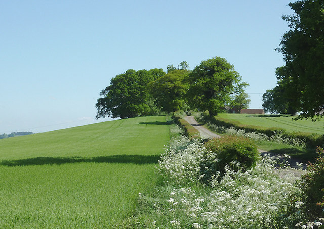
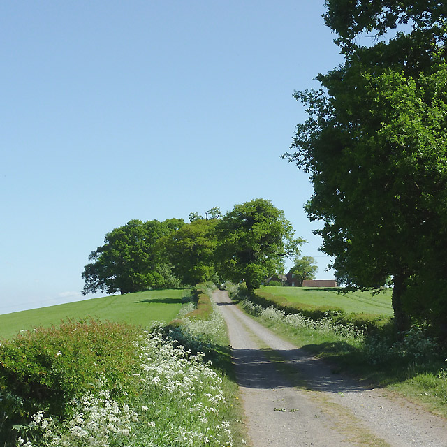
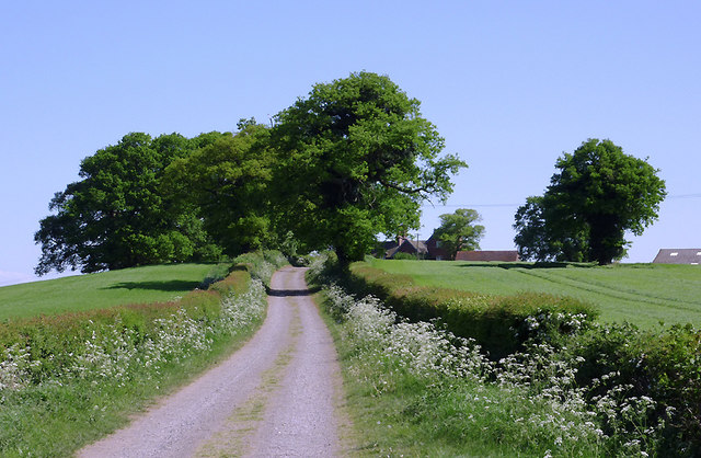
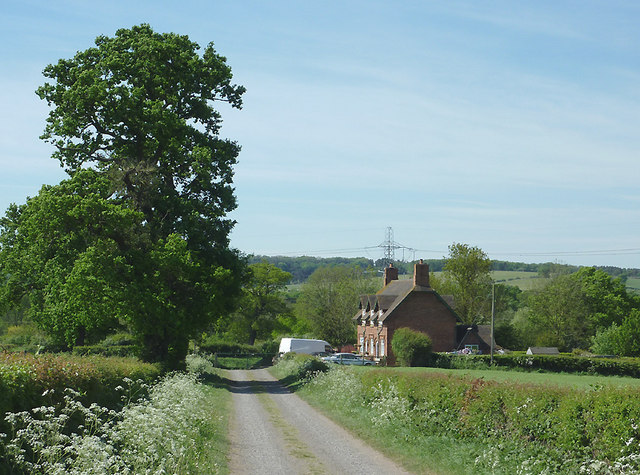
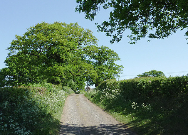
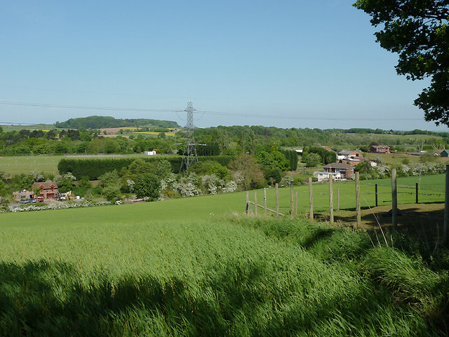
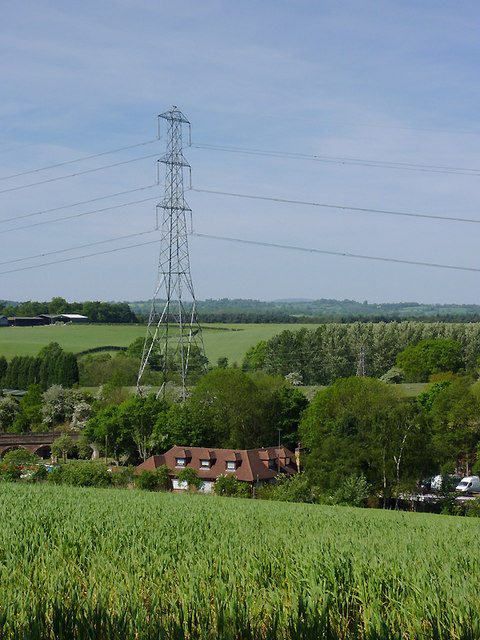
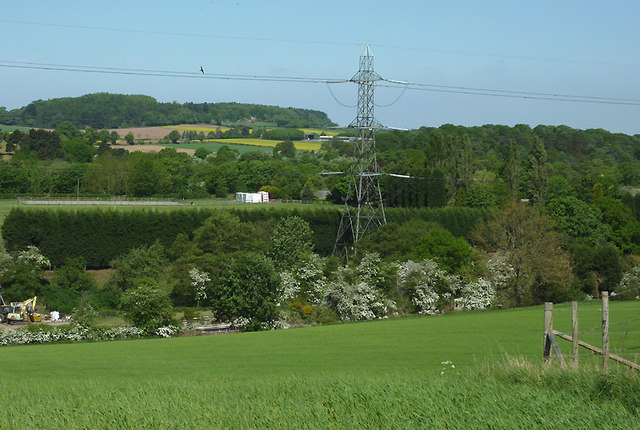
Greenforge Rough is a woodland area located in Staffordshire, England. Covering an approximate area of 100 acres, it is situated in the rural countryside, surrounded by rolling hills and picturesque landscapes. The woodland is known for its lush greenery, dense trees, and diverse flora and fauna.

Greenforge Rough is primarily composed of deciduous trees, including oak, beech, and birch, which contribute to the rich biodiversity of the area. The forest floor is covered with a variety of wildflowers, ferns, and mosses, creating a vibrant and colorful undergrowth.

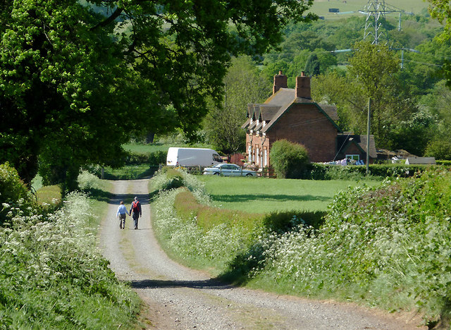
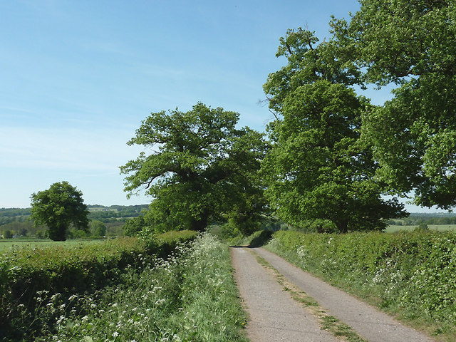
The woodland is a popular destination for nature enthusiasts and outdoor enthusiasts alike. It offers a range of recreational activities such as hiking, birdwatching, and nature photography. There are several well-maintained trails that meander through the forest, providing visitors with an opportunity to explore its beauty and tranquility.

The forest is also home to a wide array of wildlife. It serves as a habitat for various bird species, including woodpeckers, owls, and thrushes. Additionally, mammals such as deer, foxes, and rabbits can be spotted in the area, making it a haven for wildlife enthusiasts.

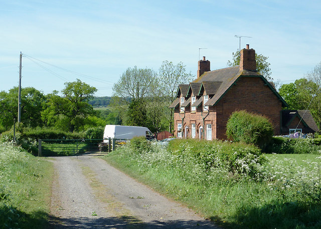
Greenforge Rough is a protected area, managed by local authorities to preserve its natural beauty and ecological significance. The woodland plays an essential role in maintaining the local ecosystem, providing a sanctuary for wildlife and contributing to the overall environmental health of the region.

Overall, Greenforge Rough is an idyllic woodland retreat, offering visitors a chance to immerse themselves in nature and experience the serenity of the Staffordshire countryside.

If you have any feedback on the listing, please let us know in the comments section below.

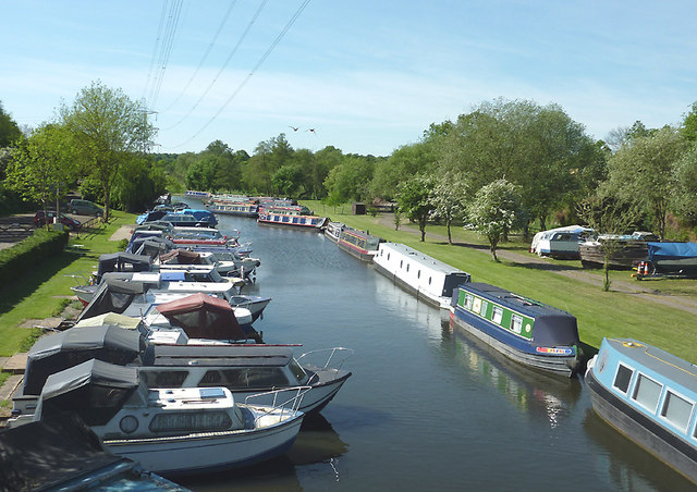
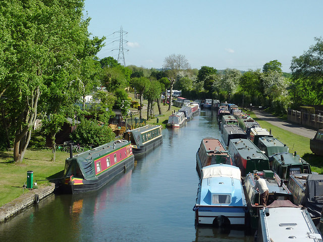
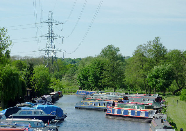
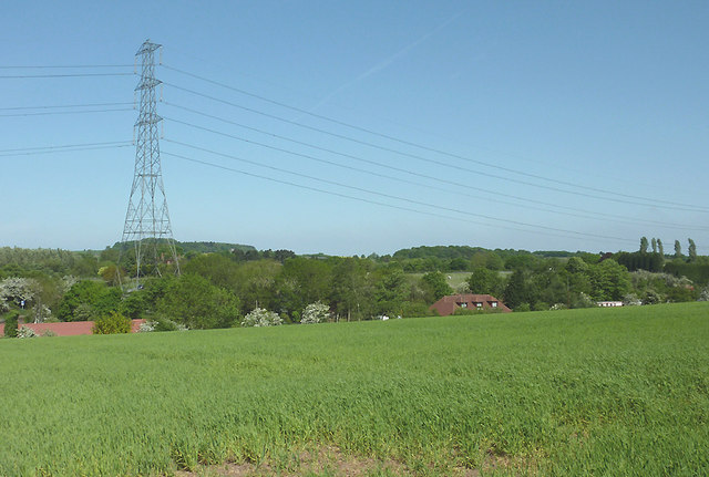
Greenforge Rough Images

Images are sourced within 2km of 52.503626/-2.2046869 or Grid Reference SO8689. Thanks to Geograph Open Source API. All images are credited.

Ashwood Marina near Kingswinford, Staffordshire Looking towards the Staffordshire and Worcestershire Canal.

The canal arm and basin were originally constructed to handle coal carrying narrow-boats from the railway which was built to connect with local collieries in 1827.
Ashwood Marina near Kingswinford, Staffordshire
Looking towards the Staffordshire and Worcestershire Canal. The canal arm and basin were originally constructed to handle coal carrying narrow-boats from the railway which was built to connect with local collieries in 1827.
Ashwood Marina near Kingswinford, Staffordshire The defunct "lostlabours.co.uk" webpage informs us that "In 1827 James Foster of 'John Bradley & Co', the Iron-masters from Stourbridge, and Lord Dudley, (The Fourth Viscount Dudley & Ward) agreed to build a railway from Ashwood Basin, on the Staffs & Worcs Canal, to Shut End on Pensnett Chase." The railway was more recently owned by the National Coal Board.

The basin, which extends well beyond the bend seen in the distance, is now an attractive marina for pleasure boats. <a href="https://www.geograph.org.uk/photo/657483">SO8688 : Viaduct across Ashwood Canal Basin, Staffordshire</a>
Ashwood Marina near Kingswinford, Staffordshire
The defunct "lostlabours.co.uk" webpage informs us that "In 1827 James Foster of 'John Bradley & Co', the Iron-masters from Stourbridge, and Lord Dudley, (The Fourth Viscount Dudley & Ward) agreed to build a railway from Ashwood Basin, on the Staffs & Worcs Canal, to Shut End on Pensnett Chase." The railway was more recently owned by the National Coal Board. The basin, which extends well beyond the bend seen in the distance, is now an attractive marina for pleasure boats. SO8688 : Viaduct across Ashwood Canal Basin, Staffordshire
Ashwood Marina near Kingswinford, Staffordshire This is a telephoto assisted image taken from Ashwood Lower Lane Bridge, looking towards the Staffordshire and Worcestershire Canal. The junction is just beyond the furthest blue narrowboat.

The defunct "lostlabours.co.uk" webpage informs us that "In 1827 James Foster of 'John Bradley & Co', the Iron-masters from Stourbridge, and Lord Dudley, (The Fourth Viscount Dudley & Ward) agreed to build a railway from Ashwood Basin, on the Staffs & Worcs Canal, to Shut End on Pensnett Chase." The railway was more recently owned by the National Coal Board.

The basin is now an attractive marina for pleasure boats.
Ashwood Marina near Kingswinford, Staffordshire
This is a telephoto assisted image taken from Ashwood Lower Lane Bridge, looking towards the Staffordshire and Worcestershire Canal. The junction is just beyond the furthest blue narrowboat. The defunct "lostlabours.co.uk" webpage informs us that "In 1827 James Foster of 'John Bradley & Co', the Iron-masters from Stourbridge, and Lord Dudley, (The Fourth Viscount Dudley & Ward) agreed to build a railway from Ashwood Basin, on the Staffs & Worcs Canal, to Shut End on Pensnett Chase." The railway was more recently owned by the National Coal Board. The basin is now an attractive marina for pleasure boats.
Farmland near Ashwood, Staffordshire Looking across the Wom and Smestow valleys. The canal arm, formerly a coal wharf, crosses the scene hidden in the dip by the pylon beyond this crop field. The water is now used as a marina for narrowboats and other pleasure craft.
Farmland near Ashwood, Staffordshire
Looking across the Wom and Smestow valleys. The canal arm, formerly a coal wharf, crosses the scene hidden in the dip by the pylon beyond this crop field. The water is now used as a marina for narrowboats and other pleasure craft.
Farmland near Ashwood, Staffordshire The bridleway leads from Ashwood to the A449 Kidderminster Road, then continues as Lodge Lane to Kingswinford. The terrain slopes left to the Wom and Smestow valleys.
Farmland near Ashwood, Staffordshire
The bridleway leads from Ashwood to the A449 Kidderminster Road, then continues as Lodge Lane to Kingswinford. The terrain slopes left to the Wom and Smestow valleys.
Bridleway towards Kingswinford, Staffordshire The bridleway leads between fields from Ashwood to the A449 Kidderminster Road, then continues as the surfaced Lodge Lane to Kingswinford. The terrain slopes left to the Smestow Valley.
Bridleway towards Kingswinford, Staffordshire
The bridleway leads between fields from Ashwood to the A449 Kidderminster Road, then continues as the surfaced Lodge Lane to Kingswinford. The terrain slopes left to the Smestow Valley.
Bridleway towards Kingswinford, Staffordshire The bridleway leads between fields from Ashwood to the A449 Kidderminster Road, then continues as the surfaced Lodge Lane to Kingswinford. Buildings at Ashwood Lodge Farm can be seen on the right behind the trees. The terrain slopes left to the Wom and Smestow valleys.
Bridleway towards Kingswinford, Staffordshire
The bridleway leads between fields from Ashwood to the A449 Kidderminster Road, then continues as the surfaced Lodge Lane to Kingswinford. Buildings at Ashwood Lodge Farm can be seen on the right behind the trees. The terrain slopes left to the Wom and Smestow valleys.
Bridleway to Ashwood, Staffordshire The bridleway has led between fields from the A449 Kidderminster Road, and meeting Doctor's Lane here.
Bridleway to Ashwood, Staffordshire
The bridleway has led between fields from the A449 Kidderminster Road, and meeting Doctor's Lane here.
Bridleway to Ashwood, Staffordshire The bridleway has led between fields from the A449 Kidderminster Road, and meeting Doctor's Lane by the cottages.
Bridleway to Ashwood, Staffordshire
The bridleway has led between fields from the A449 Kidderminster Road, and meeting Doctor's Lane by the cottages.
Bridleway towards Kingswinford, Staffordshire The bridleway leads between fields from Ashwood to the A449 Kidderminster Road, then continues as the surfaced Lodge Lane to Kingswinford. Buildings at Ashwood Lodge Farm can be seen on the right behind the trees.
Bridleway towards Kingswinford, Staffordshire
The bridleway leads between fields from Ashwood to the A449 Kidderminster Road, then continues as the surfaced Lodge Lane to Kingswinford. Buildings at Ashwood Lodge Farm can be seen on the right behind the trees.
Farmland near Ashwood, Staffordshire Looking across the Wom and Smestow valleys. The former coal wharf/canal arm crosses the scene, hidden in the dip beyond this crop field, by the electricity pylon. It is now a marina for pleasure boats.
Farmland near Ashwood, Staffordshire
Looking across the Wom and Smestow valleys. The former coal wharf/canal arm crosses the scene, hidden in the dip beyond this crop field, by the electricity pylon. It is now a marina for pleasure boats.
Farmland near Ashwood, Staffordshire This is a telephoto assisted view across the farm land of the wide Smestow Valley. Ashwood Marina is hidden in the dip this side of the electricity pylon. Narrowboats are just visible on the left on the short (about 500 metres) canal arm, formerly used as a coal wharf. The actual Staffordshire and Worcestershire Canal crosses the view by the line of trees beyond the pylon.
Farmland near Ashwood, Staffordshire
This is a telephoto assisted view across the farm land of the wide Smestow Valley. Ashwood Marina is hidden in the dip this side of the electricity pylon. Narrowboats are just visible on the left on the short (about 500 metres) canal arm, formerly used as a coal wharf. The actual Staffordshire and Worcestershire Canal crosses the view by the line of trees beyond the pylon.
Farmland near Ashwood, Staffordshire Looking towards Greens forge, this is a telephoto assisted view across the wide Smestow valley. Between the blossom covered hawthorns and the electricity pylon, the Wom Brook drifts leftwards towards its confluence with the Smestow River. Also, a 500 metre arm of canal which was originally a busy coal wharf terminates near the pylon. The water is now used as a marina for narrowboats and other pleasure craft. A buzzard soars near the power wires.
Farmland near Ashwood, Staffordshire
Looking towards Greens forge, this is a telephoto assisted view across the wide Smestow valley. Between the blossom covered hawthorns and the electricity pylon, the Wom Brook drifts leftwards towards its confluence with the Smestow River. Also, a 500 metre arm of canal which was originally a busy coal wharf terminates near the pylon. The water is now used as a marina for narrowboats and other pleasure craft. A buzzard soars near the power wires.
Bridleway to Ashwood, Staffordshire The bridleway has led between fields from the A449 Kidderminster Road, and meeting Doctor's Lane by the cottages. This telephoto assisted image was taken from near Ashwood Lodge.
Bridleway to Ashwood, Staffordshire
The bridleway has led between fields from the A449 Kidderminster Road, and meeting Doctor's Lane by the cottages. This telephoto assisted image was taken from near Ashwood Lodge.
Bridleway and Ashwood Lodge, Staffordshire The bridleway leads from Ashwood to the A449 Kidderminster Road, then Lodge Lane continues the route to Kinswinford. Ashwood Lodge is an extensive Victorian building which is being renovated.
Bridleway and Ashwood Lodge, Staffordshire
The bridleway leads from Ashwood to the A449 Kidderminster Road, then Lodge Lane continues the route to Kinswinford. Ashwood Lodge is an extensive Victorian building which is being renovated.
Bridleway to Ashwood, Staffordshire The bridleway has led between fields from the A449 Kidderminster Road, and meets Doctor's Lane by the cottages at Ashwood in the Smestow Valley.
Bridleway to Ashwood, Staffordshire
The bridleway has led between fields from the A449 Kidderminster Road, and meets Doctor's Lane by the cottages at Ashwood in the Smestow Valley.
Chimney stacks on Ashwood Lodge near Kingswinford, Staffordshire Ashwood Lodge is a large Victorian brick building situated on the bridleway between Kingswinford and Ashwood. These chimneys no longer have pots on the top, though others on the building do.
<a href="https://www.geograph.org.uk/photo/2397741">SO8688 : Bridleway and Ashwood Lodge, Staffordshire</a>
<a href="https://www.geograph.org.uk/photo/2397354">SO8688 : Bridleway and Ashwood Lodge, Staffordshire</a>
Chimney stacks on Ashwood Lodge near Kingswinford, Staffordshire
Ashwood Lodge is a large Victorian brick building situated on the bridleway between Kingswinford and Ashwood. These chimneys no longer have pots on the top, though others on the building do. SO8688 : Bridleway and Ashwood Lodge, Staffordshire SO8688 : Bridleway and Ashwood Lodge, Staffordshire
Bridleway and Ashwood Lodge, Staffordshire The bridleway leads to Doctor's Lane at Ashwood, from the A449 Kidderminster Road. Ashwood Lodge is an extensive Victorian building which is being renovated.
Bridleway and Ashwood Lodge, Staffordshire
The bridleway leads to Doctor's Lane at Ashwood, from the A449 Kidderminster Road. Ashwood Lodge is an extensive Victorian building which is being renovated.
Show me another place!

Greenforge Rough is located at Grid Ref: SO8689 (Lat: 52.503626, Lng: -2.2046869)

Administrative County: Staffordshire

District: South Staffordshire

Police Authority: Staffordshire

What 3 Words

///every.palm.rungs. Near Kingswinford, West Midlands

Nearby Locations

Hinksford Greenforge Rough

Related Wikis

Greensforge

Greensforge is a scattered hamlet on the boundary of Kinver and Swindon parishes, in South Staffordshire, England. It is noted for its Roman associations...

Swindon, Staffordshire

Swindon is a village and civil parish located in the district of South Staffordshire, in the county of Staffordshire, England. It is 6 miles (6 km) west...

Ashwood, Staffordshire

Ashwood is a small area of Staffordshire, England. It is situated in the South Staffordshire district, approximately two miles west of the West Midlands...

Wall Heath

Wall Heath is a suburban village in the Dudley Metropolitan Borough in the West Midlands of England. It is located on the A449 road, approximately 1.5...

Nearby Amenities

Located within 500m of 52.503626,-2.2046869
Hinksford
Created By: Potlatch 0.5d
Is In: Staffordshire
Place: hamlet
Lat/Long: 52.5064874/-2.1996461
Marker: pedestal
Operator: Esso
Ref: Km 212.6
Utility: oil
Lat/Long: 52.5003706/-2.2037567
The data included in this document is from www.openstreetmap.org. The data is made available under ODbL.

Have you been to Greenforge Rough?

Leave your review of Greenforge Rough below (or comments, questions and feedback).