Hilltop

Settlement in Derbyshire High Peak

England

Hilltop

B5470 near Cockyard
B5470 near Cockyard Credit: Philip Cornwall

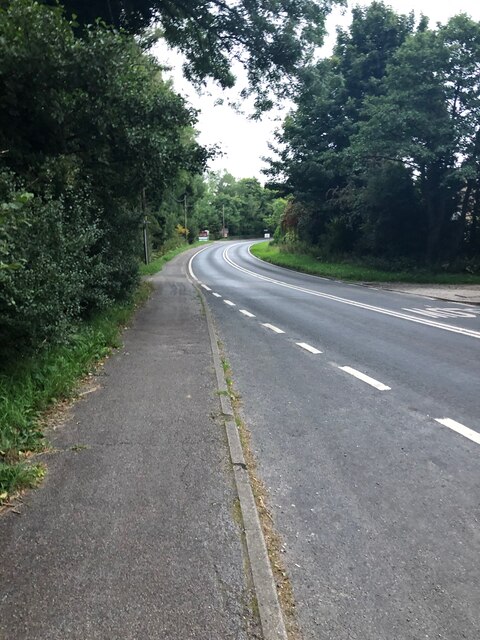
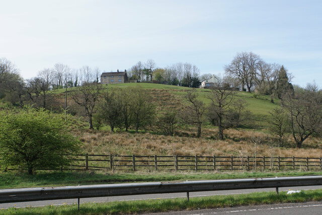
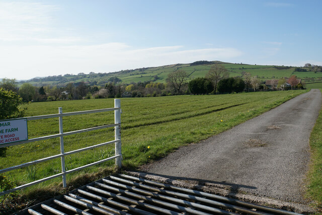
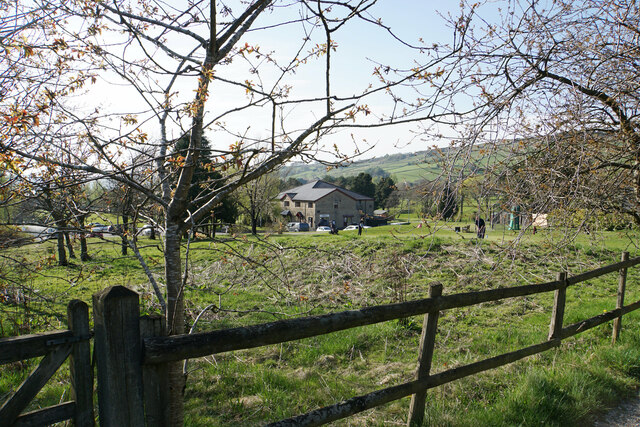
Hilltop is a small village located in the county of Derbyshire, England. Situated on the edge of the Peak District National Park, it offers residents and visitors a picturesque and tranquil setting surrounded by stunning natural beauty.

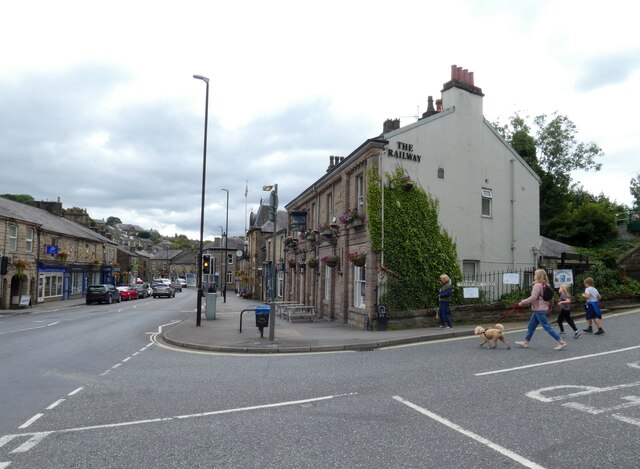
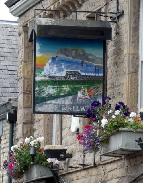
The village is characterized by its charming stone cottages, which add to its traditional and timeless atmosphere. It is home to a close-knit community, with a population of around 500 residents. Despite its small size, Hilltop boasts a range of amenities to cater to the needs of its residents, including a local pub, a village shop, and a primary school.

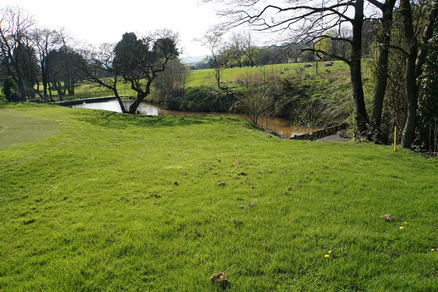
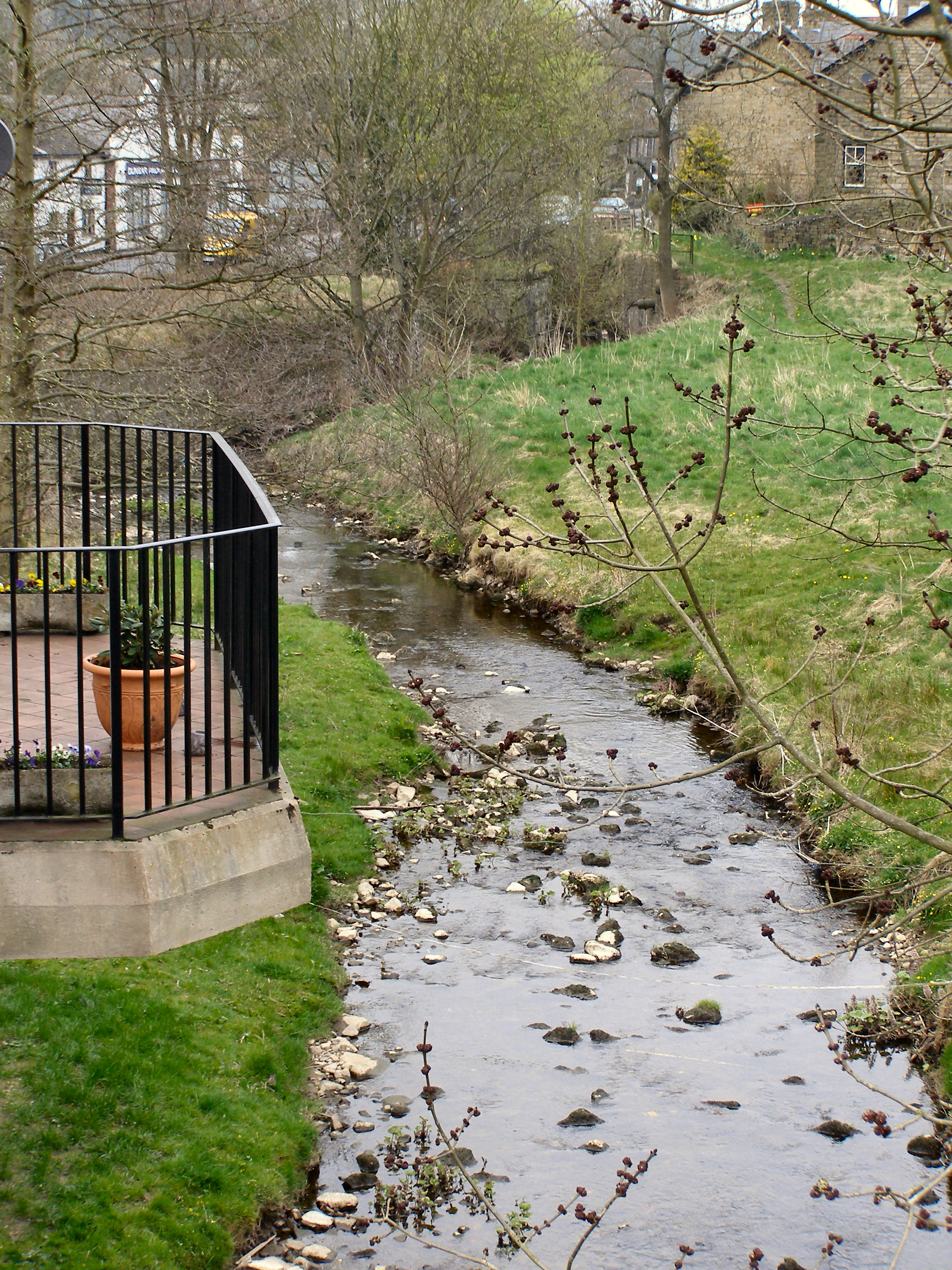
The surrounding countryside provides ample opportunities for outdoor activities, such as hiking, cycling, and horseback riding. Hilltop is also well-known for its scenic walking trails, which offer breathtaking views of the rolling hills and lush green landscapes.

For those interested in history and culture, Hilltop is conveniently located near several historical sites and landmarks. The nearby Chatsworth House, a grand stately home, is a popular attraction for visitors from far and wide. Additionally, the village is within close proximity to the historic market town of Bakewell, famous for its delicious Bakewell pudding.

Hilltop’s idyllic setting, friendly community, and access to both natural beauty and cultural attractions make it a desirable place to live or visit for those seeking a peaceful retreat in the heart of the Derbyshire countryside.

If you have any feedback on the listing, please let us know in the comments section below.
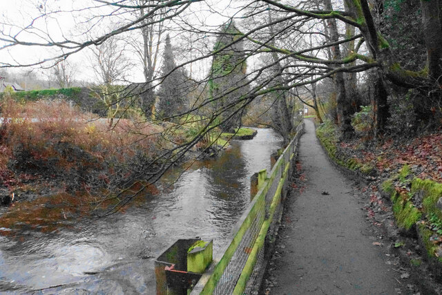
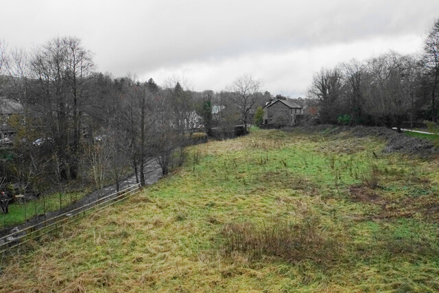
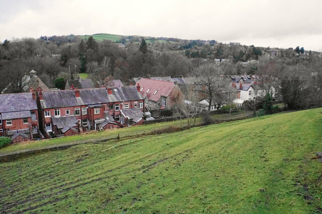
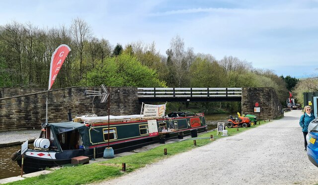
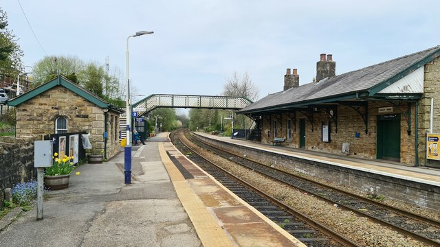
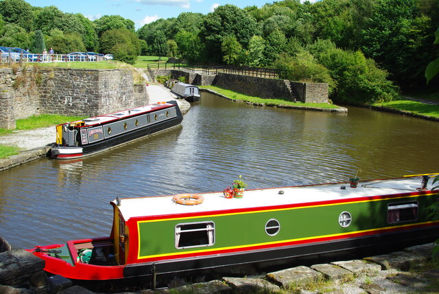
Hilltop Images

Images are sourced within 2km of 53.324565/-1.9599203 or Grid Reference SK0280. Thanks to Geograph Open Source API. All images are credited.

B5470 near Cockyard
B5470 near Cockyard
The Railway, Whaley Bridge The pub on Market Street (A5004) is currently owned by Inglenook Inns & Taverns.

<a href="https://www.geograph.org.uk/photo/6991071">SK0181 : Sign of The Railway</a>.
The Railway, Whaley Bridge
The pub on Market Street (A5004) is currently owned by Inglenook Inns & Taverns. SK0181 : Sign of The Railway.
Sign of The Railway 
Sign for The Railway <a href="https://www.geograph.org.uk/photo/6991029">SK0181 : The Railway, Whaley Bridge</a>.
Sign of The Railway
Sign for The Railway SK0181 : The Railway, Whaley Bridge.
Posts on Reservoir Road These two posts are found at the bottom of Reservoir Road outside The Railway <a href="https://www.geograph.org.uk/photo/6991029">SK0181 : The Railway, Whaley Bridge</a>.  Historic Streetview images shows that these have been restored and repainted in the last few years. 

What exactly the information refers to I haven't been able to ascertain. Whilst I assume they refer to Stockport Corporation Water Works, that Corporation doesn't appear to have had any connection with Toddbrook Reservoir.
Posts on Reservoir Road
These two posts are found at the bottom of Reservoir Road outside The Railway SK0181 : The Railway, Whaley Bridge. Historic Streetview images shows that these have been restored and repainted in the last few years. What exactly the information refers to I haven't been able to ascertain. Whilst I assume they refer to Stockport Corporation Water Works, that Corporation doesn't appear to have had any connection with Toddbrook Reservoir.
Bugsworth Basin, Whaley Bridge Bugsworth Basin is situated at the head of navigation of the Peak Forest Canal, in the village of Buxworth. The Basin was once the largest inland port on the narrow canal system; a busy interchange between tramway and canal where boats were loaded with limestone.

Bugsworth Basin closed in 1927 and by the 1960s was dry and overgrown. In 1968 volunteers from the Inland Waterways Protection Society began restoration and Bugsworth Basin was finally re-opened to navigation in March 2005.

Today it is unique as the only surviving canal and tramway interchange in the UK. It is recognised as an internationally important industrial heritage site, designated as a scheduled ancient monument and is protected under the Ancient Monuments and Archaeological Areas Act, 1979.
Bugsworth Basin, Whaley Bridge
Bugsworth Basin is situated at the head of navigation of the Peak Forest Canal, in the village of Buxworth. The Basin was once the largest inland port on the narrow canal system; a busy interchange between tramway and canal where boats were loaded with limestone. Bugsworth Basin closed in 1927 and by the 1960s was dry and overgrown. In 1968 volunteers from the Inland Waterways Protection Society began restoration and Bugsworth Basin was finally re-opened to navigation in March 2005. Today it is unique as the only surviving canal and tramway interchange in the UK. It is recognised as an internationally important industrial heritage site, designated as a scheduled ancient monument and is protected under the Ancient Monuments and Archaeological Areas Act, 1979.
Canal basin at Whaley Bridge The basin is at the southern end of the short Whaley Bridge branch of the Peak Forest Canal.
Canal basin at Whaley Bridge
The basin is at the southern end of the short Whaley Bridge branch of the Peak Forest Canal.
Iron bridge over the River Goyt This was once the route of the Cromford & High Peak Railway.
Iron bridge over the River Goyt
This was once the route of the Cromford & High Peak Railway.
Footpath to Whaley Bridge The route also incorporates part of the Midshires Way. The path has been diverted because of remedial works being undertaken around the Toddbrook Reservoir.
Footpath to Whaley Bridge
The route also incorporates part of the Midshires Way. The path has been diverted because of remedial works being undertaken around the Toddbrook Reservoir.
Path by the River Goyt One of several paths in the Memorial Park which occupies much of the western side of the River Goyt in Whaley Bridge.
Path by the River Goyt
One of several paths in the Memorial Park which occupies much of the western side of the River Goyt in Whaley Bridge.
Scrubby grass at Horwich End Randal Carr Brook flows to the left, shortly before meeting the River Goyt. The land here is not open to the public but does not appear to be being used.
Scrubby grass at Horwich End
Randal Carr Brook flows to the left, shortly before meeting the River Goyt. The land here is not open to the public but does not appear to be being used.
Field above Whaley Bridge Looking down from Old Road. The more major road, Buxton Road, runs in the bottom of the valley here. The centre of Whaley Bridge is off to the right.
Field above Whaley Bridge
Looking down from Old Road. The more major road, Buxton Road, runs in the bottom of the valley here. The centre of Whaley Bridge is off to the right.
Cafe Kirianna at Bugsworth Basin
Whaley Bridge station Old station buildings in stone, looked nice but all locked up.
Whaley Bridge station
Old station buildings in stone, looked nice but all locked up.
Whitehough Head As viewed from the A6 which runs below.
Whitehough Head
As viewed from the A6 which runs below.
Upper Basin, Buxworth The Peak Forest Canal Terminus
Upper Basin, Buxworth
The Peak Forest Canal Terminus
Farm track to Wilmar Farm and Roeside Farm A private track off the B5470 which is not a public footpath.
Farm track to Wilmar Farm and Roeside Farm
A private track off the B5470 which is not a public footpath.
Chapel-en-le-Frith Golf Club The clubhouse viewed from a passing track and footpath.
Chapel-en-le-Frith Golf Club
The clubhouse viewed from a passing track and footpath.
Small reservoirs in Chapel-en-le-Frith Golf Club A small brook has been dammed as it passes through the golf course.
Small reservoirs in Chapel-en-le-Frith Golf Club
A small brook has been dammed as it passes through the golf course.
Show me another place!

Hilltop is located at Grid Ref: SK0280 (Lat: 53.324565, Lng: -1.9599203)

Administrative County: Derbyshire

District: High Peak

Police Authority: Derbyshire

What 3 Words

///hides.smart.gasp. Near Whaley Bridge, Derbyshire

Nearby Locations

Hilltop

Related Wikis

Eccles Pike

Eccles Pike is an isolated hill three miles west of Chapel en le Frith in the Derbyshire Peak District, England. It consists of gritstone, pink in colour...

Tunstead Milton

Tunstead Milton is a village in Derbyshire, England. It is situated on the B5470 road west of, and in the parish of Chapel-en-le-Frith, near the northern...
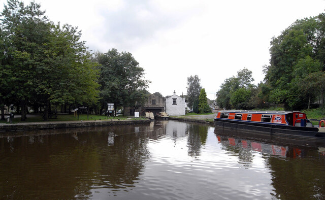
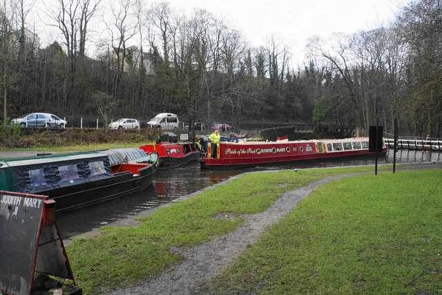
Bugsworth Basin

Bugsworth Basin is a canal basin at the terminus of the Peak Forest Canal at Buxworth (formerly Bugsworth) in the valley of the Black Brook, close to Whaley...
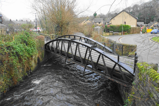
Randall Carr

The Randall Carr brook is a river in Derbyshire, England. It starts at Combs and flows to Whaley Bridge where it ends in the river Goyt. Its headwaters...

Related Videos

Whaley Bridge Town Walk, English Countryside 4K

https://www.buymeacoffee.com/Daveswalks All support is hugely appreciated and it helps me keep the channel going! No talking ...

Peak District - Chinley Churn and Cracken Edge walk 2023

Some of the best shots from the walk starting at Chinley and going along the cracken edge , passing cracken edge quarries and ...

Columbina arriving at Bugsworth Basin

Columbina arriving at Bugsworth Basin with guests recently! One of our top places to visit when staying aboard it is such a ...

Short Walk In Peak District | BEAUTIFUL Chinley Churn & Cracken Edge 😍

In this video, we take you on a beautiful short walk in the Peak District! Starting in Chinley we climb up Chinley Churn to reach the ...

Nearby Amenities

Located within 500m of 53.324565,-1.9599203
Barrier: stile
Material: stone
Source: survey;gps
Stile: stepover
Lat/Long: 53.3245277/-1.9543915
Barrier: stile
Material: stone
Source: survey 10 September 2014
Stile: stepover
Lat/Long: 53.3283249/-1.9628956
Barrier: stile
Material: stone
Source: survey 10 September 2014
Stile: stepover
Lat/Long: 53.3262188/-1.9585991
Browne Hill
Alt Name: Eccles Hill
Ele: 325
Natural: peak
Note: Known as "Browne Hill Fields Peak" on a local 17th century map
Lat/Long: 53.32704/-1.96343
Power: pole
Lat/Long: 53.3235009/-1.9542266
Power: pole
Lat/Long: 53.3246303/-1.9556335
Power: pole
Lat/Long: 53.3257205/-1.9569571
Power: pole
Lat/Long: 53.3264678/-1.9588468
Power: pole
Lat/Long: 53.3272127/-1.9606653
Power: pole
Lat/Long: 53.3279208/-1.962406
The data included in this document is from www.openstreetmap.org. The data is made available under ODbL.

Have you been to Hilltop?

Leave your review of Hilltop below (or comments, questions and feedback).