Hilltop

Settlement in Staffordshire Staffordshire Moorlands

England

Hilltop

View from the Longnor Road To "The Knights Table" inn - by the A53 Buxton/Leek road.
View from the Longnor Road Credit: Neil Theasby

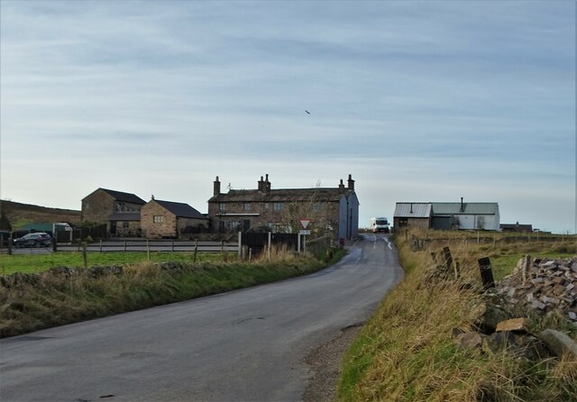
Hilltop is a small village located in the county of Staffordshire, England. It is situated on the eastern edge of Cannock Chase, an Area of Outstanding Natural Beauty known for its heathland and woodland scenery. With a population of around 1,500 residents, Hilltop retains a close-knit community feel.

The village itself is predominantly residential, with a mix of traditional stone cottages and more modern housing developments. Despite its small size, Hilltop boasts a range of amenities including a local convenience store, post office, and a primary school, catering to the needs of its residents.

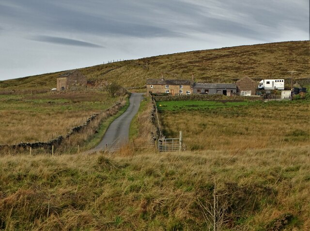
Nature enthusiasts are drawn to Hilltop due to its proximity to Cannock Chase, which offers ample opportunities for outdoor activities such as walking, cycling, and wildlife spotting. The area is home to a variety of wildlife, including deer, badgers, and rare bird species.

Hilltop is well-connected to nearby towns and cities, with good transport links provided by the A5 road and the M6 motorway. The village is also served by regular bus services, allowing residents easy access to surrounding areas.

In terms of leisure and recreation, Hilltop offers a community center where various events and activities take place throughout the year. Additionally, the village is within close proximity to several leisure facilities, including golf courses and leisure centers.

Overall, Hilltop, Staffordshire provides a peaceful, rural setting with access to beautiful natural surroundings, while still being conveniently located for transportation and access to nearby amenities.

If you have any feedback on the listing, please let us know in the comments section below.
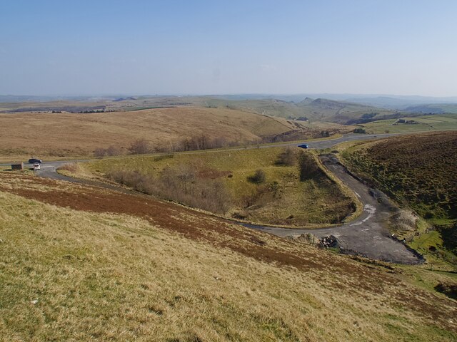
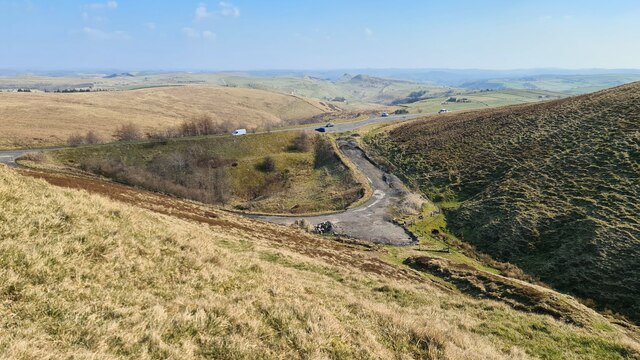
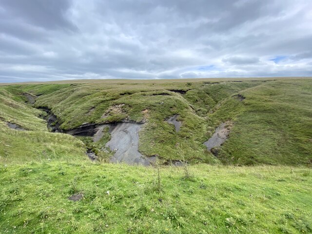
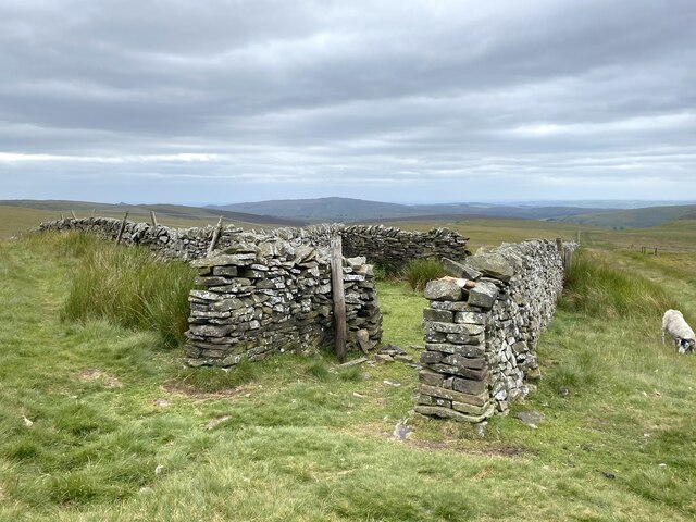
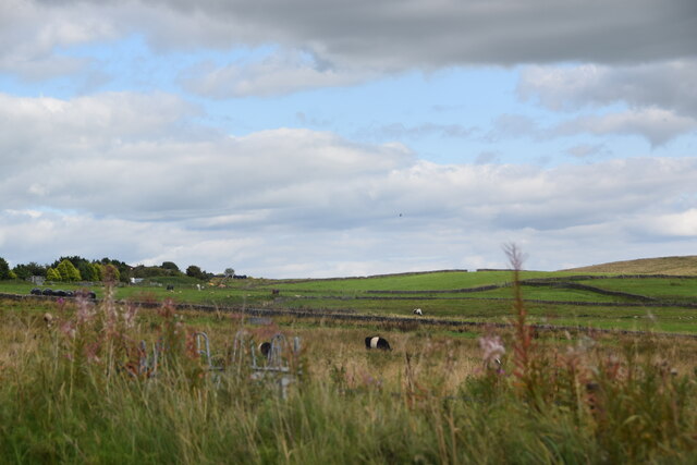
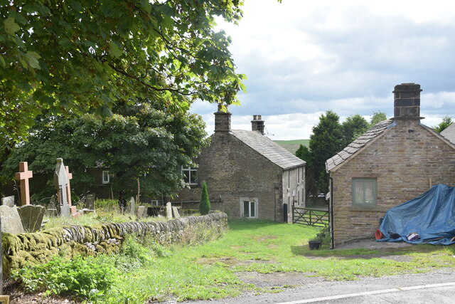
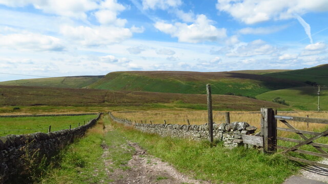
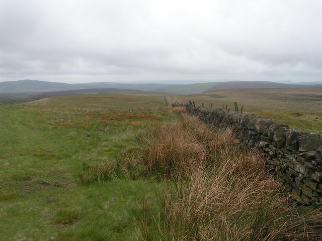
Hilltop Images

Images are sourced within 2km of 53.211719/-1.9576142 or Grid Reference SK0268. Thanks to Geograph Open Source API. All images are credited.

View from the Longnor Road To "The Knights Table" inn - by the A53 Buxton/Leek road.
View from the Longnor Road
To "The Knights Table" inn - by the A53 Buxton/Leek road.
St Paul's Church, Flash In the parish of Quarnford, the construction of St Paul's Church began in 1743.
St Paul's Church, Flash
In the parish of Quarnford, the construction of St Paul's Church began in 1743.
Elderberry Cottage near Flash
A view of Blackclough Farm
View to Readyleech Green Farm
November View Weather-beaten signpost above the village of Flash, looking out over the Staffordshire moors towards Cheshire.
November View
Weather-beaten signpost above the village of Flash, looking out over the Staffordshire moors towards Cheshire.
Lonely ruin on Oliver Hill Long ago someone might have lived here but more likely it was a sheep barn.
Lonely ruin on Oliver Hill
Long ago someone might have lived here but more likely it was a sheep barn.
On the path to Oliver Hill
Sign on "The New Inn" in Flash Shame about the missing apostrophe and the unnecessary capital "V". Perhaps it was the altitude's fault.
Sign on "The New Inn" in Flash
Shame about the missing apostrophe and the unnecessary capital "V". Perhaps it was the altitude's fault.
Blackclough & Dane Valley Way
Overlooking the A53 Leek - Buxton Road Evidence of the road having been straightened here.
Overlooking the A53 Leek - Buxton Road
Evidence of the road having been straightened here.
A53 below Axe Edge
A53 below Axe Edge
Farm track to Blackclough
Orchard Clough South of Axe Edge.
Orchard Clough
South of Axe Edge.
Boundary sheepfold Situated on the boundary of Derbyshire and Staffordshire.
Boundary sheepfold
Situated on the boundary of Derbyshire and Staffordshire.
View across fields from New Road A short distance south of Northfield Farm in the village of Flash.
View across fields from New Road
A short distance south of Northfield Farm in the village of Flash.
Northfield Farm, Flash The farmhouse is in the centre ahead in the shot, with the western end of the churchyard on the left and Northfield Cottage on the right. Taken from the junction of Brown Lane and New Road in the centre of the village.
Northfield Farm, Flash
The farmhouse is in the centre ahead in the shot, with the western end of the churchyard on the left and Northfield Cottage on the right. Taken from the junction of Brown Lane and New Road in the centre of the village.
Bridleway, W of Knotbury
Show me another place!

Hilltop is located at Grid Ref: SK0268 (Lat: 53.211719, Lng: -1.9576142)

Administrative County: Staffordshire

District: Staffordshire Moorlands

Police Authority: Staffordshire

What 3 Words

///tiger.fulfilled.quiz. Near Buxton, Derbyshire

Nearby Locations

Hilltop

Related Wikis

Oliver Hill (Peak District)

Oliver Hill is a hill, 513 metres (1,683 ft) high, in the Peak District in the county of Staffordshire in England. It is a treeless summit surrounded by...

Quarnford

Quarnford is a village and civil parish in the Staffordshire Moorlands district of Staffordshire, England. According to the 2001 census it had a population...

Flash, Staffordshire

Flash is a village in the Staffordshire Moorlands, England, and Peak District National Park. At 1,519 feet (463 m) above sea level, it is the highest village...

Cheeks Hill

Cheeks Hill is a hill on Axe Edge Moor in the Peak District, England. It lies just south of the Cat and Fiddle Road near Buxton, and forms part of the...

Three Shire Heads

Three Shire Heads (also known as Three Shires Head) is the point on Axe Edge Moor where Cheshire, Derbyshire and Staffordshire meet, at UK grid reference...

Axe Edge Moor

Axe Edge Moor is the major moorland southwest of Buxton in the Peak District, England. It is mainly gritstone (Namurian shale and sandstone). Its highest...

Hollins Hill

Hollins Hill is a gritstone hill in the Derbyshire Peak District near the village of Hollinsclough. The summit is 450 metres (1,480 ft) above sea level...

Health and Safety Laboratory

The Health and Safety Laboratory (HSE Laboratory or HSL Buxton) is a large 550-acre research site in rural High Peak, Derbyshire, south of Buxton. It researches...

Nearby Amenities

Located within 500m of 53.211719,-1.9576142
Bus Stop
Travellers Rest PH
Bus: yes
Naptan AtcoCode: 3800C811300
Naptan Bearing: S
Naptan CommonName: Travellers Rest PH
Naptan Indicator: Adj
Naptan Landmark: Travellers Rest PH
Naptan Street: Buxton Road
Naptan Verified: no
Public Transport: platform
Source: naptan_import
Lat/Long: 53.2080384/-1.9537638
Bus Stop
Travellers Rest PH
Bus: yes
Naptan AtcoCode: 3800C811301
Naptan Bearing: N
Naptan CommonName: Travellers Rest PH
Naptan Indicator: Opp
Naptan Landmark: Travellers Rest PH
Naptan Street: Buxton Road
Naptan Verified: no
Public Transport: platform
Source: naptan_import
Lat/Long: 53.2083543/-1.9544283
Barrier: stile
Material: wood
Source: survey;gps
Stile: stepover
Lat/Long: 53.2093055/-1.9577005
Barrier: stile
Material: wood
Source: survey;gps
Stile: stepover
Lat/Long: 53.2104595/-1.9617666
Fixme: PROW obstructed by barbed wire fence.
Lat/Long: 53.2106371/-1.9510071
Barrier: stile
Material: stone
Source: survey;gps
Stile: stepover
Lat/Long: 53.2118821/-1.9555459
Barrier: stile
Material: wood
Source: survey;gps
Stile: stepover
Lat/Long: 53.213968/-1.9568651
Barrier: stile
Material: wood
Source: survey;gps
Stile: stepover
Lat/Long: 53.2142573/-1.9544154
The data included in this document is from www.openstreetmap.org. The data is made available under ODbL.

Have you been to Hilltop?

Leave your review of Hilltop below (or comments, questions and feedback).