Hillhead

Settlement in Aberdeenshire

Scotland

Hillhead

Fence-lined track that leads to Woodside Looking eastward.
Fence-lined track that leads to Woodside Credit: Peter Wood

Hillhead is a small village located in the Aberdeenshire region of Scotland. Situated approximately 20 miles west of Aberdeen, the village is nestled between the picturesque landscapes of the Cairngorms National Park and the North Sea coast.

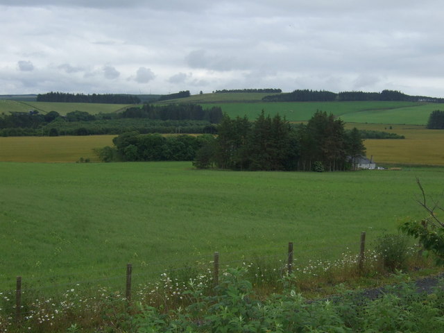
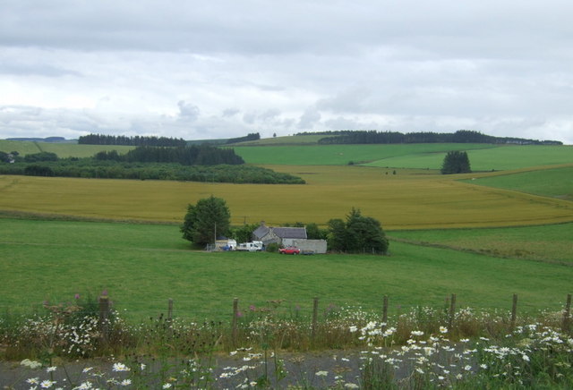
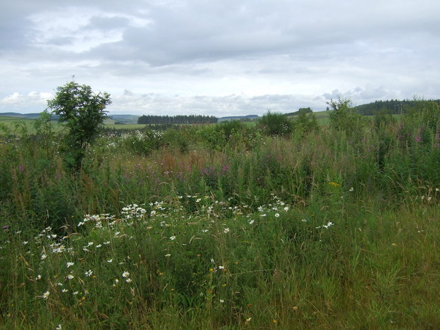
This charming village offers a peaceful and idyllic setting, with its traditional stone cottages and stunning views of the surrounding countryside. The village is known for its close-knit community, where residents enjoy a strong sense of belonging and pride in their local heritage.

Hillhead is blessed with a range of amenities that cater to the needs of its residents. The village boasts a primary school, a community center, and a village hall that serves as a hub for various social events and activities. There is also a local shop that provides essential supplies, as well as a post office for postal services.

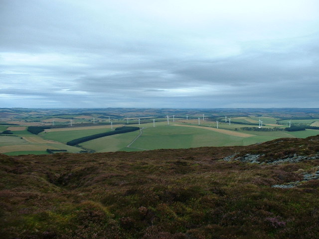
For outdoor enthusiasts, Hillhead offers an abundance of opportunities to explore the natural beauty of the area. The nearby Cairngorms National Park is a haven for hikers, cyclists, and wildlife enthusiasts, with its vast expanses of forests, mountains, and lochs. The coastline, just a short drive away, provides opportunities for beach walks, fishing, and water sports.

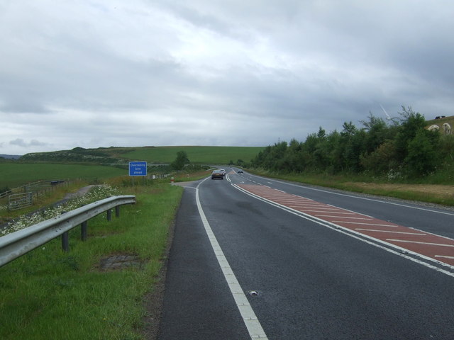
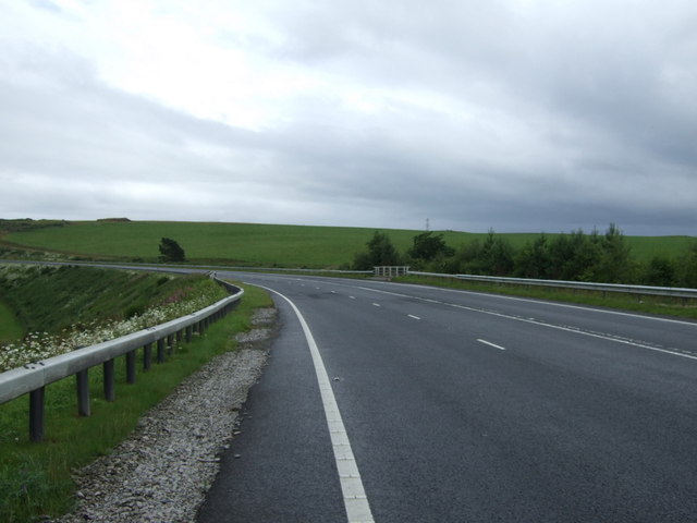
In terms of transport, Hillhead is well-connected to the wider region. The village has good road links, with the A96 passing nearby, providing easy access to Aberdeen and other towns in Aberdeenshire. Additionally, there are regular bus services that connect Hillhead to surrounding areas.

Overall, Hillhead offers a charming and tranquil setting, making it an ideal place for those seeking a peaceful, rural lifestyle while still being within reach of the amenities and attractions of the nearby city of Aberdeen.

If you have any feedback on the listing, please let us know in the comments section below.
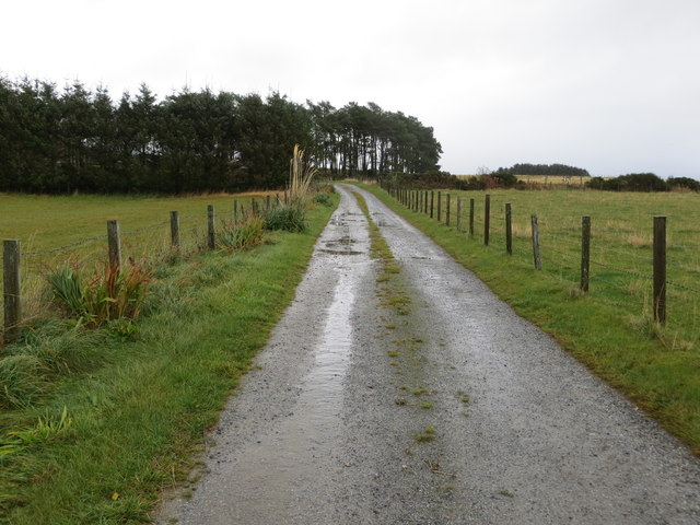
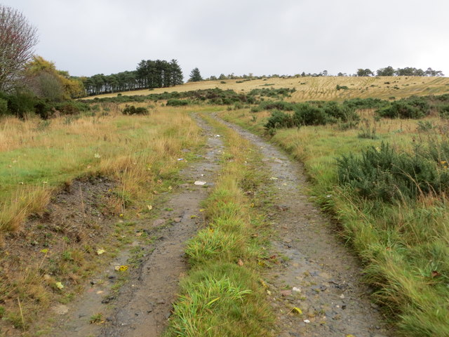
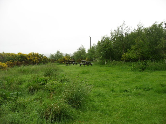
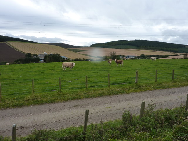
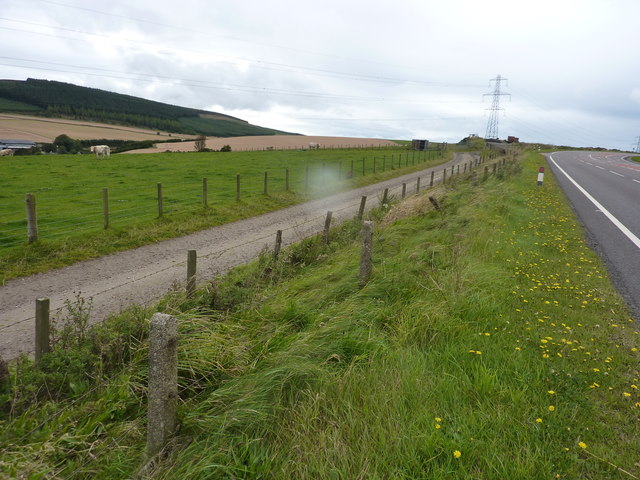
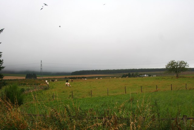
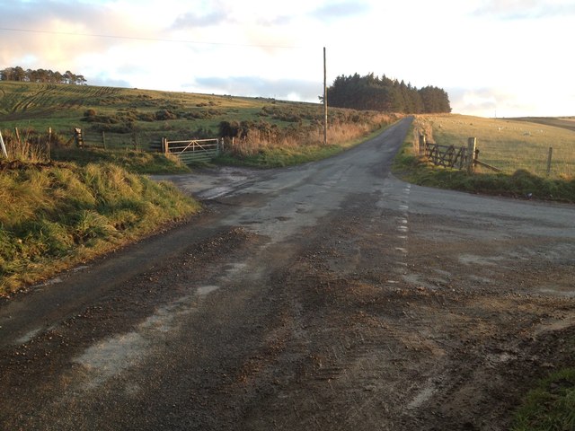
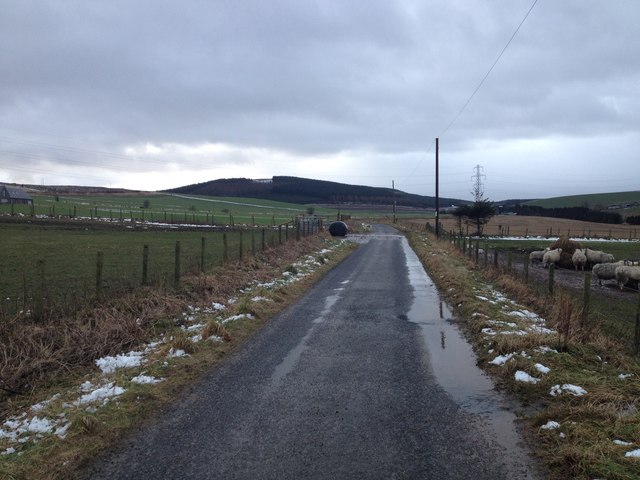
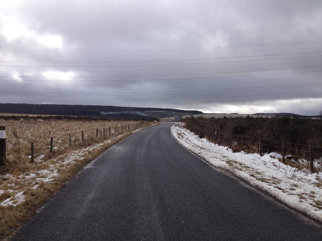
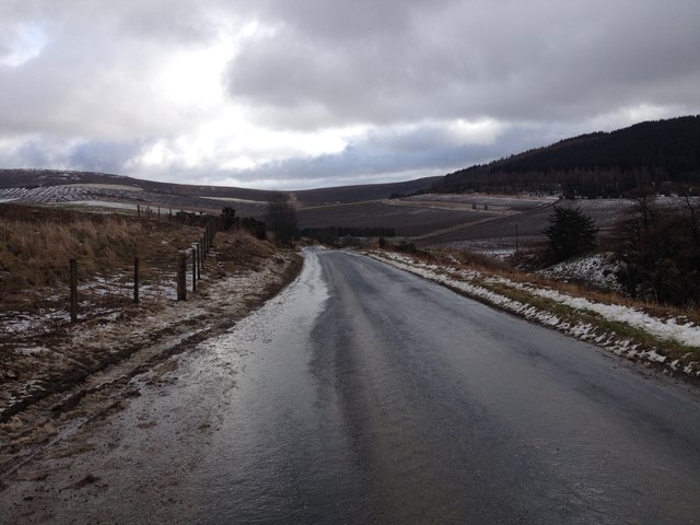
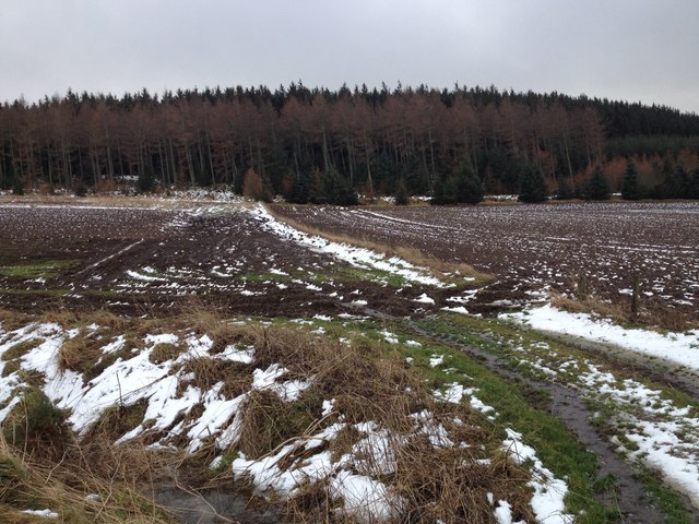
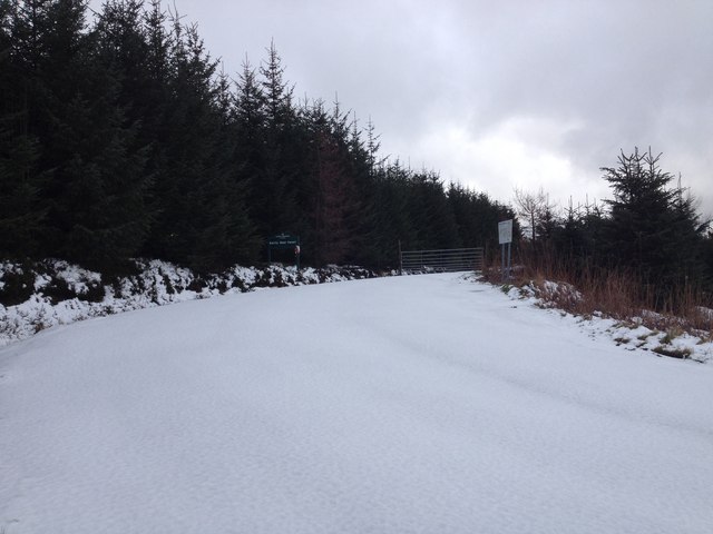
Hillhead Images

Images are sourced within 2km of 57.407866/-2.7017649 or Grid Reference NJ5735. Thanks to Geograph Open Source API. All images are credited.

Fence-lined track that leads to Woodside Looking eastward.
Fence-lined track that leads to Woodside
Looking eastward.
Track onto Wood and Hill of Chapelton Looking south-eastward.
Track onto Wood and Hill of Chapelton
Looking south-eastward.
Picnic site by the A96 No takers on a dull and damp morning.
Picnic site by the A96
No takers on a dull and damp morning.
Field of cattle beside the A96 Broomhill Farm is beyond the field , but unseen, as it is down beside the Glen Water ( heading for the Glens of Foudland ). In the photo are Clinkstone and Stodfields. Sorry for the raindrop, but the remains of hurricane Katia are arriving.
Field of cattle beside the A96
Broomhill Farm is beyond the field , but unseen, as it is down beside the Glen Water ( heading for the Glens of Foudland ). In the photo are Clinkstone and Stodfields. Sorry for the raindrop, but the remains of hurricane Katia are arriving.
Farm track servicing the field beside the busy A96 It was probably put in when the A96 was widened.
Farm track servicing the field beside the busy A96
It was probably put in when the A96 was widened.
Cattle by Greenmyres Cattle grazing at Greenmyres by Ramstone Hill.
Cattle by Greenmyres
Cattle grazing at Greenmyres by Ramstone Hill.
Crossroads near Hill of Chapelton
Minor road to Clinkstone
Minor road near Gartly Moor
Minor road near Glennieston Farm
Farmland near Gartly Moor
Forestry entrance near Gartly Moor
Aurora Borealis Looking north from the darkest spot I could find, near Chapelton crossroads.
Aurora Borealis
Looking north from the darkest spot I could find, near Chapelton crossroads.
Farmland and woodland Towards Bogside of Adamston.
Farmland and woodland
Towards Bogside of Adamston.
A96 heading south east  Towards Aberdeen.
A96 heading south east
Towards Aberdeen.
Bogside Cottage
Bogside Cottage
A bend in the A96 Heading south east towards Aberdeen.
A bend in the A96
Heading south east towards Aberdeen.
Ramstone Brae
Ramstone Brae
Show me another place!

Hillhead is located at Grid Ref: NJ5735 (Lat: 57.407866, Lng: -2.7017649)

Unitary Authority: Aberdeenshire

Police Authority: North East

What 3 Words

///decently.touched.choppers. Near Huntly, Aberdeenshire

Nearby Locations

Rack Moss Hillhead

Related Wikis

Bainshole

Bainshole is a farm in Aberdeenshire, Scotland. == References ==

Battle of Slioch

The Battle of Slioch was a minor skirmish in the First War of Scottish Independence. Although the encounter was inconclusive, the domestic enemies of the...

Brideswell, Aberdeenshire

Brideswell (Scottish Gaelic: Tobar Bhrìde) is a village in Aberdeenshire, Scotland. It is named in honour of Brigid of Ireland.

Drumblade

Drumblade is a hamlet in north-western Aberdeenshire, Scotland, which lies 4¾ miles east of the town of Huntly. == Schools == Drumblade Primary School...

Nearby Amenities

Located within 500m of 57.407866,-2.7017649
Design: barrel
Power: tower
Lat/Long: 57.405517/-2.707174
Design: barrel
Power: tower
Lat/Long: 57.4043159/-2.702383
Material: wood
Power: pole
Lat/Long: 57.4073565/-2.6985311
Material: wood
Power: pole
Lat/Long: 57.4079863/-2.6980705
Material: wood
Power: pole
Lat/Long: 57.4086518/-2.6975967
Material: wood
Power: pole
Lat/Long: 57.4090931/-2.6983384
Material: wood
Power: pole
Lat/Long: 57.4095559/-2.6990979
Material: wood
Power: pole
Lat/Long: 57.4099757/-2.6997821
Power: pole
Lat/Long: 57.410213/-2.7010487
Power: pole
Lat/Long: 57.4104456/-2.7022953
Power: pole
Lat/Long: 57.4106865/-2.7035442
Power: pole
Lat/Long: 57.4109274/-2.7048107
Power: pole
Lat/Long: 57.4108189/-2.7059024
Power: pole
Lat/Long: 57.4107008/-2.7069851
Power: pole
Lat/Long: 57.4105792/-2.708121
Power: pole
Lat/Long: 57.4085659/-2.7049923
Power: pole
Lat/Long: 57.4089655/-2.706064
Power: pole
Lat/Long: 57.4093567/-2.7071003
Power: pole
Lat/Long: 57.4099554/-2.7075852
Power: pole
Lat/Long: 57.4119423/-2.6985134
Power: pole
Lat/Long: 57.411321/-2.6989961
Power: pole
Lat/Long: 57.4106579/-2.699388
Newtongarry Inn
Place: isolated_dwelling
Lat/Long: 57.4082176/-2.705571
Hillhead
Place: isolated_dwelling
Lat/Long: 57.4084604/-2.7042406
Croft of Broomhill
Place: isolated_dwelling
Lat/Long: 57.407108/-2.6988118
The data included in this document is from www.openstreetmap.org. The data is made available under ODbL.

Have you been to Hillhead?

Leave your review of Hillhead below (or comments, questions and feedback).