Rack Moss

Wood, Forest in Aberdeenshire

Scotland

Rack Moss

Fence-lined track that leads to Woodside Looking eastward.
Fence-lined track that leads to Woodside Credit: Peter Wood

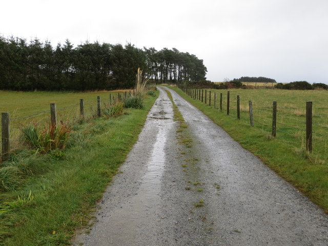
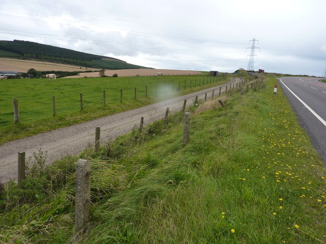
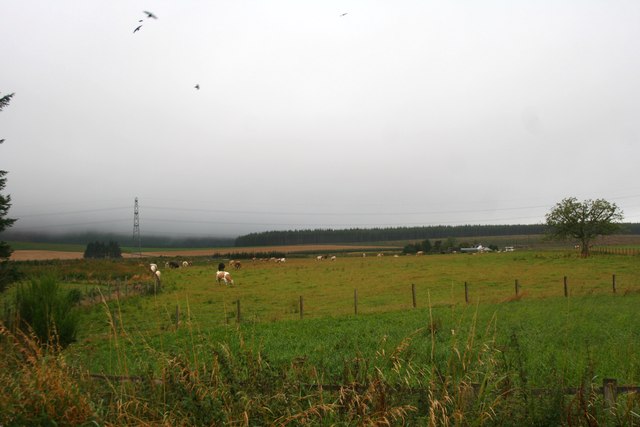
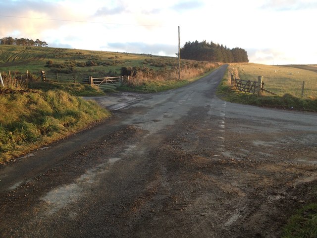
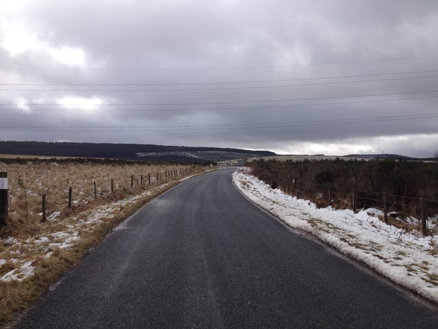
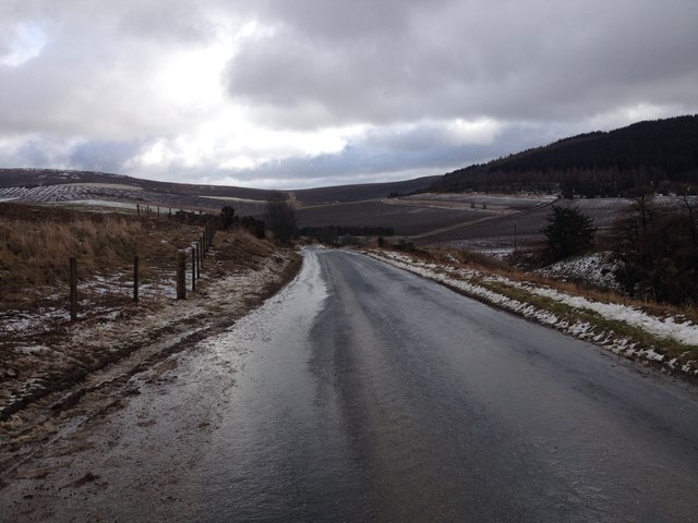
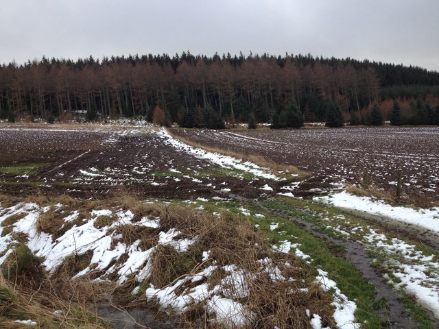
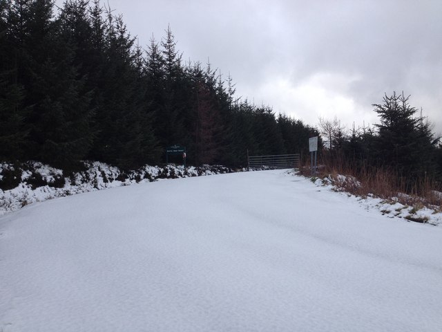
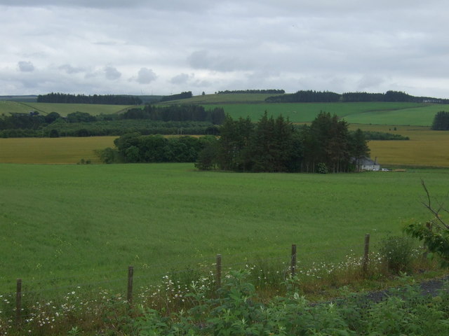
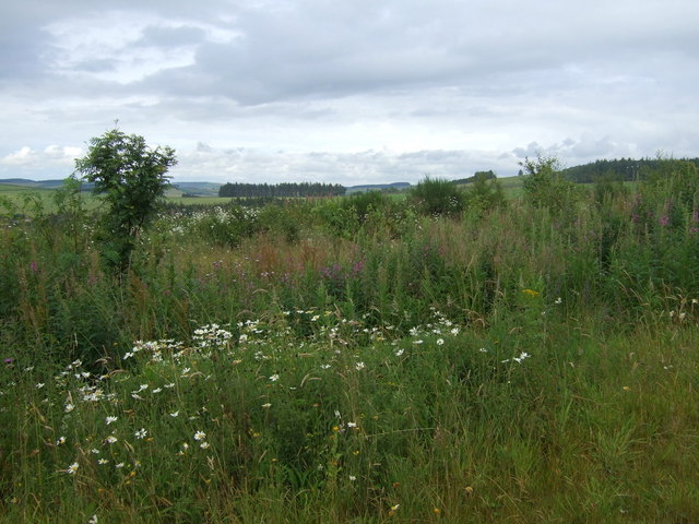
Rack Moss is a woodland area located in Aberdeenshire, Scotland. Covering an area of approximately 1,000 acres, Rack Moss is a diverse and rich ecosystem that is home to a variety of plant and animal species. The woodland is characterized by its dense canopy of trees, including oak, birch, and pine trees, which provide habitat for numerous bird species such as woodpeckers and owls.

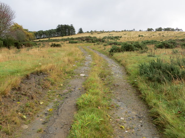
Rack Moss is a popular destination for nature lovers and outdoor enthusiasts, offering a network of walking trails that wind through the forest, allowing visitors to explore the natural beauty of the area. The woodland is also home to a number of rare and protected species, making it an important site for conservation efforts.

In addition to its ecological significance, Rack Moss also holds cultural and historical importance, with evidence of human settlement dating back to the Neolithic period. The woodland has been used for various purposes over the centuries, including timber harvesting and as a hunting ground for nobility.

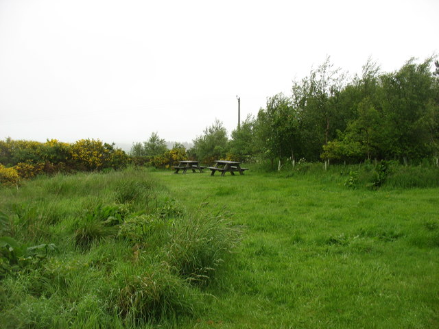
Overall, Rack Moss is a valuable natural resource that provides a peaceful retreat for visitors and contributes to the biodiversity of Aberdeenshire.

If you have any feedback on the listing, please let us know in the comments section below.

Rack Moss Images

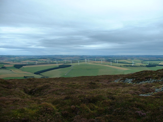
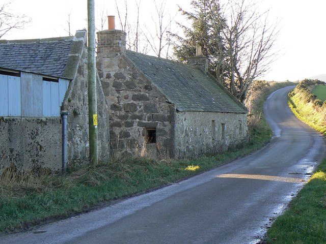
Images are sourced within 2km of 57.404895/-2.710978 or Grid Reference NJ5735. Thanks to Geograph Open Source API. All images are credited.

Fence-lined track that leads to Woodside Looking eastward.
Fence-lined track that leads to Woodside
Looking eastward.
Track onto Wood and Hill of Chapelton Looking south-eastward.
Track onto Wood and Hill of Chapelton
Looking south-eastward.
Picnic site by the A96 No takers on a dull and damp morning.
Picnic site by the A96
No takers on a dull and damp morning.
Field of cattle beside the A96 Broomhill Farm is beyond the field , but unseen, as it is down beside the Glen Water ( heading for the Glens of Foudland ). In the photo are Clinkstone and Stodfields. Sorry for the raindrop, but the remains of hurricane Katia are arriving.
Field of cattle beside the A96
Broomhill Farm is beyond the field , but unseen, as it is down beside the Glen Water ( heading for the Glens of Foudland ). In the photo are Clinkstone and Stodfields. Sorry for the raindrop, but the remains of hurricane Katia are arriving.
Farm track servicing the field beside the busy A96 It was probably put in when the A96 was widened.
Farm track servicing the field beside the busy A96
It was probably put in when the A96 was widened.
Cattle by Greenmyres Cattle grazing at Greenmyres by Ramstone Hill.
Cattle by Greenmyres
Cattle grazing at Greenmyres by Ramstone Hill.
Crossroads near Hill of Chapelton
Minor road near Gartly Moor
Minor road near Glennieston Farm
Farmland near Gartly Moor
Forestry entrance near Gartly Moor
Minor road near Gartly Moor
Aurora Borealis Looking north from the darkest spot I could find, near Chapelton crossroads.
Aurora Borealis
Looking north from the darkest spot I could find, near Chapelton crossroads.
Farmland and woodland Towards Bogside of Adamston.
Farmland and woodland
Towards Bogside of Adamston.
A96 heading south east  Towards Aberdeen.
A96 heading south east
Towards Aberdeen.
Bogside Cottage
Bogside Cottage
A bend in the A96 Heading south east towards Aberdeen.
A bend in the A96
Heading south east towards Aberdeen.
Ramstone Brae
Ramstone Brae
Show me another place!

Rack Moss is located at Grid Ref: NJ5735 (Lat: 57.404895, Lng: -2.710978)

Unitary Authority: Aberdeenshire

Police Authority: North East

What 3 Words

///chat.articulated.opposites. Near Huntly, Aberdeenshire

Nearby Locations

Hillhead Rack Moss

Related Wikis

Battle of Slioch

The Battle of Slioch was a minor skirmish in the First War of Scottish Independence. Although the encounter was inconclusive, the domestic enemies of the...

Bainshole

Bainshole is a farm in Aberdeenshire, Scotland. == References ==

Brideswell, Aberdeenshire

Brideswell (Scottish Gaelic: Tobar Bhrìde) is a village in Aberdeenshire, Scotland. It is named in honour of Brigid of Ireland.

Backburn

Backburn is a rural settlement near Gartly in Aberdeenshire, Scotland. == References ==

Nearby Amenities

Located within 500m of 57.404895,-2.710978
Design: barrel
Power: tower
Lat/Long: 57.405517/-2.707174
Design: barrel
Power: tower
Lat/Long: 57.4068864/-2.712636
Power: pole
Lat/Long: 57.4091265/-2.7129592
Power: pole
Lat/Long: 57.408715/-2.7138626
Power: pole
Lat/Long: 57.4083083/-2.7147749
Power: pole
Lat/Long: 57.4080042/-2.7154281
Greenmires
Place: isolated_dwelling
Lat/Long: 57.4073854/-2.7166861
Newtongarry Inn
Place: isolated_dwelling
Lat/Long: 57.4082176/-2.705571
The data included in this document is from www.openstreetmap.org. The data is made available under ODbL.

Have you been to Rack Moss?

Leave your review of Rack Moss below (or comments, questions and feedback).