Hillcroft Park
Settlement in Staffordshire Stafford
England
Hillcroft Park
Hillcroft Park, located in Staffordshire, England, is a picturesque holiday retreat nestled in the heart of the stunning Peak District National Park. Spanning over 40 acres of lush countryside, this family-owned park offers a perfect blend of tranquility and adventure.
The park provides a variety of accommodation options to suit every preference and budget. From cozy static caravans and luxurious lodges to spacious camping and touring pitches, visitors can choose their ideal home away from home. Each accommodation option is well-maintained and equipped with modern amenities, ensuring a comfortable stay for all.
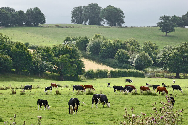
Nature enthusiasts will be delighted by the park's surroundings. Hillcroft Park boasts breathtaking views of the surrounding hills, valleys, and woodlands, making it an idyllic setting for hiking, walking, and cycling. The park also features its very own private fishing lake, providing anglers with the perfect spot to relax and cast their lines.
For families, the park offers an array of on-site facilities and activities. Children can enjoy the adventure playground, while parents can unwind in the park's licensed bar and lounge area. Additionally, the park hosts regular events and entertainment, ensuring there is always something for everyone to enjoy.
With its prime location, Hillcroft Park serves as an excellent base for exploring the wider Staffordshire area. Nearby attractions include the historic market town of Leek, the world-renowned Alton Towers theme park, and the magnificent Chatsworth House.
Overall, Hillcroft Park offers a serene and picturesque retreat, perfect for those seeking a peaceful getaway amidst the natural beauty of Staffordshire. Whether for a family vacation or a romantic escape, this charming park provides an unforgettable experience for all who visit.
If you have any feedback on the listing, please let us know in the comments section below.
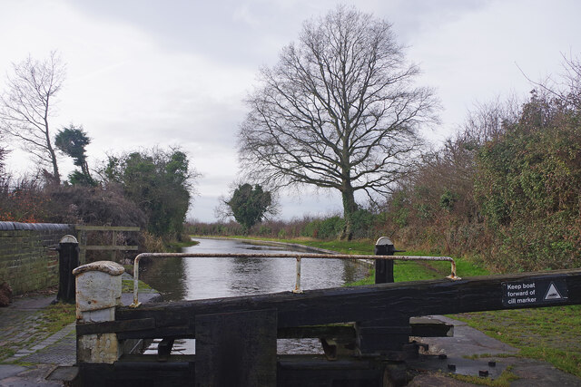
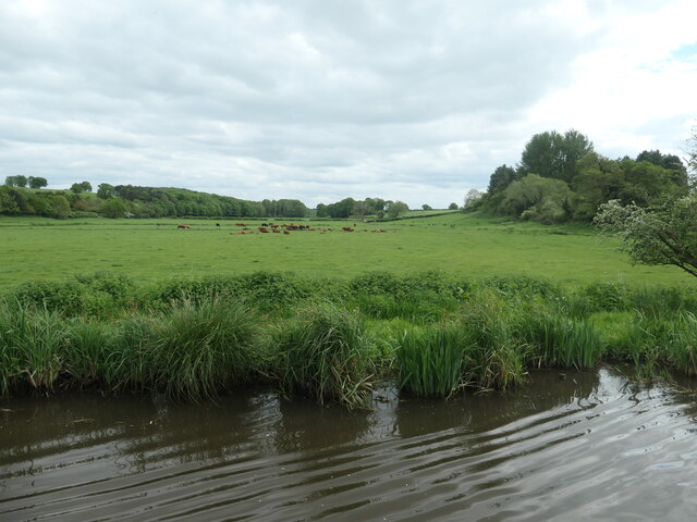
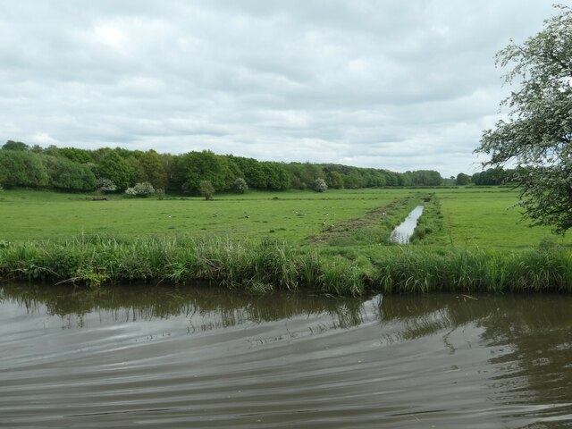
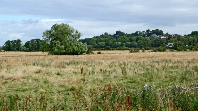
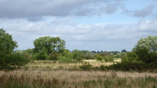
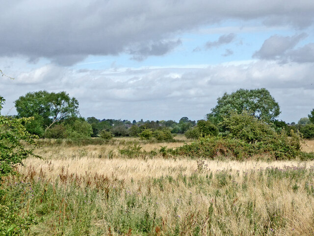
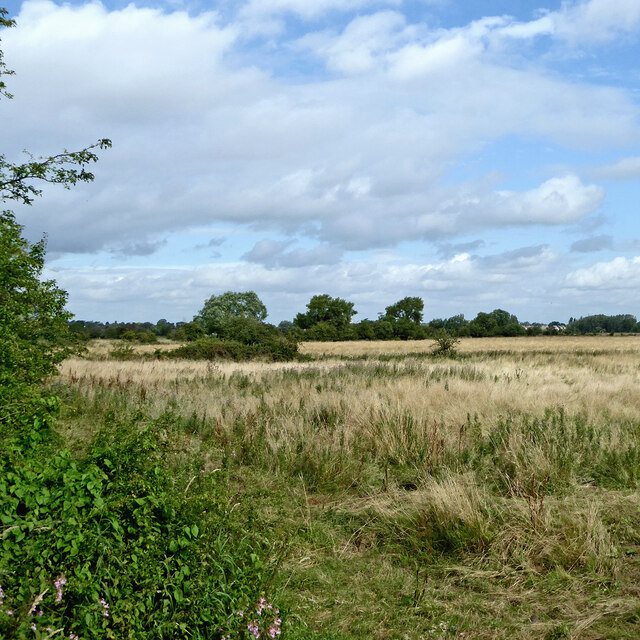
Hillcroft Park Images
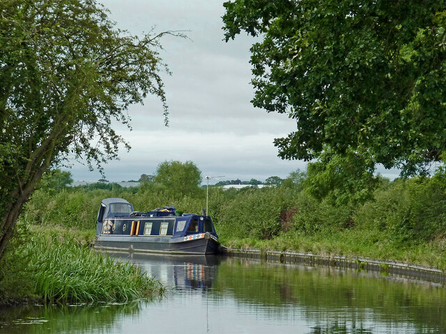
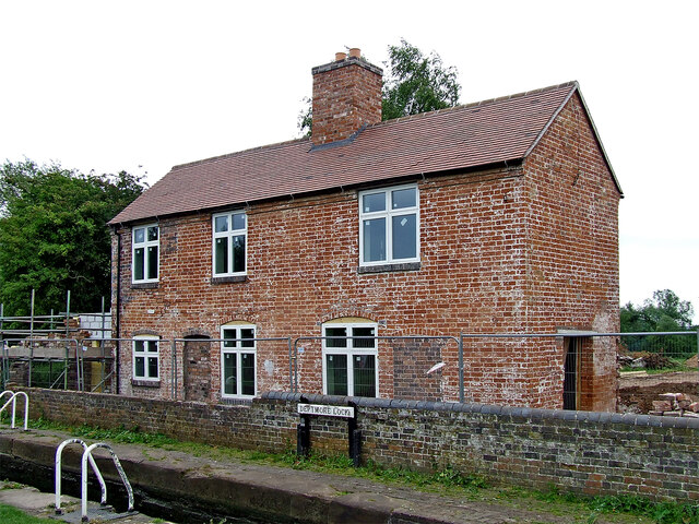
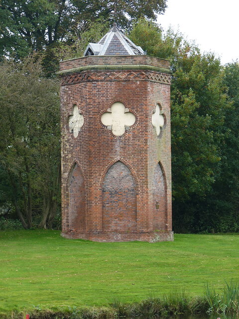
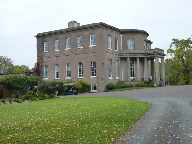
Images are sourced within 2km of 52.786246/-2.0741386 or Grid Reference SJ9520. Thanks to Geograph Open Source API. All images are credited.


Hillcroft Park is located at Grid Ref: SJ9520 (Lat: 52.786246, Lng: -2.0741386)
Administrative County: Staffordshire
District: Stafford
Police Authority: Staffordshire
What 3 Words
///slave.helped.rotate. Near Stafford, Staffordshire
Nearby Locations
Related Wikis

Walton High School, Stafford
Walton High School is a large mixed secondary school and sixth form serving a community in the southern part of Stafford, England.There are approximately...

Berkswich
Berkswich ( BAHK-switch) is a civil parish in the borough of Stafford in Staffordshire, England. According to the 2001 census it had a population of 1...
Walton-on-the-Hill, Staffordshire
Walton-on-the-Hill is a village in the Borough of Stafford in Staffordshire, England. It is about 5 km east of the centre of Stafford, and lies on the...

Radford Meadows
Radford Meadows is a nature reserve of the Staffordshire Wildlife Trust, on the southern edge of Stafford, in Staffordshire, England. The reserve is a...

Baswich
Baswich is an estate on the south eastern side of Stafford, in the Stafford district, in the county of Staffordshire, England. Baswich amenities are a...

Milford Hall
Milford Hall is a privately owned 18th-century English country house at Milford, near Stafford. It is the family seat of the Levett Haszard family and...
Brocton F.C.
Brocton Football Club is a football club representing Brocton, near Stafford, England. They are currently members of the North West Counties League Division...
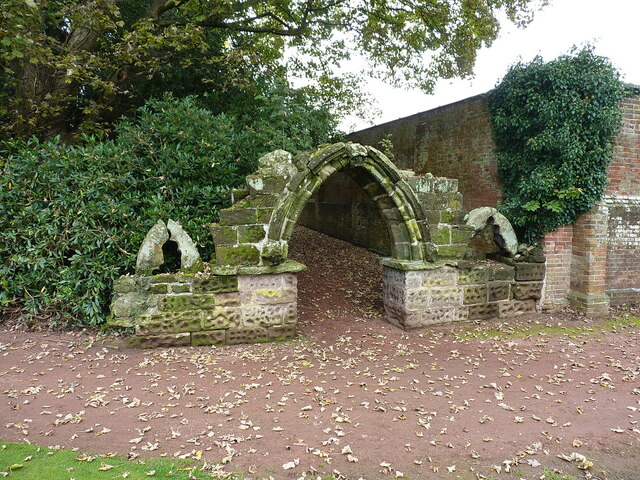
Priory of St. Thomas near Stafford
Priory of St. Thomas near Stafford was an Augustinian religious house near Stafford, Staffordshire, England. Founded sometime in approximately 1174, it...
Nearby Amenities
Located within 500m of 52.786246,-2.0741386Have you been to Hillcroft Park?
Leave your review of Hillcroft Park below (or comments, questions and feedback).