Highwood
Settlement in Staffordshire East Staffordshire
England
Highwood
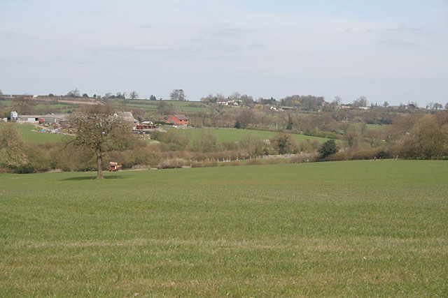
Highwood is a small village located in the county of Staffordshire, England. Situated in the West Midlands region, it is nestled in a picturesque rural setting, surrounded by rolling hills and lush green fields. The village lies approximately 8 miles southeast of the county town of Stafford.
Highwood is renowned for its tranquil atmosphere and idyllic countryside, making it a popular destination for nature lovers and those seeking a peaceful retreat. The village is characterized by its charming mix of traditional stone cottages and modern housing developments, providing a diverse range of accommodation options.
Despite its small size, Highwood boasts a strong sense of community. The village has a local primary school, church, and a village hall, which serves as a hub for various social activities and community events. The residents take pride in preserving the village's heritage and organizing initiatives to enhance the quality of life for all.
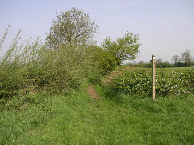
The surrounding area offers ample opportunities for outdoor pursuits. Highwood is located near several nature reserves, offering scenic walking trails and bird-watching spots. Additionally, the nearby Cannock Chase, designated as an Area of Outstanding Natural Beauty, provides a stunning backdrop for cycling, horse riding, and picnicking.
Highwood benefits from its proximity to Stafford, where residents can access a wider range of amenities including supermarkets, shops, restaurants, and leisure facilities. The village also benefits from good transport links, with easy access to major roads and nearby railway stations.
Overall, Highwood offers a serene and picturesque setting, making it an ideal place for those seeking a tranquil countryside lifestyle within close proximity to urban amenities.
If you have any feedback on the listing, please let us know in the comments section below.
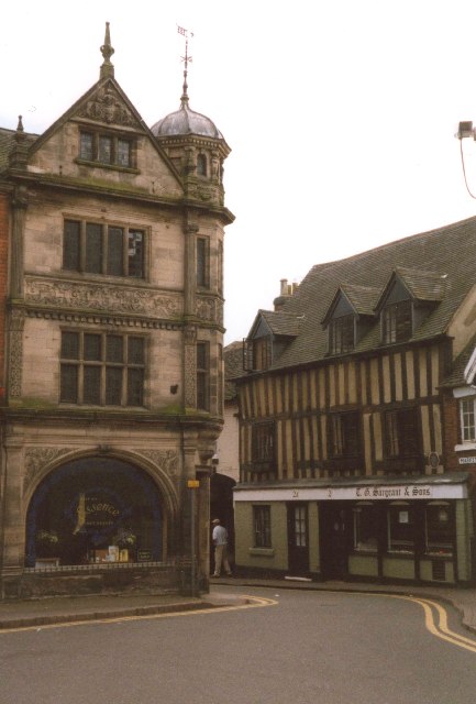
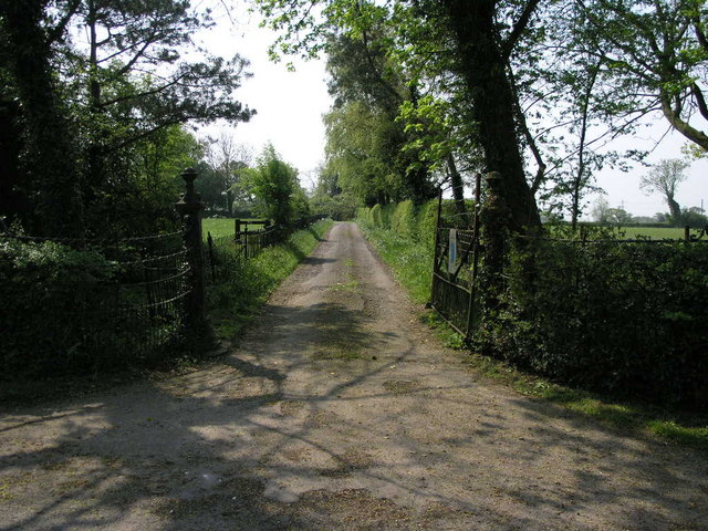
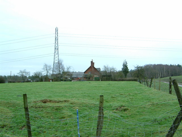
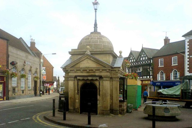
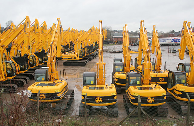
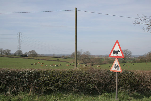
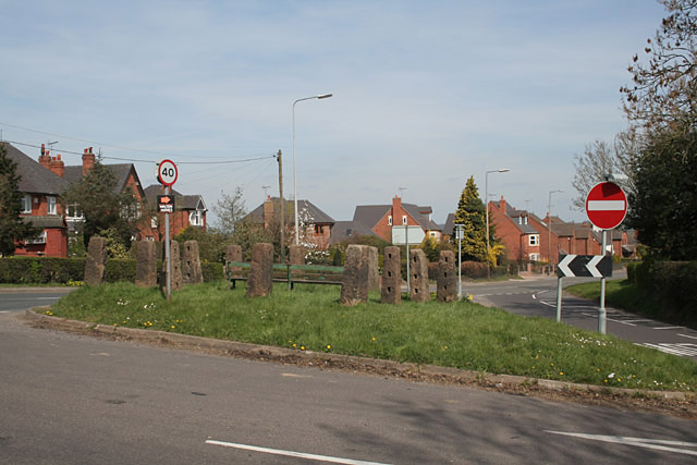
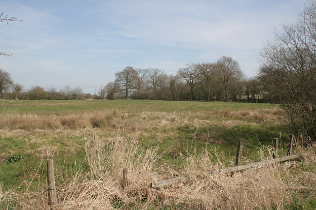
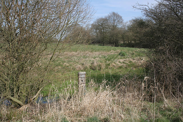
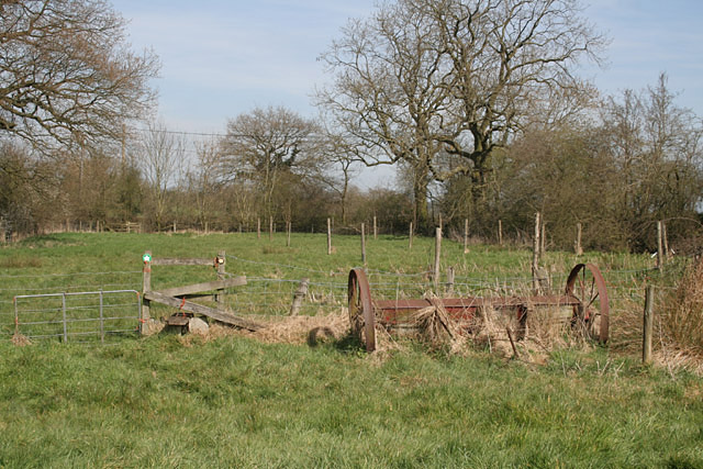
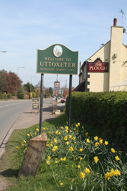
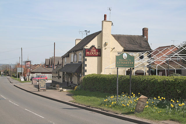
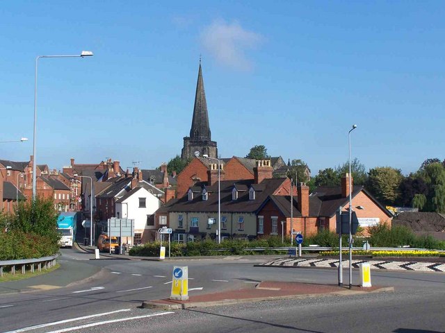
Highwood Images
Images are sourced within 2km of 52.885006/-1.8585416 or Grid Reference SK0931. Thanks to Geograph Open Source API. All images are credited.
Highwood is located at Grid Ref: SK0931 (Lat: 52.885006, Lng: -1.8585416)
Administrative County: Staffordshire
District: East Staffordshire
Police Authority: Staffordshire
What 3 Words
///mash.impact.grinders. Near Uttoxeter, Staffordshire
Nearby Locations
Related Wikis

Uttoxeter Racecourse
Uttoxeter Racecourse is a National Hunt racecourse in Uttoxeter, Staffordshire, England. == Course == Uttoxeter is a left-handed oval shaped course of...
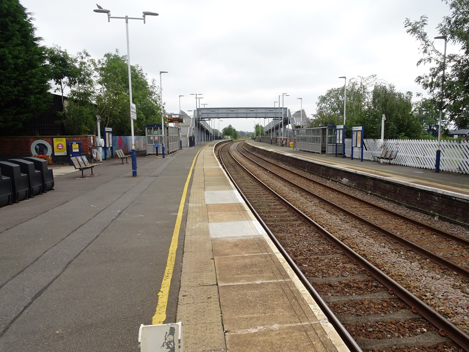
Uttoxeter railway station
Uttoxeter railway station () serves the town of Uttoxeter, Staffordshire, England. It is on the Crewe–Derby line, which is also a Community rail line known...

St Mary's Catholic Church, Uttoxeter
St Mary's Catholic Church is a Roman Catholic church in Uttoxeter, Staffordshire, United Kingdom. It opened in 1839; to avoid confusion with the other...

Uttoxeter
Uttoxeter ( yoo-TOK-sit-ər, locally also UUTCH-it-ər) is a market town and civil parish in the East Staffordshire borough of Staffordshire, England....
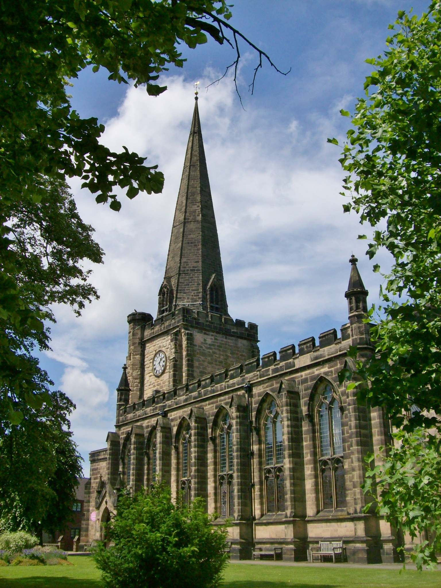
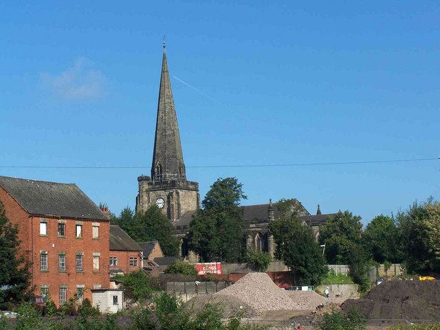
St Mary the Virgin Church, Uttoxeter
St Mary the Virgin's Church, Uttoxeter, commonly called simply St Mary's, is the parish church of the town of Uttoxeter, Staffordshire, England. Its tower...
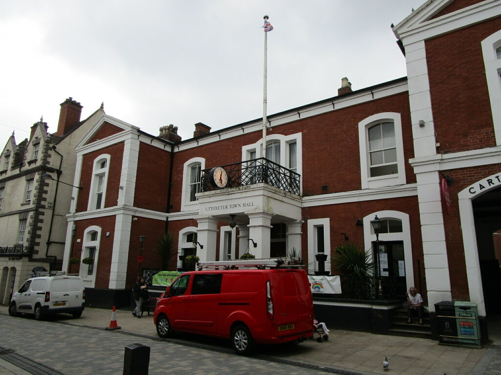
Uttoxeter Town Hall
Uttoxeter Town Hall is a municipal building in the High Street, Uttoxeter, Staffordshire, England. The structure, which serves as the meeting place of...
Thomas Alleyne's High School
Thomas Alleyne's High School (TAHS) is a coeducational upper school and sixth form located in Uttoxeter, Staffordshire, England. It is one of three schools...

Oldfields Ground
Oldfields Ground is a cricket ground in Uttoxeter, Staffordshire. The first recorded match on the ground was in 1905, when Staffordshire played Bedfordshire...
Nearby Amenities
Located within 500m of 52.885006,-1.8585416Have you been to Highwood?
Leave your review of Highwood below (or comments, questions and feedback).