Hill
Settlement in Cornwall
England
Hill
The requested URL returned error: 429 Too Many Requests
If you have any feedback on the listing, please let us know in the comments section below.
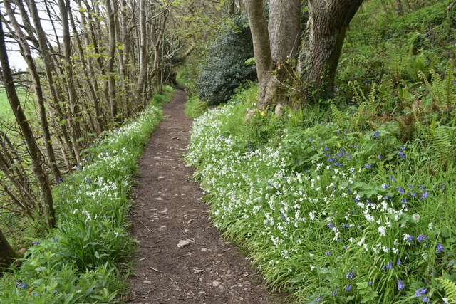
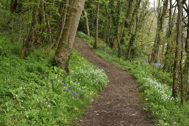
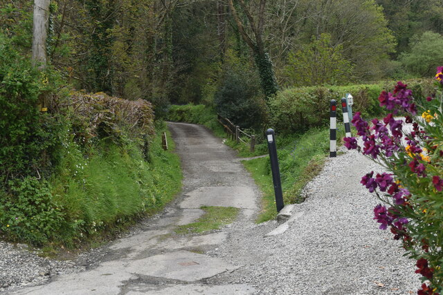
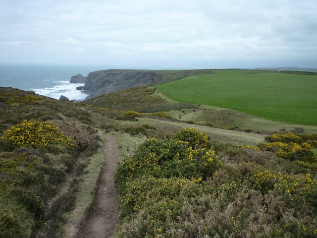
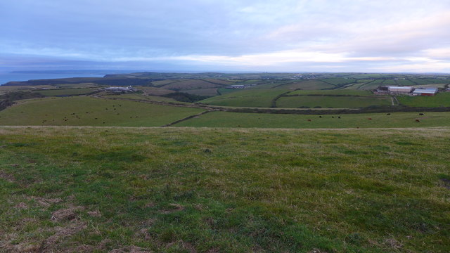
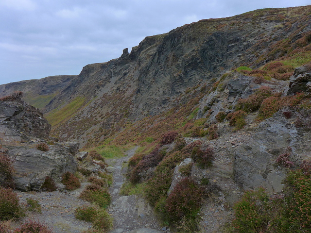
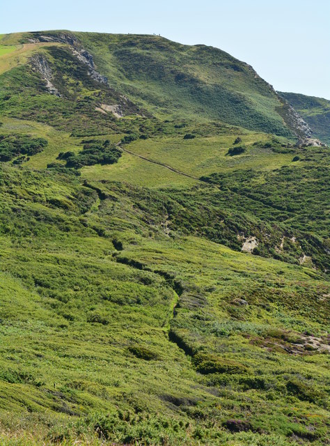
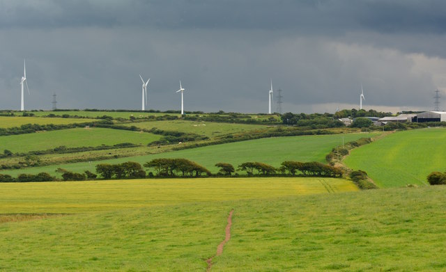
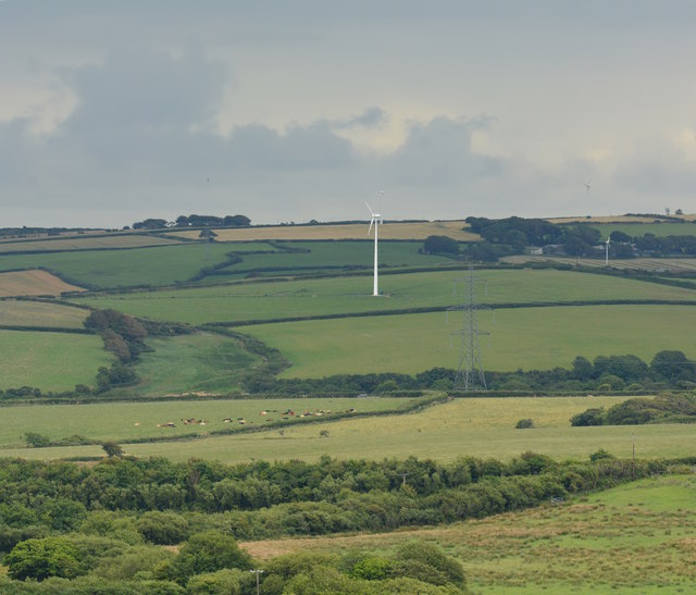
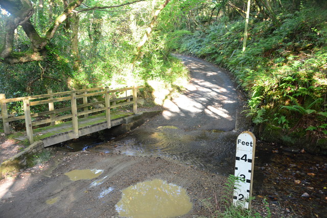
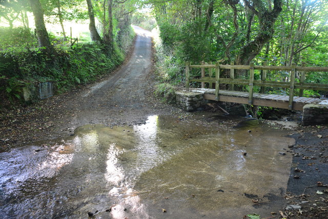
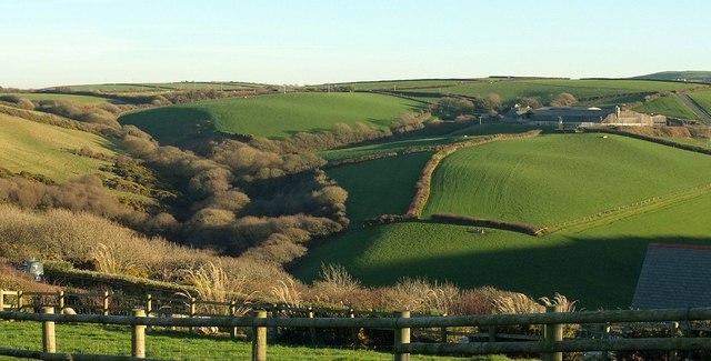
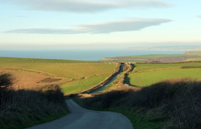
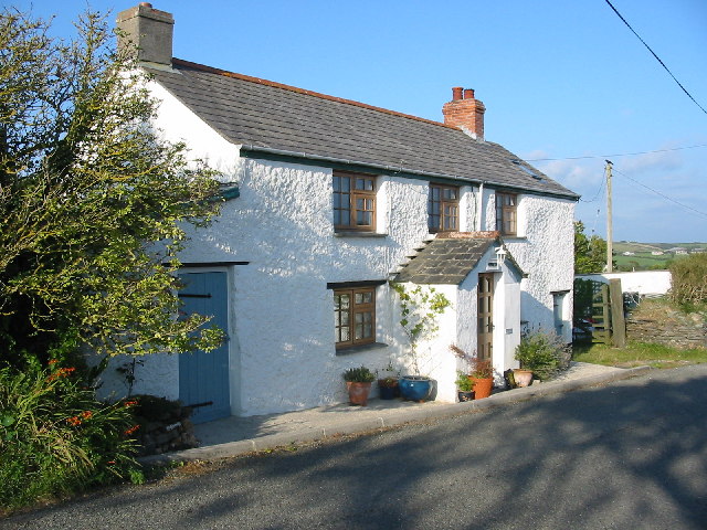
Hill Images
Images are sourced within 2km of 50.722183/-4.6243302 or Grid Reference SX1494. Thanks to Geograph Open Source API. All images are credited.


Hill is located at Grid Ref: SX1494 (Lat: 50.722183, Lng: -4.6243302)
Unitary Authority: Cornwall
Police Authority: Devon and Cornwall
What 3 Words
///streak.mops.subsets. Near Jacobstow, Cornwall
Nearby Locations
Related Wikis
Sweets, Cornwall
Sweets is a hamlet between Middle Crackington and Higher Crackington in north Cornwall, England, United Kingdom. == References ==

Pengold
Pengold is a hamlet near St Gennys in Cornwall, England, UK. Pengold is southwest of Higher Crackington. == References ==

Tresparrett Posts
Tresparrett Posts is a hamlet in the civil parish of St Gennys in north Cornwall, England, United Kingdom. == References ==

Mineshope
Mineshope is a hamlet in the parish of St Gennys, Cornwall, England. == References ==
Nearby Amenities
Located within 500m of 50.722183,-4.6243302Have you been to Hill?
Leave your review of Hill below (or comments, questions and feedback).