Hightown
Settlement in Yorkshire
England
Hightown

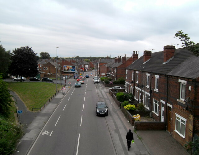
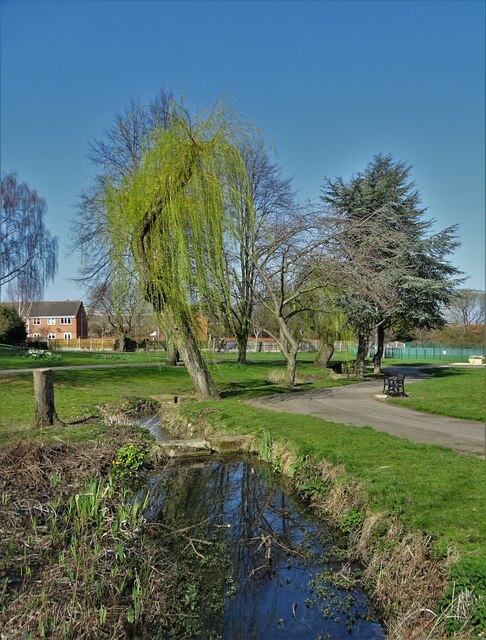
Hightown is a charming village located in the county of Yorkshire, England. Situated in the Metropolitan Borough of Kirklees, it is nestled in the picturesque West Yorkshire countryside. The village is surrounded by rolling hills, meandering streams, and lush green fields, making it an idyllic spot for nature lovers.
With a population of around 2,500 residents, Hightown offers a close-knit community atmosphere. The village is known for its friendly locals who take pride in their community and its heritage. The architecture in Hightown is a mix of traditional stone cottages and modern houses, adding to its unique charm.
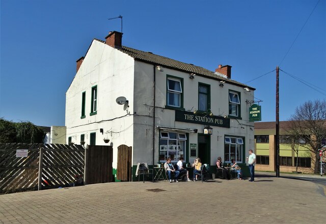
The village has a range of amenities to cater to its residents' needs. It boasts a primary school, a village hall, and a local pub, which serves as a gathering place for residents to relax and socialize. Additionally, Hightown offers convenient access to nearby towns and cities, including Huddersfield and Leeds, which provide a wider range of services and entertainment options.
For those who enjoy outdoor activities, Hightown provides ample opportunities. The surrounding countryside offers scenic walking trails, perfect for exploring the natural beauty of the area. Moreover, the village is located close to the Peak District National Park, allowing residents to enjoy hiking, cycling, and other outdoor pursuits.
In summary, Hightown is a picturesque village in Yorkshire, offering a close-knit community, stunning natural surroundings, and convenient access to nearby amenities. It is a place where residents can enjoy a peaceful and fulfilling lifestyle amidst the beauty of the English countryside.
If you have any feedback on the listing, please let us know in the comments section below.
Hightown Images
Images are sourced within 2km of 53.719198/-1.3635619 or Grid Reference SE4224. Thanks to Geograph Open Source API. All images are credited.


Hightown is located at Grid Ref: SE4224 (Lat: 53.719198, Lng: -1.3635619)
Division: West Riding
Unitary Authority: Wakefield
Police Authority: West Yorkshire
What 3 Words
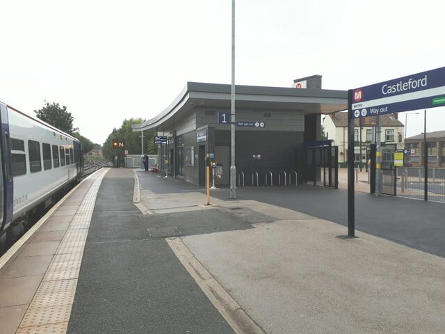
///bottle.label.arrow. Near Castleford, West Yorkshire
Nearby Locations
Related Wikis

Savile Park
Savile Park Cricket Ground on Lumley Street in Castleford held a list A limited overs game in May 1967 when Yorkshire CCC played Cambridgeshire in the...

Normanton, Pontefract and Castleford (UK Parliament constituency)
Normanton, Pontefract and Castleford is a constituency in West Yorkshire represented in the House of Commons of the UK Parliament by Yvette Cooper of the...
Castleford Cutsyke railway station
Castleford Cutsyke railway station served the Cutsyke of Castleford in West Yorkshire, England, from 1860 to 1968 on the Pontefract and Methley Junction...
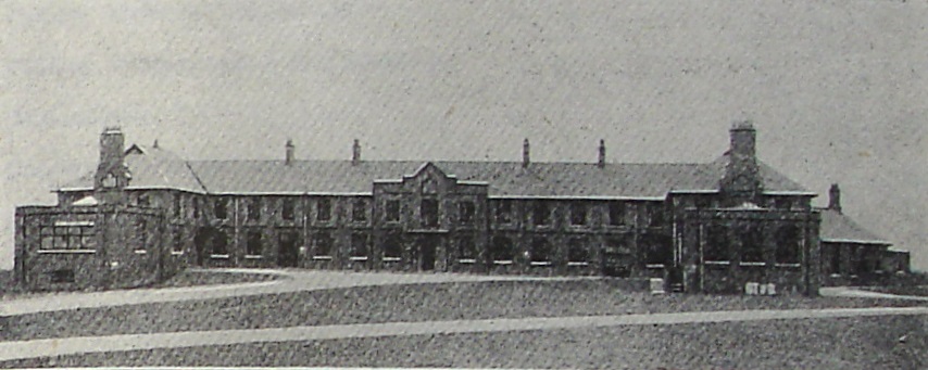
Castleford, Normanton and District Hospital
The Castleford, Normanton and District Hospital was a health facility in Lumley Street, Castleford, West Yorkshire, England. It was managed by South West...
Nearby Amenities
Located within 500m of 53.719198,-1.3635619Have you been to Hightown?
Leave your review of Hightown below (or comments, questions and feedback).