Higham Dykes

Settlement in Northumberland

England

Higham Dykes

A696 lay-by
A696 lay-by Credit: Alex McGregor

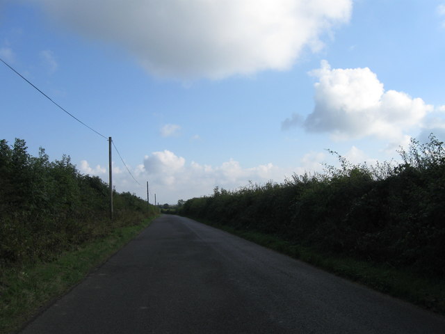
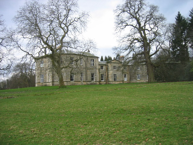
Higham Dykes is a small village located in the county of Northumberland, England. Situated in the rural countryside, it is surrounded by picturesque landscapes and offers a tranquil and idyllic setting for its residents and visitors alike.

The village is known for its rich history, dating back to Roman times. Higham Dykes is believed to have been a significant settlement during the Roman occupation of Britain, with evidence of Roman fortifications and structures still visible in the area. These historical remnants attract archaeology enthusiasts and history buffs to explore and learn about the village's past.

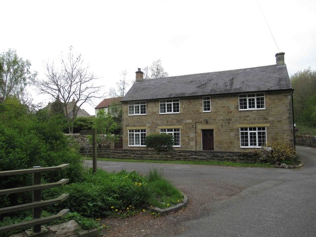
The village itself is characterized by its charming rural architecture, with traditional stone-built houses and cottages lining the streets. The community is tight-knit, and residents take pride in maintaining the village's heritage and preserving its natural beauty.

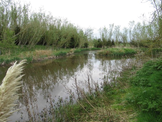
Nature lovers will find plenty to enjoy in Higham Dykes. The village is surrounded by rolling hills, verdant meadows, and meandering streams, providing ample opportunities for outdoor activities such as hiking, cycling, and fishing. The nearby Northumberland National Park offers further exploration opportunities, with its stunning landscapes and diverse wildlife.

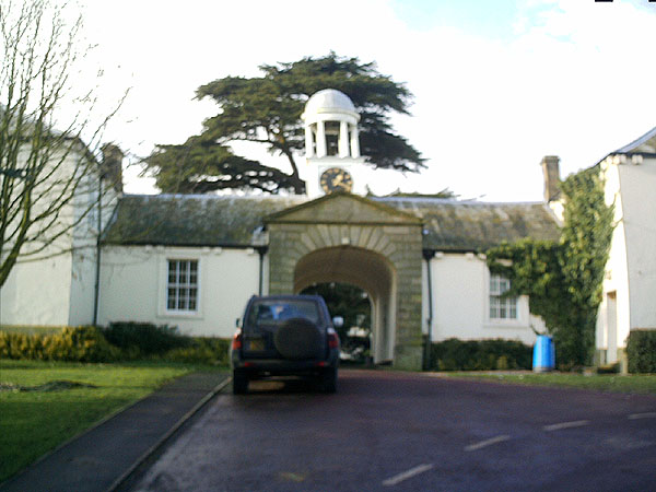
Facilities in Higham Dykes are limited, with only a small number of amenities such as a local pub and a village hall. However, the nearby towns of Hexham and Corbridge provide additional services and amenities for residents and visitors.

In summary, Higham Dykes is a charming and historically significant village nestled in the Northumberland countryside. Its rich history, natural beauty, and close-knit community make it an appealing destination for those seeking a peaceful and scenic retreat.

If you have any feedback on the listing, please let us know in the comments section below.

Higham Dykes Images

Images are sourced within 2km of 55.072515/-1.7920928 or Grid Reference NZ1375. Thanks to Geograph Open Source API. All images are credited.

A696 lay-by
A696 lay-by
Country road
Country road
Country road
Country road
Melbourne Church Viewed from the road totter south
Melbourne Church
Viewed from the road totter south
Old Milepost by the A696, Milbourne, Ponteland Parish Metal post with attached metal plate by the A696, in parish of PONTELAND (CASTLE MORPETH District), Milbourne, just North of "Waggon Inn" PH, on grass verge, on West side of road. Smith Patterson iron shield, erected by the Ponteland turnpike trust in the 19th century. 

Inscription reads:-
: NEWCASTLE / {arrow to left} 11 / BELSAY / 2¾ {arrow to right} : : PONTELAND / 3 :
Maker:-
: SMITH PATTERSON / & CO / BLAYDON :

Milestone Society National ID: NB_NCBS11.
Old Milepost by the A696, Milbourne, Ponteland Parish
Metal post with attached metal plate by the A696, in parish of PONTELAND (CASTLE MORPETH District), Milbourne, just North of "Waggon Inn" PH, on grass verge, on West side of road. Smith Patterson iron shield, erected by the Ponteland turnpike trust in the 19th century. Inscription reads:- : NEWCASTLE / {arrow to left} 11 / BELSAY / 2¾ {arrow to right} : : PONTELAND / 3 : Maker:- : SMITH PATTERSON / & CO / BLAYDON : Milestone Society National ID: NB_NCBS11.
Old Milepost by the A696, north of West Coldcoats Bridge, Ponteland Smith Patterson iron shield by the A696, in parish of Ponteland (Castle Morpeth District), near Milbourne turn, by the West side of road.

May be lost.

Inscription reads:-
NEWcASTLE
{<-arrow} 10
BELSAY
3¾ {arrow->}
PONTELAND
2
Maker:-
SMITH PATTERSON 
& CO
BLAYDON

Milestone Society National ID: NB_NCBS10
Old Milepost by the A696, north of West Coldcoats Bridge, Ponteland
Smith Patterson iron shield by the A696, in parish of Ponteland (Castle Morpeth District), near Milbourne turn, by the West side of road. May be lost. Inscription reads:- NEWcASTLE {<-arrow} 10 BELSAY 3¾ {arrow->} PONTELAND 2 Maker:- SMITH PATTERSON & CO BLAYDON Milestone Society National ID: NB_NCBS10
The Highlander Inn Sadly The Highlander has been closed for a number of years like to so many country pubs/inns.
The Highlander Inn
Sadly The Highlander has been closed for a number of years like to so many country pubs/inns.
Victorian Post Box Next to The Highlander --- I doubt if there are any holiday postcards sent from here at the moment.
Victorian Post Box
Next to The Highlander --- I doubt if there are any holiday postcards sent from here at the moment.
East Newham Farmhouse Distinctive red brick houses similar to this one are quite prevalent in this area,
East Newham Farmhouse
Distinctive red brick houses similar to this one are quite prevalent in this area,
Overgrown Path through Small Copse We were following an old leaflet and we weren&amp;#039;t quite certain if we could skirt the copse.  eventually we ventured in where there a pond and the leaflet was correct although the path was overgrown even down to the &amp;quot;plank bridge (rickety)&amp;quot;.  Stile obviously in need of repair.
Overgrown Path through Small Copse
We were following an old leaflet and we weren't quite certain if we could skirt the copse. eventually we ventured in where there a pond and the leaflet was correct although the path was overgrown even down to the "plank bridge (rickety)". Stile obviously in need of repair.
Decoy Pond Not very accessible
Decoy Pond
Not very accessible
Plank Footbridge as Described in Leaflet
Crop Spraying (hopefully Eco friendly) The line of the footpath is clearly marked.
Crop Spraying (hopefully Eco friendly)
The line of the footpath is clearly marked.
East Newham Farmhouse
The Bothie, Milbourne
Road Bridge over the Mill Burn
House close to the Mill Burn
Methodist Church at Milbourne
Show me another place!

Higham Dykes is located at Grid Ref: NZ1375 (Lat: 55.072515, Lng: -1.7920928)

Unitary Authority: Northumberland

Police Authority: Northumbria

What 3 Words

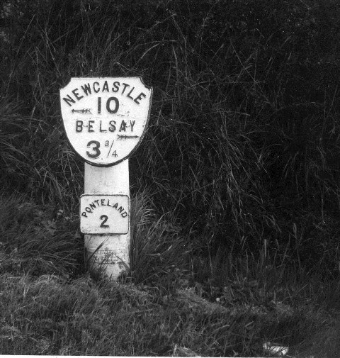
///warping.kilt.wiped. Near Ponteland, Northumberland

Nearby Locations

Higham Dykes

Related Wikis

Milbourne Hall

Milbourne Hall is a privately owned mansion house at Milbourne, near Ponteland, Northumberland, England, which has Grade I listed building status.The Bates...

Kirkley Hall

Kirkley Hall is a 17th-century historic country mansion and Grade II listed building in Northumberland, England. The estate is over 190 acres (0.77 km2...

Ogle, Northumberland

Ogle is a village in and former civil parish, now in the parish of Whalton, Northumberland, England, north-west of Ponteland and south-west of Morpeth...

Castle Ward Rural District

Castle Ward was a rural district of the administrative county of Northumberland, England from 1894 to 1974, covering an area north-west of the city of...

Have you been to Higham Dykes?

Leave your review of Higham Dykes below (or comments, questions and feedback).