High Side
Settlement in Cumberland Allerdale
England
High Side
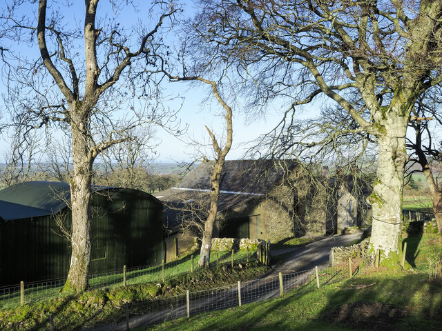
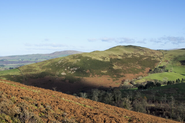
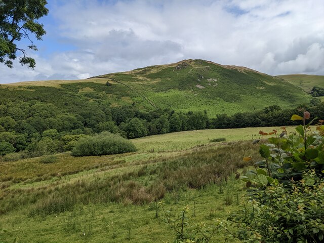
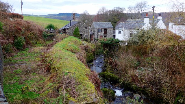
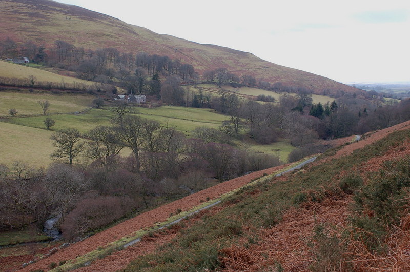
High Side is a small settlement located in Cumberland, a historic county in the northwest of England. Situated on the eastern edge of the Lake District National Park, High Side is nestled within the scenic countryside, offering breathtaking views of rolling hills, lush meadows, and picturesque valleys.
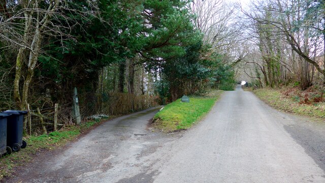
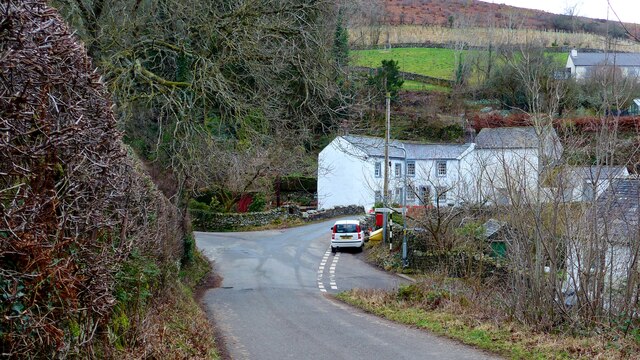
With a population of around 200 residents, High Side exudes a quaint and peaceful charm. The settlement primarily consists of traditional stone cottages, some dating back several centuries, which add to the area's rustic appeal. The community is tight-knit, fostering a friendly and welcoming atmosphere for both residents and visitors.
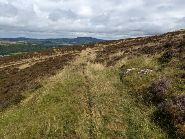
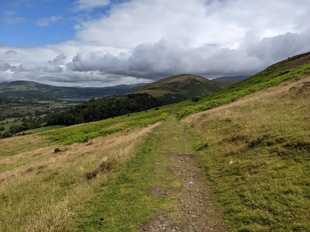
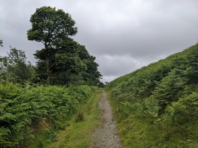
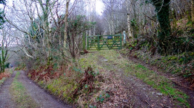
Nature enthusiasts will find themselves in paradise in and around High Side. The surrounding area boasts numerous walking trails, allowing hikers to explore the breathtaking landscapes and encounter an array of flora and fauna. Additionally, the nearby Lake District National Park offers endless opportunities for outdoor activities, including boating, fishing, and birdwatching.
While High Side is predominantly residential, the nearby town of Keswick provides a range of amenities and services for residents. From supermarkets and shops to restaurants and pubs, Keswick is just a short drive away and ensures that residents have easy access to everyday necessities and entertainment options.
Overall, High Side offers a tranquil and idyllic place to reside, combining the beauty of the Lake District with the warmth of a close-knit community. Its stunning natural surroundings and proximity to amenities make it a desirable location for those seeking a peaceful yet accessible countryside retreat.
If you have any feedback on the listing, please let us know in the comments section below.
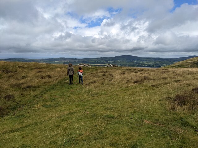
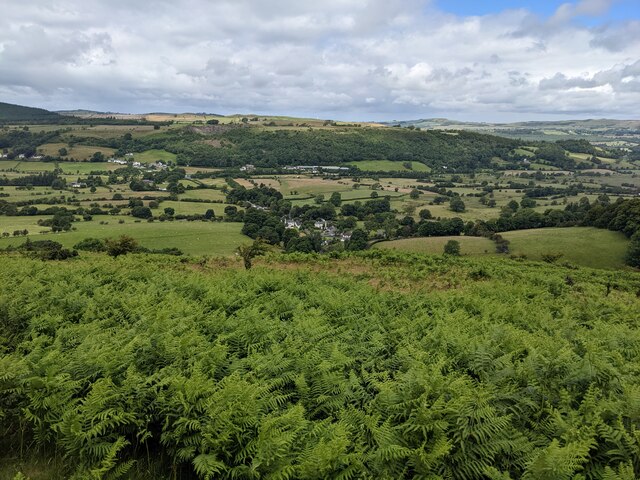
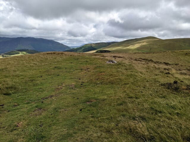
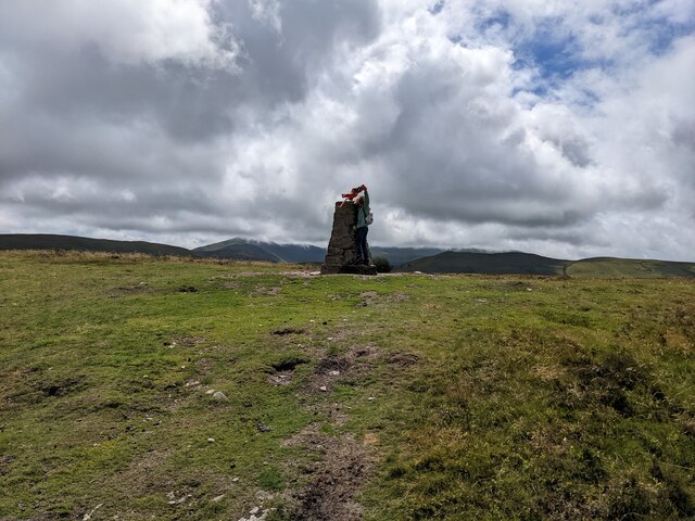
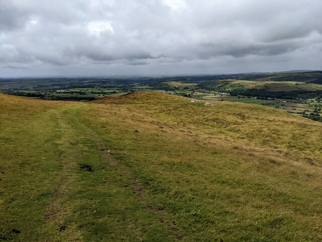
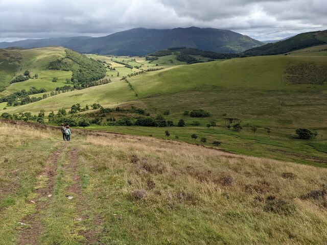
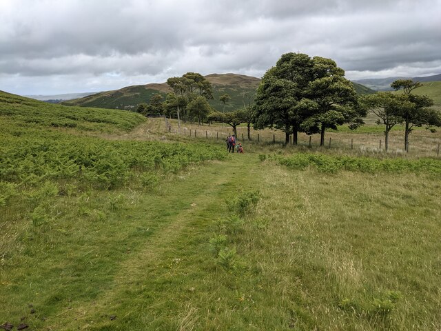
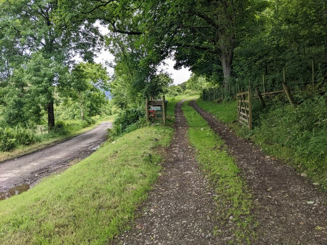
High Side Images
Images are sourced within 2km of 54.646636/-3.2906623 or Grid Reference NY1628. Thanks to Geograph Open Source API. All images are credited.
High Side is located at Grid Ref: NY1628 (Lat: 54.646636, Lng: -3.2906623)
Administrative County: Cumbria
District: Allerdale
Police Authority: Cumbria
What 3 Words
///shortens.tumblers.glider. Near Cockermouth, Cumbria
Related Wikis

Ling Fell
Ling Fell is a small hill in the north west of the Lake District in the United Kingdom. It is close to the village of Wythop Mill, from where it can easily...

Embleton, Cumbria
Embleton is a small village and civil parish located in the Allerdale district in Cumbria, England. It is located east of Cockermouth on the A66 road,...

Embleton railway station
Embleton railway station was situated on the Cockermouth, Keswick and Penrith Railway between Penrith and Cockermouth in Cumberland (now in Cumbria), England...
Wythop
Wythop is a civil parish in the north of Cumbria, England, between Cockermouth and Keswick. Population details are no longer maintained and can be found...

Armaside
Armaside is an agricultural village in Cumbria, England, situated north of Low Lorton, south west of the River Cocker, and south east from Cockermouth...

Graystones
Graystones is a fell in the English Lake District. It lies in the North Western Fells region and is one of the peaks on the ridge which encircles the valley...
Slate Fell
Slate Fell is a low hill in the North Western part of the English Lake District. It lies only about a mile from the busy market town of Cockermouth, and...

Sale Fell
Sale Fell is a small hill near Cockermouth in the English Lake District. It is popular with locals, as it offers gentle walking and lovely views across...
Nearby Amenities
Located within 500m of 54.646636,-3.2906623Have you been to High Side?
Leave your review of High Side below (or comments, questions and feedback).