High Seaton

Settlement in Cumberland Allerdale

England

High Seaton

Footpath towards Barepot A muddy footpath across a wooded hillside between Low Seaton and Barepot.
Footpath towards Barepot Credit: Graham Robson

High Seaton is a small village located in the county of Cumberland, in the northwest region of England. Situated near the coast, it lies approximately 3 miles northwest of the town of Workington. With a population of around 1,500 people, High Seaton is a close-knit community that offers a tranquil and picturesque setting.

The village is known for its stunning natural surroundings, being nestled between the picturesque Solway Firth and the rolling hills of the Lake District National Park. This location provides residents and visitors with breathtaking views and ample opportunities for outdoor activities such as hiking, cycling, and birdwatching.

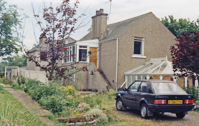
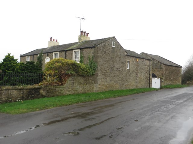
High Seaton has a rich history dating back centuries. The village features a mix of traditional stone-built cottages and more modern housing developments. It is also home to a charming parish church, St. Cuthbert's, which dates back to the 12th century and is a popular attraction for history enthusiasts.

The village boasts a range of amenities to cater to its residents' needs. These include a primary school, a community center, a local pub, and a few shops. For further amenities and services, the larger town of Workington is easily accessible, offering a wider range of shops, restaurants, and leisure facilities.

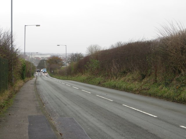
High Seaton benefits from good transportation links, with regular bus services connecting the village to nearby towns and cities. The A596 road runs close by, providing convenient access to the wider region.

Overall, High Seaton offers a peaceful and idyllic lifestyle, with its beautiful surroundings and strong community spirit making it a desirable place to live or visit.

If you have any feedback on the listing, please let us know in the comments section below.
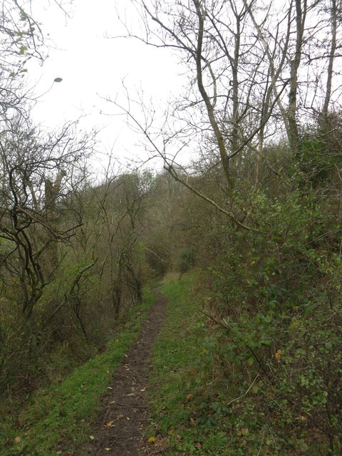
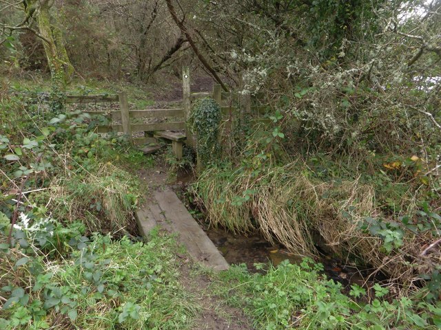
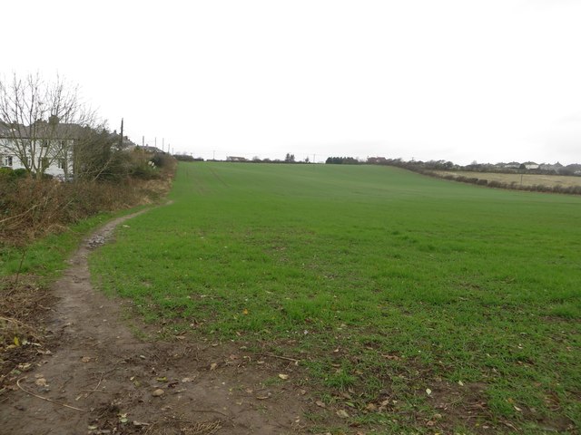
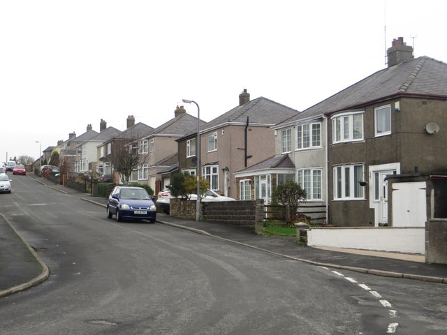
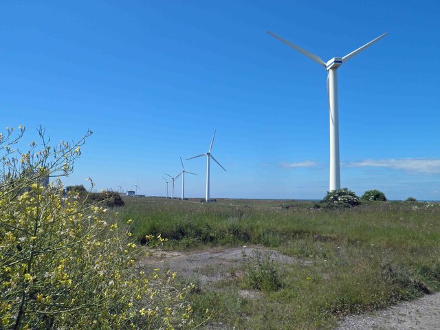
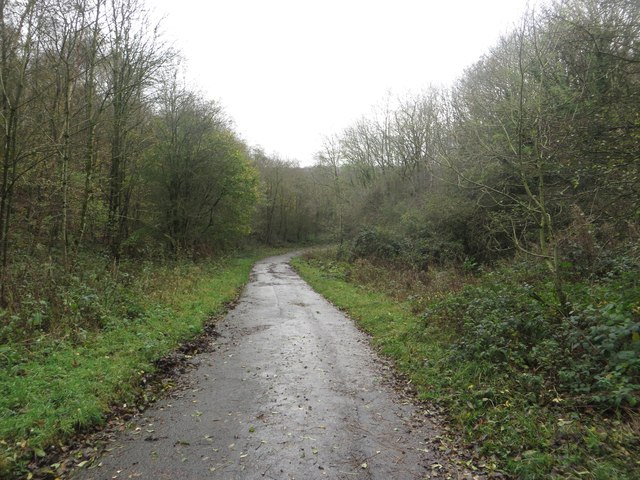
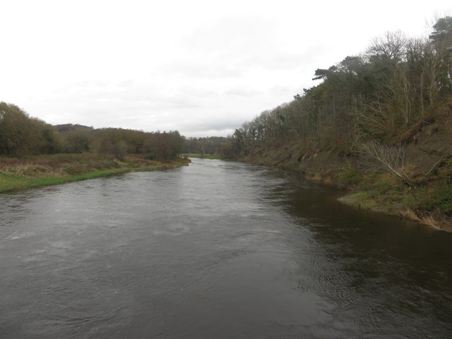
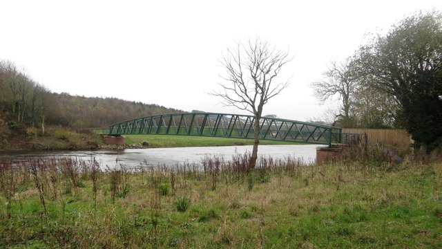
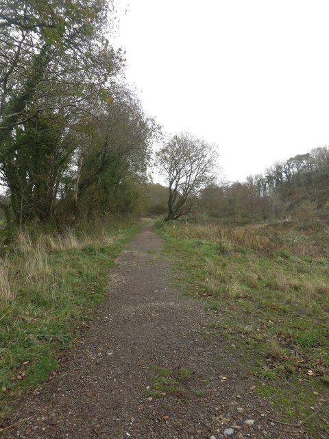
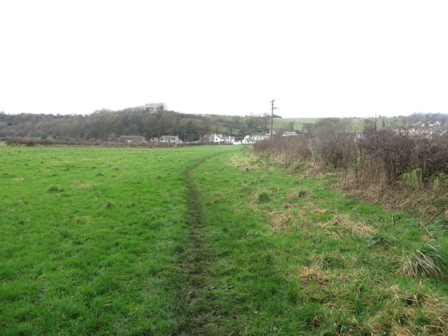
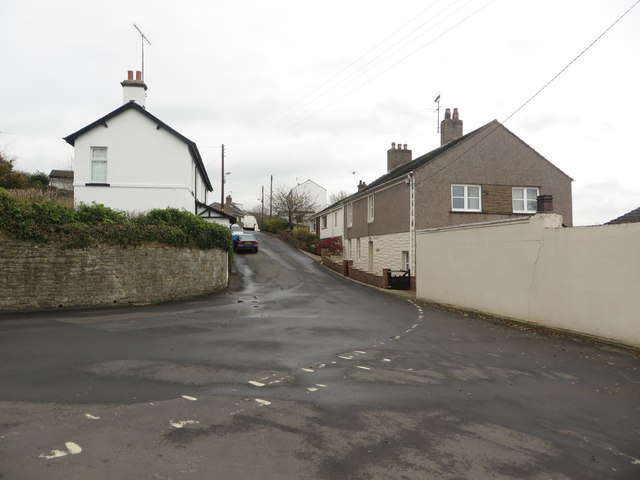
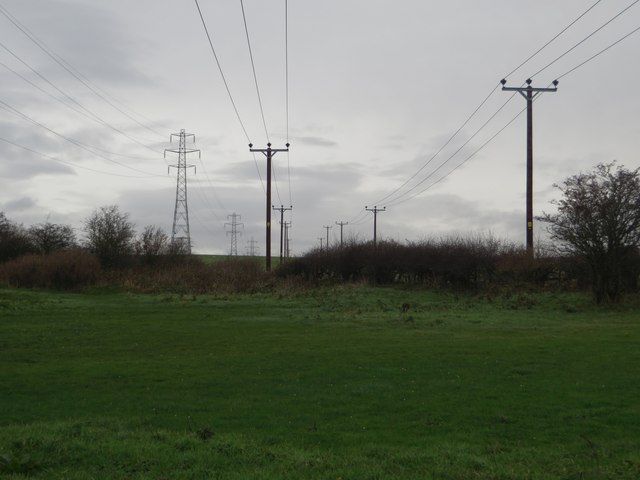
High Seaton Images

Images are sourced within 2km of 54.666022/-3.518522 or Grid Reference NY0231. Thanks to Geograph Open Source API. All images are credited.

Footpath towards Barepot A muddy footpath across a wooded hillside between Low Seaton and Barepot.
Footpath towards Barepot
A muddy footpath across a wooded hillside between Low Seaton and Barepot.
Footbridge over Gale Brook An old railway sleeper has been used to form a footbridge over Gale Brook.
Footbridge over Gale Brook
An old railway sleeper has been used to form a footbridge over Gale Brook.
Arable field on the edge of Hawk Hill An arable field sown with a winter cereal crop on the edge of Hawk Hill.
Arable field on the edge of Hawk Hill
An arable field sown with a winter cereal crop on the edge of Hawk Hill.
Coronation Avenue, Hawk Hill A quiet residential street of semi detached, houses.
Coronation Avenue, Hawk Hill
A quiet residential street of semi detached, houses.
Princess Avenue, Hawk Hill A quiet residential street in the village on the north bank of the River Derwent.
Princess Avenue, Hawk Hill
A quiet residential street in the village on the north bank of the River Derwent.
Workington Road, Hawk Hill Looking down the hill towards Workington.
Workington Road, Hawk Hill
Looking down the hill towards Workington.
Camerton station (remains), 1986 View eastward, towards Cockermouth and Penrith: ex-LNW Workington - Cockermouth - Penrith line. The line was closed - quite wrongly it is now believed - from 18/4/66, but the station had gone from 3/3/52 so all that can be seen here is some platform. The house on the right with the Ford Cortina might have been the station house, but if so it has been altered.
Camerton station (remains), 1986
View eastward, towards Cockermouth and Penrith: ex-LNW Workington - Cockermouth - Penrith line. The line was closed - quite wrongly it is now believed - from 18/4/66, but the station had gone from 3/3/52 so all that can be seen here is some platform. The house on the right with the Ford Cortina might have been the station house, but if so it has been altered.
A finger post on St Helens (road) The Bridleway leads to High Seaton. The wind turbines are alongside the A596.
A finger post on St Helens (road)
The Bridleway leads to High Seaton. The wind turbines are alongside the A596.
Windmills at Siddick
Wind farm St Helens form the coastal path
Footpath between Great Clifton and Camerton Looking along the road from Great Clifton to the River Derwent which is also a footpath connecting the village with Camerton across the River Eden.
Footpath between Great Clifton and Camerton
Looking along the road from Great Clifton to the River Derwent which is also a footpath connecting the village with Camerton across the River Eden.
Looking along the River Eden from Camerton Bridge Looking upstream along the River Eden from Camerton Bridge.
Looking along the River Eden from Camerton Bridge
Looking upstream along the River Eden from Camerton Bridge.
Camerton Bridge The footbridge carries a path between Great Clifton and Camerton over the River Eden. A former bridge on the site <a href="https://www.geograph.org.uk/photo/567711">NY0330 : Footbridge over River Derwent</a> was washed away by the floods of November 2009. The new bridge was opened in December 2012. <span class="nowrap"><a title="http://www.timesandstar.co.uk/news/other/new-camerton-bridge-is-putting-communities-back-together-1.1022190" rel="nofollow ugc noopener" href="http://www.timesandstar.co.uk/news/other/new-camerton-bridge-is-putting-communities-back-together-1.1022190">Link</a><img style="margin-left:2px;" alt="External link" title="External link - shift click to open in new window" src="https://s1.geograph.org.uk/img/external.png" width="10" height="10"/></span>
Camerton Bridge
The footbridge carries a path between Great Clifton and Camerton over the River Eden. A former bridge on the site NY0330 : Footbridge over River Derwent was washed away by the floods of November 2009. The new bridge was opened in December 2012. LinkExternal link
Footpath alongside the River Eden A well made footpath connecting the footbridge over the River Eden with Camerton.
Footpath alongside the River Eden
A well made footpath connecting the footbridge over the River Eden with Camerton.
Footpath south of Camerton A field edge footpath connects the River Eden and Camerton.
Footpath south of Camerton
A field edge footpath connects the River Eden and Camerton.
The main road through Camerton The main road through Camerton, a small village on the north bank of the River Eden.
The main road through Camerton
The main road through Camerton, a small village on the north bank of the River Eden.
Power lines west of Camerton A trio of power lines passing over a grass field to the west of Camerton.
Power lines west of Camerton
A trio of power lines passing over a grass field to the west of Camerton.
Derwent Gardens, Seaton A large house dating from 1842 on the road between Camerton and Seaton. The house is grade II listed, link to English Heritage website here: <span class="nowrap"><a title="http://list.english-heritage.org.uk/resultsingle.aspx?uid=1312126" rel="nofollow ugc noopener" href="http://list.english-heritage.org.uk/resultsingle.aspx?uid=1312126">Link</a><img style="margin-left:2px;" alt="External link" title="External link - shift click to open in new window" src="https://s1.geograph.org.uk/img/external.png" width="10" height="10"/></span>
Derwent Gardens, Seaton
A large house dating from 1842 on the road between Camerton and Seaton. The house is grade II listed, link to English Heritage website here: LinkExternal link
Show me another place!

High Seaton is located at Grid Ref: NY0231 (Lat: 54.666022, Lng: -3.518522)

Administrative County: Cumbria

District: Allerdale

Police Authority: Cumbria

What 3 Words

///pinks.echo.trapdoor. Near Flimby, Cumbria

Nearby Locations

High Seaton

Related Wikis

Seaton, Cumbria

Seaton is a large village and civil parish in Cumbria, England. Historically part of Cumberland, near the Lake District National Park in England. It is...

Seaton railway station (Cumbria)

Seaton railway station served the village of Seaton, near Workington in Cumberland (now in Cumbria), England. The station was opened by the Cleator and...

Camerton Colliery Halt railway station

Camerton Colliery Halt railway station was an unadvertised halt for workers at one or both of the collieries at Camerton, near Cockermouth in Cumberland...

Camerton, Cumbria

Camerton is a small village and civil parish in Cumbria, historically part of Cumberland, near the Lake District National Park in England. According to...

Nearby Amenities

Located within 500m of 54.666022,-3.518522
Bus Stop
Hunters Drive
Naptan AtcoCode: 090002470312
Naptan Bearing: S
Naptan CommonName: Hunters Drive
Naptan Indicator: opp
Naptan Landmark: junction with Ling Road
Naptan NaptanCode: cumagmdj
Naptan Street: Hunters Drive
Naptan Verified: no
Source: naptan_import
Lat/Long: 54.6644281/-3.5219801
Bus Stop
Main Road at playround (W bound)
Bench: no
Covered: no
Naptan AtcoCode: 090002470319
Naptan Bearing: W
Naptan CommonName: Main Road at playround (W bound)
Naptan Indicator: o/s
Naptan Landmark: no. 29
Naptan NaptanCode: cumagmdt
Naptan Street: Main Road
Naptan Verified: no
Shelter: no
Source: naptan_import
Lat/Long: 54.6646073/-3.5198781
Main Road at playground (E bound)
Naptan AtcoCode: 090002470322
Naptan Bearing: E
Naptan BusStopType: CUS
Naptan CommonName: Main Road at playground (E bound)
Naptan Indicator: opp
Naptan Landmark: no. 29
Naptan NaptanCode: cumagmdw
Naptan Street: Main Road
Naptan Verified: no
Source: naptan_import
Lat/Long: 54.6648797/-3.5196557
Bus Stop
Coachman PH (E bound)
Bench: no
Covered: no
Naptan AtcoCode: 090002470327
Naptan Bearing: E
Naptan CommonName: Coachman PH (E bound)
Naptan Indicator: near
Naptan Landmark: the Coachman PH
Naptan NaptanCode: cumagmga
Naptan Street: No name
Naptan Verified: no
Shelter: no
Source: naptan_import
Lat/Long: 54.668039/-3.5157109
Bus Stop
Coachman PH (W bound)
Bench: no
Covered: yes
Naptan AtcoCode: 090002471244
Naptan Bearing: W
Naptan CommonName: Coachman PH (W bound)
Naptan Indicator: opp
Naptan Landmark: the Coachman PH
Naptan NaptanCode: cumagmgm
Naptan Street: No name
Naptan Verified: no
Source: naptan_import
Lat/Long: 54.6677993/-3.5158156
Power: tower
Source: Bing
Lat/Long: 54.667653/-3.5124862
Power: tower
Source: Bing
Lat/Long: 54.6694637/-3.5136341
Turning Circle
Lat/Long: 54.6655699/-3.5208393
Turning Circle
Lat/Long: 54.6682038/-3.520732
Turning Circle
Lat/Long: 54.6654179/-3.5258604
Turning Circle
Lat/Long: 54.6661625/-3.5209037
Turning Circle
Lat/Long: 54.6677096/-3.5214657
Turning Circle
Lat/Long: 54.6684706/-3.5168107
Turning Circle
Lat/Long: 54.666724/-3.520158
Power: tower
Lat/Long: 54.6641835/-3.5122993
Power: tower
Lat/Long: 54.6659256/-3.51239
Power: tower
Lat/Long: 54.6689381/-3.5231719
Power: tower
Lat/Long: 54.6700975/-3.5193768
Post Box
Ref: CA14 184
Lat/Long: 54.6678813/-3.5157355
Bench
Lat/Long: 54.664037/-3.5213175
Bench
Lat/Long: 54.6643333/-3.5208052
Bench
Lat/Long: 54.6645349/-3.5210037
Whitestiles
Place: locality
Lat/Long: 54.6680513/-3.519494
Barrier: kissing_gate
Lat/Long: 54.6619037/-3.5179029
Generator Method: photovoltaic
Generator Orientation: south_east
Generator Output Electricity: yes
Generator Solar Modules: 12
Generator Source: solar
Generator Type: solar_photovoltaic_panel
Location: roof
Power: generator
Lat/Long: 54.6633765/-3.5227545
Generator Method: photovoltaic
Generator Orientation: south_east
Generator Output Electricity: yes
Generator Solar Modules: 15
Generator Source: solar
Generator Type: solar_photovoltaic_panel
Location: roof
Power: generator
Lat/Long: 54.6637337/-3.5220588
Generator Method: photovoltaic
Generator Orientation: south_east
Generator Output Electricity: yes
Generator Solar Modules: 16
Generator Source: solar
Generator Type: solar_photovoltaic_panel
Location: roof
Power: generator
Lat/Long: 54.6629028/-3.522211
Generator Method: photovoltaic
Generator Orientation: south_west
Generator Output Electricity: yes
Generator Solar Modules: 9
Generator Source: solar
Generator Type: solar_photovoltaic_panel
Location: roof
Power: generator
Lat/Long: 54.66266/-3.5198379
Generator Method: photovoltaic
Generator Orientation: south_east
Generator Output Electricity: yes
Generator Solar Modules: 12
Generator Source: solar
Generator Type: solar_photovoltaic_panel
Location: roof
Power: generator
Lat/Long: 54.6648921/-3.5222768
Generator Method: photovoltaic
Generator Orientation: south_east
Generator Output Electricity: yes
Generator Solar Modules: 12
Generator Source: solar
Generator Type: solar_photovoltaic_panel
Location: roof
Power: generator
Lat/Long: 54.6657222/-3.5204226
Generator Method: photovoltaic
Generator Orientation: south_east
Generator Output Electricity: yes
Generator Solar Modules: 12
Generator Source: solar
Generator Type: solar_photovoltaic_panel
Location: roof
Power: generator
Lat/Long: 54.6657761/-3.5203516
Generator Method: photovoltaic
Generator Orientation: east
Generator Output Electricity: yes
Generator Solar Modules: 8
Generator Source: solar
Generator Type: solar_photovoltaic_panel
Location: roof
Power: generator
Lat/Long: 54.666538/-3.5192013
Generator Method: photovoltaic
Generator Orientation: west
Generator Output Electricity: yes
Generator Solar Modules: 8
Generator Source: solar
Generator Type: solar_photovoltaic_panel
Location: roof
Power: generator
Lat/Long: 54.6665417/-3.5192481
Generator Method: photovoltaic
Generator Orientation: south_west
Generator Output Electricity: yes
Generator Solar Modules: 15
Generator Source: solar
Generator Type: solar_photovoltaic_panel
Location: roof
Power: generator
Lat/Long: 54.6686475/-3.5166484
Generator Method: photovoltaic
Generator Orientation: south_west
Generator Output Electricity: yes
Generator Solar Modules: 15
Generator Source: solar
Generator Type: solar_photovoltaic_panel
Location: roof
Power: generator
Lat/Long: 54.6686092/-3.5165973
Generator Method: photovoltaic
Generator Orientation: west
Generator Output Electricity: yes
Generator Solar Modules: 18
Generator Source: solar
Generator Type: solar_photovoltaic_panel
Location: roof
Power: generator
Lat/Long: 54.6683011/-3.5165266
Power: pole
Lat/Long: 54.6627674/-3.5142708
Power: pole
Lat/Long: 54.6634261/-3.514153
Power: pole
Lat/Long: 54.664496/-3.5139132
Power: pole
Lat/Long: 54.6651631/-3.5129314
Power: pole
Lat/Long: 54.6658313/-3.5131712
Power: pole
Lat/Long: 54.666515/-3.5133861
Power: pole
Lat/Long: 54.667194/-3.5136466
Power: pole
Lat/Long: 54.667953/-3.5138698
Power: pole
Lat/Long: 54.6689176/-3.5138946
Power: pole
Lat/Long: 54.6679704/-3.5122628
The data included in this document is from www.openstreetmap.org. The data is made available under ODbL.

Have you been to High Seaton?

Leave your review of High Seaton below (or comments, questions and feedback).