High Leigh

Settlement in Hertfordshire Broxbourne

England

High Leigh

The A10, Broxbourne
The A10, Broxbourne Credit: David Howard

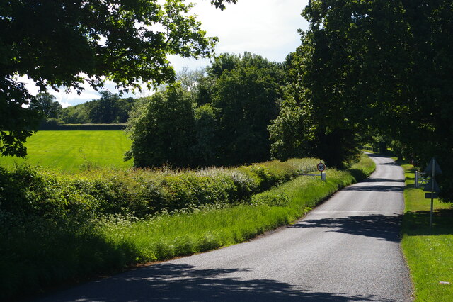
High Leigh is a picturesque village located in the county of Hertfordshire, England. Situated approximately 3 miles east of Hoddesdon, it lies within the district of Broxbourne. The village is known for its tranquil atmosphere, stunning rural landscapes, and historic charm.

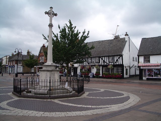
High Leigh boasts a rich history that dates back centuries. It is believed that the village was established in the medieval period, and evidence of this can still be seen in the beautiful architecture of its buildings. The village is home to a number of listed buildings, including the Church of St. Mary the Virgin, which dates back to the 12th century and showcases exquisite Norman architecture.

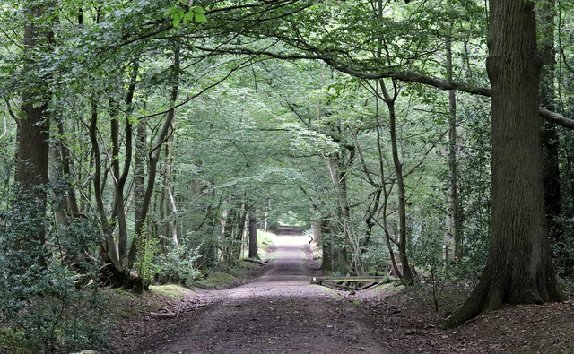
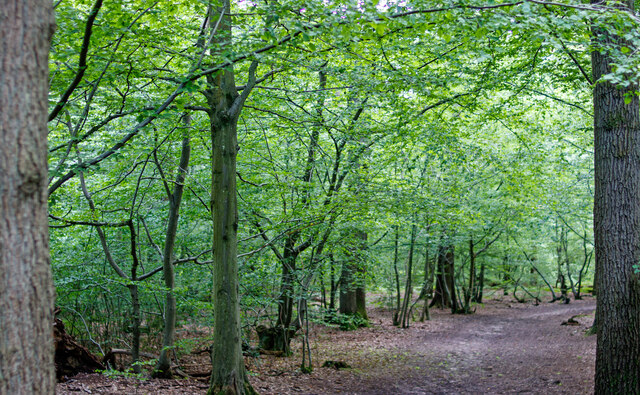
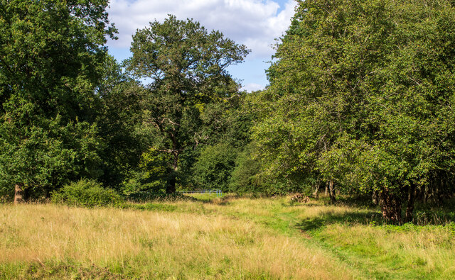
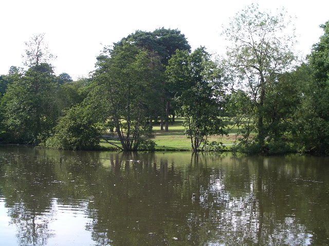
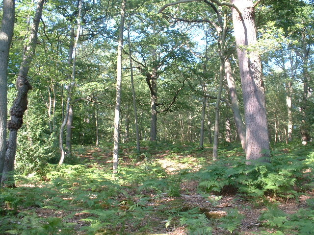
The natural beauty of High Leigh is a major draw for both locals and visitors alike. The village is surrounded by lush green fields and rolling countryside, offering plenty of opportunities for outdoor activities such as walking, hiking, and picnicking. There are also several nature reserves in the area, providing habitats for a diverse range of flora and fauna.

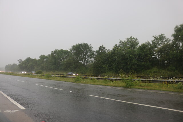
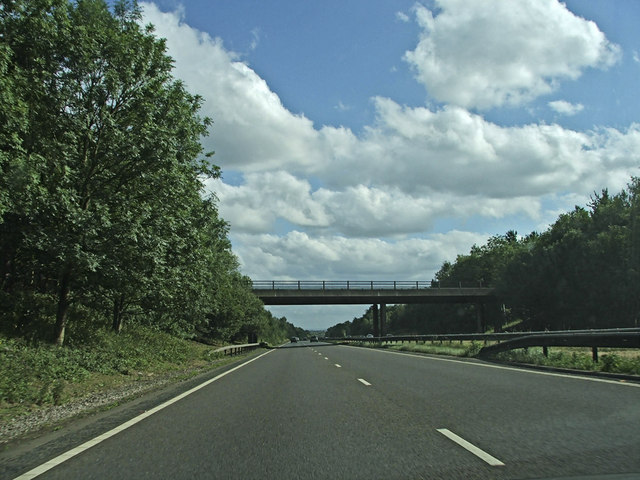
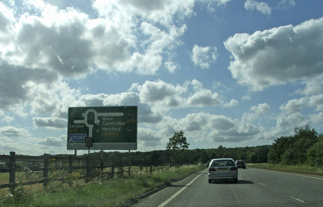
Despite its rural setting, High Leigh benefits from excellent transport links. The village is conveniently located near major road networks, including the A10 and M25, making it easily accessible for commuters and those looking to explore the wider region. The nearby towns of Hoddesdon and Hertford offer a range of amenities, including shops, restaurants, and leisure facilities.

Overall, High Leigh is a charming and idyllic village that combines natural beauty with a rich history. It offers a peaceful retreat from the hustle and bustle of city life, while still providing easy access to modern conveniences.

If you have any feedback on the listing, please let us know in the comments section below.
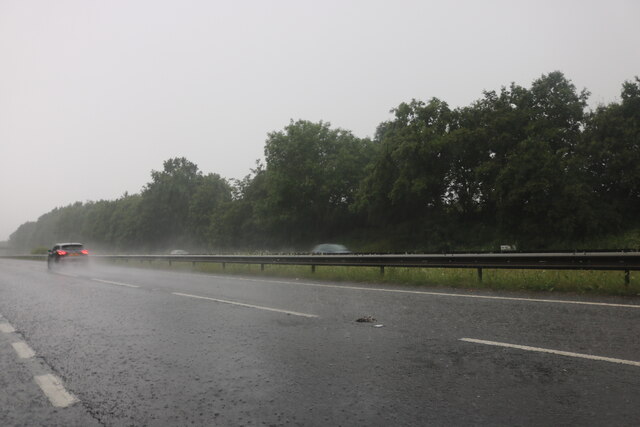
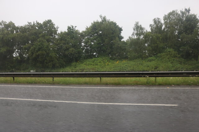
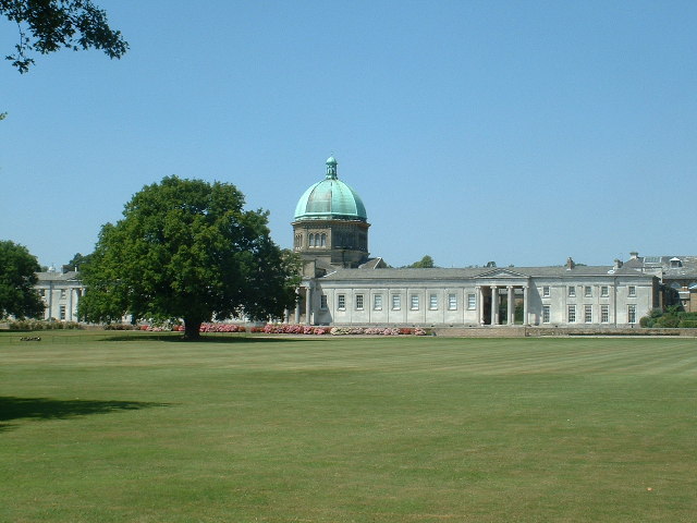
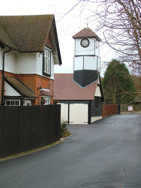
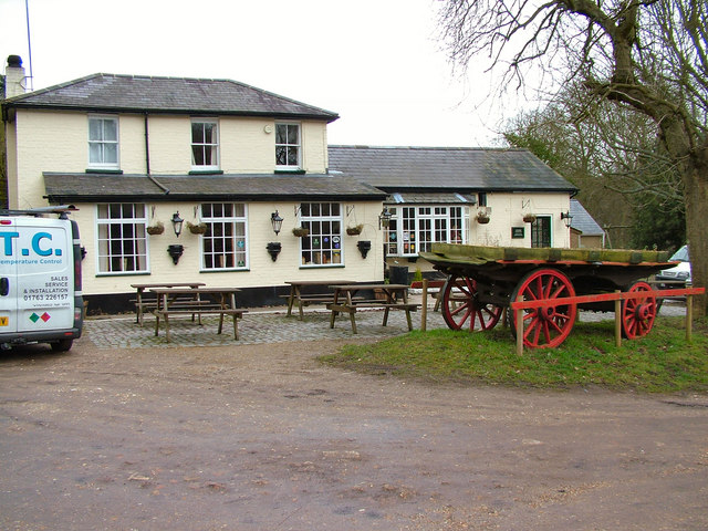
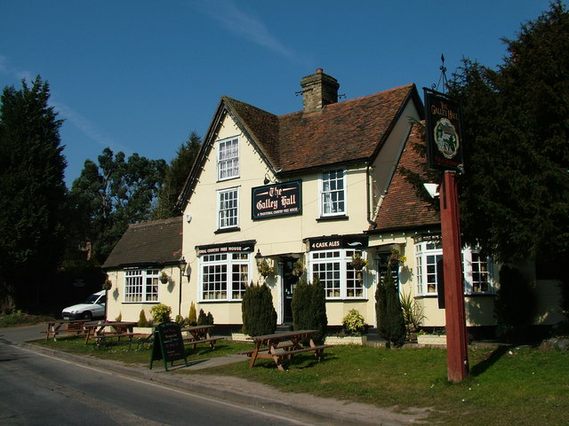
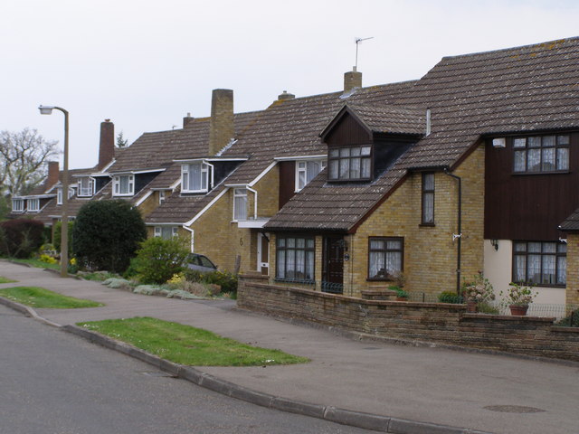
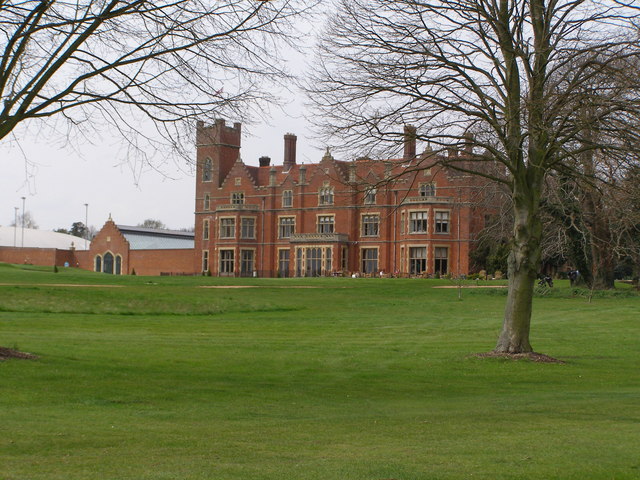
High Leigh Images

Images are sourced within 2km of 51.761618/-0.028032732 or Grid Reference TL3608. Thanks to Geograph Open Source API. All images are credited.

The A10, Broxbourne
The A10, Broxbourne
The A10, Broxbourne
The A10, Broxbourne
Footpath in Hoddesdon Park Wood Hoddesdon Park Wood is managed by the Woodland Trust <span class="nowrap"><a title="https://www.woodlandtrust.org.uk/visiting-woods/woods/hoddesdon-park-wood/" rel="nofollow ugc noopener" href="https://www.woodlandtrust.org.uk/visiting-woods/woods/hoddesdon-park-wood/">Link</a><img style="margin-left:2px;" alt="External link" title="External link - shift click to open in new window" src="https://s1.geograph.org.uk/img/external.png" width="10" height="10"/></span>

Part of Broxbourne Woods National Nature Reserve <span class="nowrap"><a title="https://www.gov.uk/government/publications/hertfordshires-national-nature-reserve" rel="nofollow ugc noopener" href="https://www.gov.uk/government/publications/hertfordshires-national-nature-reserve">Link</a><img style="margin-left:2px;" alt="External link" title="External link - shift click to open in new window" src="https://s1.geograph.org.uk/img/external.png" width="10" height="10"/></span>

This is the Hertfordshire Way Long Distance Footpath <span class="nowrap"><a title="https://ldwa.org.uk/ldp/members/show_path.php?path_name=Hertfordshire+Way" rel="nofollow ugc noopener" href="https://ldwa.org.uk/ldp/members/show_path.php?path_name=Hertfordshire+Way">Link</a><img style="margin-left:2px;" alt="External link" title="External link - shift click to open in new window" src="https://s1.geograph.org.uk/img/external.png" width="10" height="10"/></span>
Footpath in Hoddesdon Park Wood
Hoddesdon Park Wood is managed by the Woodland Trust LinkExternal link Part of Broxbourne Woods National Nature Reserve LinkExternal link This is the Hertfordshire Way Long Distance Footpath LinkExternal link
Path in Hoddesdon Park Wood Hoddesdon Park Wood is managed by the Woodland Trust <span class="nowrap"><a title="https://www.woodlandtrust.org.uk/visiting-woods/woods/hoddesdon-park-wood/" rel="nofollow ugc noopener" href="https://www.woodlandtrust.org.uk/visiting-woods/woods/hoddesdon-park-wood/">Link</a><img style="margin-left:2px;" alt="External link" title="External link - shift click to open in new window" src="https://s1.geograph.org.uk/img/external.png" width="10" height="10"/></span>

Part of Broxbourne Woods National Nature Reserve <span class="nowrap"><a title="https://www.gov.uk/government/publications/hertfordshires-national-nature-reserve" rel="nofollow ugc noopener" href="https://www.gov.uk/government/publications/hertfordshires-national-nature-reserve">Link</a><img style="margin-left:2px;" alt="External link" title="External link - shift click to open in new window" src="https://s1.geograph.org.uk/img/external.png" width="10" height="10"/></span>
Path in Hoddesdon Park Wood
Hoddesdon Park Wood is managed by the Woodland Trust LinkExternal link Part of Broxbourne Woods National Nature Reserve LinkExternal link
Danemead Nature Reserve Danemead Nature Reserve is managed by the Herts and Middlesex Wildlife Trust <span class="nowrap"><a title="https://www.hertswildlifetrust.org.uk/nature-reserves/danemead" rel="nofollow ugc noopener" href="https://www.hertswildlifetrust.org.uk/nature-reserves/danemead">Link</a><img style="margin-left:2px;" alt="External link" title="External link - shift click to open in new window" src="https://s1.geograph.org.uk/img/external.png" width="10" height="10"/></span>

Part of Wormley-Hoddesdonpark Woods North SSSI <span class="nowrap"><a title="https://designatedsites.naturalengland.org.uk/SiteDetail.aspx?SiteCode=s1002304" rel="nofollow ugc noopener" href="https://designatedsites.naturalengland.org.uk/SiteDetail.aspx?SiteCode=s1002304">Link</a><img style="margin-left:2px;" alt="External link" title="External link - shift click to open in new window" src="https://s1.geograph.org.uk/img/external.png" width="10" height="10"/></span>
Danemead Nature Reserve
Danemead Nature Reserve is managed by the Herts and Middlesex Wildlife Trust LinkExternal link Part of Wormley-Hoddesdonpark Woods North SSSI LinkExternal link
The A10, Woollensbrook On the edge of Hoddesdon
The A10, Woollensbrook
On the edge of Hoddesdon
Hailey Lane, along the south side of Haileybury College
Hoddesdon Town Hoddesdon Town Centre showing War Memorial and White Swan Public House
Hoddesdon Town
Hoddesdon Town Centre showing War Memorial and White Swan Public House
Barclay Park The photograph faces north across the Lake in Barclay Park. The park was given to the town of Hoddesdon in 1935 as a recreational area
Barclay Park
The photograph faces north across the Lake in Barclay Park. The park was given to the town of Hoddesdon in 1935 as a recreational area
Hoddesdon Wood Nature reserve Hoddesdon Wood is a nature reserve cared for by the Woodland trust
Hoddesdon Wood Nature reserve
Hoddesdon Wood is a nature reserve cared for by the Woodland trust
Haileybury College at Hertford Heath Photograph taken looking north across Sports field to the main school buildings originally built as a classical academic quadrangle.
Haileybury College at Hertford Heath
Photograph taken looking north across Sports field to the main school buildings originally built as a classical academic quadrangle.
Highfield Farm The farm has 15 houses that are under constructed on their ground, but have retained this lovely clock tower
Highfield Farm
The farm has 15 houses that are under constructed on their ground, but have retained this lovely clock tower
The Huntsman, Goose Green The pub was known as the Green Man years ago.
The Huntsman, Goose Green
The pub was known as the Green Man years ago.
The Galley Hall A nice pub on a quiet country road close to Haileybury College.
The Galley Hall
A nice pub on a quiet country road close to Haileybury College.
Suburban Housing Broxbourne Herts One of many relatively new housing estates that have been built in Broxbourne to help cater for the ever growing demand for housing in the South East.
Suburban Housing Broxbourne Herts
One of many relatively new housing estates that have been built in Broxbourne to help cater for the ever growing demand for housing in the South East.
Hertfordshire Golf and Country Club House The club House is a grade ii listed building formerly known as Broxbournebury Mansion.
Hertfordshire Golf and Country Club House
The club House is a grade ii listed building formerly known as Broxbournebury Mansion.
Bridge over A10 carrying Lord Street Southbound A10 travelling towards the bridge which carries Lord Street over the A10.
Bridge over A10 carrying Lord Street
Southbound A10 travelling towards the bridge which carries Lord Street over the A10.
Hoddesdon By-Pass A10 Dinant Link Road Dinant Link Road A10, Hoddesdon By-Pass Westbound.
Hoddesdon By-Pass A10 Dinant Link Road
Dinant Link Road A10, Hoddesdon By-Pass Westbound.
Show me another place!

High Leigh is located at Grid Ref: TL3608 (Lat: 51.761618, Lng: -0.028032732)

Administrative County: Hertfordshire

District: Broxbourne

Police Authority: Hertfordshire

What 3 Words

///agenda.dirt.punt. Near Hoddesdon, Hertfordshire

Nearby Locations

Hoddesdon High Leigh

Related Wikis

Barclay Park

Barclay Park is a park in Hoddesdon, Hertfordshire, England. == History == In 1403 there was a house on the land called High Wyches which by 1677 had been...

Woollens Brook

Woollens Brook, a minor tributary of the River Lea, rises close to Ermine Street, south of Hertford Heath (51.7745°N 0.0410°W / 51.7745; -0.0410 (Woollens...

Hoddesdon Town F.C.

Hoddesdon Town Football Club is a football club based in Hoddesdon, Hertfordshire, England. They are currently members of the Eastern Counties League Division...

Woollensbrook

Woollensbrook is a hamlet in Hertfordshire, England. It is in the town of Hoddesdon.

Hoddesdon

Hoddesdon () is a town in the Borough of Broxbourne, Hertfordshire, lying entirely within the London Metropolitan Area and Greater London Urban Area....

Robert Barclay Academy

Robert Barclay Academy (formerly Sheredes School) is a co-educational secondary school and sixth form located in Hoddesdon in the English county of Hertfordshire...

Hoddesdon Town Hall

Hoddesdon Town Hall, also known as Hoddesdon Clock House, was a municipal building in the High Street in Hoddesdon, Hertfordshire, England. Except for...

Rawdon House

Rawdon House is a former residence in the High Street of Hoddesdon, Hertfordshire, England. It was built as a house in 1622 by Marmaduke Rawdon, and extended...

Nearby Amenities

Located within 500m of 51.761618,-0.028032732
Motorway Junction
Hoddesdon Interchange
Lat/Long: 51.7617815/-0.0332668
Power: tower
Source: Yahoo
Lat/Long: 51.7631734/-0.0303948
Power: tower
Source: Yahoo
Lat/Long: 51.7613473/-0.0318432
Power: tower
Source: Yahoo
Lat/Long: 51.7592754/-0.0335813
Power: tower
Source: bing
Lat/Long: 51.7635083/-0.0248851
Power: tower
Source: Yahoo
Lat/Long: 51.7633394/-0.0281311
Bench
Backrest: yes
Material: metal
Seats: 3
Lat/Long: 51.7609472/-0.0228756
Waste Basket
Waste: dog
Lat/Long: 51.7600997/-0.0222372
Bench
Backrest: yes
Lat/Long: 51.7597511/-0.022087
Bench
Backrest: yes
Lat/Long: 51.7601088/-0.0215331
Bench
Backrest: yes
Material: wood
Lat/Long: 51.7600217/-0.0222265
Bench
Backrest: yes
Lat/Long: 51.7598914/-0.0221634
Waste Basket
Lat/Long: 51.7599121/-0.0221728
Give Way
Lat/Long: 51.7641581/-0.0295036
Give Way
Lat/Long: 51.7645789/-0.0315374
Crossing
Crossing: traffic_signals
Crossing Island: no
Crossing Markings: dots
Crossing Signals: yes
Crossing Ref: toucan
Tactile Paving: yes
Lat/Long: 51.7633879/-0.0269542
Traffic Signals
Crossing: no
Traffic Signals: signal
Lat/Long: 51.7633837/-0.0268851
Traffic Signals
Traffic Signals: signal
Lat/Long: 51.7641785/-0.0272754
Traffic Signals
Traffic Signals: signal
Lat/Long: 51.7634548/-0.0270859
Traffic Signals
Traffic Signals: signal
Lat/Long: 51.7640888/-0.0271017
Crossing
Crossing: traffic_signals
Crossing Island: no
Crossing Markings: dots
Crossing Signals: yes
Crossing Ref: toucan
Tactile Paving: yes
Lat/Long: 51.7637697/-0.0262937
Power: pole
Lat/Long: 51.7623267/-0.0335223
Traffic Signals
Crossing: no
Traffic Signals: crossing
Lat/Long: 51.76379/-0.026346
Tactile Paving: yes
Lat/Long: 51.7637365/-0.0263239
Tactile Paving: yes
Lat/Long: 51.7637982/-0.0262643
Tactile Paving: yes
Lat/Long: 51.7634259/-0.0269512
Tactile Paving: yes
Lat/Long: 51.7633471/-0.0269586
Crossing
Crossing: unmarked
Lat/Long: 51.7632167/-0.026969
Give Way
Lat/Long: 51.7652936/-0.0288257
Crossing
Crossing: unmarked
Lat/Long: 51.7625416/-0.0270718
Barrier: bollard
Colour: silver
Lat/Long: 51.7631929/-0.0269682
Barrier: bollard
Colour: silver
Lat/Long: 51.7626092/-0.0269424
High Leigh Garden Village
Place: suburb
Lat/Long: 51.7637864/-0.027077
Fountain
Lat/Long: 51.7602368/-0.0261884
The data included in this document is from www.openstreetmap.org. The data is made available under ODbL.

Have you been to High Leigh?

Leave your review of High Leigh below (or comments, questions and feedback).