Heartsease
Settlement in Norfolk Norwich
England
Heartsease
Heartsease is a small suburb located in the eastern region of Norfolk, England. Situated approximately three miles from the city center of Norwich, it forms part of the broader Thorpe St. Andrew area. With a population of around 5,000 residents, Heartsease offers a peaceful residential environment with convenient access to the amenities of Norwich.
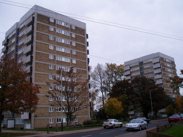
The housing in Heartsease is predominantly made up of post-war council estates, although there are also some private residential developments. The area is known for its affordable housing options, making it attractive for first-time buyers and families looking for reasonably priced properties.
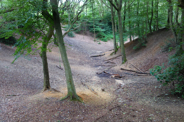
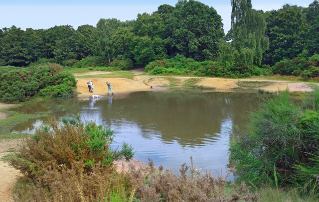
One of the defining features of Heartsease is its proximity to nature and green spaces. The suburb is bordered by extensive woodlands, providing residents with opportunities for outdoor activities and peaceful walks. The nearby Thorpe Marshes Nature Reserve is also a popular spot for birdwatching and wildlife enthusiasts.
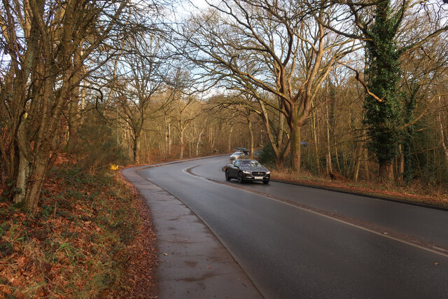
Heartsease benefits from excellent transport links, making it easily accessible for commuters. The suburb is served by regular bus services, and the Norwich train station is just a short distance away. The A47 road, which links Norwich to Great Yarmouth, passes by the outskirts of Heartsease, providing convenient road connections to other parts of Norfolk.
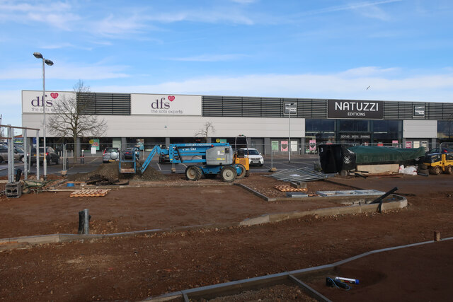
In terms of amenities, Heartsease has a range of local shops, including a supermarket, convenience stores, and small independent retailers. The suburb also boasts a community center, a library, and a primary school, catering to the needs of its residents.
Overall, Heartsease offers a quiet and affordable suburban living experience, with the added advantage of being close to both the natural beauty of Norfolk and the vibrant city of Norwich.
If you have any feedback on the listing, please let us know in the comments section below.
Heartsease Images
Images are sourced within 2km of 52.647555/1.3326109 or Grid Reference TG2510. Thanks to Geograph Open Source API. All images are credited.


Heartsease is located at Grid Ref: TG2510 (Lat: 52.647555, Lng: 1.3326109)
Administrative County: Norfolk
District: Norwich
Police Authority: Norfolk
What 3 Words
///traded.bunk.pulled. Near Thorpe Hamlet, Norfolk
Nearby Locations
Related Wikis

Open Academy
Open Academy (formerly Heartsease High School) is a secondary school with academy status located in the Heartsease area of Norwich, in the English county...

RAF Mousehold Heath
The area of Norwich between the Salhouse and Plumstead roads (outside of the outer ring road) was originally the Cavalry Training Ground and then became...
Heartsease Estate, Norwich
The Heartsease is a housing estate located in Norwich, Norfolk and takes its name from the heartsease, a common European wild flower. == Location == The...
Sprowston Community Academy
Sprowston Community Academy is a coeducational secondary school located in Sprowston, Norwich, Norfolk, England. == Description == Ofsted visiting the...
Sprowston
Sprowston ( or ) is a town and civil parish in the Broadland district of Norfolk, England. It is bounded by Heartsease to the east, Mousehold Heath and...

Mousehold Heath
Mousehold Heath is a freely accessible area of heathland and woodland which lies to the north-east of the medieval city boundary of Norwich, in Norfolk...

Britannia Barracks
Britannia Barracks was a military installation in Norwich. == History == The barracks were built in the architectural style of Norman Shaw on Mousehold...

Thorpe St Andrew
Thorpe St Andrew is a town and civil parish in the Broadland district of Norfolk, England. It is situated on the River Yare, two miles east of the centre...
Nearby Amenities
Located within 500m of 52.647555,1.3326109Have you been to Heartsease?
Leave your review of Heartsease below (or comments, questions and feedback).