Heasandford
Settlement in Lancashire Burnley
England
Heasandford
Heasandford is a small village located in the county of Lancashire, England. Situated in the borough of Burnley, it is nestled in the foothills of the Pennines, offering picturesque views of the surrounding countryside. With a population of around 3,000 residents, it is a close-knit community that prides itself on its sense of belonging and community spirit.
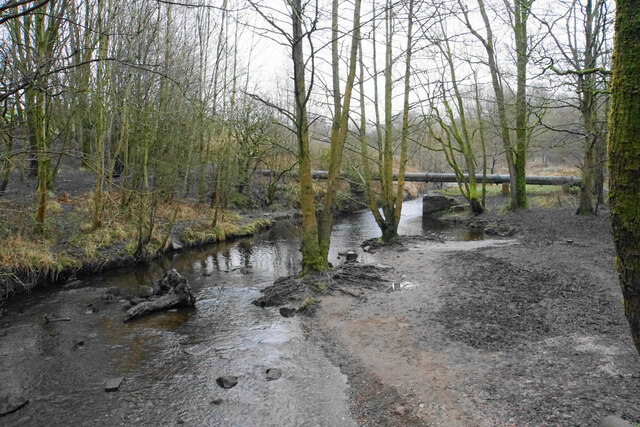
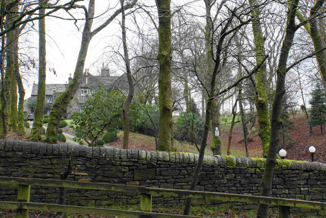
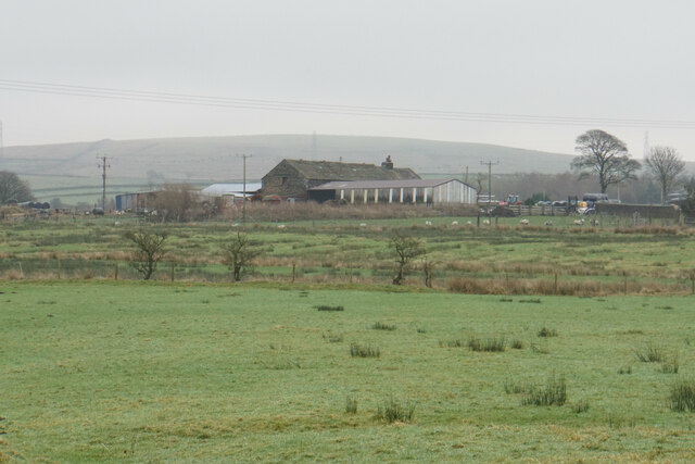
The village of Heasandford has a rich history dating back several centuries. It was primarily an agricultural settlement, and evidence of this can still be seen in the traditional farmhouses and barns that dot the landscape. Over time, the village has evolved and embraced modern amenities, ensuring a comfortable standard of living for its residents.
One notable landmark in Heasandford is the St. John the Baptist Church, a beautiful historic building that dates back to the 16th century. It serves as a place of worship for the local community and attracts visitors who appreciate its architectural beauty. Additionally, the village boasts several charming pubs and local shops, which contribute to its unique character.
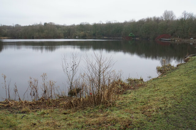
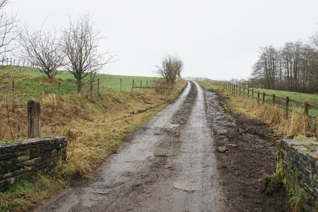
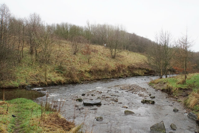
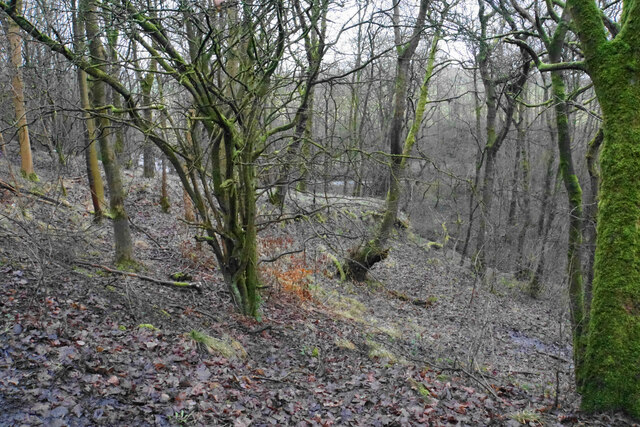
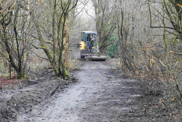
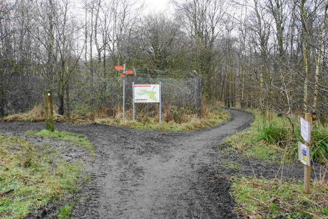
Heasandford is also known for its proximity to outdoor recreational areas, making it an attractive destination for nature enthusiasts. The nearby countryside offers ample opportunities for hiking, cycling, and exploring the scenic trails that wind through the rolling hills. This, combined with the village's peaceful atmosphere, makes it an ideal place for those seeking a tranquil and idyllic lifestyle.
In conclusion, Heasandford is a small village in Lancashire that combines a rich historical heritage with natural beauty. Its tight-knit community, historic landmarks, and access to the outdoors make it a desirable place to live for those seeking a serene and friendly environment.
If you have any feedback on the listing, please let us know in the comments section below.
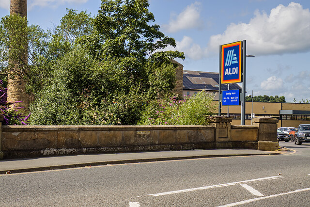
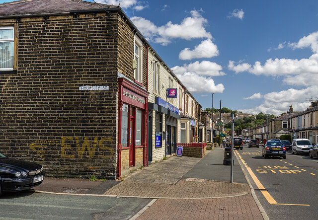
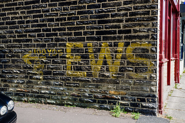
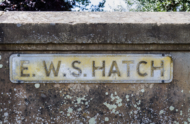
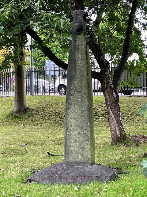
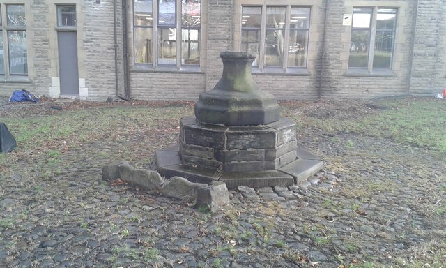
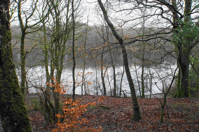
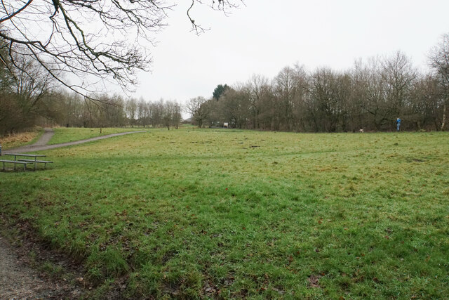
Heasandford Images
Images are sourced within 2km of 53.800635/-2.2233923 or Grid Reference SD8533. Thanks to Geograph Open Source API. All images are credited.
,_Burnley.jpg)
Heasandford is located at Grid Ref: SD8533 (Lat: 53.800635, Lng: -2.2233923)
Administrative County: Lancashire
District: Burnley
Police Authority: Lancashire
What 3 Words
///army.head.dame. Near Burnley, Lancashire
Nearby Locations
Related Wikis

Sir John Thursby Community College
Sir John Thursby Community College is a mixed 11-16 comprehensive school in Burnley, Lancashire, England. It is named for Sir John Hardy Thursby (1826...
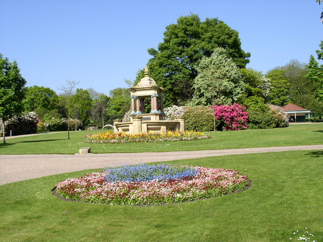
Queens Park, Burnley
Queens Park is a public park in Burnley, Lancashire. It covers 11.2 hectares and was opened in 1893, making it Burnley's oldest park. Located approximately...

River Don, Lancashire
The River Don is a river in Lancashire, England. It is 6.64 miles (10.69 km) long and has a catchment area of 4.18 square miles (1,082.31 ha).Rising on...

St Andrew's Church, Burnley
St Andrew's Church is in Colne Road, Burnley, Lancashire, England. It is an active Anglican parish church in the deanery of Burnley, the archdeaconry...
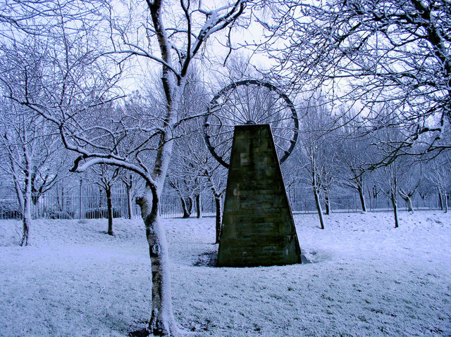
Bank Hall Colliery
Bank Hall Colliery was a coal mine on the Burnley Coalfield in Burnley, Lancashire near the Leeds and Liverpool Canal. Sunk in the late 1860s, it was the...
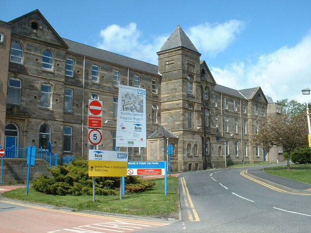
Burnley General Teaching Hospital
The Burnley General Teaching Hospital is an acute District General Hospital in Burnley, Lancashire operated by the East Lancashire Hospitals NHS Trust...

Blessed Trinity Roman Catholic College
Blessed Trinity Roman Catholic College is a coeducational Roman Catholic secondary school located in Burnley, Lancashire, England. == History == The school...

Thompson Park (Burnley)
Thompson Park is a formal Edwardian park in Burnley, Lancashire. It was opened to the public in 1930. Located near the town centre, features include a...
Nearby Amenities
Located within 500m of 53.800635,-2.2233923Have you been to Heasandford?
Leave your review of Heasandford below (or comments, questions and feedback).