Headington Quarry
Settlement in Oxfordshire Oxford
England
Headington Quarry

Headington Quarry is a historic village located in the county of Oxfordshire, England. Situated about 3 miles east of Oxford city center, the village is renowned for its long history of quarrying and its distinctive local stone, known as Headington stone.
The quarrying of Headington stone has been a significant industry in the area since Roman times. The stone, a type of limestone, was highly sought after for its durability and aesthetic appeal. It can be seen in many notable buildings in Oxford, including the iconic Radcliffe Camera and the University Church of St Mary the Virgin.
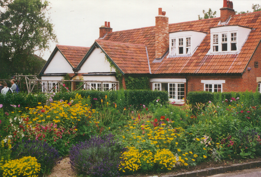
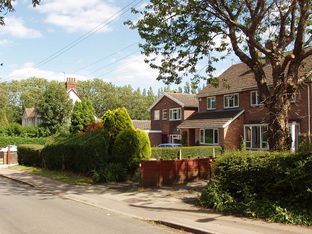
Headington Quarry is a picturesque village with a charming mix of traditional cottages and modern houses. The village is home to a close-knit community that takes pride in its history and heritage. It has a local primary school, a few shops, and a couple of traditional pubs that serve as social hubs for the residents.
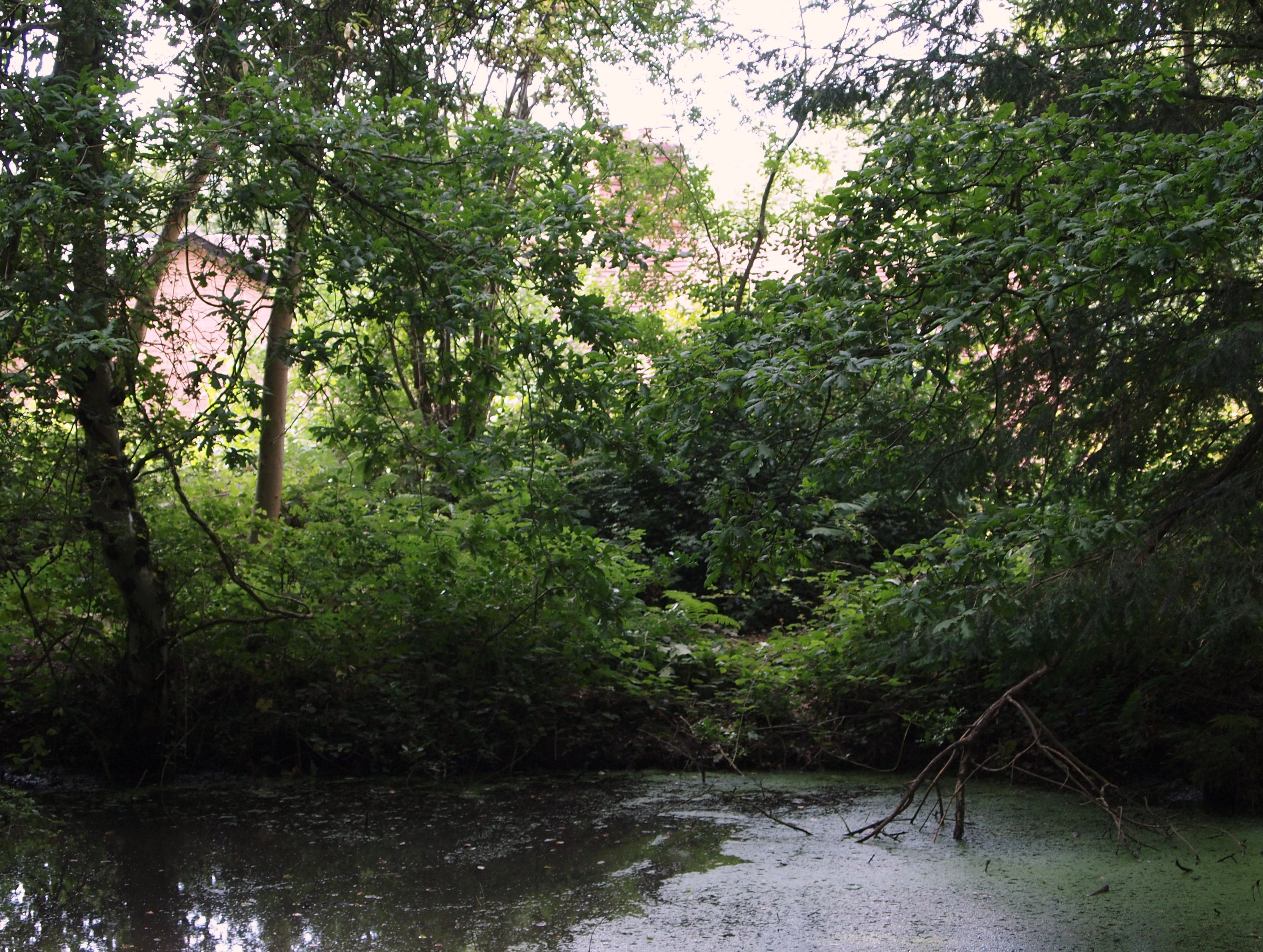
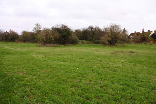
The village is surrounded by beautiful countryside, offering plenty of opportunities for outdoor activities such as walking and cycling. Nearby Shotover Country Park is a popular spot for nature lovers, boasting woodlands, meadows, and stunning views over the city of Oxford.
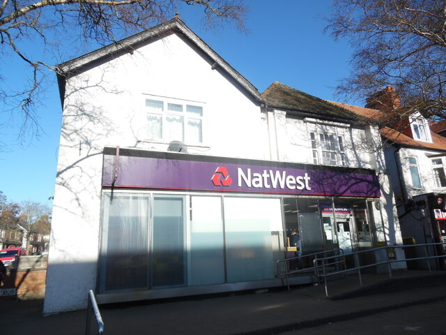
Headington Quarry is well-connected to the city center of Oxford, with regular bus services and easy access to major roads. Its proximity to the university city makes it an attractive place for professionals and families looking for a peaceful and picturesque place to live, while still enjoying the amenities and cultural offerings of Oxford.
If you have any feedback on the listing, please let us know in the comments section below.
Headington Quarry Images
Images are sourced within 2km of 51.758617/-1.1979901 or Grid Reference SP5506. Thanks to Geograph Open Source API. All images are credited.


Headington Quarry is located at Grid Ref: SP5506 (Lat: 51.758617, Lng: -1.1979901)
Administrative County: Oxfordshire
District: Oxford
Police Authority: Thames Valley
What 3 Words
///fries.across.bravo. Near Cowley, Oxfordshire
Nearby Locations
Related Wikis
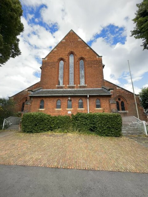
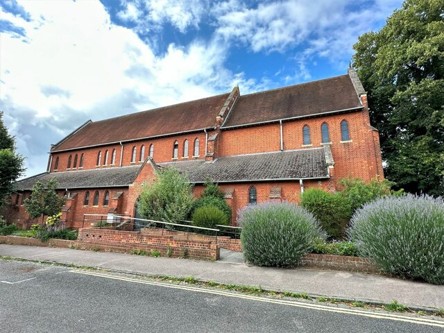
Holy Trinity Church, Headington Quarry
Holy Trinity Church, Headington Quarry, is located in the district of Headington Quarry, Oxford, England. It is an active Anglican parish church in the...
Headington Quarry
Headington Quarry is a residential district of Oxford, England, located east of Headington and west of Risinghurst, just inside the Oxford ring road in...

Risinghurst
Risinghurst is an outlying residential area of Oxford, England, just outside the Eastern Bypass Road which forms part of the Oxford ring road. It is about...
The Kilns
The Kilns, also known as C. S. Lewis House, is the house in Risinghurst, Oxford, England, where the author C. S. Lewis wrote all of his Narnia books and...
CS Lewis Nature Reserve
CS Lewis Nature Reserve is a 3-hectare (7.4-acre) nature reserve in Risinghurst, a suburb of Oxford in Oxfordshire. It is managed by the Berkshire, Buckinghamshire...
Old Road, Oxford
Old Road is a long street in Headington, east Oxford, England, extending into Oxfordshire as a road east of Oxford, to Littleworth near Wheatley. It is...
Rock Edge Nature Reserve
Rock Edge Nature Reserve is a small nature reserve and park in an area that was once a limestone quarry in Headington, east Oxford, England.The local geology...

Rock Edge
Rock Edge is a 1.7-hectare (4.2-acre) geological Site of Special Scientific Interest in Oxford in Oxfordshire. It is a Geological Conservation Review site...
Nearby Amenities
Located within 500m of 51.758617,-1.1979901Have you been to Headington Quarry?
Leave your review of Headington Quarry below (or comments, questions and feedback).