Hayes
Settlement in Dorset
England
Hayes
Hayes is a small village located in the county of Dorset, England. Situated about 10 miles east of the county town of Dorchester, it falls within the West Dorset district. The village lies in a picturesque countryside setting, encompassed by rolling hills, lush green fields, and charming woodland areas.
Hayes has a rich history that dates back to at least the medieval period. The village is home to several ancient landmarks, including the Grade I listed St. Mary's Church, which is believed to have been built in the 13th century. The church's architecture showcases a blend of Norman and Gothic styles, and it remains a prominent feature of the village's landscape.
The village itself is quite small, with a population of approximately 500 residents. It exudes a peaceful and close-knit community atmosphere, providing a tranquil and idyllic living environment. The local economy primarily revolves around agriculture, with many residents engaged in farming activities.
Despite its size, Hayes offers several amenities and services to its residents. These include a village hall, a primary school, a post office, and a local pub, providing a central hub for social gatherings and community events.
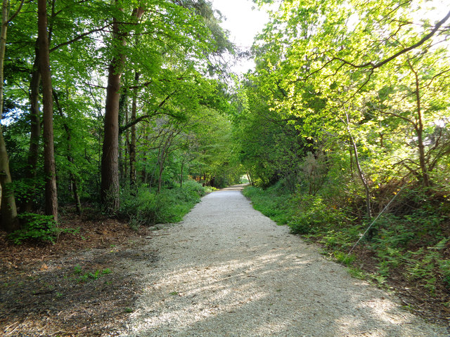
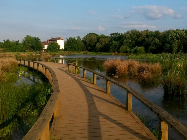
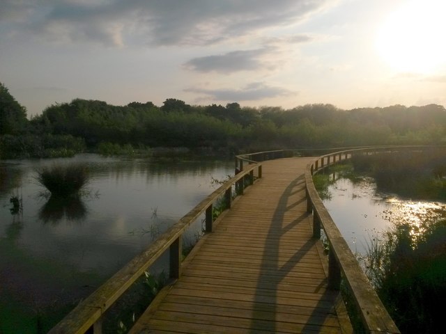
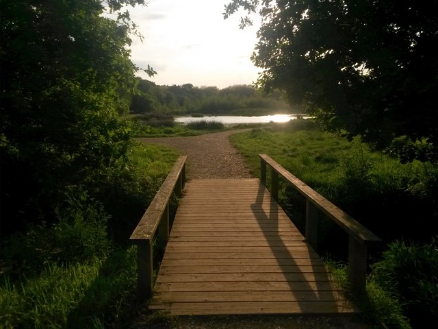
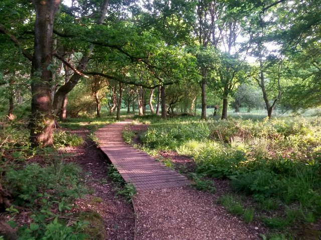
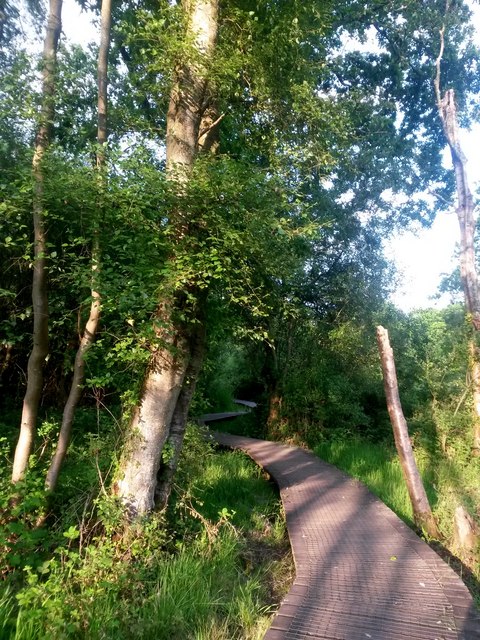
The surrounding natural beauty makes Hayes an attractive destination for outdoor enthusiasts. The village is surrounded by scenic walking trails, offering opportunities for leisurely strolls and exploration of the countryside. Additionally, the nearby Dorset Area of Outstanding Natural Beauty provides further options for outdoor pursuits, such as hiking and cycling.
Overall, Hayes, Dorset, with its historic charm, tight-knit community, and natural beauty, offers a delightful countryside living experience for its residents and visitors alike.
If you have any feedback on the listing, please let us know in the comments section below.
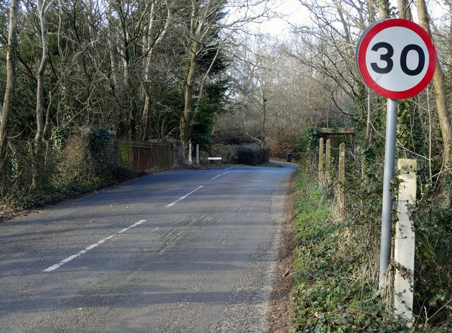
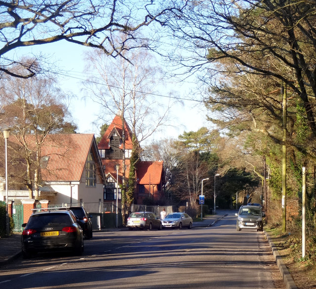
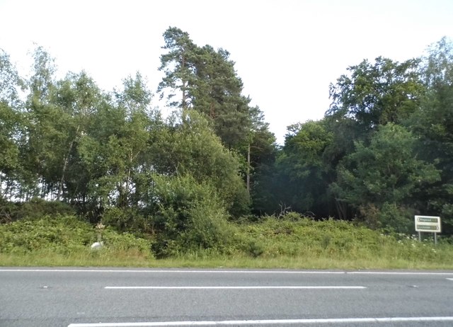
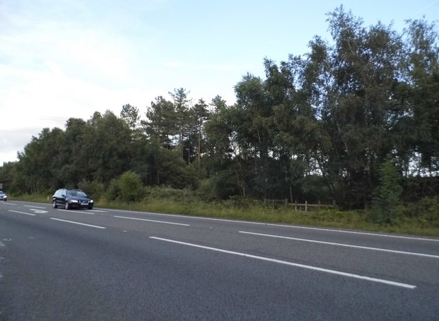
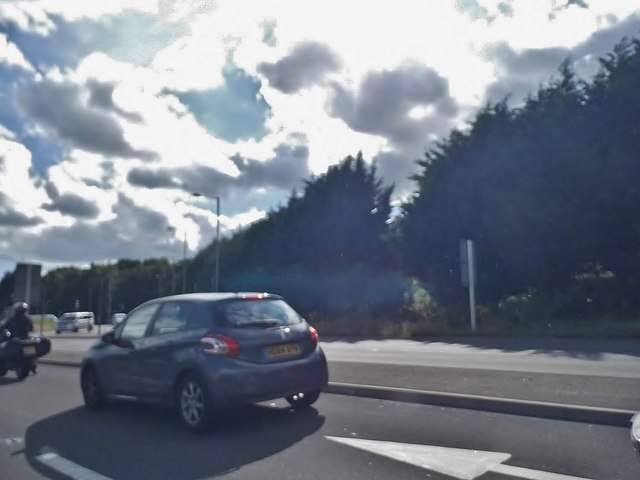
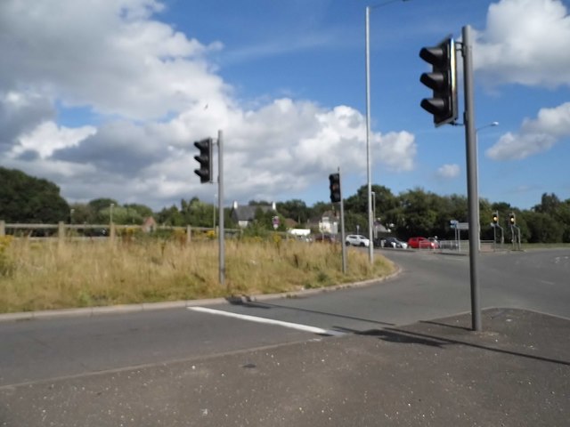
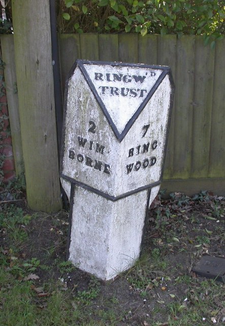
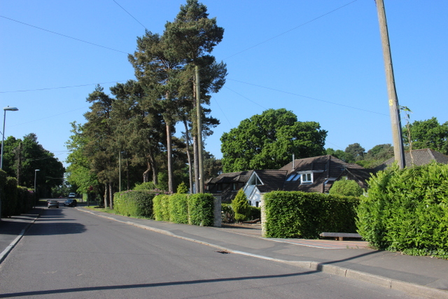
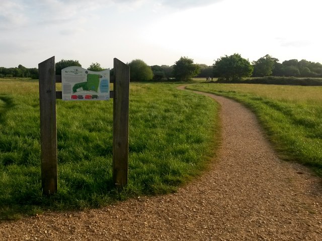
Hayes Images
Images are sourced within 2km of 50.800396/-1.950411 or Grid Reference SU0300. Thanks to Geograph Open Source API. All images are credited.


Hayes is located at Grid Ref: SU0300 (Lat: 50.800396, Lng: -1.950411)
Unitary Authority: Dorset
Police Authority: Dorset
What 3 Words
///drill.typed.homes. Near Wimborne Minster, Dorset
Nearby Locations
Related Wikis

Colehill
Colehill is a parish neighbouring Wimborne Minster, in Dorset, England. It had a population of 7,000 in 2001, which shrunk slightly to 6,927 people at...
Canford School
Canford School is a public school (English fee-charging boarding and day school for pupils aged 13–18). Situated in 300 acres of parkland near to the market...

Canford Magna Parish Church
The Canford Magna Parish Church in Canford Magna, Dorset, England – possibly dedicated to St Augustine – is a mixture of Saxon, Norman and Mid Gothic architecture...

Canford Magna
Canford Magna is a village in Dorset, England. The village is situated just south of the River Stour and lies between the towns of Wimborne Minster and...

Wimborne Market
Wimborne Market was an historic market in a large covered structure in Wimborne Minster, Dorset, England. It ceased to trade on 19 December 2021 after...

Wimborne railway station
Wimborne was a railway station in Wimborne Minster in the county of Dorset in England. Open from 1 June 1847 to 2 May 1977, it was sited just north of...
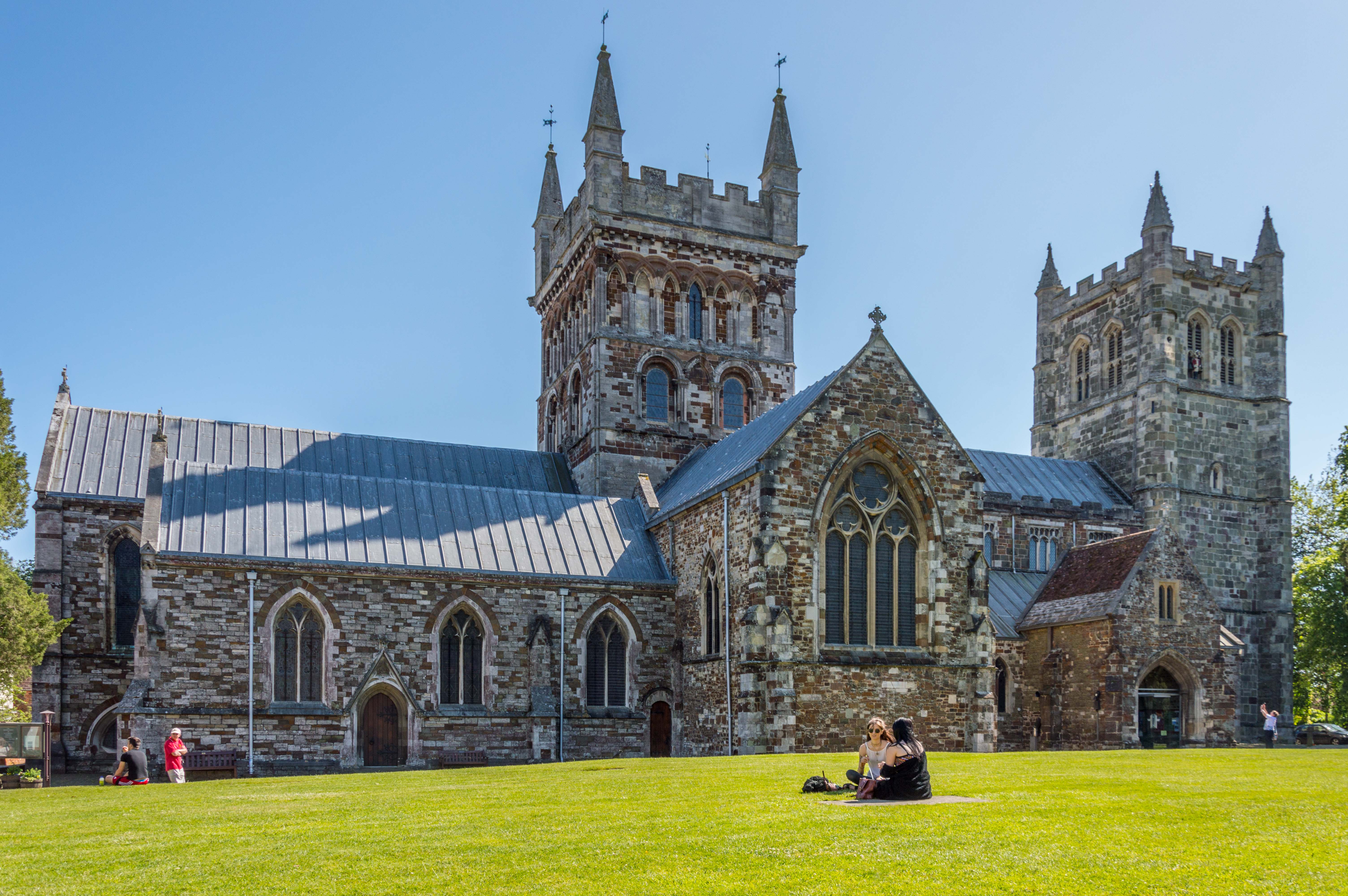
Wimborne Minster
Wimborne Minster (often referred to as Wimborne, ) is a market town in Dorset in South West England, and the name of the Church of England church in that...
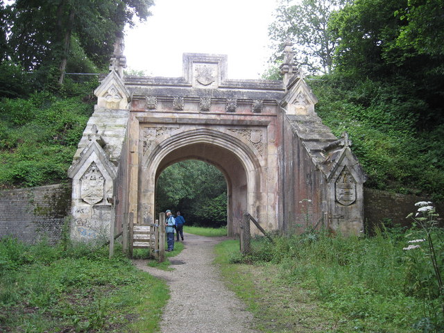
Lady Wimborne Bridge
The Lady Wimborne Bridge (London and South Western Railway Bridge 77) is a former railway bridge built in 1853, and now a listed building. Its highly ornate...
Nearby Amenities
Located within 500m of 50.800396,-1.950411Have you been to Hayes?
Leave your review of Hayes below (or comments, questions and feedback).