Hayes Gate
Settlement in Monmouthshire
Wales
Hayes Gate
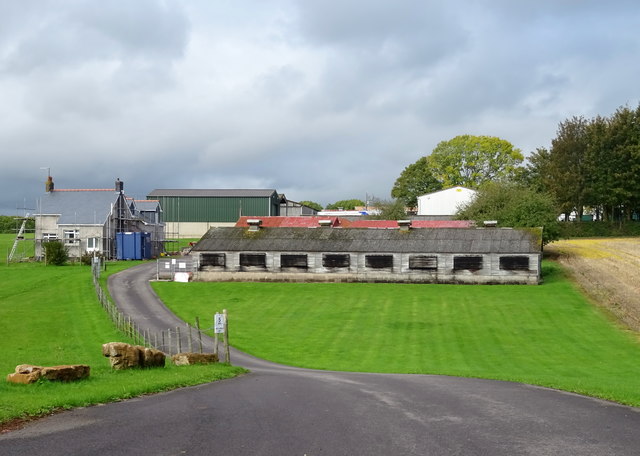
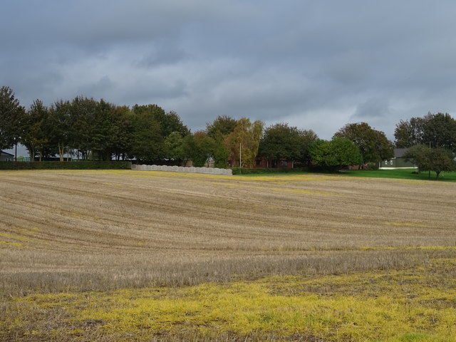
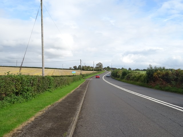
Hayes Gate is a small village located in Monmouthshire, Wales. Situated on the eastern edge of the Brecon Beacons National Park, it is surrounded by stunning natural beauty. The village is nestled amidst rolling hills and picturesque countryside, offering residents and visitors a tranquil and idyllic setting.
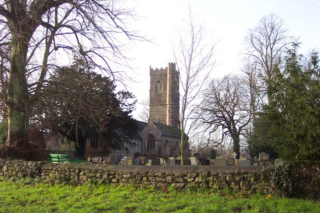
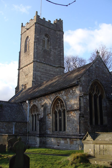
Hayes Gate has a rich history that can be traced back to the medieval period. The village is known for its well-preserved historic buildings, including traditional stone houses and charming cottages. These architectural gems provide a glimpse into the village's past and add to its unique character.
Despite its small size, Hayes Gate boasts a strong sense of community. The village has a close-knit population, with friendly and welcoming locals. The community spirit is evident through various events and activities organized throughout the year, including village fairs, sports competitions, and social gatherings.
The surrounding area offers ample opportunities for outdoor enthusiasts. With the Brecon Beacons on its doorstep, Hayes Gate is a popular destination for hikers, cyclists, and nature lovers. The nearby mountains and trails provide stunning vistas and a chance to explore the beauty of the Welsh countryside.
In terms of amenities, Hayes Gate has a small convenience store and a village pub, where locals and visitors can enjoy a pint of local ale or a hearty meal. For more extensive shopping and entertainment options, the town of Abergavenny is within easy reach.
Overall, Hayes Gate is a charming village that offers a peaceful and scenic retreat for those seeking a break from the hustle and bustle of city life. Its rich history, natural beauty, and strong community spirit make it a delightful place to visit or call home.
If you have any feedback on the listing, please let us know in the comments section below.
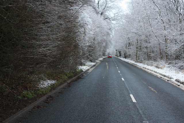
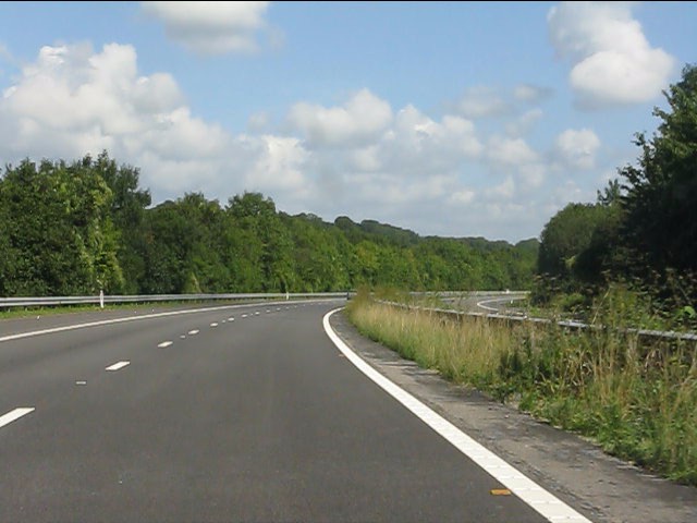
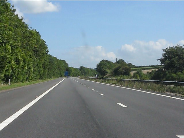
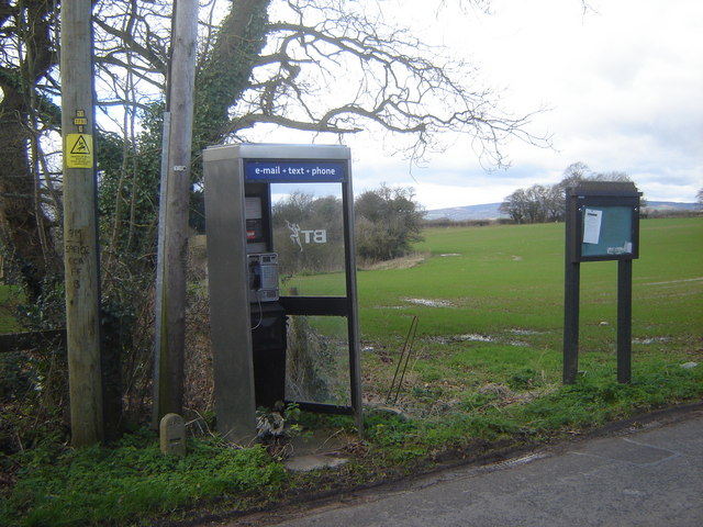
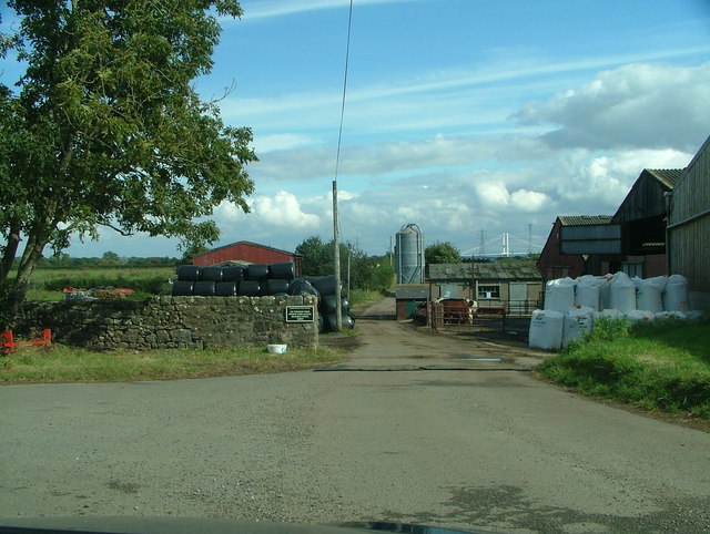
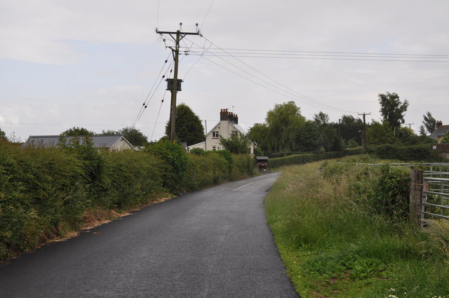
Hayes Gate Images
Images are sourced within 2km of 51.618879/-2.7112826 or Grid Reference ST5091. Thanks to Geograph Open Source API. All images are credited.


Hayes Gate is located at Grid Ref: ST5091 (Lat: 51.618879, Lng: -2.7112826)
Unitary Authority: Monmouthshire
Police Authority: Gwent
What 3 Words
///shred.madness.muscular. Near Chepstow, Monmouthshire
Nearby Locations
Related Wikis

Mathern Mill
Mathern Mill, Mathern, Monmouthshire is a watermill dating from either the late 18th or early 19th centuries. It continued in use as a functioning mill...

St Pierre, Monmouthshire
St Pierre is a former parish and hamlet in Monmouthshire, south east Wales, 3 miles (4.8 km) south west of Chepstow and adjacent to the Severn Estuary...
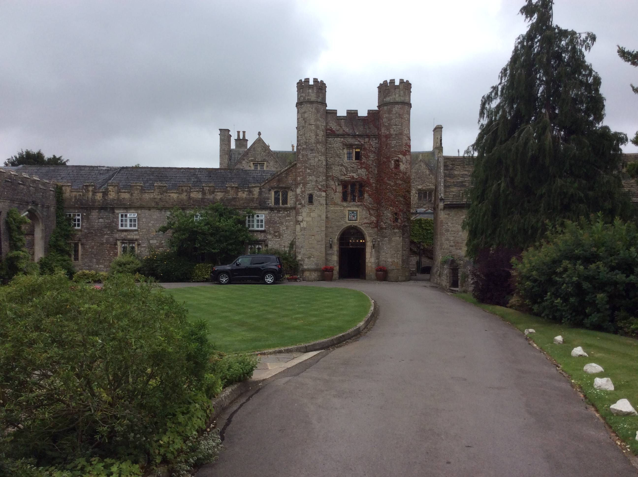
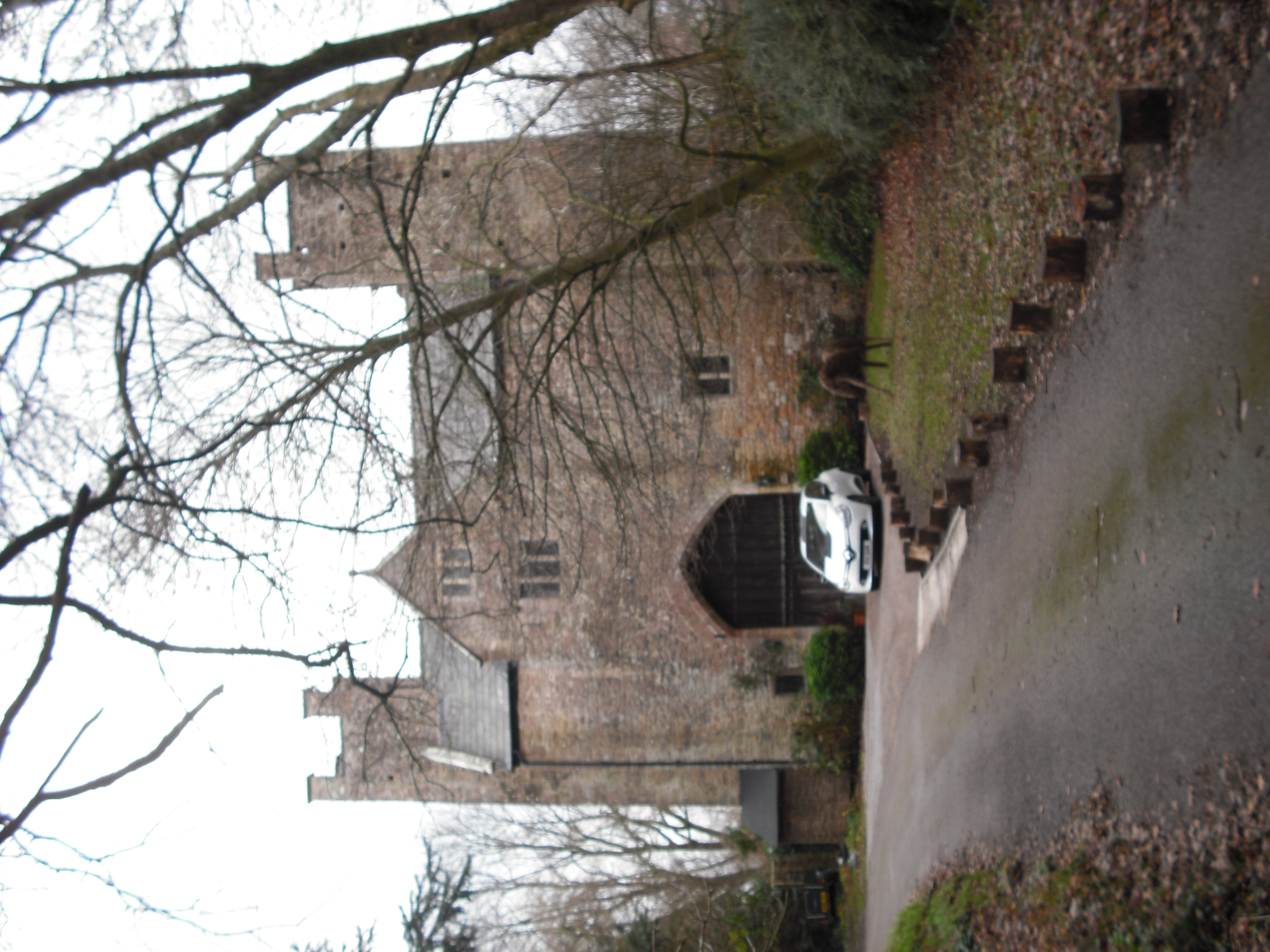
St Pierre Hotel Gatehouse
The Gatehouse and attached range, at the St Pierre Hotel, St Pierre, Mathern, Monmouthshire are the most significant remains of the mansion built by the...
Moynes Court
Moynes Court is a Grade II* listed building in the village of Mathern, Monmouthshire, Wales, about 3 miles (4.8 km) south west of Chepstow. An earlier...

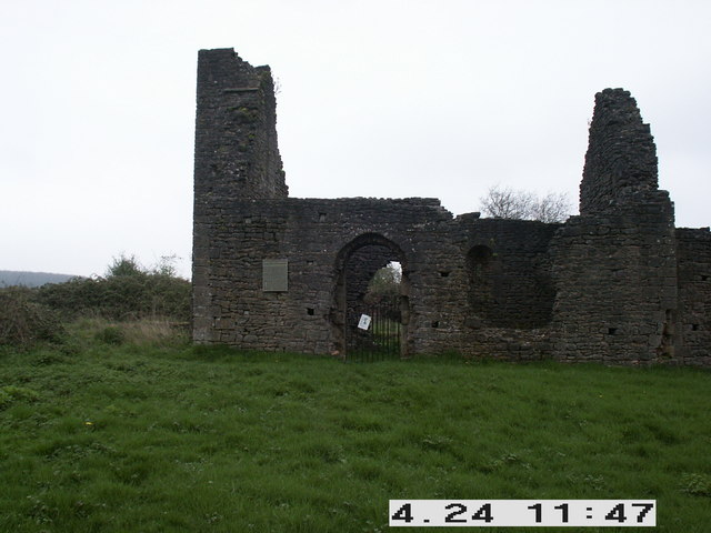
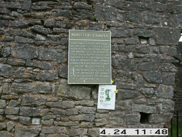
Runston Chapel
Runston Chapel, Mathern, Monmouthshire, Wales, is the ruin of a chapel dating back to the early 12th century. It is the only remaining visible remnant...
Mathern
Mathern (Welsh: Matharn; older form: Merthyr Tewdrig) is a historic community (parish) and village in Monmouthshire, south east Wales, about 3 miles (4...

Pwllmeyric
Pwllmeyric (Welsh: Pwllmeurig) is a small village in Monmouthshire, Wales, located 1 mile south west of Chepstow, on the A48 road within the parish of...
St Tewdric's Church
St Tewdric's Church is a Church in Wales parish church in Mathern, Monmouthshire, Wales. It is purportedly built over the resting place of Saint Tewdrig...
Nearby Amenities
Located within 500m of 51.618879,-2.7112826Have you been to Hayes Gate?
Leave your review of Hayes Gate below (or comments, questions and feedback).