Hawridge

Settlement in Buckinghamshire

England

Hawridge

Commemorative Stone Pillar at Cholesbury Common This stone pillar is on Cholesbury Common and has a fixed plaque with the 
 following wording:

    This stone was erected in 1897 to
    mark Queen Victoria's Diamond
    Jubilee. It stands on the boundary
    between Hawridge and Cholesbury.

    The plaque was added in 1999 to
    mark the end of the millennium.

 There is very faint wording at the foot of the stone pillar.
Commemorative Stone Pillar at Cholesbury Common Credit: David Hillas

Hawridge is a village located in the county of Buckinghamshire, England. Situated in the Chiltern Hills, it is part of the Chesham civil parish and falls within the Chiltern District. The village is located approximately 4 miles northwest of Chesham and 7 miles south of Aylesbury.

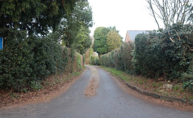
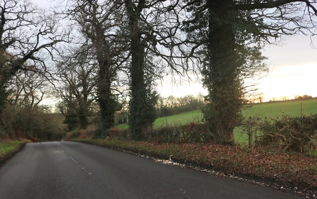
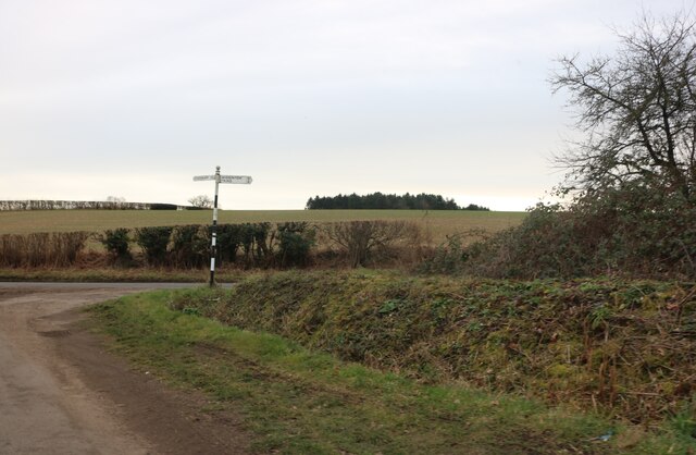
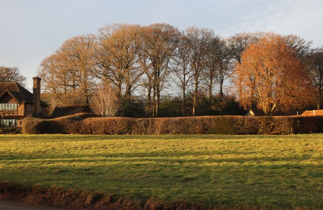
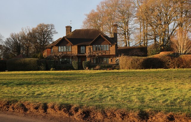
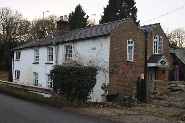
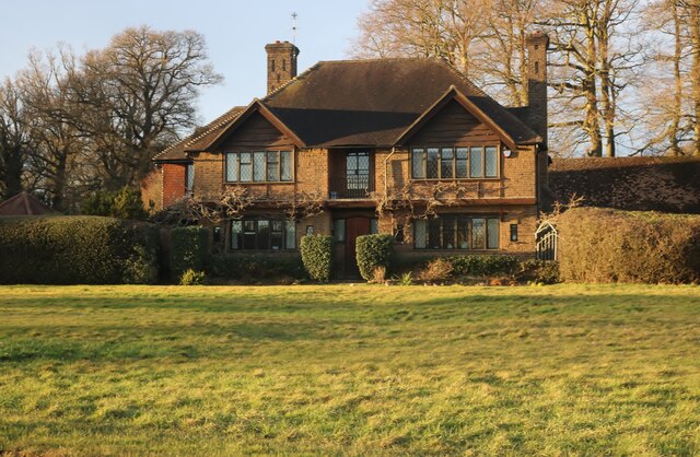
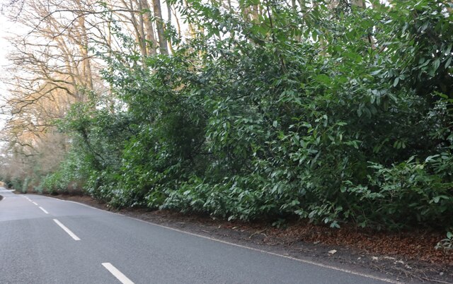
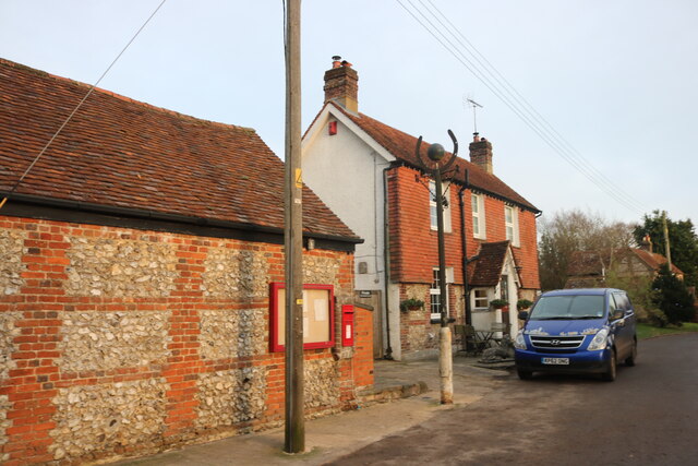
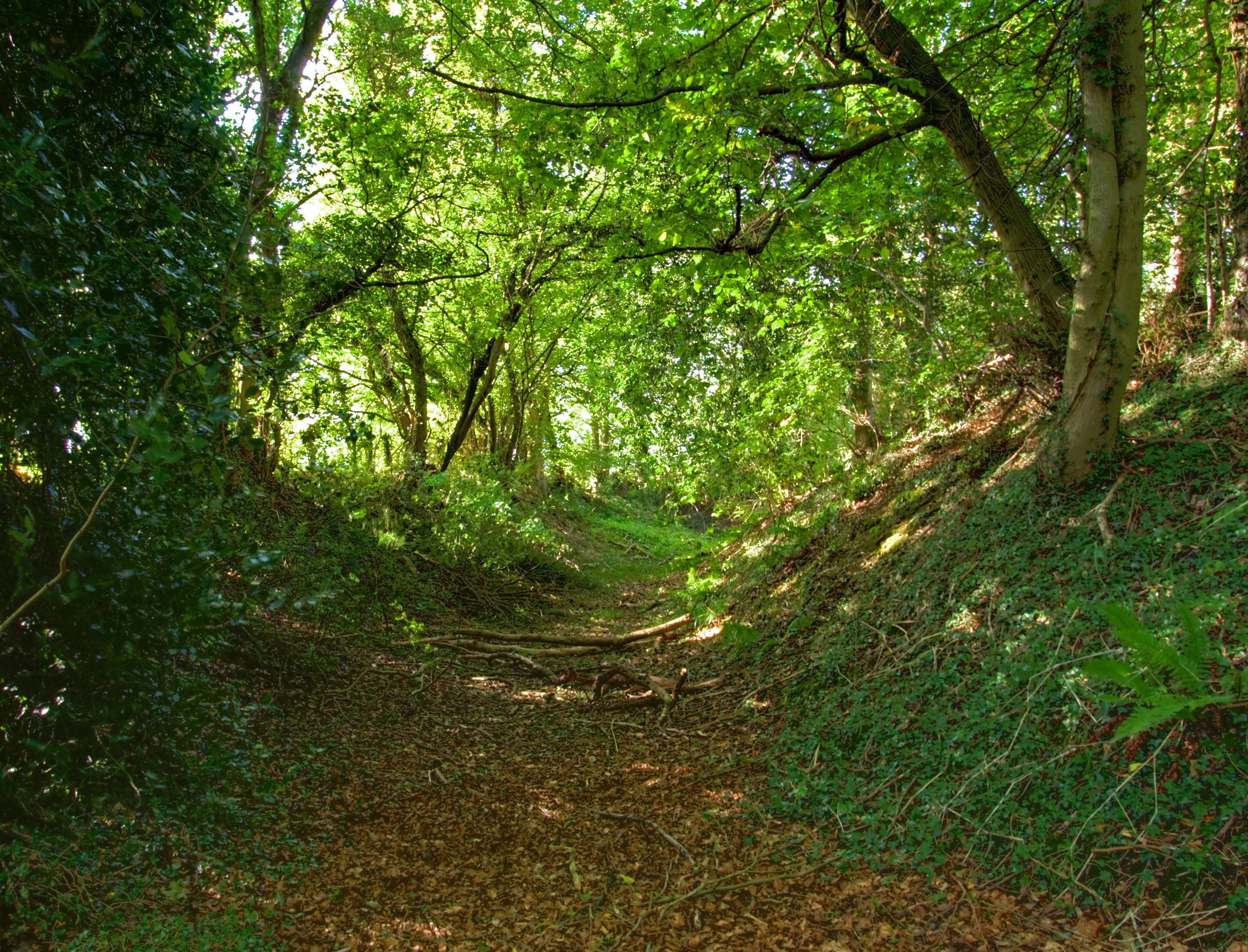
Hawridge is a small and charming village that offers a peaceful and rural atmosphere. It is surrounded by picturesque countryside, with rolling hills, meadows, and woodlands, making it an ideal location for outdoor enthusiasts and nature lovers. The village is characterized by its traditional architecture, with many historic buildings dating back to the 17th and 18th centuries.

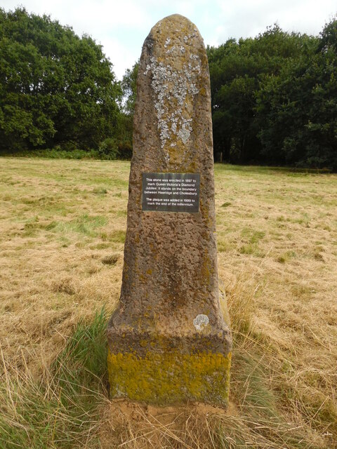
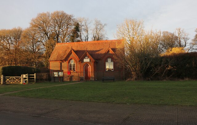
The village has a close-knit community and offers a range of amenities for its residents. These include a village hall, a primary school, a church, and a pub. The Hawridge and Cholesbury Cricket Club, established in 1745, is a prominent feature of the village and plays an integral role in the local community.

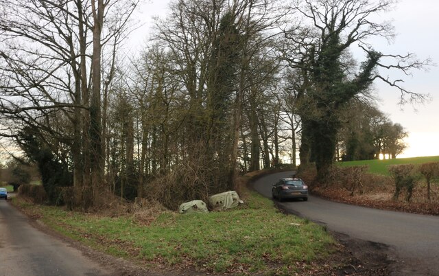
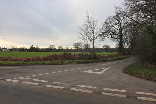
Hawridge is conveniently located near larger towns and cities, providing easy access to a wider range of amenities and services. Chesham, with its shopping centers, restaurants, and leisure facilities, is just a short drive away. The village is also well-connected by road, with the A416 passing nearby, providing access to the wider road network.

Overall, Hawridge offers a peaceful and idyllic setting, with its beautiful countryside, historic architecture, and strong sense of community. It is a desirable place to live for those seeking a rural lifestyle while still having access to nearby towns and cities.

If you have any feedback on the listing, please let us know in the comments section below.
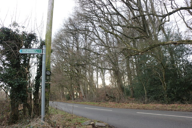
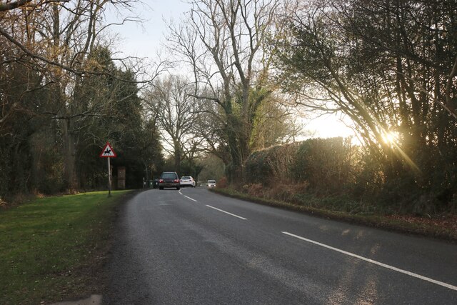
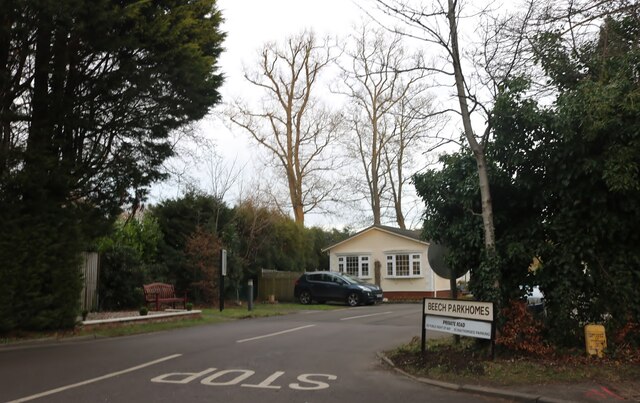
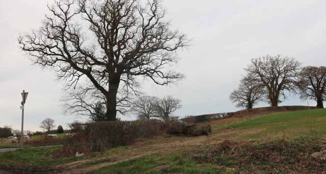
Hawridge Images

Images are sourced within 2km of 51.747819/-0.63049586 or Grid Reference SP9406. Thanks to Geograph Open Source API. All images are credited.

Commemorative Stone Pillar at Cholesbury Common This stone pillar is on Cholesbury Common and has a fixed plaque with the 
 following wording:

    This stone was erected in 1897 to
    mark Queen Victoria's Diamond
    Jubilee. It stands on the boundary
    between Hawridge and Cholesbury.

    The plaque was added in 1999 to
    mark the end of the millennium.

 There is very faint wording at the foot of the stone pillar.
Commemorative Stone Pillar at Cholesbury Common
This stone pillar is on Cholesbury Common and has a fixed plaque with the following wording: This stone was erected in 1897 to mark Queen Victoria's Diamond Jubilee. It stands on the boundary between Hawridge and Cholesbury. The plaque was added in 1999 to mark the end of the millennium. There is very faint wording at the foot of the stone pillar.
Junction on Cock Grove, Heath End
Cholesbury Village Hall
Ramscote Lane, Bellingdon
Rossway Lane at the junction of Cock Grove
Cock Grove, Heath End
Junction with Chesham Road, Heath End
Cholesbury Common
Cholesbury Common
House on Cholesbury Common
Old house on Cholesbury Road
House on Cholesbury Common
Cholesbury Road
Cholesbury Road
Cholesbury Road
Cholesbury Road
Cholesbury Road
Cholesbury Road
Beech Park, Cholesbury
Field by Chesham Road, Heath End
Chesham Road, Cholesbury
The Blue Ball, Asheridge
Show me another place!

Hawridge is located at Grid Ref: SP9406 (Lat: 51.747819, Lng: -0.63049586)

Unitary Authority: Buckinghamshire

Police Authority: Thames Valley

What 3 Words

///collapsed.factoring.faces. Near Berkhamsted, Hertfordshire

Nearby Locations

Hawridge Hawridge Common

Related Wikis

Hawridge

Hawridge ( HA-rij; recorded as Hoquerug in the 12th century) is a small village in the Chilterns in the county of Buckinghamshire, England and bordering...

Hawridge Court ringwork

Hawridge Court ringwork is a small, well-preserved medieval fortification located in Cholesbury-cum-St Leonards, in Buckinghamshire, England. Ringworks...
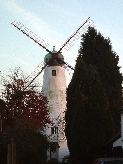
Hawridge Windmill

Hawridge Windmill which is also known as Cholesbury Windmill is a disused tower mill in Hawridge, Buckinghamshire. The mill was constructed on the site...

Bellingdon

Bellingdon is a village in the civil parish of Chartridge (where the 2011 Census was included), in Buckinghamshire, England. The name derives from the...

Nearby Amenities

Located within 500m of 51.747819,-0.63049586
Hawridge
Place: hamlet
Wikidata: Q5685447
Lat/Long: 51.7452133/-0.6267485
Barrier: kissing_gate
Lat/Long: 51.748679/-0.6323018
Vale Farm
Place: farm
Source: OS 1:25k
Lat/Long: 51.7473155/-0.6260192
Barrier: stile
Lat/Long: 51.7467917/-0.6315651
Barrier: stile
Lat/Long: 51.7460058/-0.6302475
Barrier: kissing_gate
Lat/Long: 51.7460489/-0.6303255
Barrier: stile
Lat/Long: 51.7461773/-0.6305772
Barrier: stile
Lat/Long: 51.7463755/-0.6308731
Barrier: stile
Lat/Long: 51.7473905/-0.6330741
Barrier: stile
Lat/Long: 51.7474044/-0.6329535
Post Box
Collection Times: Mo-Fr 15:15; Sa 08:30
Operator: Royal Mail
Operator Wikidata: Q638098
Post Box Type: lamp
Ref: HP5 60
Royal Cypher: EIIR
Royal Cypher Wikidata: Q33102113
Source: survey
Survey Date: 2015-08-23
Lat/Long: 51.7472721/-0.6256515
Barrier: gate_in_work_site_boarding
Lat/Long: 51.7465638/-0.6283892
Direction: 135
Generator Method: photovoltaic
Generator Output Electricity: yes
Generator Solar Modules: 16
Generator Source: solar
Generator Type: solar_photovoltaic_panel
Location: roof
Power: generator
Lat/Long: 51.7470016/-0.6265389
Cafe
Chiltern Velo
Addr City: Hawridge
Addr Housename: The Chiltern Velo Cafe
Addr Postcode: HP5 2UQ
Addr Street: Hawridge Common
Description: Also has a cycle workshop for parts and servicing
Email: hello@chilternvelo.co.uk
Internet Access: yes
Internet Access Fee: customers
Opening Hours: Tu-Su 08:00-16:00
Outdoor Seating: yes
Phone: +44 1280 416564
Website: https://www.chilternvelo.co.uk
Lat/Long: 51.7465519/-0.6279871
Barrier: stile
Lat/Long: 51.7485908/-0.6346906
Chiltern Velo
Payment Credit Cards: yes
Payment Debit Cards: yes
Service Bicycle Repair: yes
Shop: bicycle
Lat/Long: 51.7465323/-0.6279584
Barrier: stile
Lat/Long: 51.7464473/-0.6365022
Barrier: stile
Lat/Long: 51.7464841/-0.6364442
The data included in this document is from www.openstreetmap.org. The data is made available under ODbL.

Have you been to Hawridge?

Leave your review of Hawridge below (or comments, questions and feedback).