Hawridge Common
Wood, Forest in Buckinghamshire
England
Hawridge Common
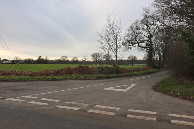
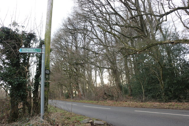
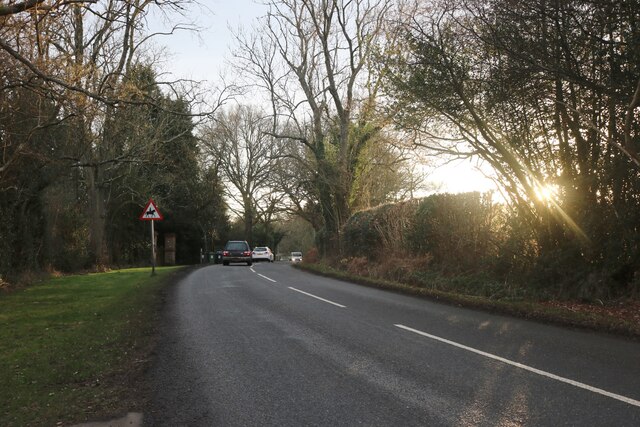
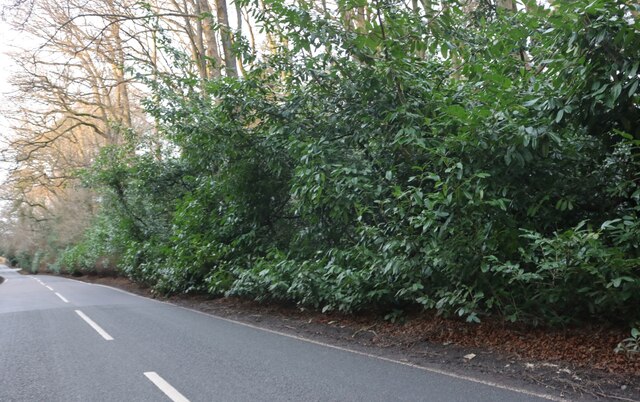
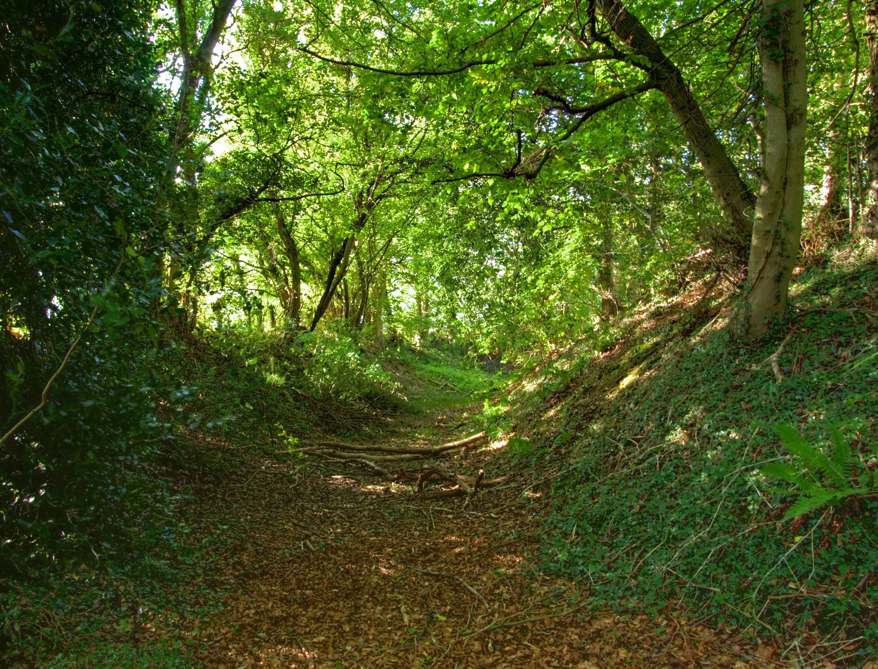
Hawridge Common, located in Buckinghamshire, England, is a picturesque woodland area known for its natural beauty and rich biodiversity. Stretching across an area of approximately 100 acres, the common is a designated Site of Special Scientific Interest (SSSI) and is managed by the Chiltern Society.
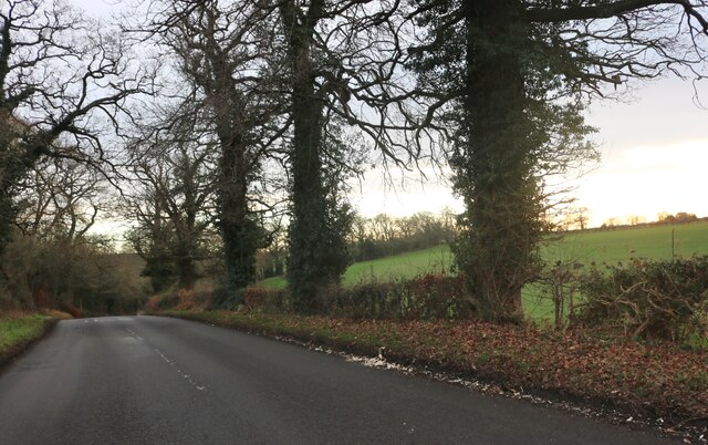
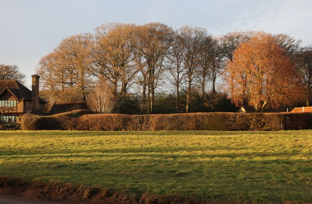
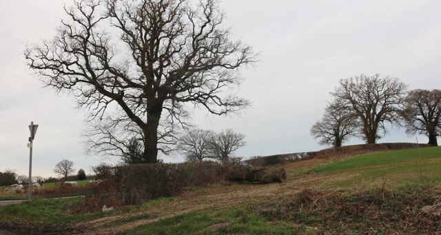
The common is primarily characterized by its dense forest of mixed deciduous trees, including oak, beech, and birch. These trees create a diverse and vibrant habitat for a wide range of wildlife species. Visitors to the common can expect to encounter an array of bird species, such as woodpeckers, thrushes, and finches, as well as small mammals like squirrels and deer.
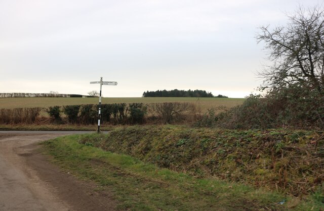
Traversing the common, visitors can explore a network of well-maintained footpaths and trails, providing opportunities for leisurely walks and nature observation. Throughout the common, there are several open areas where visitors can relax and enjoy a picnic amidst the tranquil surroundings. Additionally, there are a number of benches strategically placed throughout the woodland, offering visitors a chance to rest and take in the beauty of the natural surroundings.
Hawridge Common is not only a haven for wildlife enthusiasts and nature lovers but also serves as an important habitat for rare plants and insects. The common is home to several protected species, including the purple emperor butterfly and the greater horseshoe bat.
In summary, Hawridge Common in Buckinghamshire is a stunning woodland area, offering a peaceful retreat for visitors seeking to immerse themselves in nature and enjoy the diverse wildlife and plant species that call this area home.
If you have any feedback on the listing, please let us know in the comments section below.
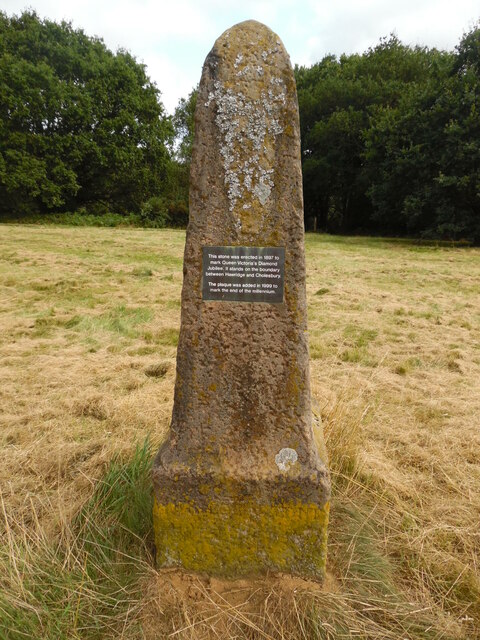
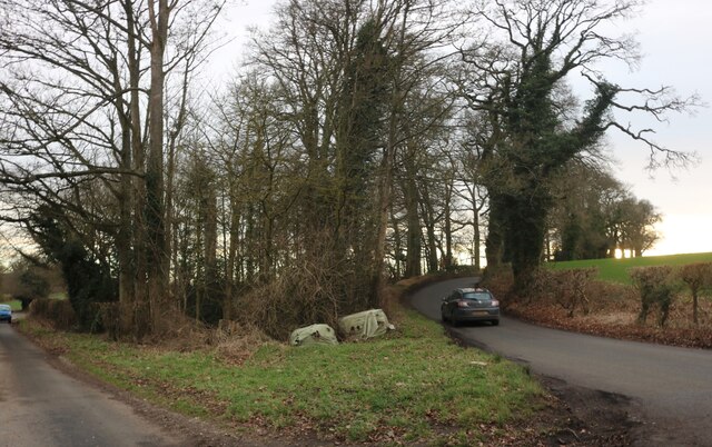
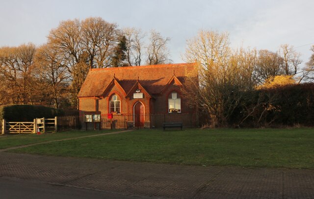
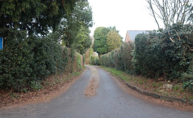
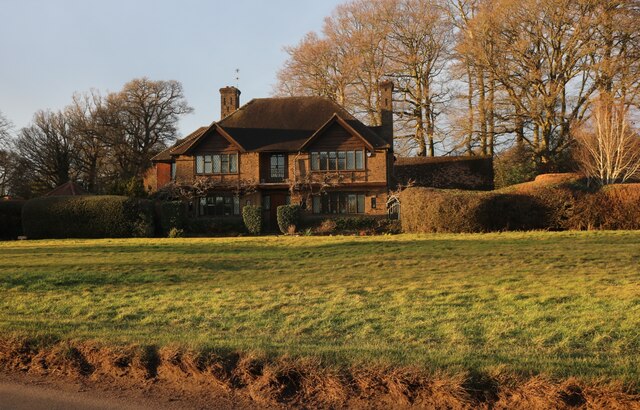
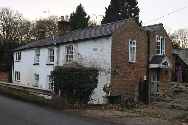
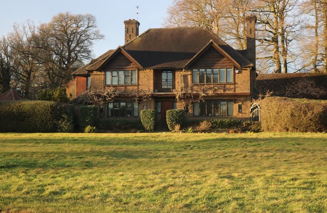
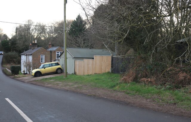
Hawridge Common Images
Images are sourced within 2km of 51.751511/-0.6332816 or Grid Reference SP9406. Thanks to Geograph Open Source API. All images are credited.

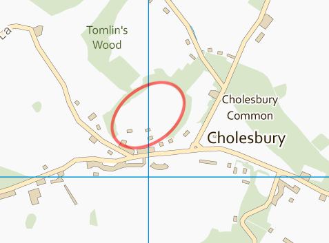
Hawridge Common is located at Grid Ref: SP9406 (Lat: 51.751511, Lng: -0.6332816)
Unitary Authority: Buckinghamshire
Police Authority: Thames Valley
What 3 Words
///according.villa.apparatus. Near Berkhamsted, Hertfordshire
Nearby Locations
Related Wikis

Hawridge
Hawridge ( HA-rij; recorded as Hoquerug in the 12th century) is a small village in the Chilterns in the county of Buckinghamshire, England and bordering...
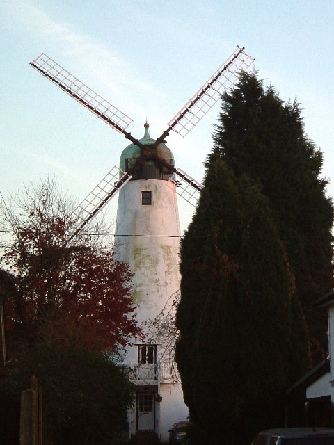
Hawridge Windmill
Hawridge Windmill which is also known as Cholesbury Windmill is a disused tower mill in Hawridge, Buckinghamshire. The mill was constructed on the site...
Hawridge Court ringwork
Hawridge Court ringwork is a small, well-preserved medieval fortification located in Cholesbury-cum-St Leonards, in Buckinghamshire, England. Ringworks...

Cholesbury
Cholesbury (recorded as Chelwardisbyry in the 13th century) is a village and former civil parish, now in the parish of Cholesbury-cum-St. Leonards, in...

Cholesbury-cum-St Leonards
Cholesbury-cum-St Leonards is a civil parish in the Chiltern district of the English county of Buckinghamshire. It lies in the Chiltern Hills just to the...
Cholesbury Camp
Cholesbury Camp is a large and well-preserved Iron Age hill fort on the northern edge of the village of Cholesbury in Buckinghamshire, England. It is roughly...

Rossway
Rossway Park Estate is a 1,000-acre (400 ha) country estate located about 0.5 kilometers south of Berkhamsted in Hertfordshire, England. The house at the...

Bellingdon
Bellingdon is a village in the civil parish of Chartridge (where the 2011 Census was included), in Buckinghamshire, England. The name derives from the...
Nearby Amenities
Located within 500m of 51.751511,-0.6332816Have you been to Hawridge Common?
Leave your review of Hawridge Common below (or comments, questions and feedback).