Haverscroft Street
Settlement in Norfolk Breckland
England
Haverscroft Street
Haverscroft Street is a charming residential street located in Norfolk, a county in the East of England. Situated in the heart of the market town of Norwich, Haverscroft Street is known for its picturesque houses and vibrant atmosphere.
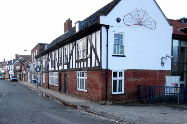
The street is lined with a mix of period properties, including Victorian and Georgian-style houses, which add to its character and appeal. The architecture of the houses is notably well-preserved, with many featuring intricate detailing and colorful facades. The street is also adorned with neatly manicured gardens and vibrant flower beds, creating a delightful and welcoming environment for residents and visitors alike.
Haverscroft Street benefits from its central location, offering easy access to a range of amenities. Within walking distance, residents can find a variety of shops, cafes, restaurants, and local businesses, providing all the conveniences needed for everyday living. The street is also well-connected to public transportation, with bus stops nearby, allowing for convenient travel to other parts of the town and beyond.
Furthermore, Haverscroft Street is renowned for its sense of community. Neighbors often gather for social events and street parties, fostering a friendly and inclusive atmosphere. The street is also home to a well-regarded primary school, enhancing its appeal for families.
In conclusion, Haverscroft Street is a quintessential residential street in Norfolk, offering a blend of architectural beauty, convenient amenities, and a strong sense of community. Its charming houses and vibrant atmosphere make it a sought-after location for those seeking a picturesque and welcoming place to call home.
If you have any feedback on the listing, please let us know in the comments section below.
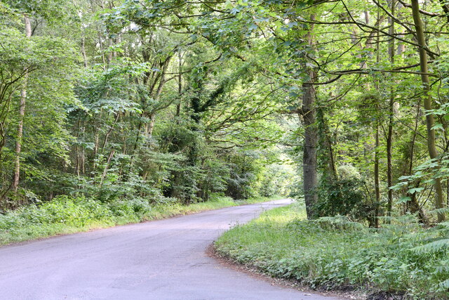
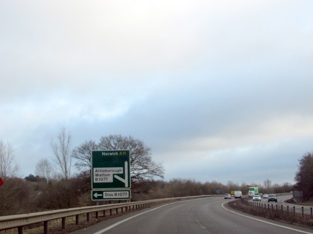
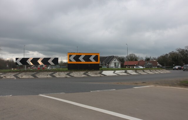
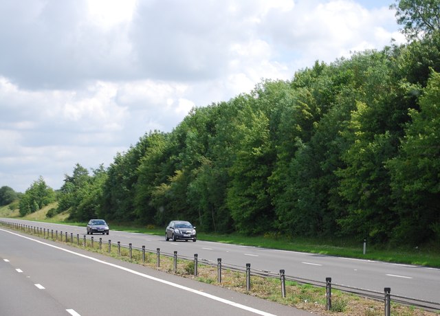
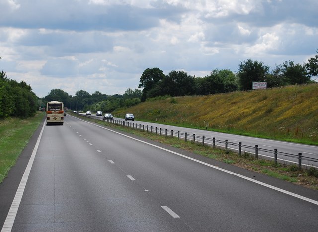
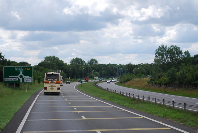
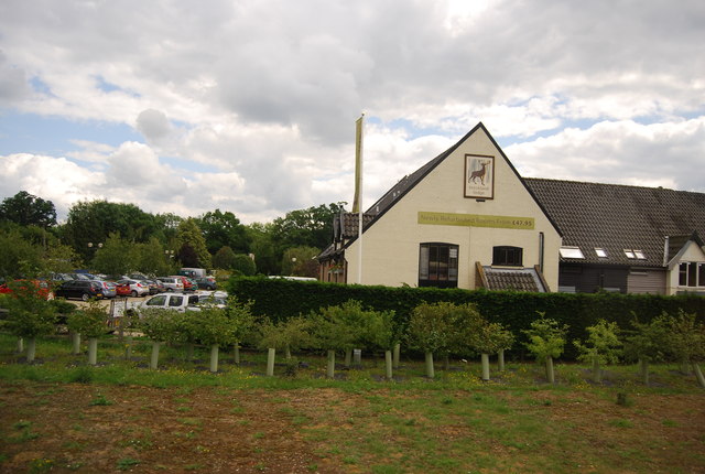
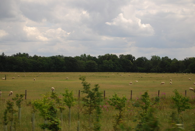
Haverscroft Street Images
Images are sourced within 2km of 52.504026/1.0007426 or Grid Reference TM0393. Thanks to Geograph Open Source API. All images are credited.

Haverscroft Street is located at Grid Ref: TM0393 (Lat: 52.504026, Lng: 1.0007426)
Administrative County: Norfolk
District: Breckland
Police Authority: Norfolk
What 3 Words
///passage.jousting.bowhead. Near Attleborough, Norfolk
Nearby Locations
Related Wikis

Kingdom of East Anglia
The Kingdom of the East Angles (Old English: Ēastengla Rīċe; Latin: Regnum Orientalium Anglorum), informally known as the Kingdom of East Anglia, was a...

East Anglia
East Anglia is an area in the East of England. It comprises the counties of Norfolk and Suffolk, with Cambridgeshire and Essex also included in some definitions...

Iceni
The Iceni ( eye-SEEN-eye, Classical Latin: [ɪˈkeːniː]) or Eceni were an ancient tribe of eastern Britain during the Iron Age and early Roman era. Their...
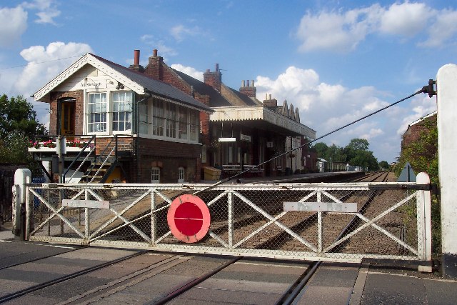
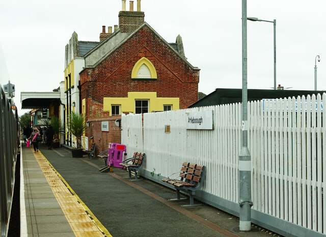
Attleborough railway station
Attleborough railway station is on the Breckland line in the east of England, serving the market town of Attleborough, Norfolk. The line runs between Cambridge...
Nearby Amenities
Located within 500m of 52.504026,1.0007426Have you been to Haverscroft Street?
Leave your review of Haverscroft Street below (or comments, questions and feedback).