Havering's Grove
Settlement in Essex Brentwood
England
Havering's Grove
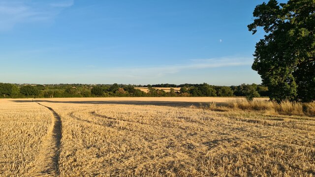
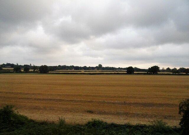
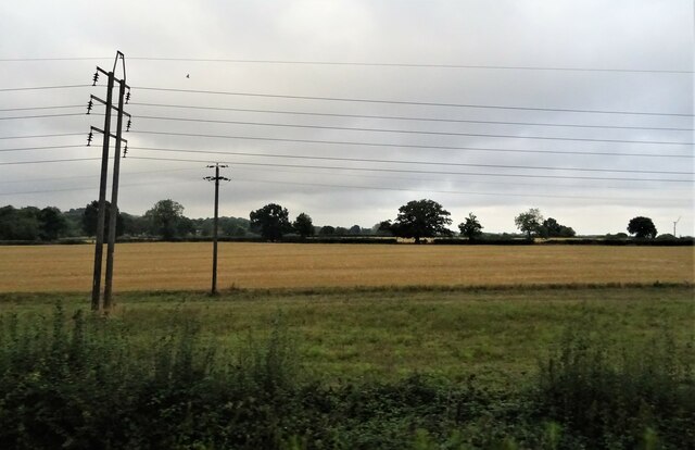
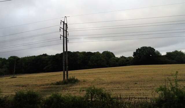
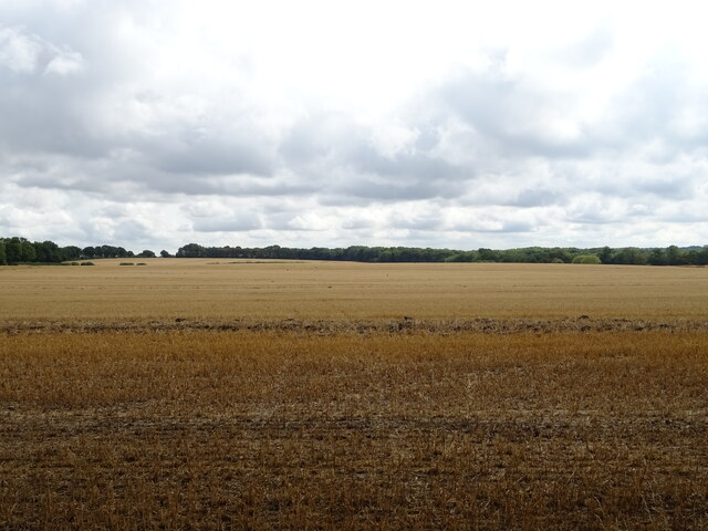
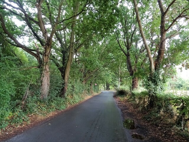
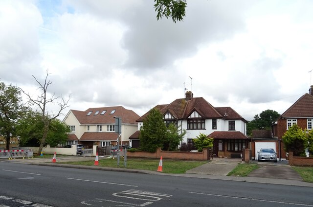
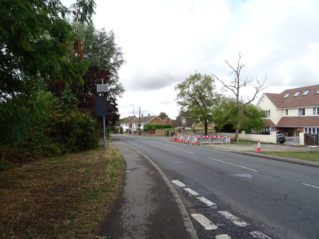
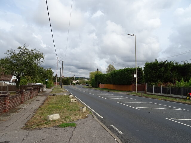
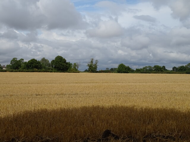
Havering's Grove is a charming village located in the county of Essex, England. Nestled amidst picturesque countryside and surrounded by lush green fields, this idyllic settlement offers a tranquil escape from the hustle and bustle of city life.
The village is renowned for its rich history, dating back to the medieval era. It is believed to have been established around the 12th century and was originally known as Haverings Grove. The name is derived from the Old English words "hafoc" meaning hawk, and "ing" which denotes a place associated with hawks. This suggests that the area was once a popular hunting ground for these majestic birds.
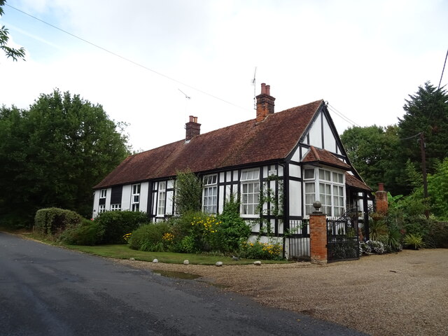
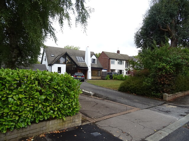
Visitors to Havering's Grove are greeted by a quaint village center adorned with charming cottages and historic buildings. One notable landmark is the St. Mary's Church, a beautiful 14th-century structure that stands as a testament to the village's architectural heritage.
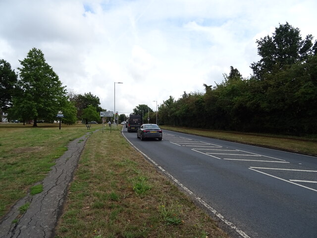
Nature enthusiasts will be delighted by the natural beauty that surrounds Havering's Grove. The village is situated in close proximity to several nature reserves and parks, offering ample opportunities for outdoor exploration and leisurely walks. The nearby Haverings Grove Country Park is particularly popular among locals and visitors alike, boasting scenic trails and picnic areas.
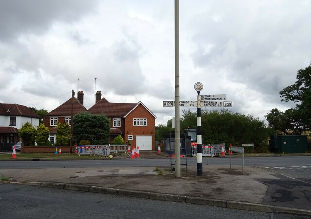
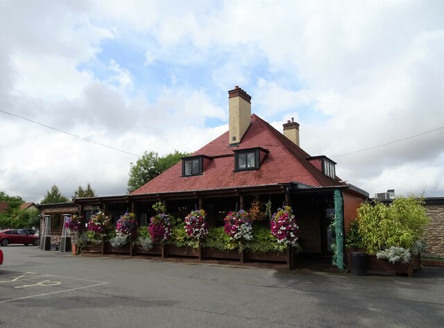
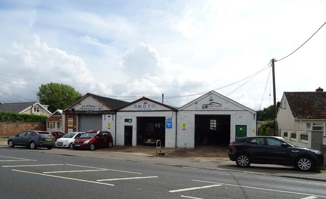
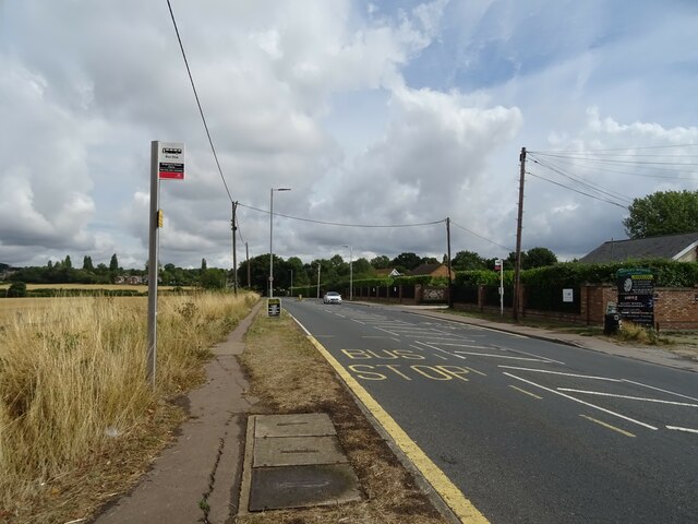
Despite its serene atmosphere, Havering's Grove is not far from essential amenities. The village is well-served by local shops, pubs, and eateries, ensuring that residents have access to all the necessary conveniences.
In summary, Havering's Grove is a charming village in Essex that combines a rich historical heritage with natural beauty. Its tranquil ambiance and proximity to nature make it an ideal destination for those seeking a peaceful escape in the English countryside.
If you have any feedback on the listing, please let us know in the comments section below.
Havering's Grove Images
Images are sourced within 2km of 51.625118/0.38372373 or Grid Reference TQ6594. Thanks to Geograph Open Source API. All images are credited.

Havering's Grove is located at Grid Ref: TQ6594 (Lat: 51.625118, Lng: 0.38372373)
Administrative County: Essex
District: Brentwood
Police Authority: Essex
What 3 Words
///glass.gather.phones. Near Billericay, Essex
Nearby Locations
Related Wikis

Havering's Grove
51.6269°N 0.3890°E / 51.6269; 0.3890 Havering’s Grove is a village in Essex, most of which lies in the Borough of Brentwood, with part in the Borough...
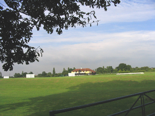
Toby Howe Cricket Ground
Toby Howe Cricket Ground is a cricket ground in Billericay, Essex. The first recorded match on the ground was in 1999, when Billericay Cricket Club played...

Hutton F.C.
Hutton Football Club is a football club based in Hutton, England. They are currently members of the Eastern Counties League Division One South and play...
Billericay Town F.C.
Billericay Town Football Club is a football club based in Billericay, Essex, England. The club are currently members of the Isthmian League Premier Division...

Hutton, Essex
Hutton is an area of Brentwood, Essex, England. It has good links to Central London (around 20 miles (32 km) to the south west) via Shenfield train station...

Hutton Country Park
Hutton Country Park is a 37.4 hectare Local Nature Reserve in Brentwood in Essex. It is owned and managed by Brentwood Borough Council.The River Wid forms...

Old Town Hall, Billericay
The Old Town Hall is a municipal building in the High Street, Billericay, Essex, England. The structure, which currently operates as a restaurant, was...

Cater Museum
The Cater Museum is a small local museum in Billericay, Essex county, England. The museum was established by Alice May Cater, in honour of her late husband...
Nearby Amenities
Located within 500m of 51.625118,0.38372373Have you been to Havering's Grove?
Leave your review of Havering's Grove below (or comments, questions and feedback).