Hatton Fields
Settlement in Derbyshire South Derbyshire
England
Hatton Fields
Hatton Fields is a charming village located in the county of Derbyshire, in the heart of England. Situated in the Amber Valley district, Hatton Fields is surrounded by picturesque countryside, rolling hills, and beautiful landscapes.
With a population of approximately 1,000 residents, Hatton Fields exudes a sense of tranquility and peacefulness. The village is known for its tight-knit community, with residents often engaging in various social activities and events. The locals take pride in their village, maintaining its traditional and rustic charm.
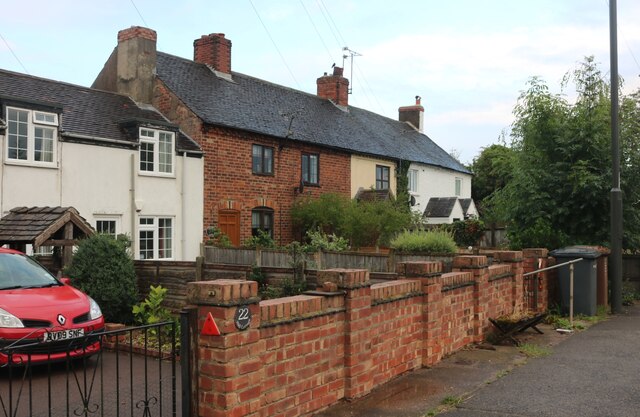
One of the prominent features of Hatton Fields is the historic Hatton Hall, a magnificent 17th-century manor house. The Hall is a Grade II listed building and serves as a reminder of the village's rich heritage. The well-preserved architecture and stunning gardens make Hatton Hall a popular destination for tourists and history enthusiasts.
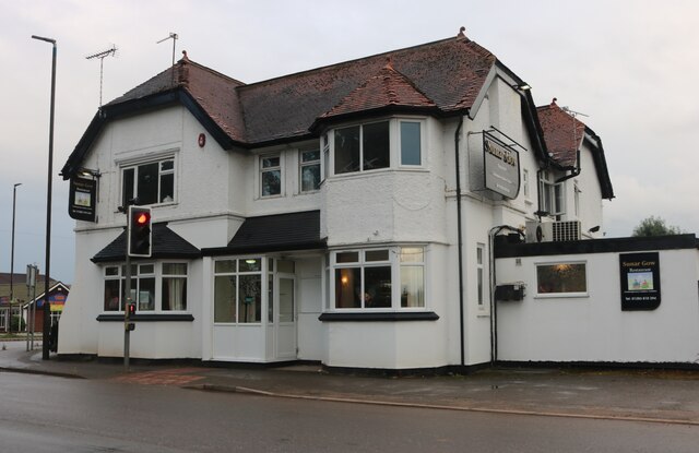
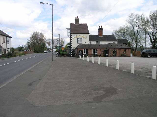
Hatton Fields is also home to a handful of local businesses, including a post office, a village shop, and a pub, which serves as a central hub for social gatherings and a place to enjoy a pint of locally brewed ale.
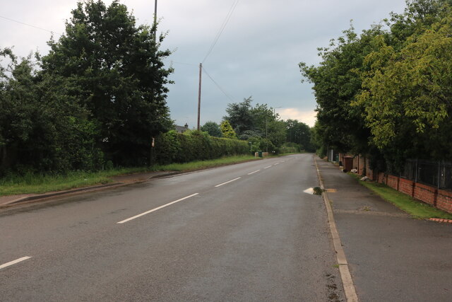
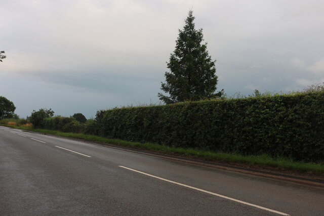
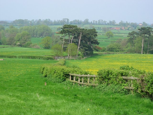
Surrounded by the stunning Derbyshire countryside, Hatton Fields offers numerous opportunities for outdoor activities such as hiking, cycling, and horseback riding. The village is conveniently located near several natural attractions, including the Peak District National Park, providing residents and visitors with ample opportunities to explore the great outdoors.
In summary, Hatton Fields is a quaint village in Derbyshire, known for its tight-knit community, historic manor house, and beautiful natural surroundings. Whether you are seeking a peaceful retreat or an adventure in the great outdoors, Hatton Fields is a destination worth exploring.
If you have any feedback on the listing, please let us know in the comments section below.
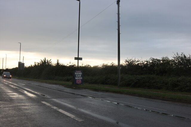
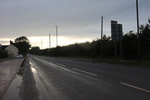
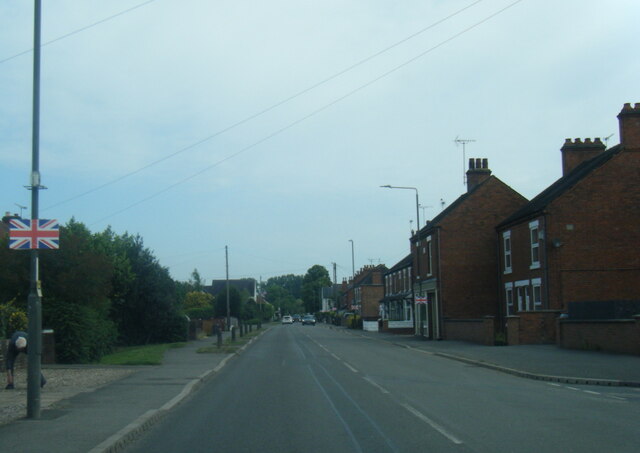
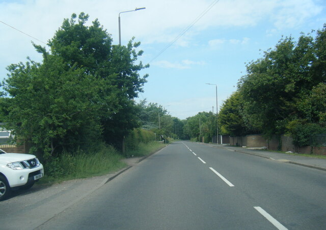
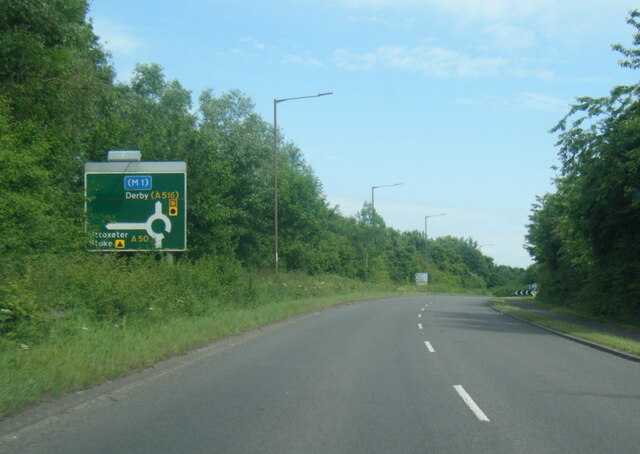
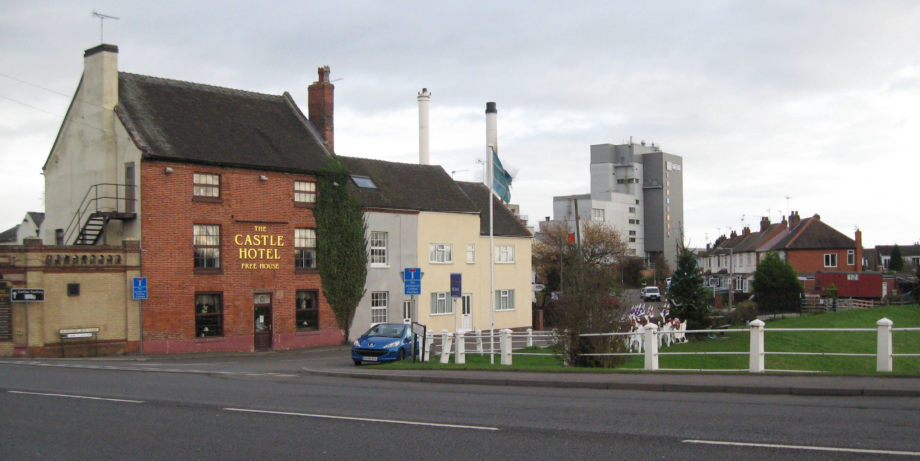
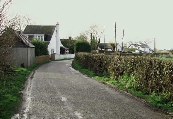
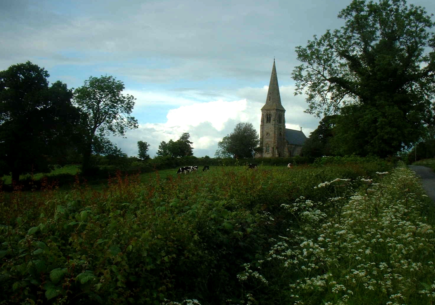
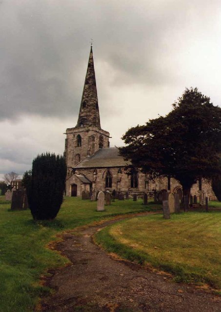
Hatton Fields Images
Images are sourced within 2km of 52.882388/-1.6711646 or Grid Reference SK2231. Thanks to Geograph Open Source API. All images are credited.
Hatton Fields is located at Grid Ref: SK2231 (Lat: 52.882388, Lng: -1.6711646)
Administrative County: Derbyshire
District: South Derbyshire
Police Authority: Derbyshire
What 3 Words
///assets.solutions.hardback. Near Etwall, Derbyshire
Nearby Locations
Related Wikis

Hoon, Derbyshire
Hoon is a civil parish within the South Derbyshire district, which is in the county of Derbyshire, England. It is a predominantly rural area with few residences...
Hatton, Derbyshire
Hatton is a village and civil parish in South Derbyshire, England. It is 4.5 miles (7.2 km) north of Burton upon Trent, 9.5 miles (15.3 km) south-west...

RAF Church Broughton
Royal Air Force Church Broughton or more simply RAF Church Broughton is a former Royal Air Force satellite airfield located near Church Broughton, Derbyshire...
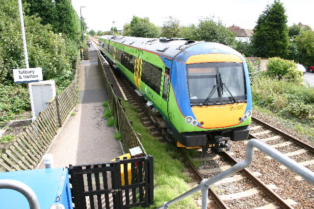
Tutbury and Hatton railway station
Tutbury and Hatton Station is a railway station in England, served by trains on the Crewe to Derby Line, which is a Community rail line known as the North...
Burntheath
Burntheath is a hamlet in Derbyshire, England. It is located 1 mile north of Hilton, and adjacent to the A50 road.
Badway Green
Badway Green is a piece of common land in the parish of Church Broughton in Derbyshire, England. == References ==
Sutton on the Hill
Sutton-on-the-Hill is a parish in south Derbyshire eight miles (13 km) west of Derby. The population of the civil parish taken at the 2011 Census was 123...
Marston on Dove
Marston on Dove (historically Marston Upon Dove) is a village and civil parish in South Derbyshire, nine miles (14 km) south west of Derby and two miles...
Nearby Amenities
Located within 500m of 52.882388,-1.6711646Have you been to Hatton Fields?
Leave your review of Hatton Fields below (or comments, questions and feedback).