Hatston
Settlement in Orkney
Scotland
Hatston
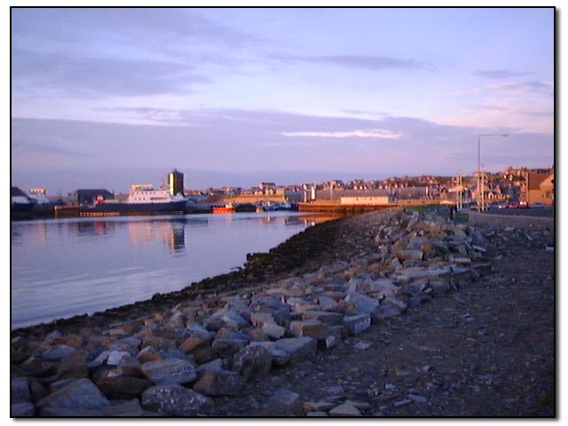
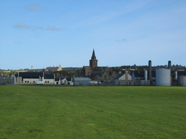
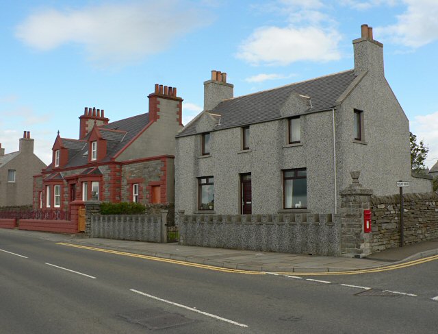
Hatston is a small residential area located on the eastern outskirts of Kirkwall, the largest town in Orkney, Scotland. Situated on the island of Mainland, it is known for its picturesque coastal setting and its proximity to various amenities and attractions.
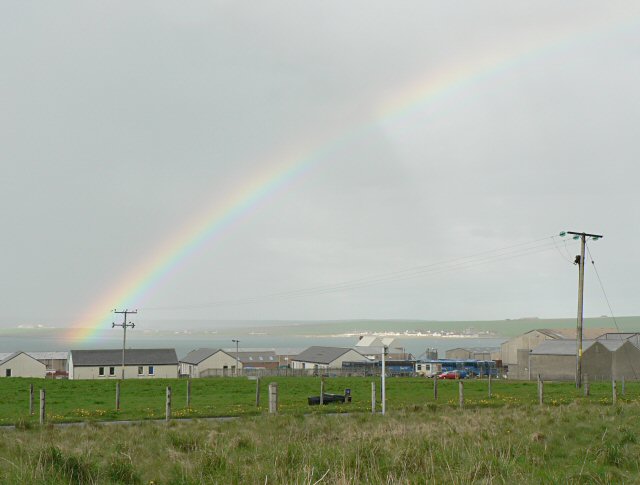
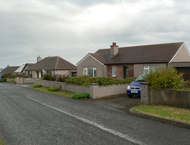
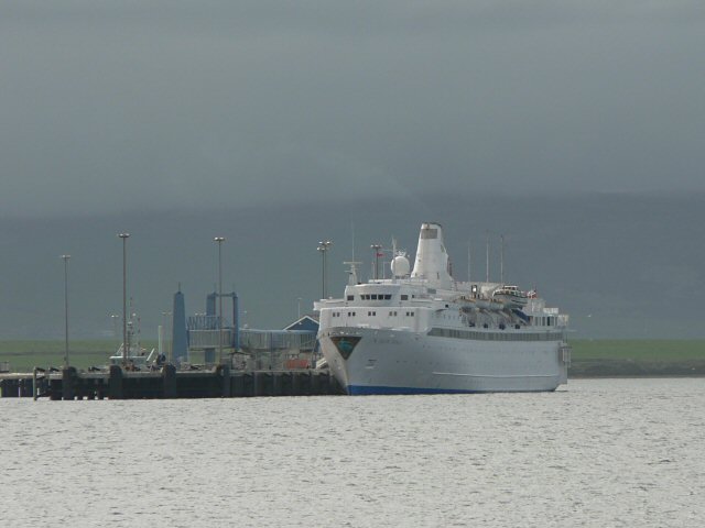
The area is primarily residential, with a mix of houses and apartments. It offers a peaceful and quiet environment, making it an attractive place to live. Hatston enjoys stunning views of the surrounding coastline, including the beautiful waters of Scapa Flow. The nearby Hatston Pier is a significant feature, serving as a ferry terminal for regular services to the nearby islands of Shapinsay and Hoy.
In terms of amenities, Hatston is well-served by local facilities. The nearby Hatston Industrial Estate houses a range of businesses, including a supermarket, restaurants, and other retail outlets, providing residents with convenient access to essential goods and services. Additionally, the area benefits from its proximity to Kirkwall, where residents can find a wider selection of shops, schools, healthcare facilities, and recreational opportunities.
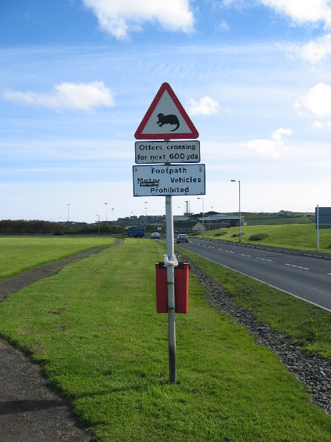
For outdoor enthusiasts, Hatston offers easy access to scenic walks along the coastline, where one can enjoy the natural beauty of Orkney's landscape. The nearby Hatston Quarry Nature Reserve provides a haven for wildlife, attracting birdwatchers and nature enthusiasts. Furthermore, the area is well-connected to Orkney's extensive network of cycling routes, making it an ideal base for exploring the archipelago's stunning scenery.
Overall, Hatston is a charming residential area with a tranquil atmosphere, breathtaking views, and convenient access to essential amenities, making it an attractive place to call home in Orkney.
If you have any feedback on the listing, please let us know in the comments section below.
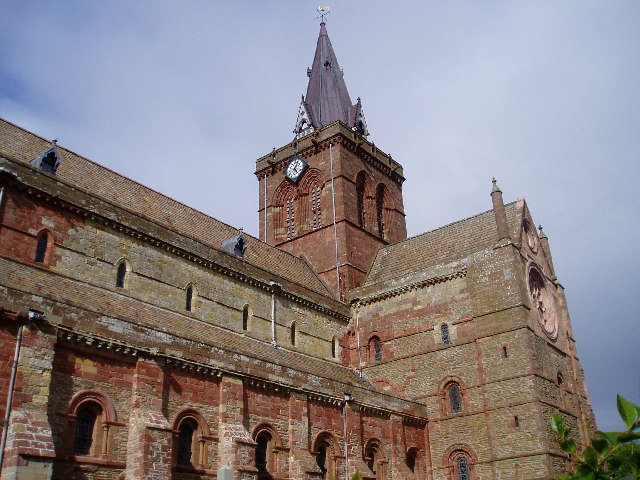
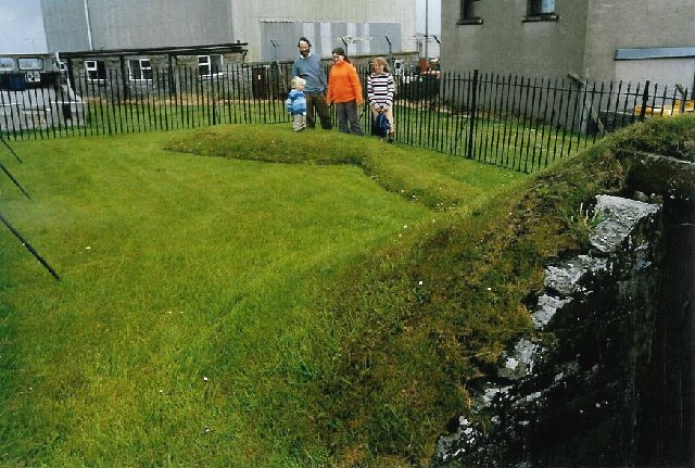
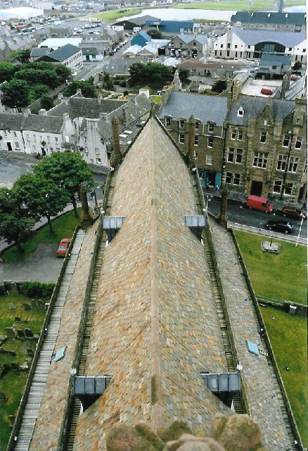
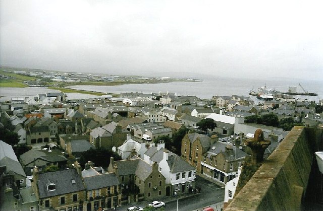
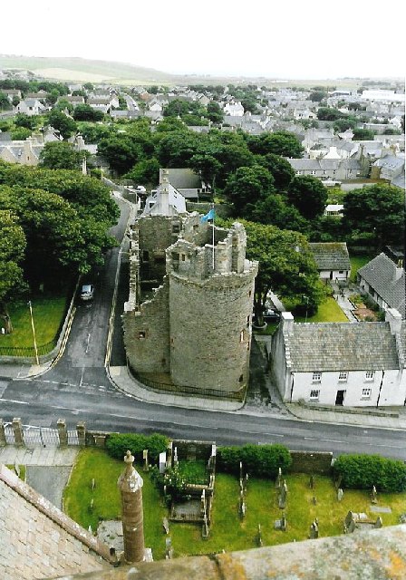
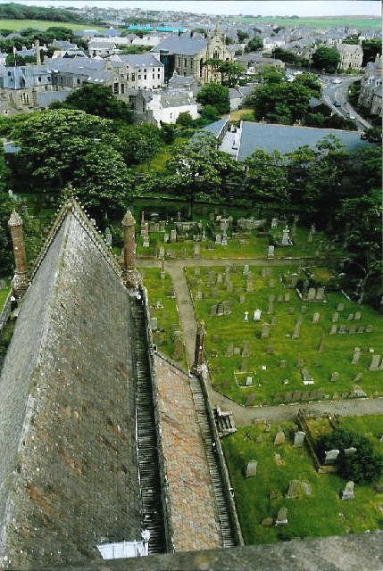
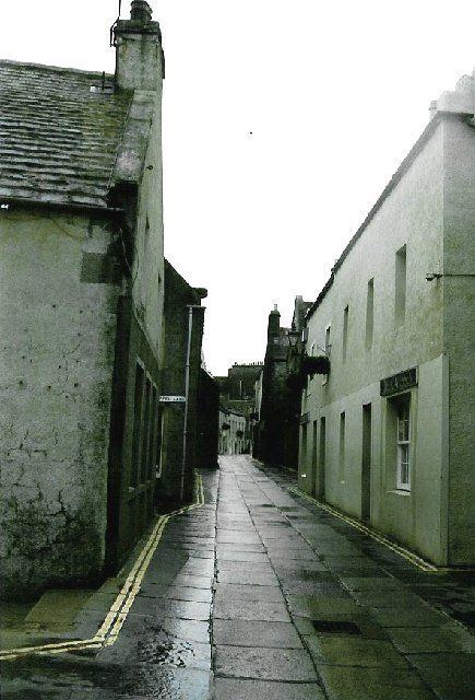
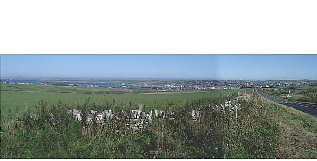
Hatston Images
Images are sourced within 2km of 58.991027/-2.9785636 or Grid Reference HY4311. Thanks to Geograph Open Source API. All images are credited.
Hatston is located at Grid Ref: HY4311 (Lat: 58.991027, Lng: -2.9785636)
Unitary Authority: Orkney Islands
Police Authority: Highlands and Islands
What 3 Words
///inversion.weekends.reinvest. Near Kirkwall, Orkney Islands
Nearby Locations
Related Wikis
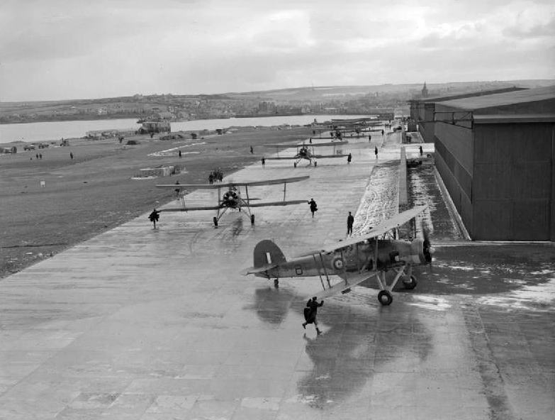
RNAS Hatston (HMS Sparrowhawk)
Royal Naval Air Station Hatston (RNAS Hatston, also called HMS Sparrowhawk), was a Royal Naval Air Station, one mile to the north west of Kirkwall on the...

The Pickaquoy Centre
The Pickaquoy Centre, locally known as the Picky Centre, or simply Picky, is a multi-use leisure centre in Kirkwall, Orkney, Scotland. It is the largest...
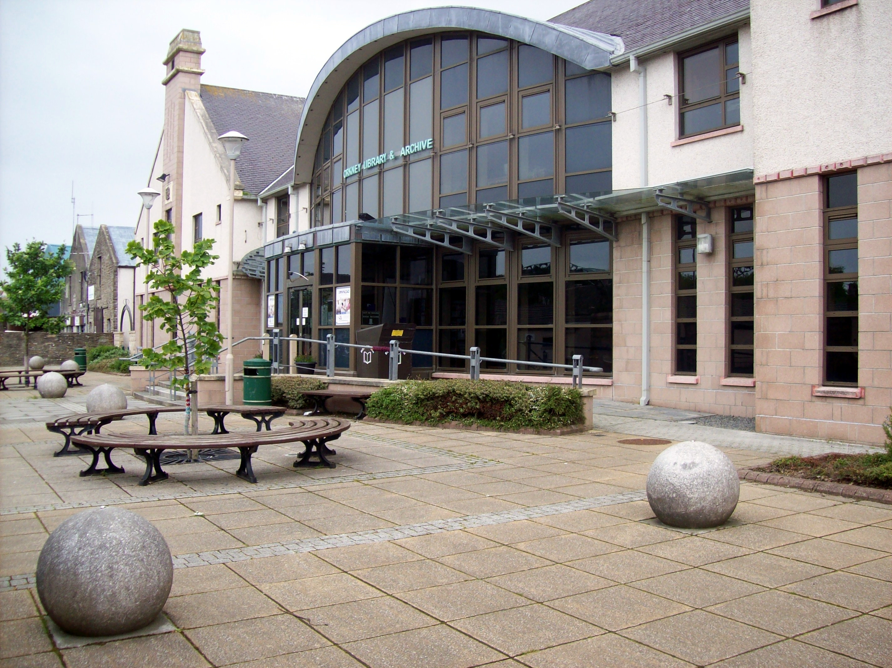
Orkney Library and Archive
Orkney Library and Archive is a Scottish public library service based in Kirkwall, Orkney. Founded in 1683, Orkney Library is the oldest public library...

Orkney Wireless Museum
The Orkney Wireless Museum in Kirkwall, Orkney, Scotland, houses a collection of domestic and military wireless equipment. It developed from the private...
Nearby Amenities
Located within 500m of 58.991027,-2.9785636Have you been to Hatston?
Leave your review of Hatston below (or comments, questions and feedback).