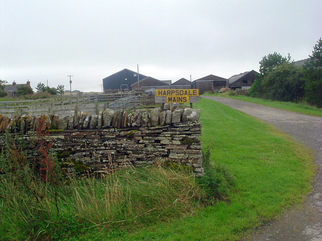
Harpsdale

Settlement in Caithness

Scotland

Harpsdale

Money can't buy taste New build - like something from Dallas!
Money can't buy taste Credit: Peter Moore

Harpsdale is a small village located in the county of Caithness, in the northernmost part of mainland Scotland. Situated on the eastern bank of the River Thurso, it is surrounded by picturesque countryside and boasts a tranquil and idyllic setting.

The village of Harpsdale is known for its rich history, dating back to ancient times. It is believed to have been inhabited since the Neolithic period, with archaeological evidence suggesting the presence of settlements in the area. The nearby Hill O' Many Stanes is a popular attraction, consisting of a collection of standing stones that are thought to have served a ceremonial purpose.

The village itself is home to a close-knit community, characterized by its friendly and welcoming atmosphere. The residents of Harpsdale take great pride in their village, maintaining its traditional charm and heritage. The local primary school plays a central role in the community, providing education and support to the village's children.

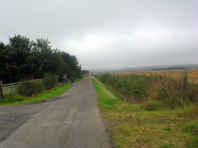
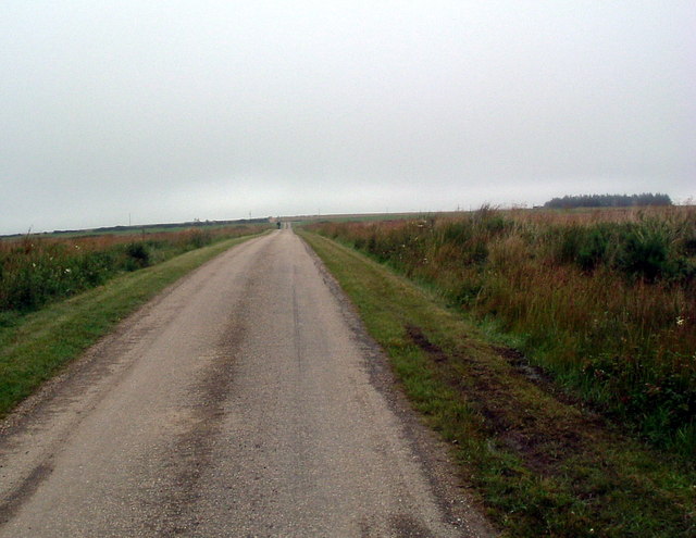
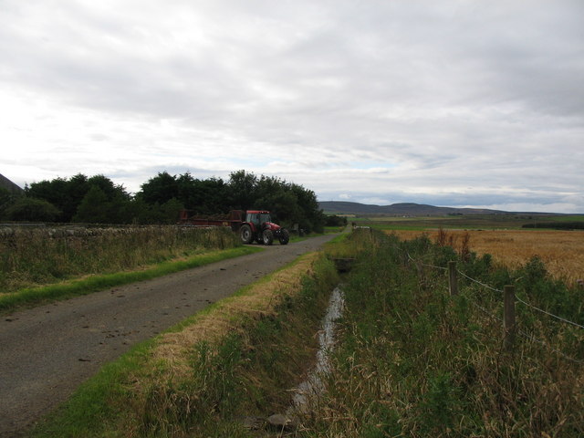
Nature enthusiasts are drawn to Harpsdale due to its stunning natural surroundings. The nearby River Thurso is renowned for its excellent fishing opportunities, particularly for salmon and trout. The surrounding countryside offers ample opportunities for outdoor activities such as hiking, cycling, and birdwatching.

While Harpsdale is primarily a residential area, it benefits from its proximity to the larger town of Thurso, which lies just a few miles to the north. Thurso provides residents with access to a wider range of amenities, including shops, supermarkets, and healthcare facilities.

In summary, Harpsdale is a charming village in Caithness, Scotland, offering a peaceful and picturesque setting, a rich history, and opportunities for outdoor pursuits. It is a place where community spirit thrives, and residents can enjoy the natural beauty of the Scottish Highlands.

If you have any feedback on the listing, please let us know in the comments section below.
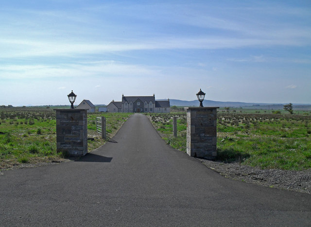
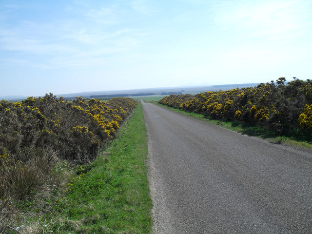
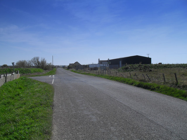
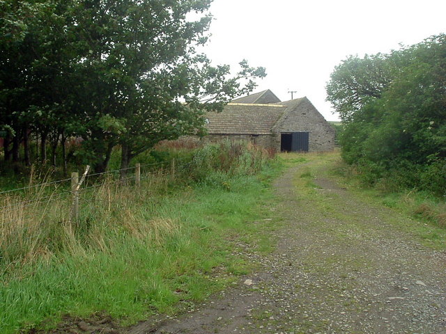
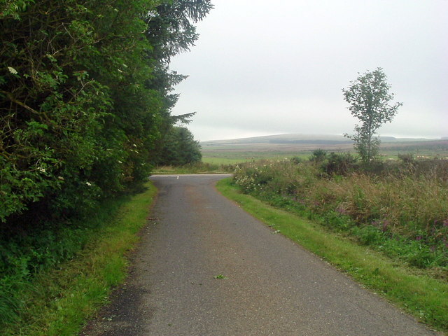
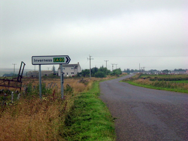
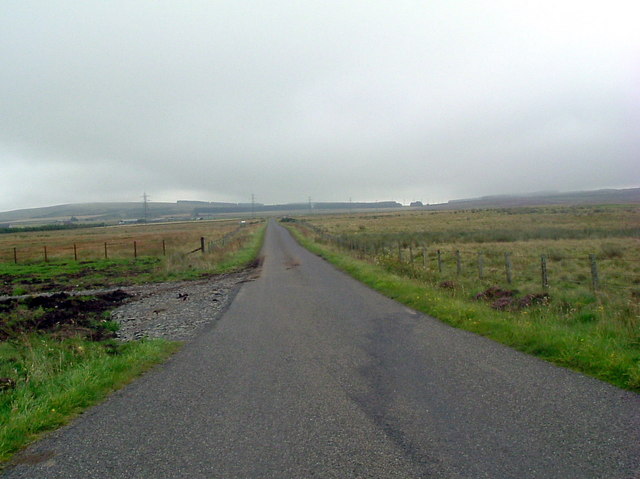
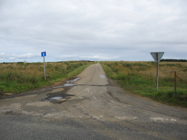
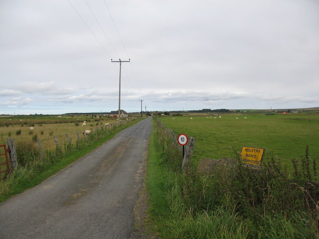
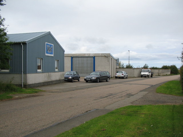
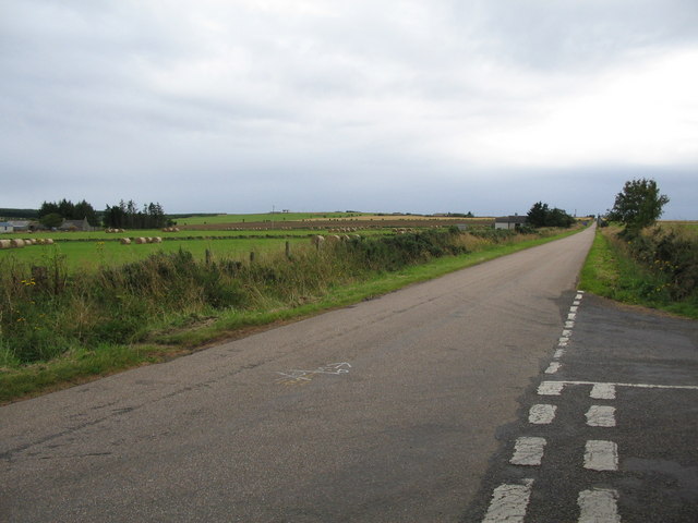
Harpsdale Images

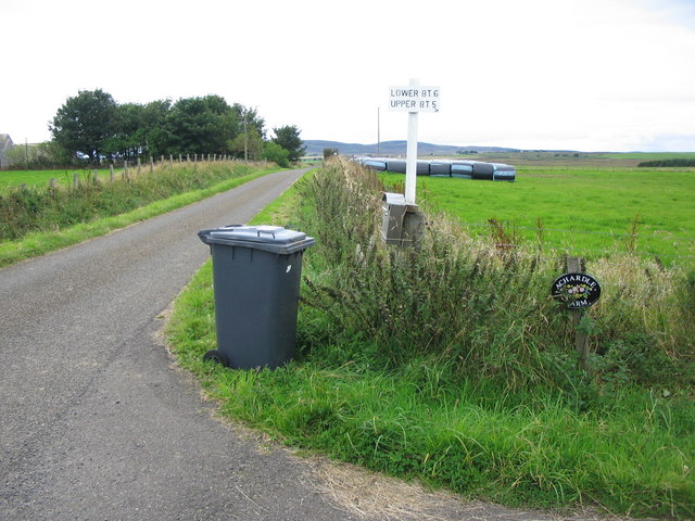
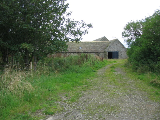
Images are sourced within 2km of 58.484755/-3.4894869 or Grid Reference ND1356. Thanks to Geograph Open Source API. All images are credited.

Money can't buy taste New build - like something from Dallas!
Money can't buy taste
New build - like something from Dallas!
Road down to Westerdale Good to cycle down....
Road down to Westerdale
Good to cycle down....
Gentle climb out of Halkirk
Derelict  farm At Buleney
Derelict farm
At Buleney
Farm Sign
Farm Sign
Road at Harpsdale Looking east
Road at Harpsdale
Looking east
Power lines At Achalone
Power lines
At Achalone
Drive to Bannachmore
T junction at Harpsdale
Road sign at Houstry
Road near Houstry Looking southeast
Road near Houstry
Looking southeast
Lane to Upper Achies A view looking to the east along the lane to Upper Achies.
Lane to Upper Achies
A view looking to the east along the lane to Upper Achies.
Track to Houstry Mains A view looking to the east along the track to Houstry Mains farmhouse.
Track to Houstry Mains
A view looking to the east along the track to Houstry Mains farmhouse.
Engineering works at Harpsdale A view looking to the north towards an engineering workshop at Harpsdale.
Engineering works at Harpsdale
A view looking to the north towards an engineering workshop at Harpsdale.
Road junction at Harpsdale A view looking to the south along the lane through Harpsdale. The junction of the lane to Strathcoul is on the right.
Road junction at Harpsdale
A view looking to the south along the lane through Harpsdale. The junction of the lane to Strathcoul is on the right.
Approaching Harpsdale Mains A view looking to the west along the lane between Harpsdale and Strathcoul. The tractor is emerging from the entrance to Harpsdale Mains.
Approaching Harpsdale Mains
A view looking to the west along the lane between Harpsdale and Strathcoul. The tractor is emerging from the entrance to Harpsdale Mains.
Lane to Achardale Farm A view looking to the north along the lane to Achardale Farm.
Lane to Achardale Farm
A view looking to the north along the lane to Achardale Farm.
Buleney farm A view looking to the southwest along the rather overgrown track to Buleney farm. The buildings seemed rather neglected.
Buleney farm
A view looking to the southwest along the rather overgrown track to Buleney farm. The buildings seemed rather neglected.
Show me another place!

Harpsdale is located at Grid Ref: ND1356 (Lat: 58.484755, Lng: -3.4894869)

Unitary Authority: Highland

Police Authority: Highlands and Islands

What 3 Words

///rattler.copes.array. Near Halkirk, Highland

Nearby Locations

Harpsdale

Related Wikis

Battle of Harpsdale

The Battle of Harpsdale (Battle of Achardale, Battle of Harpasdal) was a Scottish clan battle fought in 1426 at Achardale, about 8 miles (13 km) south...

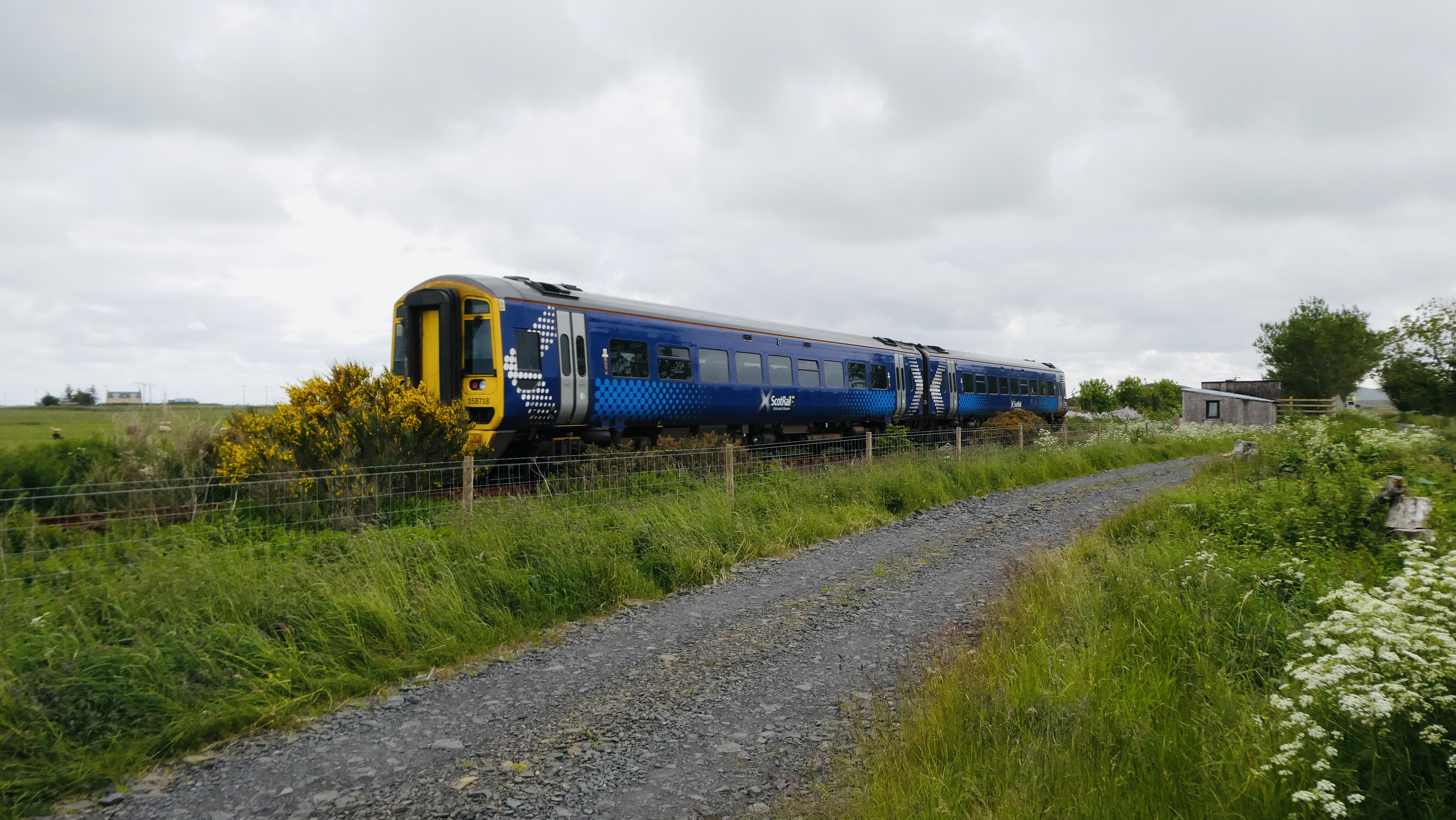
Halkirk railway station

Halkirk was a railway station located on the southern edge of the village of Halkirk, in Caithness in the Highland council area. The station opened on...

Halkirk

Halkirk (Scottish Gaelic: Hàcraig) is a village on the River Thurso in Caithness, in the Highland council area of Scotland. From Halkirk the B874 road...

Olgrinmore

Olgrinmore is a small area in Halkirk, Northern Scotland, south of Thurso and John o' Groats. The B870 runs directly through the centre with Scotscalder...

Nearby Amenities

Located within 500m of 58.484755,-3.4894869
Bus Stop
Smithy
Naptan AtcoCode: 6700712760
Naptan Bearing: W
Naptan CommonName: Smithy
Naptan Indicator: opp
Naptan Landmark: Harpsdale Smithy
Naptan NaptanCode: 45328283
Naptan Street: Strathcoul Road
Naptan Verified: no
Source: naptan_import
Lat/Long: 58.4846624/-3.4902707
Harpsdale
Place: hamlet
Lat/Long: 58.485104/-3.4913155
Power: pole
Lat/Long: 58.4825338/-3.4861325
Power: pole
Lat/Long: 58.4825105/-3.4875559
Power: pole
Lat/Long: 58.4824919/-3.4894604
Power: pole
Lat/Long: 58.4886809/-3.4855813
Power: pole
Lat/Long: 58.4885377/-3.4864503
Power: pole
Lat/Long: 58.4883169/-3.4873356
Power: pole
Lat/Long: 58.4880909/-3.4881883
Power: pole
Lat/Long: 58.4876706/-3.4892106
Power: pole
Lat/Long: 58.4872063/-3.4898888
Power: pole
Lat/Long: 58.4865632/-3.49077
Power: pole
Lat/Long: 58.4858543/-3.4917791
Power: pole
Lat/Long: 58.485331/-3.4925364
Power: pole
Lat/Long: 58.4848099/-3.4940876
Power: pole
Lat/Long: 58.4843419/-3.4954805
Power: pole
Lat/Long: 58.4835214/-3.4954764
Power: pole
Lat/Long: 58.4820058/-3.4954927
Power: pole
Lat/Long: 58.4882628/-3.4886208
Power: pole
Lat/Long: 58.4884644/-3.4891071
Power: pole
Lat/Long: 58.4821143/-3.4941364
Power: pole
Lat/Long: 58.4822459/-3.4925019
Power: pole
Lat/Long: 58.4823765/-3.4908776
The data included in this document is from www.openstreetmap.org. The data is made available under ODbL.

Have you been to Harpsdale?

Leave your review of Harpsdale below (or comments, questions and feedback).