Harpesford

Settlement in Surrey Runnymede

England

Harpesford

The Old School Café On Longcross Road (B386).
The Old School Café Credit: JThomas

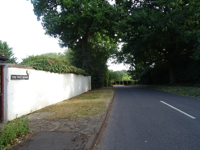
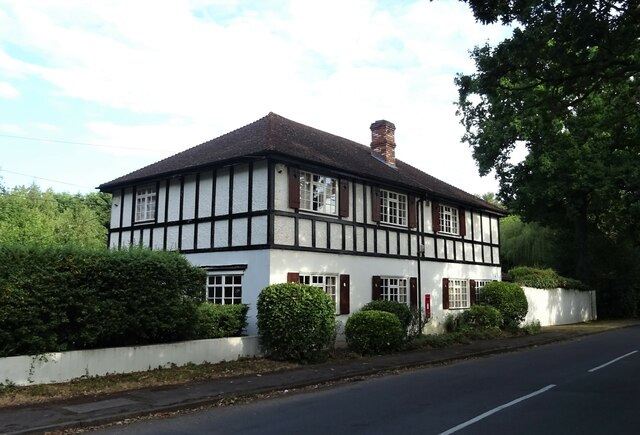
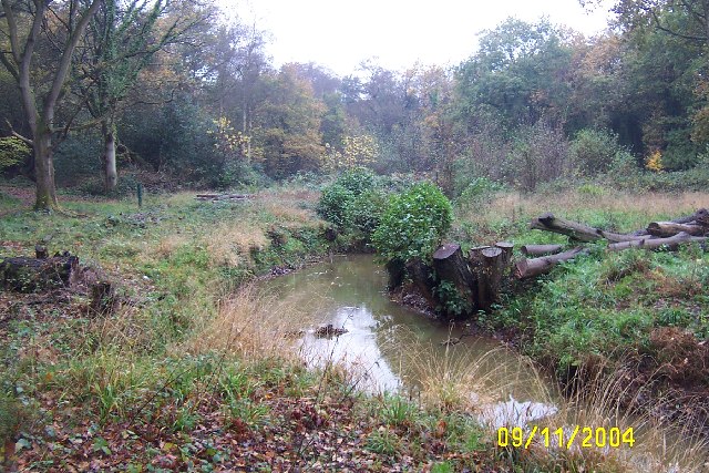
Harpesford is a charming village located in the county of Surrey, England. Situated amidst the picturesque countryside, it offers residents and visitors a peaceful and idyllic setting to enjoy. The village is positioned on the banks of the River Harp, from which it derives its name.

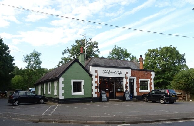
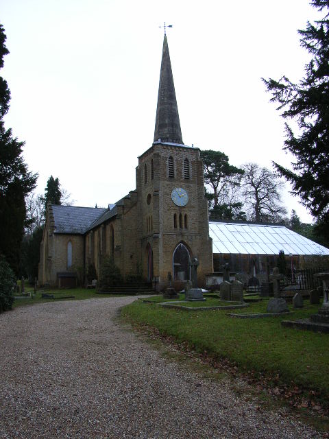
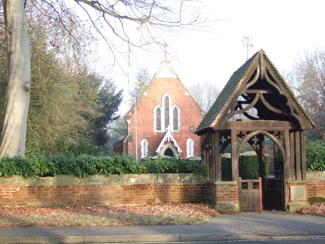
Harpesford is renowned for its rich historical significance. The village has a long history dating back to medieval times, and remnants of this era are scattered throughout. The centerpiece of the village is St. Mary's Church, a stunning example of medieval architecture, which stands tall as a testament to Harpesford's heritage.

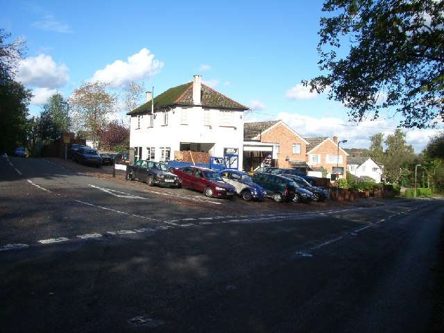
The village boasts a close-knit community, with a population of around 1,500 residents. It offers a range of amenities and facilities to cater to the needs of its inhabitants. A local primary school provides education for the younger generations, while a handful of traditional pubs and restaurants serve as meeting spots for locals and visitors alike.

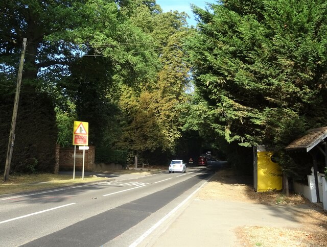
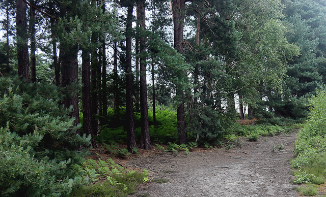
Nature lovers will find themselves at home in Harpesford, as the surrounding countryside offers an abundance of scenic trails and green spaces to explore. The village is also conveniently located near several nature reserves and parks, providing ample opportunities for outdoor activities such as hiking, cycling, and picnicking.

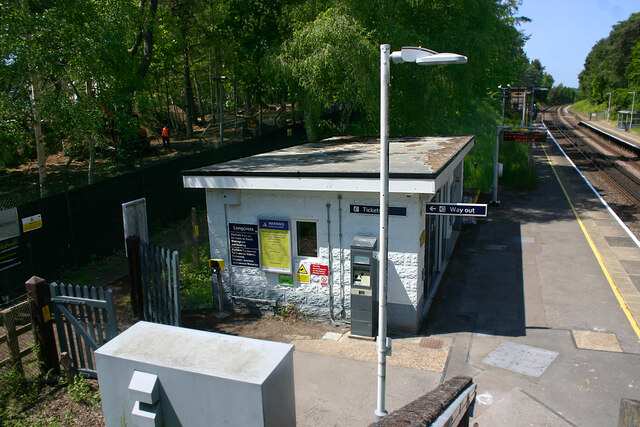
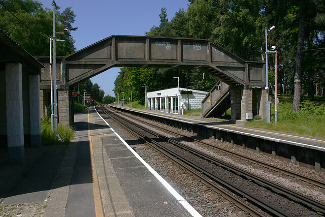
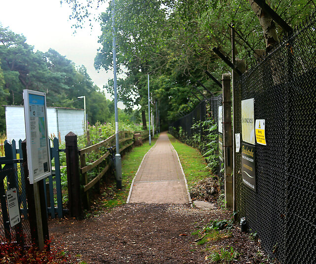
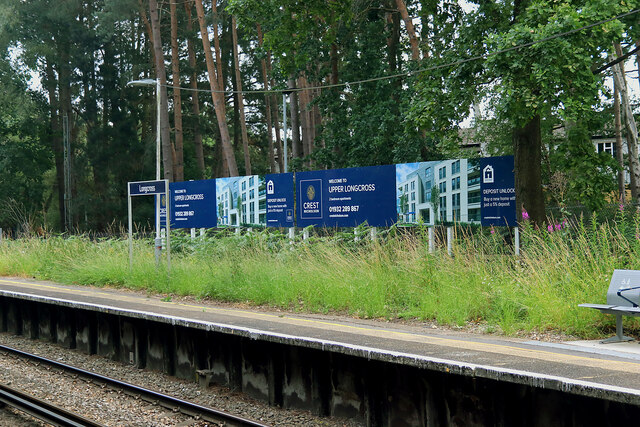
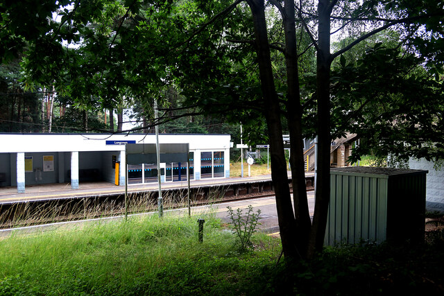
Harpesford is well-connected to nearby towns and cities, with good transport links allowing for easy access. The village exudes a certain tranquility, making it an attractive destination for those seeking a peaceful retreat away from the hustle and bustle of urban life.

If you have any feedback on the listing, please let us know in the comments section below.

Harpesford Images

Images are sourced within 2km of 51.394686/-0.57605219 or Grid Reference SU9967. Thanks to Geograph Open Source API. All images are credited.

The Old School Café On Longcross Road (B386).
The Old School Café
On Longcross Road (B386).
Kitsmead Lane Towards Virginia Water.
Kitsmead Lane
Towards Virginia Water.
Longcross Road (B386) Towards Addlestone.
Longcross Road (B386)
Towards Addlestone.
Elizabeth II postbox on Kitsmead Lane Postbox No. KT16 82.
Elizabeth II postbox on Kitsmead Lane
Postbox No. KT16 82.
The Post House on Kitsmead Lane Showing position of Postbox No. KT16 82.
The Post House on Kitsmead Lane
Showing position of Postbox No. KT16 82.
Longcross station - entrance The facilities at and the service to Longcross have improved somewhat since the station was last Geographed in 2017. This reflects the fact that the adjacent former MoD site is now used by Longcross (film) Studios and that residential development has taken place at Upper Longcross nearby. Although there is still no direct road access the station, it is accessible along a made-up footpath. Despite the Tickets sign on the wall, the Permit to Travel machine was out of order.
Longcross station - entrance
The facilities at and the service to Longcross have improved somewhat since the station was last Geographed in 2017. This reflects the fact that the adjacent former MoD site is now used by Longcross (film) Studios and that residential development has taken place at Upper Longcross nearby. Although there is still no direct road access the station, it is accessible along a made-up footpath. Despite the Tickets sign on the wall, the Permit to Travel machine was out of order.
Longcross station looking west The facilities at and the service to Longcross have improved somewhat since the station was last Geographed in 2017. This reflects the fact that the adjacent former MoD site is now used by Longcross (film) Studios and that residential development has taken place at Upper Longcross nearby. Note that part of the previously spartan waiting room has now been glazed. Although there is still no direct road access the station, it is accessible along a made-up footpath. Despite the Tickets sign on the wall, the Permit to Travel machine was out of order.
Longcross station looking west
The facilities at and the service to Longcross have improved somewhat since the station was last Geographed in 2017. This reflects the fact that the adjacent former MoD site is now used by Longcross (film) Studios and that residential development has taken place at Upper Longcross nearby. Note that part of the previously spartan waiting room has now been glazed. Although there is still no direct road access the station, it is accessible along a made-up footpath. Despite the Tickets sign on the wall, the Permit to Travel machine was out of order.
Entrance to Crest Longcross Site An entrance to the former military site now in part occupied by Longcross Studios and being developed by Crest Nicholson.
Entrance to Crest Longcross Site
An entrance to the former military site now in part occupied by Longcross Studios and being developed by Crest Nicholson.
Footpath leading east to Longcross station This path through the woods links Burma Road and Chobham Common to the station and seems to be used mainly by walkers on the common.
Footpath leading east to Longcross station
This path through the woods links Burma Road and Chobham Common to the station and seems to be used mainly by walkers on the common.
Footpath leading east from Longcross station There is no road access to this station. This made-up footpath leads to the Crest Nicholson housing development at Upper Longcross.
Footpath leading east from Longcross station
There is no road access to this station. This made-up footpath leads to the Crest Nicholson housing development at Upper Longcross.
Sign proclaiming Upper Longcross at Longcross station Upper Longcross is a housing development on land adjacent to the former defence establishment at Longcross and is a few minutes walk from the station along a footpath. The area around the station is now more user-friendly in appearance than earlier Geographs suggested.
Sign proclaiming Upper Longcross at Longcross station
Upper Longcross is a housing development on land adjacent to the former defence establishment at Longcross and is a few minutes walk from the station along a footpath. The area around the station is now more user-friendly in appearance than earlier Geographs suggested.
Longcross station, up-side This station now looks less spartan than it did in the recent past when very few trains called there each day. A second (and locked) exit gate can be seen to the left of the steps.
Longcross station, up-side
This station now looks less spartan than it did in the recent past when very few trains called there each day. A second (and locked) exit gate can be seen to the left of the steps.
The Bourne, Virginia Water Recent clearance of trees has opened up this scene of The Bourne in the woodland between Virginia Water and Trumps Green. This view is taken looking westwards and upstream.
The Bourne, Virginia Water
Recent clearance of trees has opened up this scene of The Bourne in the woodland between Virginia Water and Trumps Green. This view is taken looking westwards and upstream.
Garage at the junction of Wellington Avenue and Trumpsgreen Road looking north
Garage at the junction of Wellington Avenue and Trumpsgreen Road
looking north
Chobham Lane looking north-east
Chobham Lane
looking north-east
Christ Church, Virginia Water
Christ Church Longcross Road, Longcross
Christ Church
Longcross Road, Longcross
M3 West View down the M3 from a bridge over
M3 West
View down the M3 from a bridge over
Show me another place!

Harpesford is located at Grid Ref: SU9967 (Lat: 51.394686, Lng: -0.57605219)

Administrative County: Surrey

District: Runnymede

Police Authority: Surrey

What 3 Words

///crisp.barn.jabs. Near Virginia Water, Surrey

Nearby Locations

Harpesford Trumps Green

Related Wikis

Riverside Walk, Virginia Water

Riverside Walk is a 21.2-hectare (52-acre) local nature reserve in Virginia Water, Surrey. It is owned by Runnymede Borough Council and managed by The...

Wentworth Estate

The Wentworth Estate is a private estate of large houses set in about 2.7 sq mi (7 km2) of woodland, in Runnymede, Surrey. It lies on a gently undulating...

1953 Ryder Cup

The 10th Ryder Cup Matches were held 2–3 October 1953 at Wentworth Club in Virginia Water, Surrey, England, west of London. The United States team won...

1995 Volvo PGA Championship

The 1995 Volvo PGA Championship was the 41st edition of the Volvo PGA Championship, an annual professional golf tournament on the European Tour. It was...

Nearby Amenities

Located within 500m of 51.394686,-0.57605219
Turning Circle
Lat/Long: 51.3967494/-0.5733781
Bus Stop
Cabrera Avenue
Bus: yes
Naptan AtcoCode: 40004401053A
Naptan Bearing: W
Naptan CommonName: Cabrera Avenue
Naptan Indicator: Just after
Naptan Landmark: Cabrera Avenue
Naptan NaptanCode: surajmpt
Naptan Street: Crown Road
Naptan Verified: no
Public Transport: platform
Source: naptan_import
Lat/Long: 51.3959467/-0.5719565
Bus Stop
King George V Playing Field
Bench: no
Bus: yes
Naptan AtcoCode: 40004401054A
Naptan Bearing: SW
Naptan CommonName: King George V Playing Field
Naptan Indicator: adj
Naptan Landmark: King George V Playing Field
Naptan NaptanCode: surajmtp
Naptan Street: Crown Road
Naptan Verified: no
Public Transport: platform
Shelter: no
Source: naptan_import
Tactile Paving: no
Lat/Long: 51.3952646/-0.5750298
Bus Stop
Oak Tree Close
Naptan AtcoCode: 40004401056A
Naptan Bearing: NE
Naptan CommonName: Oak Tree Close
Naptan Indicator: Just Before
Naptan Landmark: Oak Tree Close
Naptan NaptanCode: surajmwm
Naptan Street: Trumpsgreen Road
Naptan Verified: no
Public Transport: platform
Source: naptan_import
Lat/Long: 51.3938995/-0.5718586
Post Box
Operator: Royal Mail
Post Box Type: lamp
Ref: GU25 78
Source: survey
Lat/Long: 51.3909162/-0.5752584
Knowle Hill
Place: locality
Lat/Long: 51.3923448/-0.577158
Potnall Warren
Place: locality
Lat/Long: 51.3944124/-0.5801308
Knowlehill
Place: hamlet
Lat/Long: 51.3947074/-0.575953
Turning Circle
Lat/Long: 51.391536/-0.5744783
Addr District: Runnymede
Building: semidetached_house
Lat/Long: 51.3967066/-0.5725545
1 Hawthorn Cottages
Addr Street: Wellington Avenue
Tourism: apartment
Lat/Long: 51.393306/-0.5748832
Post Box
Operator: Royal Mail
Post Box Type: lamp
Ref: GU25 49D
Royal Cypher: EIIR
Royal Cypher Wikidata: Q33102113
Lat/Long: 51.3937283/-0.5751085
Bench
Lat/Long: 51.3964936/-0.5694591
The data included in this document is from www.openstreetmap.org. The data is made available under ODbL.

Have you been to Harpesford?

Leave your review of Harpesford below (or comments, questions and feedback).