Hardwick

Settlement in Lincolnshire West Lindsey

England

Hardwick

Tom Otter's Bridge A modern concrete bridge has replaced an earlier one that carried a bench mark on the London to Doncaster levelling line.  This line was surveyed 1848-1851 as part of the First Geodetic Levelling of England and Wales (1GL).  See <span class="nowrap"><a title="https://www.bench-marks.org.uk/bm29990" rel="nofollow ugc noopener" href="https://www.bench-marks.org.uk/bm29990">Link</a><img style="margin-left:2px;" alt="External link" title="External link - shift click to open in new window" src="https://s1.geograph.org.uk/img/external.png" width="10" height="10"/></span> for details of the mark.  A modern rivet benchmark is on the right hand pipeline buttress.  See <span class="nowrap"><a title="https://www.bench-marks.org.uk/bm30008" rel="nofollow ugc noopener" href="https://www.bench-marks.org.uk/bm30008">Link</a><img style="margin-left:2px;" alt="External link" title="External link - shift click to open in new window" src="https://s1.geograph.org.uk/img/external.png" width="10" height="10"/></span> for details of that mark.  The pipeline is a water supply pipe from Elkesley, Nottinghamshire to Lincoln.
Tom Otter's Bridge Credit: Brian Westlake

Hardwick is a small village located in the county of Lincolnshire, England. It is situated approximately 8 miles north of the town of Horncastle and has a population of around 300 residents. The village is known for its picturesque countryside views and tranquil atmosphere.

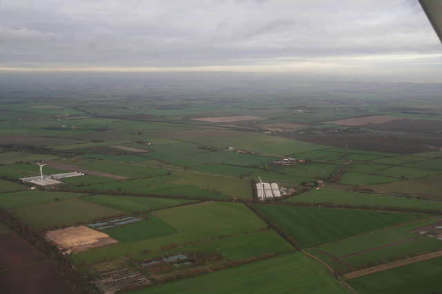
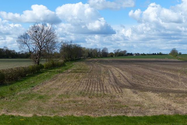
Hardwick is a rural community surrounded by farmland and rolling hills, making it an ideal location for those seeking a peaceful and idyllic setting. The village is home to a few amenities, including a local pub, a village hall, and a church, providing residents with essential services and a sense of community.

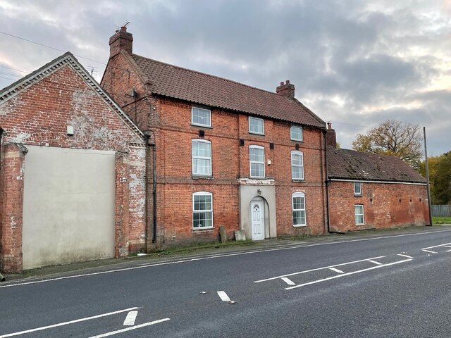
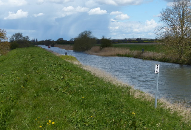
The village has a rich history, with evidence of settlements dating back to the Roman era. Today, Hardwick retains much of its traditional charm, with a mix of old and new buildings lining its quaint streets. The surrounding area offers plenty of opportunities for outdoor activities such as hiking, cycling, and birdwatching.

Overall, Hardwick is a charming village that offers a quiet and close-knit community lifestyle, making it a desirable place to live for those looking to escape the hustle and bustle of city life.

If you have any feedback on the listing, please let us know in the comments section below.
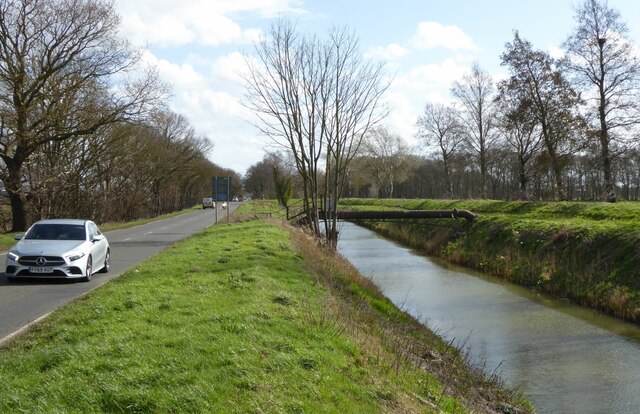
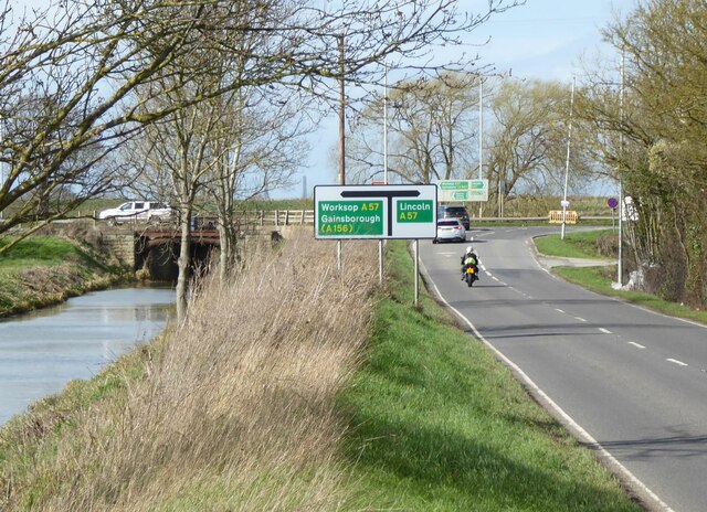
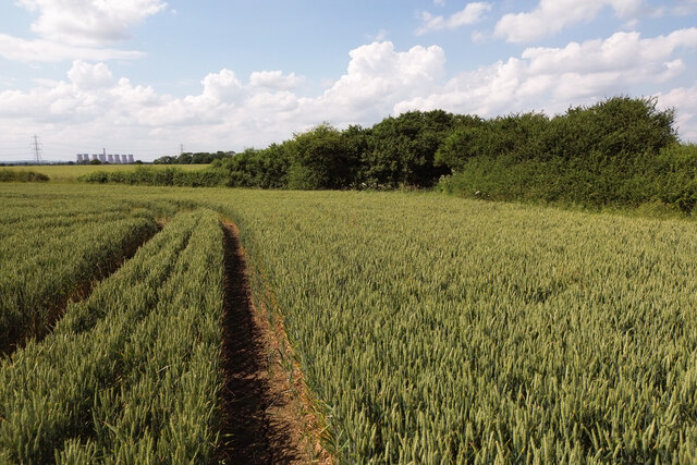
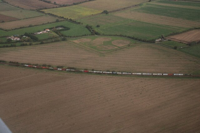
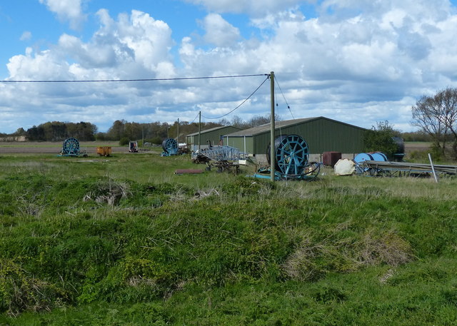
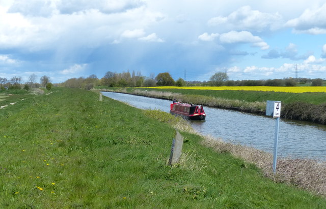
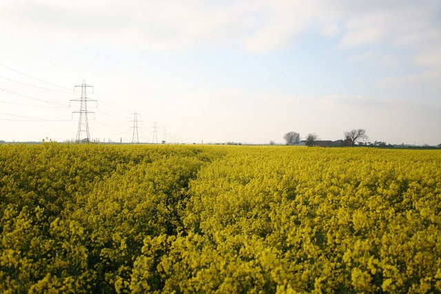
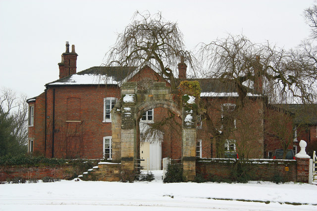
Hardwick Images

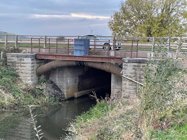
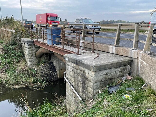
Images are sourced within 2km of 53.270216/-0.69755007 or Grid Reference SK8675. Thanks to Geograph Open Source API. All images are credited.

Tom Otter's Bridge A modern concrete bridge has replaced an earlier one that carried a bench mark on the London to Doncaster levelling line.  This line was surveyed 1848-1851 as part of the First Geodetic Levelling of England and Wales (1GL).  See <span class="nowrap"><a title="https://www.bench-marks.org.uk/bm29990" rel="nofollow ugc noopener" href="https://www.bench-marks.org.uk/bm29990">Link</a><img style="margin-left:2px;" alt="External link" title="External link - shift click to open in new window" src="https://s1.geograph.org.uk/img/external.png" width="10" height="10"/></span> for details of the mark.  A modern rivet benchmark is on the right hand pipeline buttress.  See <span class="nowrap"><a title="https://www.bench-marks.org.uk/bm30008" rel="nofollow ugc noopener" href="https://www.bench-marks.org.uk/bm30008">Link</a><img style="margin-left:2px;" alt="External link" title="External link - shift click to open in new window" src="https://s1.geograph.org.uk/img/external.png" width="10" height="10"/></span> for details of that mark.  The pipeline is a water supply pipe from Elkesley, Nottinghamshire to Lincoln.
Tom Otter's Bridge
A modern concrete bridge has replaced an earlier one that carried a bench mark on the London to Doncaster levelling line. This line was surveyed 1848-1851 as part of the First Geodetic Levelling of England and Wales (1GL). See LinkExternal link for details of the mark. A modern rivet benchmark is on the right hand pipeline buttress. See LinkExternal link for details of that mark. The pipeline is a water supply pipe from Elkesley, Nottinghamshire to Lincoln.
Rivet Benchmark by Tom Otter's Bridge A rivet benchmark, unusually distant from its arrow cuts, on the buttress of a pipe bridge alongside Tom Otter's Bridge.  See <a title="https://www.geograph.org.uk/photo/7017414" href="https://www.geograph.org.uk/photo/7017414">Link</a> for a wider view and <span class="nowrap"><a title="https://www.bench-marks.org.uk/bm30008" rel="nofollow ugc noopener" href="https://www.bench-marks.org.uk/bm30008">Link</a><img style="margin-left:2px;" alt="External link" title="External link - shift click to open in new window" src="https://s1.geograph.org.uk/img/external.png" width="10" height="10"/></span> for details of the mark.
Rivet Benchmark by Tom Otter's Bridge
A rivet benchmark, unusually distant from its arrow cuts, on the buttress of a pipe bridge alongside Tom Otter's Bridge. See Link for a wider view and LinkExternal link for details of the mark.
Rivet Benchmark by Tom Otter's Bridge A rivet benchmark is on the near buttress of a pipe bridge alongside Tom Otter's Bridge.  See <a title="https://www.geograph.org.uk/photo/7017412" href="https://www.geograph.org.uk/photo/7017412">Link</a> for a closer view and <span class="nowrap"><a title="https://www.bench-marks.org.uk/bm30008" rel="nofollow ugc noopener" href="https://www.bench-marks.org.uk/bm30008">Link</a><img style="margin-left:2px;" alt="External link" title="External link - shift click to open in new window" src="https://s1.geograph.org.uk/img/external.png" width="10" height="10"/></span> for details of the mark.
Rivet Benchmark by Tom Otter's Bridge
A rivet benchmark is on the near buttress of a pipe bridge alongside Tom Otter's Bridge. See Link for a closer view and LinkExternal link for details of the mark.
Former Public House at Drinsey Nook On the angle adjoining the former industrial building is an Ordnance Survey bench mark dating from about 1850.  It is a mark on the London to Doncaster levelling line, surveyed as part of the First Geodetic Levelling of England and Wales (1GL).  It is partly hidden by the drain pipe.  See <a title="https://www.geograph.org.uk/photo/7019206" href="https://www.geograph.org.uk/photo/7019206">Link</a> for a close-up and <span class="nowrap"><a title="https://www.bench-marks.org.uk/bm29998" rel="nofollow ugc noopener" href="https://www.bench-marks.org.uk/bm29998">Link</a><img style="margin-left:2px;" alt="External link" title="External link - shift click to open in new window" src="https://s1.geograph.org.uk/img/external.png" width="10" height="10"/></span> for details of the mark.
Former Public House at Drinsey Nook
On the angle adjoining the former industrial building is an Ordnance Survey bench mark dating from about 1850. It is a mark on the London to Doncaster levelling line, surveyed as part of the First Geodetic Levelling of England and Wales (1GL). It is partly hidden by the drain pipe. See Link for a close-up and LinkExternal link for details of the mark.
Cut Mark: Drinsey Nook On the former pub at Drinsey Nook is a mark on the London to Doncaster levelling line, surveyed as part of the First Geodetic Levelling of England and Wales (1GL).  It is partly hidden by the drain pipe.  See <a title="https://www.geograph.org.uk/photo/7019200" href="https://www.geograph.org.uk/photo/7019200">Link</a> for a wider view and <span class="nowrap"><a title="https://www.bench-marks.org.uk/bm29998" rel="nofollow ugc noopener" href="https://www.bench-marks.org.uk/bm29998">Link</a><img style="margin-left:2px;" alt="External link" title="External link - shift click to open in new window" src="https://s1.geograph.org.uk/img/external.png" width="10" height="10"/></span> for details of the mark.
Cut Mark: Drinsey Nook
On the former pub at Drinsey Nook is a mark on the London to Doncaster levelling line, surveyed as part of the First Geodetic Levelling of England and Wales (1GL). It is partly hidden by the drain pipe. See Link for a wider view and LinkExternal link for details of the mark.
A57 near Drinsey Nook
A57, Gainsborough Road, alongside the Foss Dyke Navigation The Foss Dyke, or Fossdyke Navigation, dates back to Roman times, giving it a strong claim to be Britain’s oldest canal. 

The Romans built the Foss Dyke (or Fossdyke) ca120 AD, to connect the River Witham to the River Trent. The canal decayed after the departure of the Roman army until the channel was re-established in 1121, during the reign of King Henry I. During the next few centuries the channel regularly silted up making it almost unusable and it was not until 1744 that a reliable channel was created and maintained. Improvements made in 1671 included a navigable sluice or lock at Torksey, and warehousing and wharves were built at Brayford Pool in the centre of Lincoln.

Unlike many canals, the Foss Dyke never closed. Despite the demise of general commercial traffic caused by competition from the railways in the nineteenth and early twentieth centuries, the canal continued to carry grain traffic until 1972.
A57, Gainsborough Road, alongside the Foss Dyke Navigation
The Foss Dyke, or Fossdyke Navigation, dates back to Roman times, giving it a strong claim to be Britain’s oldest canal. The Romans built the Foss Dyke (or Fossdyke) ca120 AD, to connect the River Witham to the River Trent. The canal decayed after the departure of the Roman army until the channel was re-established in 1121, during the reign of King Henry I. During the next few centuries the channel regularly silted up making it almost unusable and it was not until 1744 that a reliable channel was created and maintained. Improvements made in 1671 included a navigable sluice or lock at Torksey, and warehousing and wharves were built at Brayford Pool in the centre of Lincoln. Unlike many canals, the Foss Dyke never closed. Despite the demise of general commercial traffic caused by competition from the railways in the nineteenth and early twentieth centuries, the canal continued to carry grain traffic until 1972.
Fossdyke Canal and Gainsborough Road near Saxilby The Foss Dyke, or Fossdyke Navigation, dates back to Roman times, giving it a strong claim to be Britain’s oldest canal. 

The Romans built the Foss Dyke (or Fossdyke) ca120 AD, to connect the River Witham to the River Trent. The canal decayed after the departure of the Roman army until the channel was re-established in 1121, during the reign of King Henry I. During the next few centuries the channel regularly silted up making it almost unusable and it was not until 1744 that a reliable channel was created and maintained. Improvements made in 1671 included a navigable sluice or lock at Torksey, and warehousing and wharves were built at Brayford Pool in the centre of Lincoln.

Unlike many canals, the Foss Dyke never closed. Despite the demise of general commercial traffic caused by competition from the railways in the nineteenth and early twentieth centuries, the canal continued to carry grain traffic until 1972.
Fossdyke Canal and Gainsborough Road near Saxilby
The Foss Dyke, or Fossdyke Navigation, dates back to Roman times, giving it a strong claim to be Britain’s oldest canal. The Romans built the Foss Dyke (or Fossdyke) ca120 AD, to connect the River Witham to the River Trent. The canal decayed after the departure of the Roman army until the channel was re-established in 1121, during the reign of King Henry I. During the next few centuries the channel regularly silted up making it almost unusable and it was not until 1744 that a reliable channel was created and maintained. Improvements made in 1671 included a navigable sluice or lock at Torksey, and warehousing and wharves were built at Brayford Pool in the centre of Lincoln. Unlike many canals, the Foss Dyke never closed. Despite the demise of general commercial traffic caused by competition from the railways in the nineteenth and early twentieth centuries, the canal continued to carry grain traffic until 1972.
Ox Pasture Drain with pipeline Beside Tom Otter's Lane aka B1190.
Ox Pasture Drain with pipeline
Beside Tom Otter's Lane aka B1190.
Junction of B1190 with A57 At Tom Otter's Bridge.
Tom Otter murdered his pregnant wife on their wedding night on 3rd November 1805 and dumped her body in the drain nearby!
Junction of B1190 with A57
At Tom Otter's Bridge. Tom Otter murdered his pregnant wife on their wedding night on 3rd November 1805 and dumped her body in the drain nearby!
Wheat field and trees Cottam power station in the distance.
Wheat field and trees
Cottam power station in the distance.
Train NW of Saxilby: aerial 2023
Wind turbines between the A156 and the Fossdyke Navigation: aerial 2015 The one on the left is opposite Lodge Farm, Kettlethorpe in <a href="https://www.geograph.org.uk/gridref/SK8575">SK8575</a>.
Wind turbines between the A156 and the Fossdyke Navigation: aerial 2015
The one on the left is opposite Lodge Farm, Kettlethorpe in SK8575.
Fossdyke Canal near Fenton The canal is eleven and a quarter miles long. It runs south east from the River Trent at Torksey Junction to the city of Lincoln.
On the bank of the canal is a 3km sign, marking the distance from the start of the canal at Torksey Junction.
Fossdyke Canal near Fenton
The canal is eleven and a quarter miles long. It runs south east from the River Trent at Torksey Junction to the city of Lincoln. On the bank of the canal is a 3km sign, marking the distance from the start of the canal at Torksey Junction.
Farmland next to the Fossdyke Canal
Pumping station next to the Fossdyke Canal The canal is eleven and a quarter miles long. It runs south east from the River Trent at Torksey Junction to the city of Lincoln.
Pumping station next to the Fossdyke Canal
The canal is eleven and a quarter miles long. It runs south east from the River Trent at Torksey Junction to the city of Lincoln.
Fosse Farm next to the Fossdyke Canal
Narrowboat on the Fossdyke Canal The canal is eleven and a quarter miles long. It runs south east from the River Trent at Torksey Junction to the city of Lincoln.
On the bank of the canal is a 4km sign, marking the distance from the start of the canal at Torksey Junction.
Narrowboat on the Fossdyke Canal
The canal is eleven and a quarter miles long. It runs south east from the River Trent at Torksey Junction to the city of Lincoln. On the bank of the canal is a 4km sign, marking the distance from the start of the canal at Torksey Junction.
Show me another place!

Hardwick is located at Grid Ref: SK8675 (Lat: 53.270216, Lng: -0.69755007)

Division: Parts of Lindsey

Administrative County: Lincolnshire

District: West Lindsey

Police Authority: Lincolnshire

What 3 Words

///riding.described.union. Near Saxilby, Lincolnshire

Nearby Locations

Hardwick

Related Wikis

Hardwick, West Lindsey

Hardwick is a civil parish about 7 miles from Lincoln, in the West Lindsey district, in the county of Lincolnshire, England. In 2001 the parish had a population...

Drinsey Nook

Drinsey Nook is a small village in the West Lindsey district of Lincolnshire, England. It is situated approximately 2 miles (3 km) south-west from Saxilby...

Kettlethorpe Hall

Kettlethorpe Hall is a Victorian house in Kettlethorpe, Lincolnshire, noted for its connection to Katherine Swynford, Duchess of Lancaster. It encloses...

Kettlethorpe, Lincolnshire

Kettlethorpe is a village and civil parish in the West Lindsey district of Lincolnshire, England. It is situated 10 miles (16 km) west of Lincoln. The...

Nearby Amenities

Located within 500m of 53.270216,-0.69755007
Hardwick
Is In: Lincolnshire, England, UK
Place: hamlet
Source: NPE
Lat/Long: 53.2710123/-0.6977103
Power: tower
Lat/Long: 53.2728022/-0.6927589
Highfield Farm
Place: farm
Source: Bing
Lat/Long: 53.2718429/-0.6993269
Orchard Farm
Place: farm
Source: Bing
Lat/Long: 53.2704927/-0.6961224
Ferry Cottages
Place: isolated_dwelling
Source: Bing
Lat/Long: 53.2678369/-0.7027117
Note: End of Public Highway
Lat/Long: 53.2672041/-0.7027272
The data included in this document is from www.openstreetmap.org. The data is made available under ODbL.

Have you been to Hardwick?

Leave your review of Hardwick below (or comments, questions and feedback).