Hardwick

Settlement in Derbyshire North East Derbyshire

England

Hardwick

Spitewinter Trig Point, Derbyshire This trig point is in a remarkably good condition.
Spitewinter Trig Point, Derbyshire Credit: Colin Park

Hardwick is a small village located in Derbyshire, England. It is situated approximately five miles southeast of the town of Chesterfield and is known for its historical significance and picturesque countryside.

The village is most famous for Hardwick Hall, a grand Elizabethan country house built in the late 16th century by Bess of Hardwick, one of the most powerful women in England at the time. The house is renowned for its impressive architecture, lavish interior decorations, and extensive gardens.

In addition to Hardwick Hall, the village also boasts several other historic buildings, including the Old Hardwick Hall and the Hardwick Old Hall ruins. Visitors can explore these sites to learn more about the village's rich history.

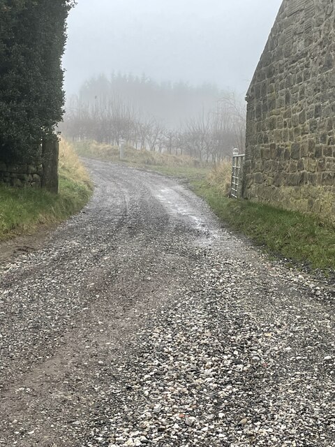
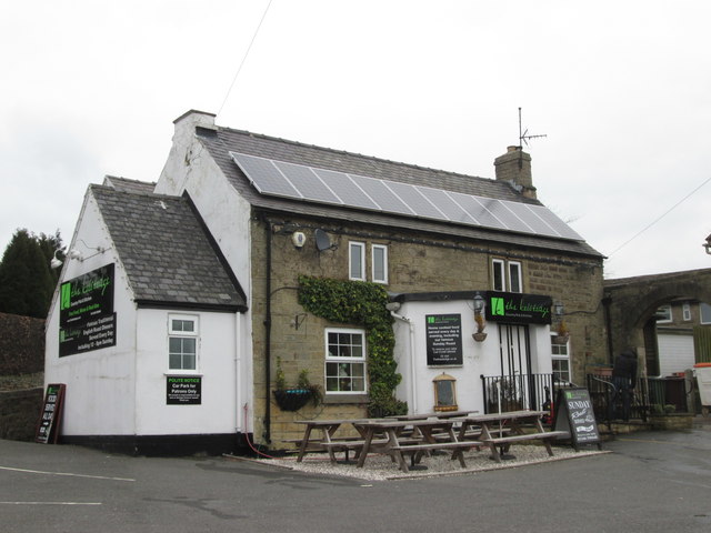
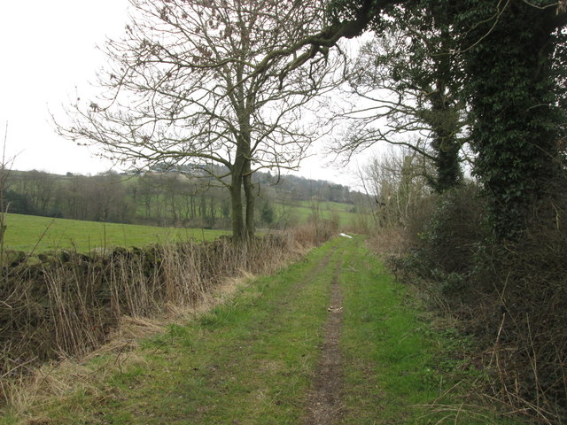
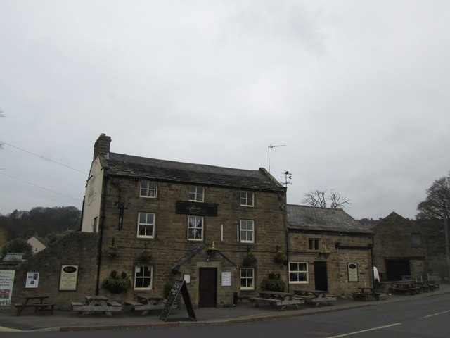
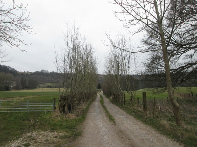
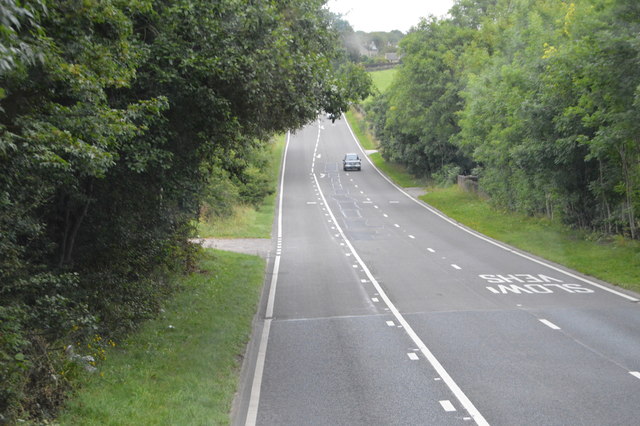
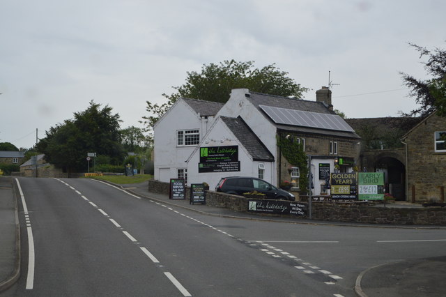
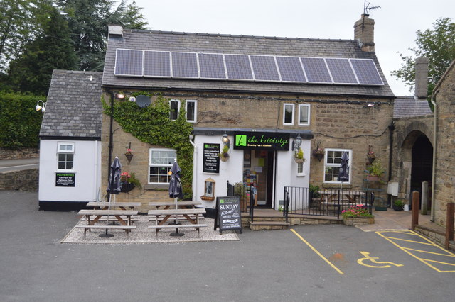
Hardwick is surrounded by rolling hills and lush green fields, making it a popular destination for hiking, cycling, and other outdoor activities. The village also has a few local shops, pubs, and cafes, providing amenities for both residents and visitors.

Overall, Hardwick is a charming village with a strong sense of history and a tranquil atmosphere, making it a unique destination for those looking to explore the English countryside.

If you have any feedback on the listing, please let us know in the comments section below.
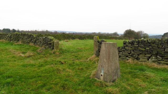
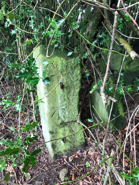
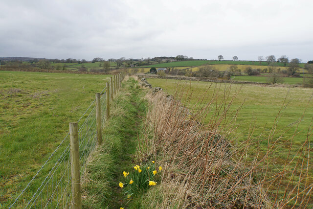
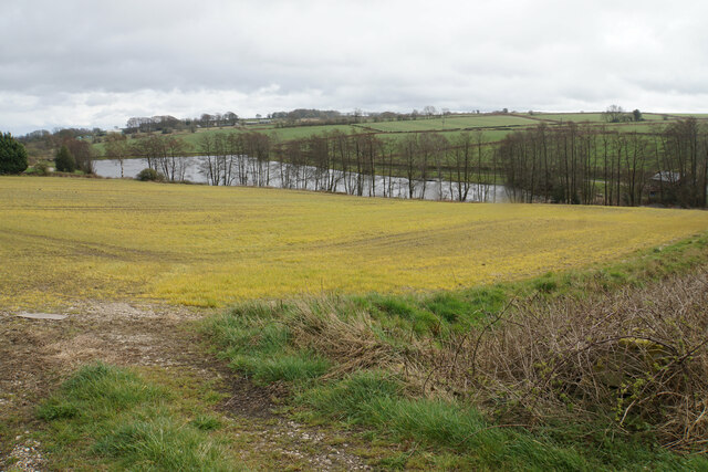
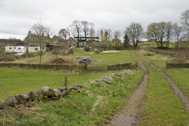
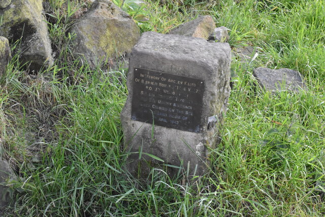
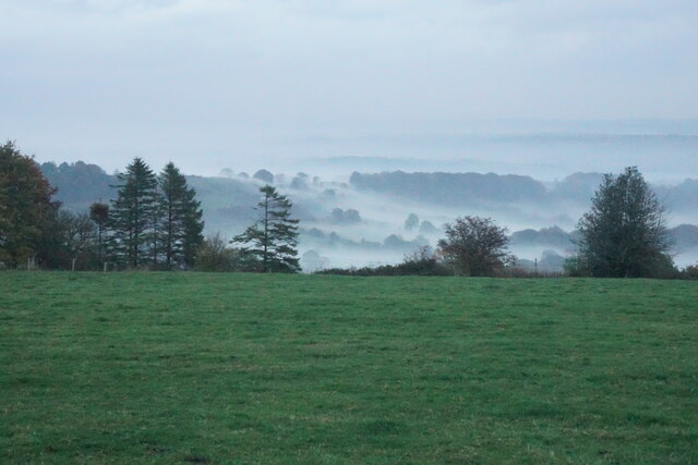
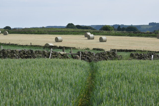
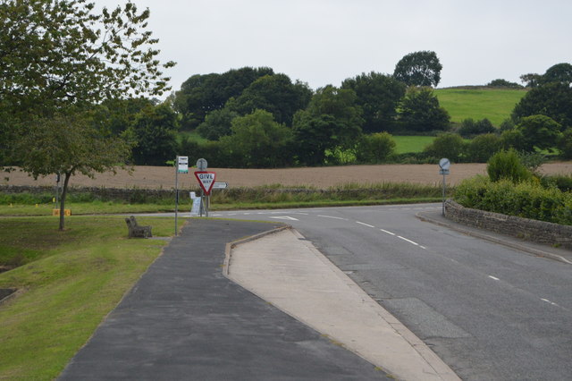
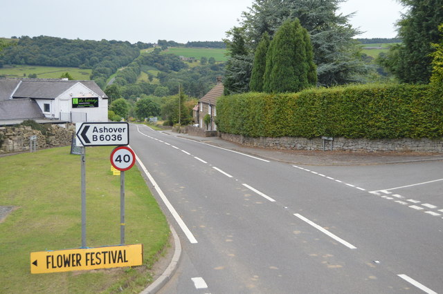
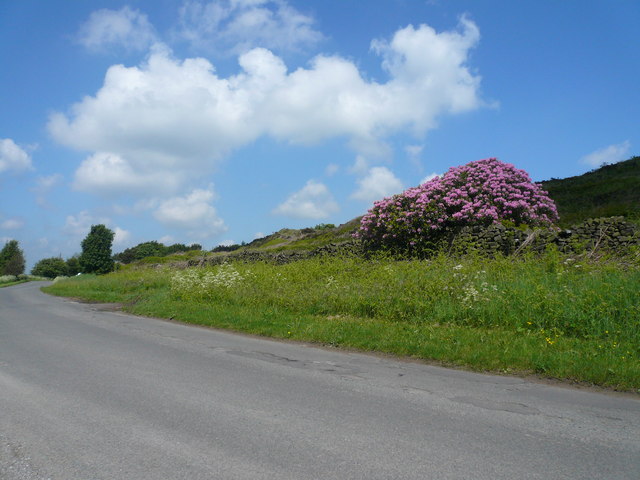
Hardwick Images

Images are sourced within 2km of 53.180417/-1.4924785 or Grid Reference SK3464. Thanks to Geograph Open Source API. All images are credited.

Spitewinter Trig Point, Derbyshire This trig point is in a remarkably good condition.
Spitewinter Trig Point, Derbyshire
This trig point is in a remarkably good condition.
Vernon Lane Bench Mark Found on the path along Vernon Lane
Vernon Lane Bench Mark
Found on the path along Vernon Lane
Footpath to Birkin Lane Heading north from Northedge. Stone Edge is far left.
Footpath to Birkin Lane
Heading north from Northedge. Stone Edge is far left.
Field below Birkinlane Farm Looking down on the Upper Press Reservoir. I am not sure why the grass in this field is an unnatural yellow colour, but it may be the effect of weedkiller.
Field below Birkinlane Farm
Looking down on the Upper Press Reservoir. I am not sure why the grass in this field is an unnatural yellow colour, but it may be the effect of weedkiller.
High Ashes Farm The home of High Ashes Rural Project which primarily presents activities for those with learning disabilities.
High Ashes Farm
The home of High Ashes Rural Project which primarily presents activities for those with learning disabilities.
Wartime air crash memorial near Highashes Lane A Blenheim bomber crashed at this site on 7 April 1943 with the loss of 3 crew.
Wartime air crash memorial near Highashes Lane
A Blenheim bomber crashed at this site on 7 April 1943 with the loss of 3 crew.
Field near Yewfield Farm The eye is drawn to the evening mist on the side of Harper Hill.
Field near Yewfield Farm
The eye is drawn to the evening mist on the side of Harper Hill.
Footpath to Ashover Crossing a high plateau of arable land.
Footpath to Ashover
Crossing a high plateau of arable land.
Up the lane from Hazelhurst Farm The lane goes uphill to Spancar.
Up the lane from Hazelhurst Farm
The lane goes uphill to Spancar.
The Kelstedge public house
Byway towards Marsh Green
The Black Swan at Ashover
Lane towards Grange Farm
A632, Amber Hill The A632 is a non-primary A-road connecting the Peak District with the Dukeries. It runs 22 miles from Matlock to Cuckney, via Chesterfield.
<span class="nowrap"><a title="http://www.sabre-roads.org.uk/wiki/index.php?title=A632" rel="nofollow ugc noopener" href="http://www.sabre-roads.org.uk/wiki/index.php?title=A632">Link</a><img style="margin-left:2px;" alt="External link" title="External link - shift click to open in new window" src="https://s1.geograph.org.uk/img/external.png" width="10" height="10"/></span>
A632, Amber Hill
The A632 is a non-primary A-road connecting the Peak District with the Dukeries. It runs 22 miles from Matlock to Cuckney, via Chesterfield. LinkExternal link
The Kelstredge
The Kelstredge
The Kelstredge
The Kelstredge
B6036 / A632 junction The A632 is a non-primary A-road connecting the Peak District with the Dukeries. It runs 22 miles from Matlock to Cuckney, via Chesterfield.
<span class="nowrap"><a title="http://www.sabre-roads.org.uk/wiki/index.php?title=A632" rel="nofollow ugc noopener" href="http://www.sabre-roads.org.uk/wiki/index.php?title=A632">Link</a><img style="margin-left:2px;" alt="External link" title="External link - shift click to open in new window" src="https://s1.geograph.org.uk/img/external.png" width="10" height="10"/></span>
B6036 / A632 junction
The A632 is a non-primary A-road connecting the Peak District with the Dukeries. It runs 22 miles from Matlock to Cuckney, via Chesterfield. LinkExternal link
A632 at Kelstredge The A632 is a non-primary A-road connecting the Peak District with the Dukeries. It runs 22 miles from Matlock to Cuckney, via Chesterfield.
<span class="nowrap"><a title="http://www.sabre-roads.org.uk/wiki/index.php?title=A632" rel="nofollow ugc noopener" href="http://www.sabre-roads.org.uk/wiki/index.php?title=A632">Link</a><img style="margin-left:2px;" alt="External link" title="External link - shift click to open in new window" src="https://s1.geograph.org.uk/img/external.png" width="10" height="10"/></span>
A632 at Kelstredge
The A632 is a non-primary A-road connecting the Peak District with the Dukeries. It runs 22 miles from Matlock to Cuckney, via Chesterfield. LinkExternal link
Show me another place!

Hardwick is located at Grid Ref: SK3464 (Lat: 53.180417, Lng: -1.4924785)

Administrative County: Derbyshire

District: North East Derbyshire

Police Authority: Derbyshire

What 3 Words

///marsh.vent.rezoning. Near Wingerworth, Derbyshire

Nearby Locations

Hardwick

Related Wikis

Alicehead

Alicehead is a small area of settlement in Derbyshire, England, 9 miles (14 km) south-west of Chesterfield. It consists of four farms and a cottage on...

Rattle, Derbyshire

Rattle is a hamlet in the English county of Derbyshire. It is part of the village of Ashover. This portion of the village was the centre of stocking...

Ashover Butts railway station

Ashover Butts railway station was a railway station serving the village of Ashover in Derbyshire, England. It was the terminus of the 1 ft 11+1⁄2 in (597...

All Saints' Church, Ashover

All Saints’ Church, Ashover is a Grade I listed parish church in the Church of England in Ashover, Derbyshire. == History == The porch of the church dates...

Nearby Amenities

Located within 500m of 53.180417,-1.4924785
Barrier: stile
Lat/Long: 53.1770256/-1.4904031
Barrier: stile
Lat/Long: 53.1771682/-1.4916045
Barrier: stile
Lat/Long: 53.1770705/-1.4934069
Barrier: stile
Lat/Long: 53.1770036/-1.4945485
Barrier: stile
Lat/Long: 53.1776826/-1.4949433
Bus Stop
Hardwick Lane
Bus: yes
Ele: 280.1076660
Naptan AtcoCode: 1000DKMR3276
Naptan NaptanCode: dbsdwdam
Public Transport: platform
Lat/Long: 53.1809293/-1.4903246
Bus Stop
Peglant
Bus: yes
Ele: 246
Naptan AtcoCode: 1000DKMR3279
Naptan NaptanCode: dbsdwdaw
Public Transport: platform
Lat/Long: 53.176678/-1.4902233
Bus Stop
Hardwick Lane
Bus: yes
Naptan AtcoCode: 1000DKMR3275
Naptan NaptanCode: dbsdwdaj
Public Transport: platform
Lat/Long: 53.1811469/-1.4901976
Barrier: stile
Ele: 259.1992188
Stile: squeezer
Lat/Long: 53.178714/-1.4960314
Ele: 259.9201660
Lat/Long: 53.1787558/-1.4960622
Ele: 266.4089355
Lat/Long: 53.1790999/-1.4950426
Ele: 266.8896484
Lat/Long: 53.1790797/-1.4949571
Ele: 271.6962891
Lat/Long: 53.1796246/-1.493899
Ele: 281.3093262
Lat/Long: 53.1803555/-1.4926364
Ele: 281.3093262
Lat/Long: 53.1803818/-1.4926147
Ele: 266.0000000
Lat/Long: 53.179462/-1.4992279
Barrier: stile
Ele: 236.0000000
Steps: 8
Stile: wall
Lat/Long: 53.1779458/-1.4977177
Ele: 238.0000000
Lat/Long: 53.1781916/-1.4976997
Barrier: stile
Ele: 258.0000000
Steps: 1
Stile: stepover
Lat/Long: 53.1793776/-1.4976391
Barrier: stile
Ele: 272.0000000
Steps: 3
Stile: wall
Lat/Long: 53.1797767/-1.4977044
Ele: 232.0000000
Lat/Long: 53.1775884/-1.4978628
Bus Stop
Peglant
Bus: yes
Naptan AtcoCode: 1000DKMR3280
Naptan NaptanCode: dbsdwdga
Public Transport: platform
Lat/Long: 53.1766568/-1.4903543
Passing Place
Lat/Long: 53.177653/-1.4865719
Bus Stop
Birkin Lane
Bus: yes
Naptan AtcoCode: 1000DSMR3273
Naptan NaptanCode: dbsdjmjw
Public Transport: platform
Lat/Long: 53.1837397/-1.4902102
Bus Stop
Birkin Lane
Bus: yes
Naptan AtcoCode: 1000DSMR3274
Naptan NaptanCode: dbsdjmpa
Public Transport: platform
Lat/Long: 53.1838648/-1.4903447
Birkin Lane
Bus: yes
Public Transport: stop_position
Lat/Long: 53.1837482/-1.4902691
Birkin Lane
Bus: yes
Public Transport: stop_position
Lat/Long: 53.183868/-1.4902687
Hardwick Lane
Bus: yes
Public Transport: stop_position
Lat/Long: 53.1811475/-1.4902777
Hardwick Lane
Bus: yes
Public Transport: stop_position
Lat/Long: 53.1809329/-1.4902769
Bus Stop
Hall Moor
Bus: yes
Public Transport: platform
Lat/Long: 53.1784518/-1.4901784
Bus Stop
Hall Moor
Bus: yes
Public Transport: platform
Lat/Long: 53.1784888/-1.4903112
Hall Moor
Bus: yes
Public Transport: stop_position
Lat/Long: 53.1784971/-1.4902576
Hall Moor
Bus: yes
Public Transport: stop_position
Lat/Long: 53.1784558/-1.4902573
Peglant
Bus: yes
Public Transport: stop_position
Lat/Long: 53.1766862/-1.490293
Peglant
Bus: yes
Public Transport: stop_position
Lat/Long: 53.1766588/-1.490295
Direction: S
Generator Method: photovoltaic
Generator Output Electricity: yes
Generator Solar Modules: 4
Generator Source: solar
Generator Type: solar_photovoltaic_panel
Location: roof
Power: generator
Lat/Long: 53.1792353/-1.4898974
Direction: S
Generator Method: photovoltaic
Generator Output Electricity: yes
Generator Solar Modules: 16
Generator Source: solar
Generator Type: solar_photovoltaic_panel
Location: roof
Power: generator
Lat/Long: 53.1791413/-1.4899872
The data included in this document is from www.openstreetmap.org. The data is made available under ODbL.

Have you been to Hardwick?

Leave your review of Hardwick below (or comments, questions and feedback).