Halton
Settlement in Sussex Hastings
England
Halton

Halton is a charming village located in Sussex, a county in the southeastern part of England. Situated in the heart of the Sussex countryside, Halton offers a picturesque setting with its rolling hills, lush green fields, and quaint cottages. The village is part of the district of Chichester and is surrounded by the beautiful South Downs National Park.
Halton is a small village with a tight-knit community, providing a peaceful and idyllic lifestyle for its residents. The village is known for its rich history, dating back to medieval times. Visitors can explore the ancient St. Michael's Church, which features stunning architectural details and intriguing historical artifacts.
Nature enthusiasts will appreciate Halton's proximity to the South Downs, offering numerous opportunities for outdoor activities such as hiking, cycling, and horseback riding. The village is also located near several scenic walking trails, including the South Downs Way, allowing visitors to take in the breathtaking views of the surrounding countryside.
Despite its rural setting, Halton benefits from good transportation links. The village is conveniently located near major road networks, allowing for easy access to nearby towns and cities. The nearby city of Chichester offers a wide range of amenities, including shopping centers, restaurants, and cultural attractions.
In summary, Halton, Sussex is a charming village nestled amidst the stunning Sussex countryside. With its rich history, beautiful natural surroundings, and close-knit community, Halton offers a peaceful and picturesque retreat for both residents and visitors alike.
If you have any feedback on the listing, please let us know in the comments section below.
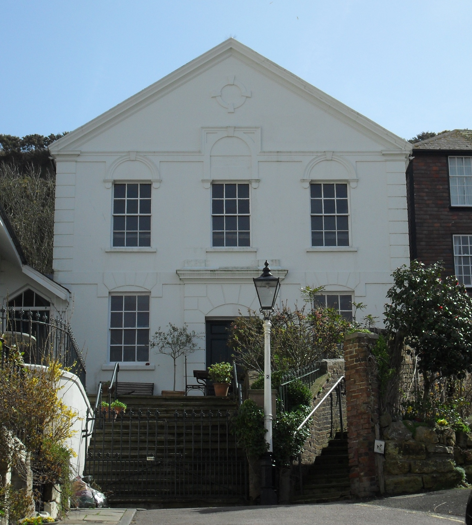
Halton Images
Images are sourced within 2km of 50.866426/0.59558967 or Grid Reference TQ8210. Thanks to Geograph Open Source API. All images are credited.


Halton is located at Grid Ref: TQ8210 (Lat: 50.866426, Lng: 0.59558967)
Administrative County: East Sussex
District: Hastings
Police Authority: Sussex
What 3 Words
///nurse.spider.fire. Near Hastings, East Sussex
Nearby Locations
Related Wikis
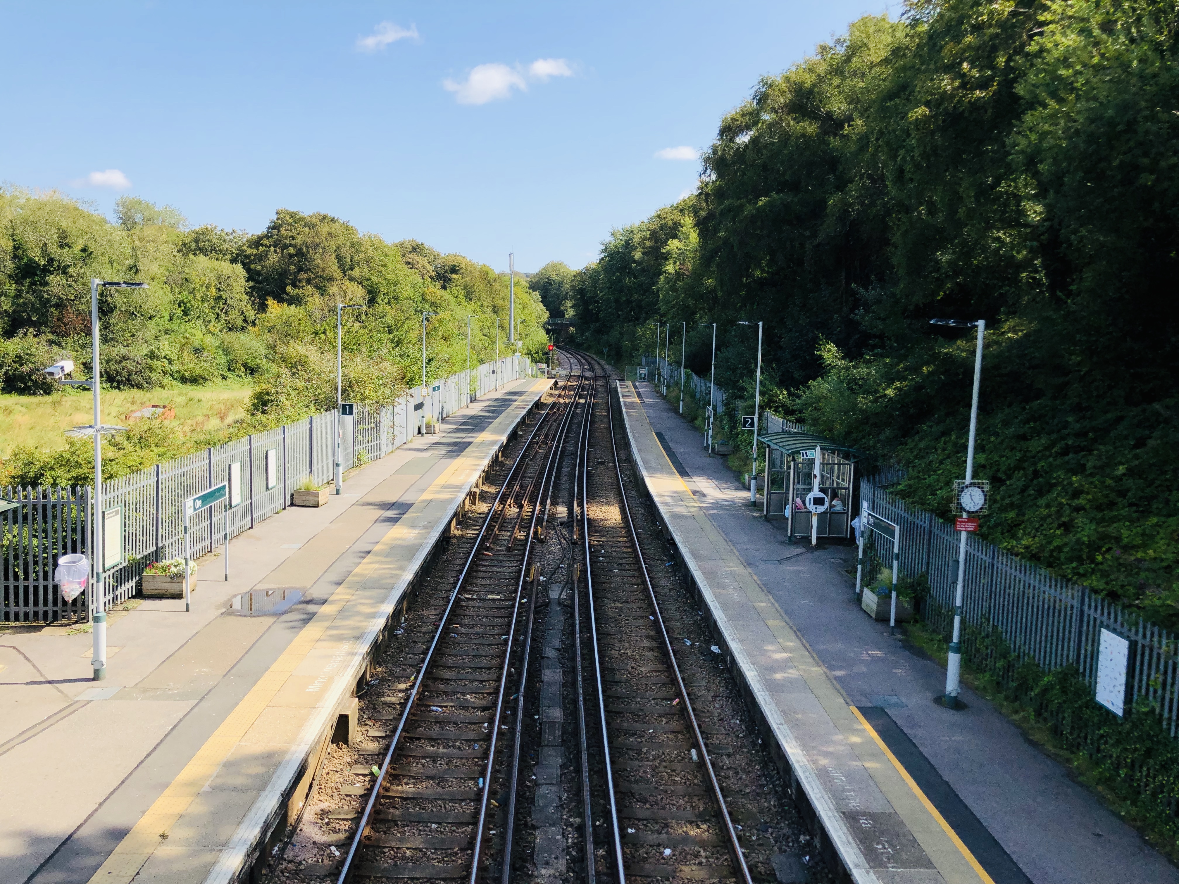
Ore railway station
Ore railway station serves Ore in East Sussex, England. It is on the Marshlink Line, and train services are provided by Southern, with a single peak hour...

Hastings Power Station
Hastings Power Station was a gas turbine power station situated in Hastings in East Sussex, England. It was built on the site of the Broomgrove coal-fired...

Windycroft
Windycroft is a Grade II* listed house in Hastings, East Sussex, England. It was built between 1883 and 1891 for Alex and Constantine Alexander Ionides...
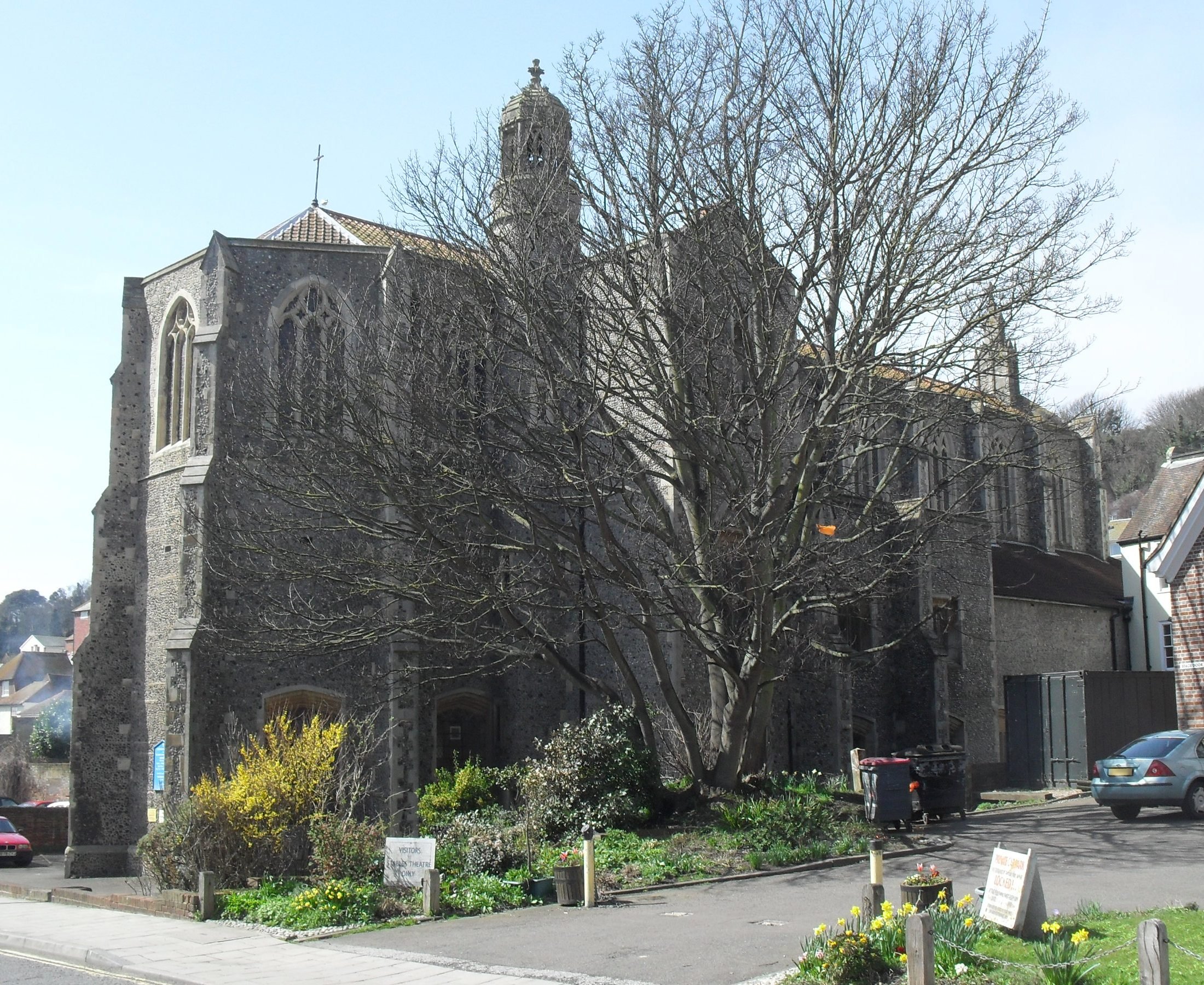
St Mary Star of the Sea Church, Hastings
St Mary Star of the Sea Church is a Roman Catholic Parish church in Hastings, East Sussex, England. It was built from 1882 to 1883 and designed by Basil...
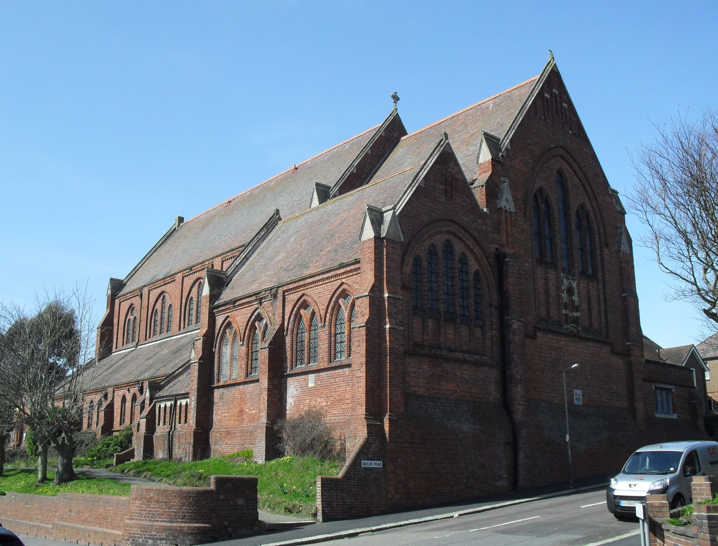
All Souls Church, Hastings
All Souls Church is a former Anglican church that served the Clive Vale suburb of Hastings, a seaside resort town and borough in the English county of...
Belmont, East Sussex
Belmont is a suburb of Hastings in East Sussex, England. The village falls within the Borough of Hastings.
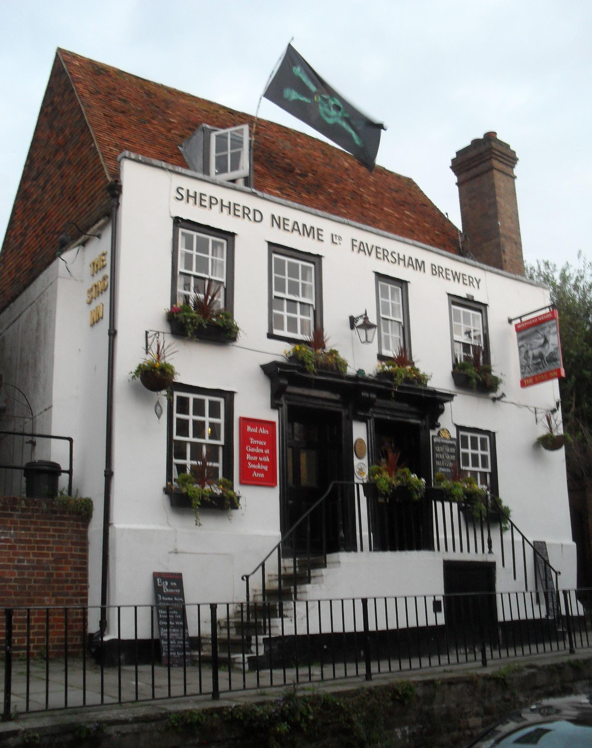
Stag Inn, Hastings
The Stag Inn is a public house in the Old Town area of Hastings, a port and seaside resort in East Sussex, England. One of many ancient buildings on All...
Ebenezer Particular Baptist Chapel, Hastings
Ebenezer Particular Baptist Chapel is a former Strict Baptist place of worship in Hastings, East Sussex, England. Founded in 1817 by members of the congregation...
Nearby Amenities
Located within 500m of 50.866426,0.59558967Have you been to Halton?
Leave your review of Halton below (or comments, questions and feedback).