Greylees

Settlement in Lincolnshire North Kesteven

England

Greylees

Grantham Road towards Sleaford
Grantham Road towards Sleaford Credit: Ian S

Greylees is a small village located in the county of Lincolnshire, England. Situated approximately four miles south of the market town of Sleaford, it falls under the jurisdiction of North Kesteven District Council. The village is nestled amidst the serene countryside, offering picturesque views of the surrounding farmland and rolling hills.

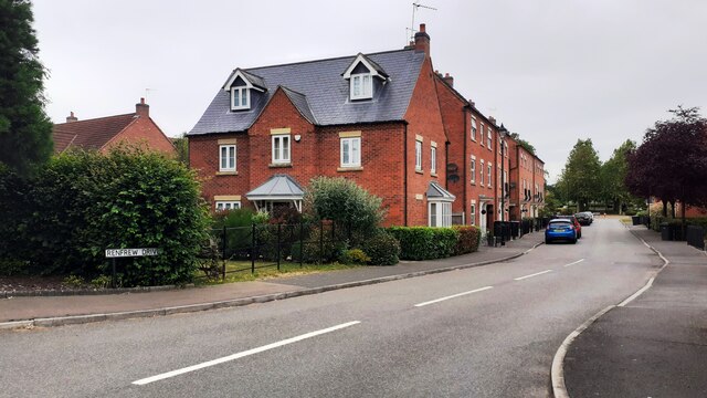
Although Greylees is relatively small, it has experienced significant growth in recent years due to new housing developments. This expansion has attracted a mix of residents, including young families and professionals seeking a peaceful rural lifestyle within commuting distance of larger towns and cities. The village's population is estimated to be around 2,500.

Greylees offers a range of amenities to cater to the needs of its residents. It boasts a primary school, providing education to local children, and a community center that hosts various events and activities. Additionally, there are several play areas and green spaces, providing ample opportunities for outdoor recreation.

For everyday shopping needs, residents can access nearby supermarkets and retail parks in Sleaford. The village also benefits from good transport links, with easy access to the A15 road and a train station located in Sleaford, connecting Greylees to major cities like Lincoln and Peterborough.

Overall, Greylees is a charming and growing village that offers a peaceful countryside setting, a close-knit community, and convenient access to nearby amenities and transportation networks.

If you have any feedback on the listing, please let us know in the comments section below.
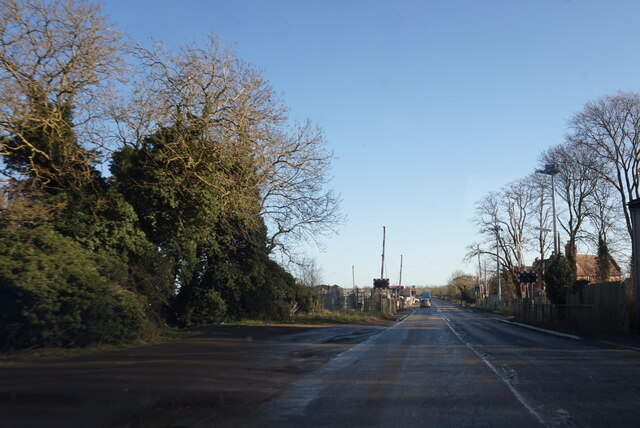
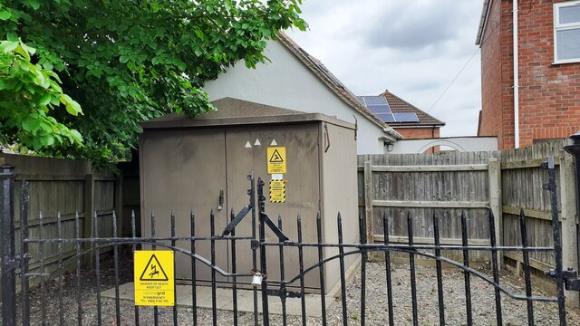
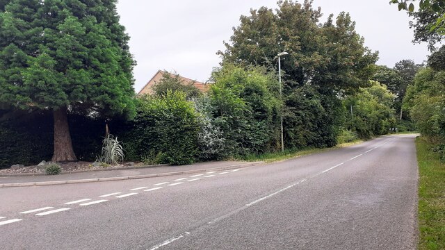
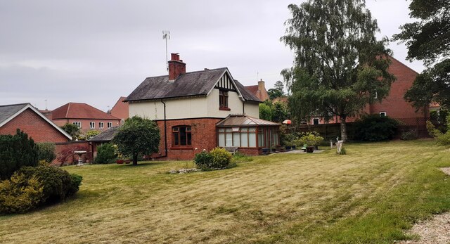
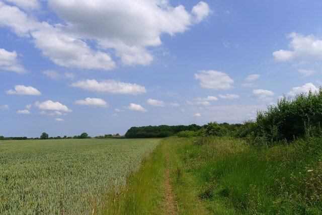
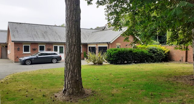
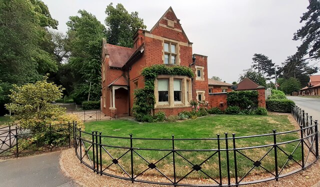
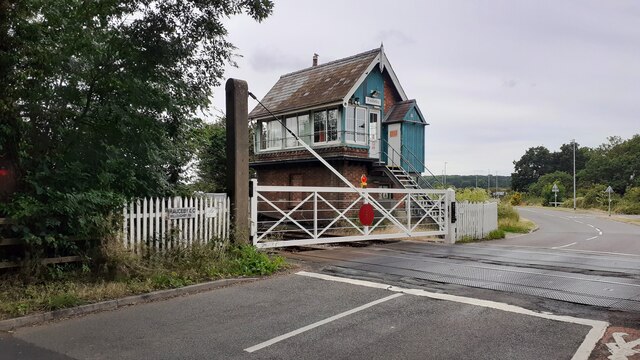
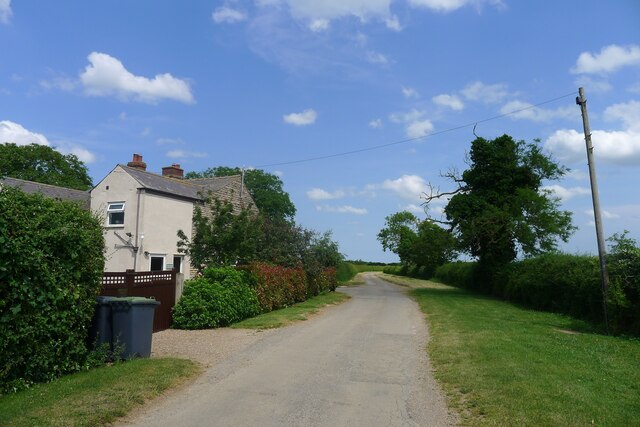
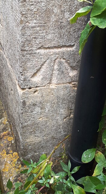
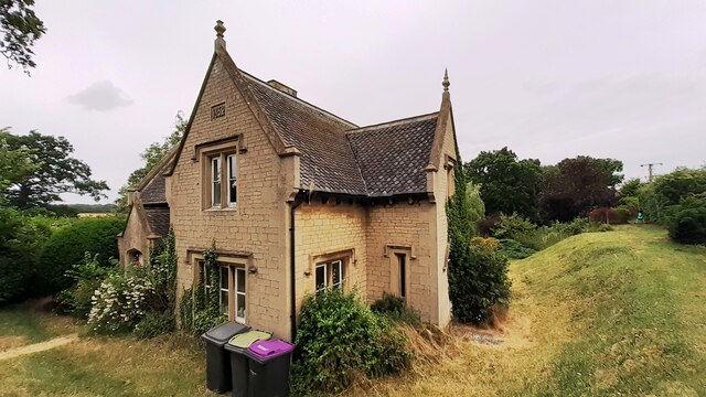
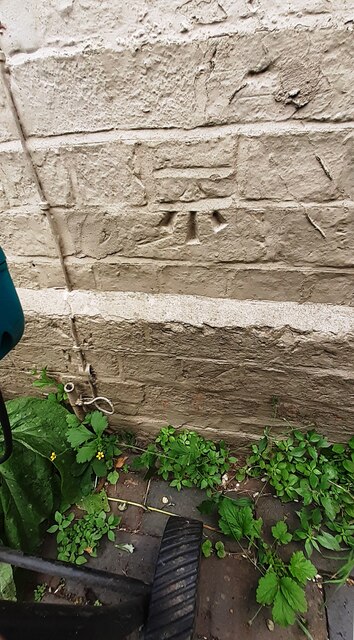
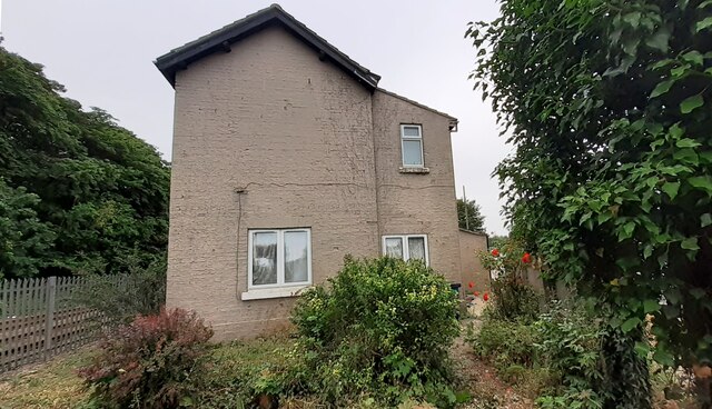
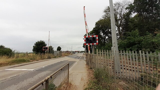
Greylees Images

Images are sourced within 2km of 52.981894/-0.45587507 or Grid Reference TF0343. Thanks to Geograph Open Source API. All images are credited.

Grantham Road towards Sleaford
Electricity substation on north side of Grantham Lane opposite Northfield Road Ordnance Survey documents indicate that a benchmark was levelled at 29.780m above Newlyn Datum in 1955 on a telephone exchange, the rendered building behind the substation
Electricity substation on north side of Grantham Lane opposite Northfield Road
Ordnance Survey documents indicate that a benchmark was levelled at 29.780m above Newlyn Datum in 1955 on a telephone exchange, the rendered building behind the substation
Looking northwards along Renfrew Drive from Willoughby Road junction
Looking east along Willoughby Road at Renfrew Drive junction Ordnance Survey documents indicate that a benchmark levelled at 25.759m above Newlyn Datum was verified in 1969 on a gatepost  on the left hand side of the road about 10m from the junction
Looking east along Willoughby Road at Renfrew Drive junction
Ordnance Survey documents indicate that a benchmark levelled at 25.759m above Newlyn Datum was verified in 1969 on a gatepost on the left hand side of the road about 10m from the junction
Detached house with conservatory on north side of Willoughby Road Ordnance Survey documents indicate that a benchmark levelled at 25.330m above Newlyn Datum was verified in 1969 on a farm building (Home Farm) previously on this site, but now demolished
Detached house with conservatory on north side of Willoughby Road
Ordnance Survey documents indicate that a benchmark levelled at 25.330m above Newlyn Datum was verified in 1969 on a farm building (Home Farm) previously on this site, but now demolished
Byway towards Willoughby Walks
Bungalow on east side of Willoughby Road
Benchmark on West Lodge on east side of Willoughby Road Ordnance Survey cut mark benchmark levelled at 21.930m above Newlyn Datum verified 1969
Benchmark on West Lodge on east side of Willoughby Road
Ordnance Survey cut mark benchmark levelled at 21.930m above Newlyn Datum verified 1969
West Lodge at Kinross Road / Willoughby Road junction There is an Ordnance Survey benchmark <a href="https://www.geograph.org.uk/photo/7530668">TF0343 : Benchmark on West Lodge on east side of Willoughby Road</a>  on the SW corner of the lodge
West Lodge at Kinross Road / Willoughby Road junction
There is an Ordnance Survey benchmark TF0343 : Benchmark on West Lodge on east side of Willoughby Road on the SW corner of the lodge
Rauceby Signal box and Willoughby Road level crossing
Walks Road approaching Willoughby Walks Farm
Walks Road passing Grange Farm Cottage
Benchmark on house #53 Ordnance Survey cut mark benchmark levelled at 20.831m above Newlyn Datum in 1955 and verified in 1969
Benchmark on house #53
Ordnance Survey cut mark benchmark levelled at 20.831m above Newlyn Datum in 1955 and verified in 1969
House Nos. 52 and 53 at junction of Gantham Road and Rauceby Drove There is an Ordnance Survey benchmark <a href="https://www.geograph.org.uk/photo/7530962">TF0344 : Benchmark on house #53</a> on the near corner of the building (which has an 1852 date stone)  between the right-hand wheelie bin and the black downpipe.
House Nos. 52 and 53 at junction of Gantham Road and Rauceby Drove
There is an Ordnance Survey benchmark TF0344 : Benchmark on house #53 on the near corner of the building (which has an 1852 date stone) between the right-hand wheelie bin and the black downpipe.
Benchmark on Greylees Cottage on south side of Grantham Road Ordnance Survey cut mark benchmark levelled at 20.806m above Newlyn Datum in 1955
Benchmark on Greylees Cottage on south side of Grantham Road
Ordnance Survey cut mark benchmark levelled at 20.806m above Newlyn Datum in 1955
Greylees Cottage, former level crossing keeper's house There is an Ordnance Survey benchmark <a href="https://www.geograph.org.uk/photo/7531009">TF0444 : Benchmark on Greylees Cottage on south side of Grantham Road</a> on the right hand corner of the house
Greylees Cottage, former level crossing keeper's house
There is an Ordnance Survey benchmark TF0444 : Benchmark on Greylees Cottage on south side of Grantham Road on the right hand corner of the house
Quarrington Level Crossing for Grantham Road (A153) across railway
Benchmark on small ivy clad building on south side of Grantham Road Ordnance Survey cut mark benchmark levelled at 20.652m above Newlyn Datum in 1955 and verified in 1970
Benchmark on small ivy clad building on south side of Grantham Road
Ordnance Survey cut mark benchmark levelled at 20.652m above Newlyn Datum in 1955 and verified in 1970
Show me another place!

Greylees is located at Grid Ref: TF0343 (Lat: 52.981894, Lng: -0.45587507)

Division: Parts of Kesteven

Administrative County: Lincolnshire

District: North Kesteven

Police Authority: Lincolnshire

What 3 Words

///overdone.nitrogen.fluid. Near Sleaford, Lincolnshire

Related Wikis

Rauceby railway station

Rauceby railway station is a station near the town of Sleaford, Lincolnshire, England, lying close to the western border of the Parish of Old Sleaford...

Rauceby Hospital

Rauceby Hospital, originally called Kesteven County Asylum, is a now-defunct mental institution in the parish of Quarrington, Lincolnshire, England. Originally...

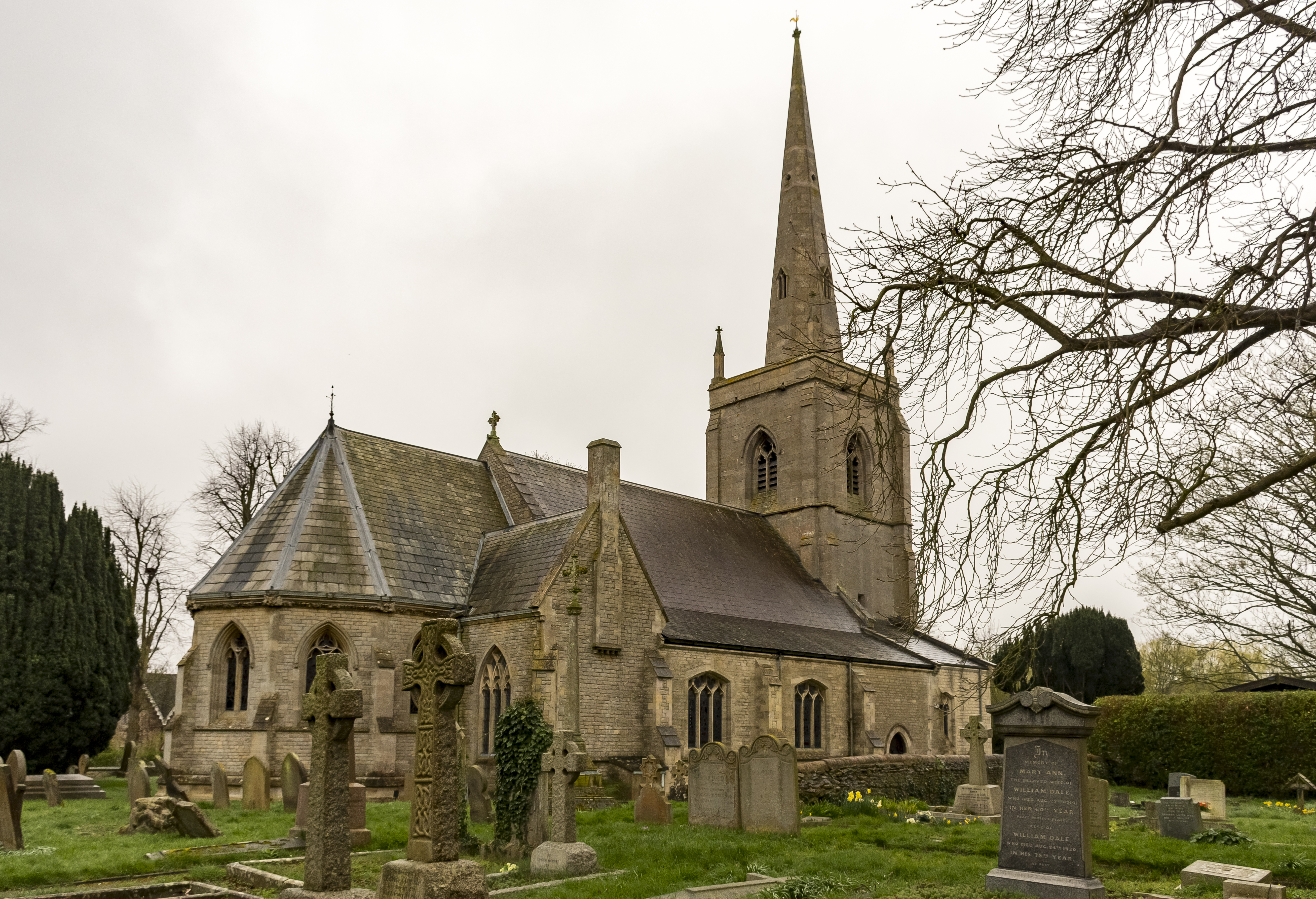
St Botolph's Church, Quarrington

St Botolph's Church is an Anglican church in Quarrington in Lincolnshire, England. The area has been settled since at least the Anglo-Saxon period, and...

Quarrington, Lincolnshire

Quarrington is a village and former civil parish, now part of the civil parish of Sleaford, in the North Kesteven district of Lincolnshire, England. The...

South Rauceby

South Rauceby is a village and civil parish in the North Kesteven district of Lincolnshire, England. It is situated 2.5 miles (4.0 km) west from Sleaford...

Silk Willoughby

Silk Willoughby is a village and civil parish in the North Kesteven district of Lincolnshire, England. The population of the civil parish at the 2011 census...

South Rauceby Hall

South Rauceby Hall, South Rauceby, Lincolnshire, England is a country house dating from the mid-19th century. It was designed by William Burn in 1842 for...

Wilsford, Lincolnshire

Wilsford is a village and civil parish in the North Kesteven district of Lincolnshire, England. The population of the civil parish was 400 at the 2011...

Related Videos

"Ayla (Original DJ Taucher Mix)" Fan Video

Fan video of "Ayla (Original DJ Taucher Mix)" by Ayla. Created using Video Star: http://VideoStarApp.com/FREE.

The News For Parrots cover of “ She got arrested “ by  The interrupters

The News For Parrots cover of “ She got arrested “ by The interrupters, At the horseshoes Silk Willoughby Sleaford ...

The News For Parrots, cover of “Take Back The Power” (The interrupters)

The News For Parots, cover of “what's your plans for tomorrow” (The interrupters) at The horseshoes, Silk Willoughby, Sleaford, ...

The News For Parrots, cover of “She’s Kerosene” by The Interrupters

The News For Parrots, cover of “She's Kerosene” by The Interrupters At The Horseshoes inn Silk Willoughby, Sleaford, ...

Nearby Amenities

Located within 500m of 52.981894,-0.45587507
Rauceby
Naptan AtcoCode: 9100RAUCEBY
Network: National Rail
Network Website: https://www.nationalrail.co.uk/stations/rau/
Network Wikidata: Q26334
Railway: station
Ref Crs: RAU
Source: Bing
Wikidata: Q2146289
Wikipedia: en:Rauceby railway station
Lat/Long: 52.9852782/-0.4559695
Rail Station
Naptan AtcoCode: 270002700874
Naptan Bearing: SE
Naptan BusStopType: CUS
Naptan CommonName: Rail Station
Naptan Indicator: adj
Naptan Landmark: Rail Station
Naptan Street: Willoughby Road
Naptan Verified: no
Source: naptan_import
Lat/Long: 52.9851995/-0.4567379
Rail Station
Naptan AtcoCode: 270002700875
Naptan Bearing: NW
Naptan BusStopType: CUS
Naptan CommonName: Rail Station
Naptan Indicator: opp
Naptan Landmark: Rail Station
Naptan Street: Willoughby Road
Naptan Verified: no
Source: naptan_import
Lat/Long: 52.9851567/-0.4569033
Greylees
Place: village
Lat/Long: 52.9836487/-0.451771
Railway: level_crossing
Source: Bing
Lat/Long: 52.9850146/-0.4565822
Crossing
Crossing: unmarked
Crossing Island: yes
Kerb: lowered
Tactile Paving: yes
Lat/Long: 52.9856638/-0.4584747
Crossing
Crossing: unmarked
Crossing Island: yes
Kerb: lowered
Tactile Paving: yes
Lat/Long: 52.9857405/-0.4586173
Railway: level_crossing
Source: Bing
Lat/Long: 52.9849882/-0.4565441
old Rauceby Hospital chapel
Lat/Long: 52.9840442/-0.4519126
Post Box
Collection Times: Mo-Fr 16:30; Sa 07:45
Operator: Royal Mail
Post Box Type: lamp
Ref: NG34 20
Royal Cypher: EIIR
Royal Cypher Wikidata: Q33102113
Lat/Long: 52.9852199/-0.456872
Former Rauceby Hospital
Lat/Long: 52.9831875/-0.4517997
Addr Housenumber: 43
Lat/Long: 52.9833413/-0.4545724
Addr Housenumber: 51
Lat/Long: 52.9817878/-0.4506102
Addr Housenumber: 1-11
Addr Street: Montrose Grove
Lat/Long: 52.9815355/-0.4493386
Addr Housenumber: 30
Addr Street: Lothian Way
Lat/Long: 52.9807133/-0.4512228
Traffic Calming: island
Lat/Long: 52.9855861/-0.4586423
The data included in this document is from www.openstreetmap.org. The data is made available under ODbL.

Have you been to Greylees?

Leave your review of Greylees below (or comments, questions and feedback).