Broadwater Spinney

Wood, Forest in Lincolnshire North Kesteven

England

Broadwater Spinney

Grantham Road towards Sleaford
Grantham Road towards Sleaford Credit: Ian S

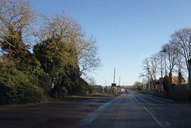
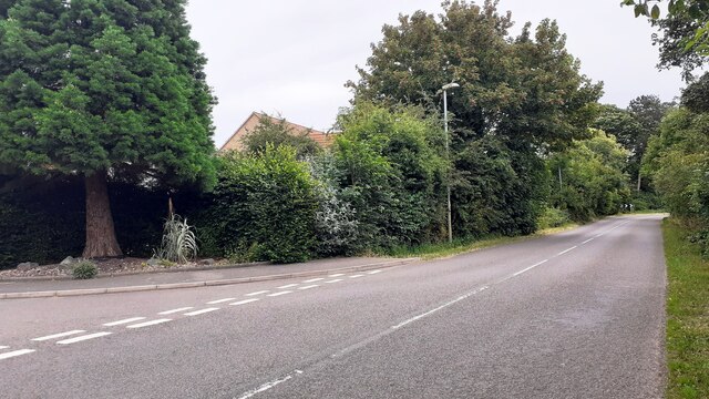
Broadwater Spinney is a picturesque wood located in the county of Lincolnshire, England. Situated near the village of Woodhall Spa, the spinney covers an area of approximately 10 acres and is a popular destination for nature enthusiasts and walkers alike.

The spinney is comprised of a mix of deciduous and coniferous trees, creating an enchanting and diverse landscape. Visitors can expect to encounter majestic oak, beech, and birch trees, along with towering pines and spruces. The dense foliage provides a haven for a wide variety of wildlife, with numerous bird species such as woodpeckers, owls, and songbirds making their home in the wood.

Traversing through Broadwater Spinney, visitors will come across well-maintained footpaths that wind their way through the trees. These paths offer a tranquil and peaceful escape, allowing visitors to immerse themselves in the beauty of nature. Along the way, there are several benches strategically placed, providing ample opportunities to rest and take in the surroundings.

The wood is particularly stunning during the autumn months when the foliage transforms into a kaleidoscope of vibrant colors. The golden hues of the leaves, combined with the crisp air, create a truly magical atmosphere.

Broadwater Spinney is open to the public year-round, with no admission fee. It is easily accessible by foot or by car, with nearby parking available. The wood is well-maintained by local authorities, ensuring a pleasant and safe experience for visitors. Whether one seeks solitude, wildlife spotting, or simply a peaceful stroll, Broadwater Spinney is a haven of natural beauty in the heart of Lincolnshire.

If you have any feedback on the listing, please let us know in the comments section below.

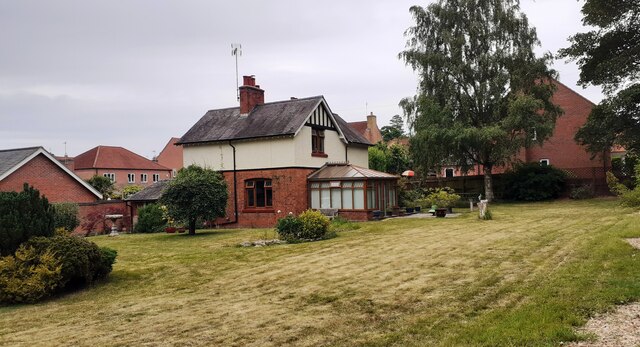
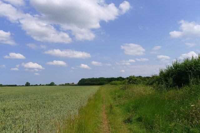
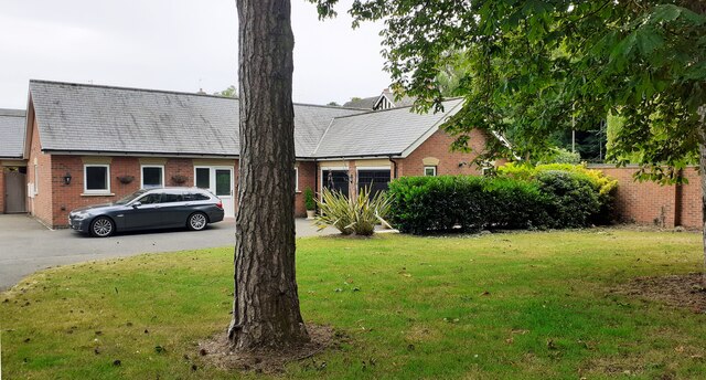
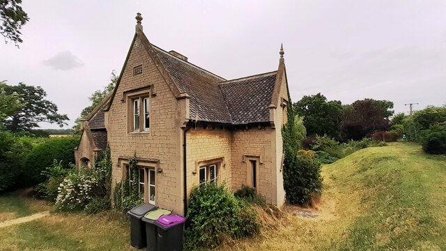
Broadwater Spinney Images

Images are sourced within 2km of 52.980498/-0.45567163 or Grid Reference TF0343. Thanks to Geograph Open Source API. All images are credited.

Grantham Road towards Sleaford
Electricity substation on north side of Grantham Lane opposite Northfield Road Ordnance Survey documents indicate that a benchmark was levelled at 29.780m above Newlyn Datum in 1955 on a telephone exchange, the rendered building behind the substation
Electricity substation on north side of Grantham Lane opposite Northfield Road
Ordnance Survey documents indicate that a benchmark was levelled at 29.780m above Newlyn Datum in 1955 on a telephone exchange, the rendered building behind the substation
Looking northwards along Renfrew Drive from Willoughby Road junction
Looking east along Willoughby Road at Renfrew Drive junction Ordnance Survey documents indicate that a benchmark levelled at 25.759m above Newlyn Datum was verified in 1969 on a gatepost  on the left hand side of the road about 10m from the junction
Looking east along Willoughby Road at Renfrew Drive junction
Ordnance Survey documents indicate that a benchmark levelled at 25.759m above Newlyn Datum was verified in 1969 on a gatepost on the left hand side of the road about 10m from the junction
Bridleway through Kelby Plantation Further on the track is classified as a byway
Bridleway through Kelby Plantation
Further on the track is classified as a byway
Detached house with conservatory on north side of Willoughby Road Ordnance Survey documents indicate that a benchmark levelled at 25.330m above Newlyn Datum was verified in 1969 on a farm building (Home Farm) previously on this site, but now demolished
Detached house with conservatory on north side of Willoughby Road
Ordnance Survey documents indicate that a benchmark levelled at 25.330m above Newlyn Datum was verified in 1969 on a farm building (Home Farm) previously on this site, but now demolished
Byway towards Willoughby Walks
Bungalow on east side of Willoughby Road
Benchmark on West Lodge on east side of Willoughby Road Ordnance Survey cut mark benchmark levelled at 21.930m above Newlyn Datum verified 1969
Benchmark on West Lodge on east side of Willoughby Road
Ordnance Survey cut mark benchmark levelled at 21.930m above Newlyn Datum verified 1969
West Lodge at Kinross Road / Willoughby Road junction There is an Ordnance Survey benchmark <a href="https://www.geograph.org.uk/photo/7530668">TF0343 : Benchmark on West Lodge on east side of Willoughby Road</a>  on the SW corner of the lodge
West Lodge at Kinross Road / Willoughby Road junction
There is an Ordnance Survey benchmark TF0343 : Benchmark on West Lodge on east side of Willoughby Road on the SW corner of the lodge
Rauceby Signal box and Willoughby Road level crossing
Walks Road approaching Willoughby Walks Farm
Walks Road passing Grange Farm Cottage
Benchmark on house #53 Ordnance Survey cut mark benchmark levelled at 20.831m above Newlyn Datum in 1955 and verified in 1969
Benchmark on house #53
Ordnance Survey cut mark benchmark levelled at 20.831m above Newlyn Datum in 1955 and verified in 1969
House Nos. 52 and 53 at junction of Gantham Road and Rauceby Drove There is an Ordnance Survey benchmark <a href="https://www.geograph.org.uk/photo/7530962">TF0344 : Benchmark on house #53</a> on the near corner of the building (which has an 1852 date stone)  between the right-hand wheelie bin and the black downpipe.
House Nos. 52 and 53 at junction of Gantham Road and Rauceby Drove
There is an Ordnance Survey benchmark TF0344 : Benchmark on house #53 on the near corner of the building (which has an 1852 date stone) between the right-hand wheelie bin and the black downpipe.
Benchmark on Greylees Cottage on south side of Grantham Road Ordnance Survey cut mark benchmark levelled at 20.806m above Newlyn Datum in 1955
Benchmark on Greylees Cottage on south side of Grantham Road
Ordnance Survey cut mark benchmark levelled at 20.806m above Newlyn Datum in 1955
Greylees Cottage, former level crossing keeper's house There is an Ordnance Survey benchmark <a href="https://www.geograph.org.uk/photo/7531009">TF0444 : Benchmark on Greylees Cottage on south side of Grantham Road</a> on the right hand corner of the house
Greylees Cottage, former level crossing keeper's house
There is an Ordnance Survey benchmark TF0444 : Benchmark on Greylees Cottage on south side of Grantham Road on the right hand corner of the house
Quarrington Level Crossing for Grantham Road (A153) across railway
Show me another place!

Broadwater Spinney is located at Grid Ref: TF0343 (Lat: 52.980498, Lng: -0.45567163)

Administrative County: Lincolnshire

District: North Kesteven

Police Authority: Lincolnshire

What 3 Words

///cowboy.perusing.reported. Near Sleaford, Lincolnshire

Related Wikis

Rauceby Hospital

Rauceby Hospital, originally called Kesteven County Asylum, is a now-defunct mental institution in the parish of Quarrington, Lincolnshire, England. Originally...

Rauceby railway station

Rauceby railway station is a station near the town of Sleaford, Lincolnshire, England, lying close to the western border of the Parish of Old Sleaford...

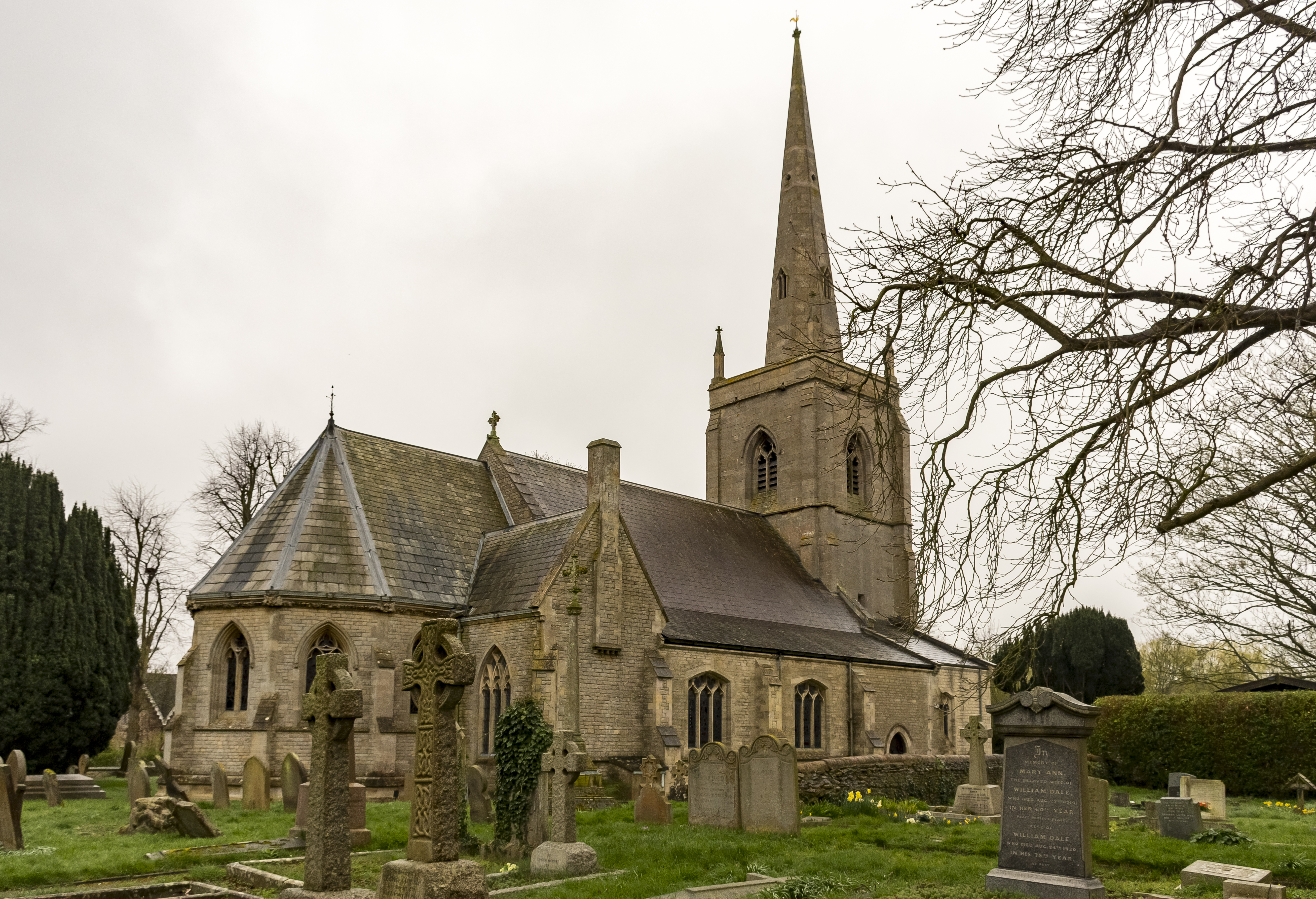
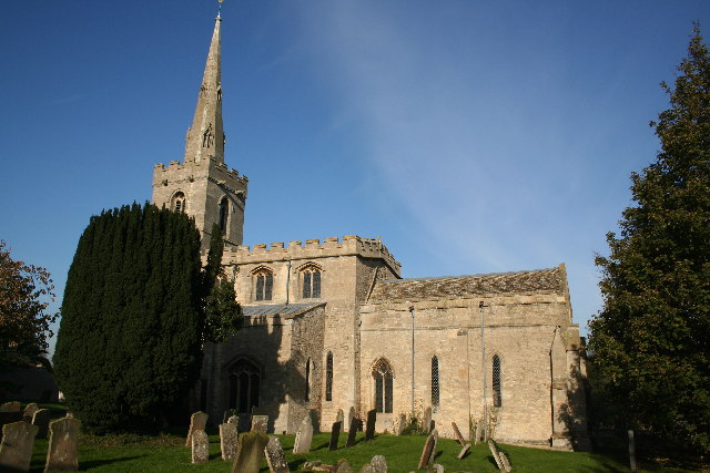
St Botolph's Church, Quarrington

St Botolph's Church is an Anglican church in Quarrington in Lincolnshire, England. The area has been settled since at least the Anglo-Saxon period, and...

Quarrington, Lincolnshire

Quarrington is a village and former civil parish, now part of the civil parish of Sleaford, in the North Kesteven district of Lincolnshire, England. The...

Silk Willoughby

Silk Willoughby is a village and civil parish in the North Kesteven district of Lincolnshire, England. The population of the civil parish at the 2011 census...

South Rauceby

South Rauceby is a village and civil parish in the North Kesteven district of Lincolnshire, England. It is situated 2.5 miles (4.0 km) west from Sleaford...

South Rauceby Hall

South Rauceby Hall, South Rauceby, Lincolnshire, England is a country house dating from the mid-19th century. It was designed by William Burn in 1842 for...

Wilsford, Lincolnshire

Wilsford is a village and civil parish in the North Kesteven district of Lincolnshire, England. The population of the civil parish was 400 at the 2011...

Related Videos

"Ayla (Original DJ Taucher Mix)" Fan Video

Fan video of "Ayla (Original DJ Taucher Mix)" by Ayla. Created using Video Star: http://VideoStarApp.com/FREE.

The News For Parrots cover of “ She got arrested “ by  The interrupters

The News For Parrots cover of “ She got arrested “ by The interrupters, At the horseshoes Silk Willoughby Sleaford ...

The News For Parrots, cover of “Take Back The Power” (The interrupters)

The News For Parots, cover of “what's your plans for tomorrow” (The interrupters) at The horseshoes, Silk Willoughby, Sleaford, ...

The News For Parrots, cover of “She’s Kerosene” by The Interrupters

The News For Parrots, cover of “She's Kerosene” by The Interrupters At The Horseshoes inn Silk Willoughby, Sleaford, ...

Nearby Amenities

Located within 500m of 52.980498,-0.45567163
Greylees
Place: village
Lat/Long: 52.9836487/-0.451771
old Rauceby Hospital chapel
Lat/Long: 52.9840442/-0.4519126
Former Rauceby Hospital
Lat/Long: 52.9831875/-0.4517997
Addr Housenumber: 43
Lat/Long: 52.9833413/-0.4545724
Addr Housenumber: 51
Lat/Long: 52.9817878/-0.4506102
Addr Housenumber: 1-11
Addr Street: Montrose Grove
Lat/Long: 52.9815355/-0.4493386
Addr Housenumber: 30
Addr Street: Lothian Way
Lat/Long: 52.9807133/-0.4512228
The data included in this document is from www.openstreetmap.org. The data is made available under ODbL.

Have you been to Broadwater Spinney?

Leave your review of Broadwater Spinney below (or comments, questions and feedback).