Grey Legs

Settlement in Yorkshire

England

Grey Legs

Ings Bridge, Beverley Road, Hull - 1979 The bus is on an enthusiast tour commemorating the end of operation of the AEC Renown type of bus by the East Yorkshire company.

This is one of a series of views featuring buses in the 60s, 70s, and 80s. <a title="https://www.geograph.org.uk/search.php?i=137652761" href="https://www.geograph.org.uk/search.php?i=137652761">Link</a> 

The bridge as seen here has completely disappeared with the development of the road as a dual carriageway and with the 'angle' of the bend eased into a longer gradual curve. The bridge also marks the location of the boundary of the City of Kingston upon Hull.
Ings Bridge, Beverley Road, Hull - 1979 Credit: Alan Murray-Rust

Grey Legs is a small village located in the county of Yorkshire, England. Nestled in the heart of the Yorkshire Dales, this picturesque village is renowned for its stunning natural beauty and tranquil atmosphere. With a population of approximately 500 residents, Grey Legs offers a close-knit community feel.

The village is characterized by its charming stone-built houses, which reflect the traditional architecture of the region. The surrounding landscape is dominated by rolling hills, verdant meadows, and meandering streams, creating a breathtaking backdrop for outdoor enthusiasts and nature lovers.

Grey Legs is well-known for its walking and hiking trails, making it a popular destination for those seeking to explore the outdoors. The village is surrounded by numerous footpaths and bridleways, allowing visitors to discover the stunning countryside and enjoy panoramic views of the Dales.

Despite its small size, Grey Legs boasts a few amenities for its residents and visitors. There is a quaint village pub, providing a cozy spot to enjoy a drink and sample local cuisine. Additionally, a small village shop caters to the daily needs of the community.

The village also hosts various events throughout the year, including a summer fete and a Christmas market, which bring the community together and attract visitors from neighboring towns and villages.

In summary, Grey Legs offers a peaceful and idyllic retreat for those seeking to immerse themselves in the natural beauty of the Yorkshire Dales. Its charming architecture, stunning landscapes, and warm community spirit make it a hidden gem within the region.

If you have any feedback on the listing, please let us know in the comments section below.
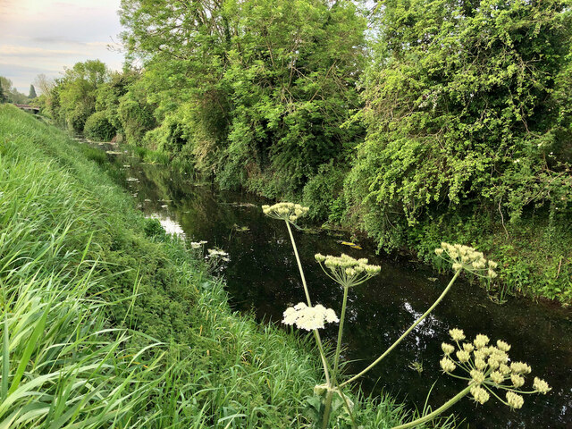
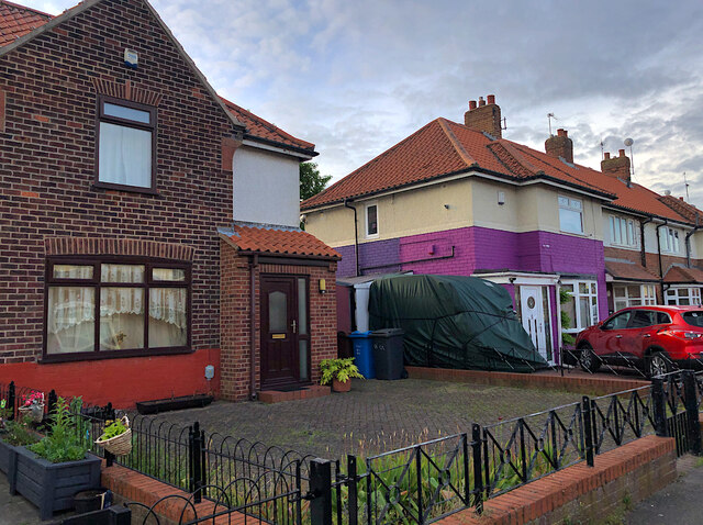
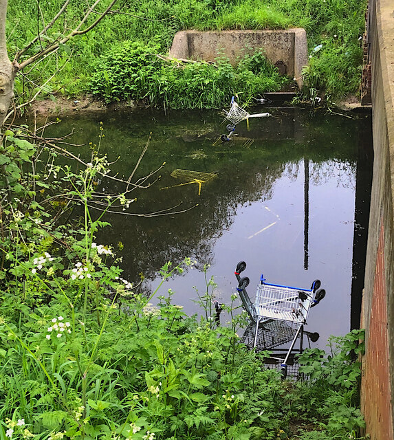
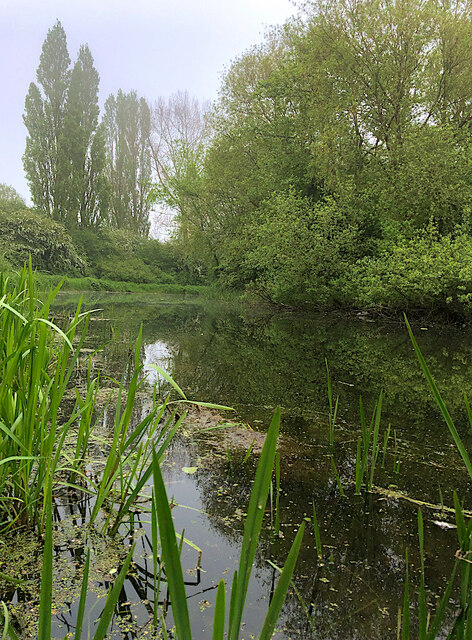
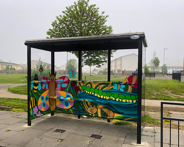
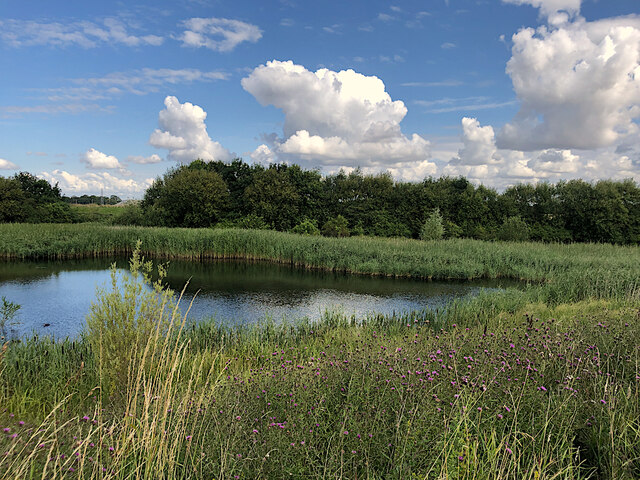
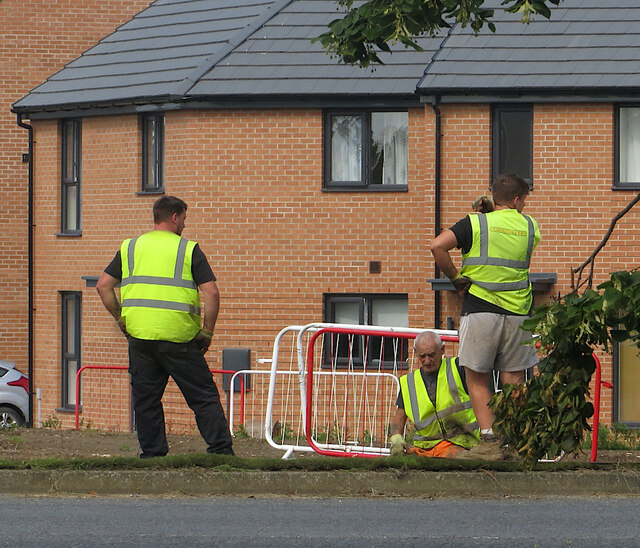
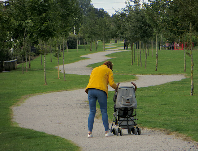
Grey Legs Images

Images are sourced within 2km of 53.79607/-0.35614803 or Grid Reference TA0834. Thanks to Geograph Open Source API. All images are credited.

Ings Bridge, Beverley Road, Hull - 1979 The bus is on an enthusiast tour commemorating the end of operation of the AEC Renown type of bus by the East Yorkshire company.

This is one of a series of views featuring buses in the 60s, 70s, and 80s. <a title="https://www.geograph.org.uk/search.php?i=137652761" href="https://www.geograph.org.uk/search.php?i=137652761">Link</a> 

The bridge as seen here has completely disappeared with the development of the road as a dual carriageway and with the 'angle' of the bend eased into a longer gradual curve. The bridge also marks the location of the boundary of the City of Kingston upon Hull.
Ings Bridge, Beverley Road, Hull - 1979
The bus is on an enthusiast tour commemorating the end of operation of the AEC Renown type of bus by the East Yorkshire company. This is one of a series of views featuring buses in the 60s, 70s, and 80s. Link The bridge as seen here has completely disappeared with the development of the road as a dual carriageway and with the 'angle' of the bend eased into a longer gradual curve. The bridge also marks the location of the boundary of the City of Kingston upon Hull.
Beverley and Barmston Drain, Hull Section between Greenwood Avenue and Endike Lane of this major land drain which here runs south-east towards its outfall into the River Hull.
Beverley and Barmston Drain, Hull
Section between Greenwood Avenue and Endike Lane of this major land drain which here runs south-east towards its outfall into the River Hull.
All the twos, Hull The eastern side of 22nd Avenue, taken on 22/5/22. The house on the left is number 22.
All the twos, Hull
The eastern side of 22nd Avenue, taken on 22/5/22. The house on the left is number 22.
Paddock near Dunswell Home to several horses to the west of Beverley High Road, south of the Dunswell roundabout.
Paddock near Dunswell
Home to several horses to the west of Beverley High Road, south of the Dunswell roundabout.
Linn Park, Hull
Linn Park, Hull
Trolley drowning, Hull If the nearby Tesco store ever wonders where some of their trolleys disappear to, there are at least six of them either underwater, or partially submerged here, in the Beverley and Barmston Drain by the Beckside Close bridge, where dumping them appears to be something of a local sport.
Trolley drowning, Hull
If the nearby Tesco store ever wonders where some of their trolleys disappear to, there are at least six of them either underwater, or partially submerged here, in the Beverley and Barmston Drain by the Beckside Close bridge, where dumping them appears to be something of a local sport.
Beverley & Barmston Drain, Hull A short section of the generally dead straight drain which meanders between Hall Road and Greenwood Avenue
Beverley & Barmston Drain, Hull
A short section of the generally dead straight drain which meanders between Hall Road and Greenwood Avenue
Wildlife-themed shelter, Hull Hull City Council provided 19 new bus shelters in March 2023, along Hedon Road and Hall Road, to replace old ones in poor condition. These all included 'wildflower roofs', planted to attract bees and other pollinators. Some, like this one, were also painted by a local artist working with students from the city's schools. This example in Hall Road reflects the project's ecological aspect.

Other examples of similar painted shelters include: <a href="https://www.geograph.org.uk/photo/7483495">TA1329 : Painted bus shelter, Hedon Road, Hull</a> <a href="https://www.geograph.org.uk/photo/7483496">TA0633 : Hall Road painted shelter, Hull</a> and <a href="https://www.geograph.org.uk/photo/7483498">TA0632 : Painted bus shelter, Hall Road, Hull</a>
Wildlife-themed shelter, Hull
Hull City Council provided 19 new bus shelters in March 2023, along Hedon Road and Hall Road, to replace old ones in poor condition. These all included 'wildflower roofs', planted to attract bees and other pollinators. Some, like this one, were also painted by a local artist working with students from the city's schools. This example in Hall Road reflects the project's ecological aspect. Other examples of similar painted shelters include: TA1329 : Painted bus shelter, Hedon Road, Hull TA0633 : Hall Road painted shelter, Hull and TA0632 : Painted bus shelter, Hall Road, Hull
Alpaca at Dunswell Belonging to Alpacas at The Field on Dunswell Lane <span class="nowrap"><a title="https://www.alpacasatthefield.co.uk/" rel="nofollow ugc noopener" href="https://www.alpacasatthefield.co.uk/">Link</a><img style="margin-left:2px;" alt="External link" title="External link - shift click to open in new window" src="https://s1.geograph.org.uk/img/external.png" width="10" height="10"/></span> which offers alpaca walking 'experiences'.
Alpaca at Dunswell
Belonging to Alpacas at The Field on Dunswell Lane LinkExternal link which offers alpaca walking 'experiences'.
Pond at Kingswood, Hull Arguably the most north-westerly point of the city of Hull, a sliver of wetland between the River Hull and Kingswood housing estate
Pond at Kingswood, Hull
Arguably the most north-westerly point of the city of Hull, a sliver of wetland between the River Hull and Kingswood housing estate
Turf laying, Hull These men were doing a spot of landscaping at the junction of Wawne Road and Diversity Drive, at the eastern edge of Kingswood Parks housing development.
Turf laying, Hull
These men were doing a spot of landscaping at the junction of Wawne Road and Diversity Drive, at the eastern edge of Kingswood Parks housing development.
The long and winding path, Hull The path runs along the north-western edge of the huge Kingswood housing development to the east of the River Hull.
The long and winding path, Hull
The path runs along the north-western edge of the huge Kingswood housing development to the east of the River Hull.
Housing site development, Hull Groundworks and drainage in progress on one of the final parcels of land on Kingswood, this one being developed by Beal Homes as 'King's Fold' to the east of Barnes Way.
Housing site development, Hull
Groundworks and drainage in progress on one of the final parcels of land on Kingswood, this one being developed by Beal Homes as 'King's Fold' to the east of Barnes Way.
Swan and cygnets on the lagoon, Hull Some of the avian residents of the surface water storage lagoon at the Bransholme water works. It serves the Bransholme and Kingswood areas of Hull where surface water is discharged into the adjacent River Hull. This intermediate storage lagoon stores water when river levels are high.

It has been designated a Site of Nature Conservation Interest (SNCI). Surveys have recorded water vole, smooth newts and grass snakes in an adjacent wetland nature reserve, and a wide variety of bird species at the lagoon. Other species  have included eels and non-native terrapins .
Swan and cygnets on the lagoon, Hull
Some of the avian residents of the surface water storage lagoon at the Bransholme water works. It serves the Bransholme and Kingswood areas of Hull where surface water is discharged into the adjacent River Hull. This intermediate storage lagoon stores water when river levels are high. It has been designated a Site of Nature Conservation Interest (SNCI). Surveys have recorded water vole, smooth newts and grass snakes in an adjacent wetland nature reserve, and a wide variety of bird species at the lagoon. Other species have included eels and non-native terrapins .
Swans on the lagoon, Hull A couple of a number of swans and cygnets on the surface water storage lagoon at the Bransholme water works. It serves the Bransholme and Kingswood areas of Hull where surface water is discharged into the adjacent River Hull. This intermediate storage lagoon stores water when river levels are high.

It has been designated a Site of Nature Conservation Interest (SNCI). Surveys have recorded water vole, smooth newts and grass snakes in an adjacent wetland nature reserve, and a wide variety of bird species at the lagoon. Other species  have included eels and non-native terrapins .
Swans on the lagoon, Hull
A couple of a number of swans and cygnets on the surface water storage lagoon at the Bransholme water works. It serves the Bransholme and Kingswood areas of Hull where surface water is discharged into the adjacent River Hull. This intermediate storage lagoon stores water when river levels are high. It has been designated a Site of Nature Conservation Interest (SNCI). Surveys have recorded water vole, smooth newts and grass snakes in an adjacent wetland nature reserve, and a wide variety of bird species at the lagoon. Other species have included eels and non-native terrapins .
River Hull, near Kingswood Looking upstream from the flood embankment footpath between Ennerdale and Kingswood
River Hull, near Kingswood
Looking upstream from the flood embankment footpath between Ennerdale and Kingswood
Dead tree, Sir Henry Cooper Park, Hull In the centre of the small park (effectively a dog-walking area in reality) off Thorpepark Road on the Orchard Park estate. The park is named after the Sir Henry Cooper School which stood on the site but closed in 2012, which in turn was named after a 19th century mayor of Hull (not the 20th century boxer).
Dead tree, Sir Henry Cooper Park, Hull
In the centre of the small park (effectively a dog-walking area in reality) off Thorpepark Road on the Orchard Park estate. The park is named after the Sir Henry Cooper School which stood on the site but closed in 2012, which in turn was named after a 19th century mayor of Hull (not the 20th century boxer).
Ennerdale Link bridges, Hull A view from the eastern side, of the bridges depicted at <a href="https://www.geograph.org.uk/photo/2775013">TA0834 : Ennerdale Link bridges, Hull</a>
Ennerdale Link bridges, Hull
A view from the eastern side, of the bridges depicted at TA0834 : Ennerdale Link bridges, Hull
Show me another place!

Grey Legs is located at Grid Ref: TA0834 (Lat: 53.79607, Lng: -0.35614803)

Division: East Riding

Unitary Authority: Kingston upon Hull

Police Authority: Humberside

What 3 Words

///across.carry.exact. Near Dunswell, East Yorkshire

Related Wikis

Kingswood, Kingston upon Hull

Kingswood, occasionally referred to as Kingswood Parks, is a modern housing estate on the northern fringe of Kingston upon Hull, England. Through much...

Hull United A.F.C.

Hull United Association Football Club is a football club in Hull, East Riding of Yorkshire, England. They were members of Division One of the Northern...

Westella & Willerby F.C.

Westella & Willerby Football Club is an English football club based in Willerby, East Riding of Yorkshire, they play their home games at Hill Top, Willerby...

Bransholme water works

Bransholme water works is a surface water storage and pumping station serving the Bransholme and Kingswood estates in Kingston upon Hull, England. The...

Nearby Amenities

Located within 500m of 53.79607,-0.35614803
Crossing
Crossing: unmarked
Crossing Island: no
Tactile Paving: no
Lat/Long: 53.7937475/-0.3585254
Restaurant
Frankie & Benny's
Brand: Frankie & Benny's
Brand Wikidata: Q5490892
Brand Wikipedia: en:Frankie & Benny's
Cuisine: american
Lat/Long: 53.7928126/-0.3536747
Barrier: lift_gate
Lat/Long: 53.7924702/-0.3557128
Crossing
Crossing: unmarked
Crossing Island: no
Kerb: lowered
Lat/Long: 53.7963569/-0.3503391
Crossing
Crossing: unmarked
Kerb: lowered
Tactile Paving: yes
Lat/Long: 53.7929341/-0.3547555
Crossing
Crossing: unmarked
Kerb: lowered
Tactile Paving: yes
Lat/Long: 53.7929419/-0.3549732
Crossing
Crossing: unmarked
Kerb: lowered
Tactile Paving: yes
Lat/Long: 53.7936856/-0.3548384
Crossing
Crossing: unmarked
Kerb: lowered
Tactile Paving: yes
Lat/Long: 53.7936562/-0.3545582
Runnymede Way Bushey Park
Naptan AtcoCode: 2290YHA01542
Naptan Bearing: N
Naptan CommonName: Runnymede Way Bushey Park
Naptan Crossing: Bushey Park
Naptan Indicator: Opp Bushey Park
Naptan PlusbusZoneRef: HULL
Naptan ShortCommonName: Bushey Park
Naptan Street: Runnymede Way
Note: No stop present
Physically Present: no
Source: naptan + survey
Lat/Long: 53.7961386/-0.3506696
Bus Stop
Runnymede Way Bushey Park
Bench: no
Bin: no
Check Date Shelter: 2023-04-02
Lit: yes
Naptan AtcoCode: 2290YHA01543
Naptan Bearing: S
Naptan CommonName: Runnymede Way Bushey Park
Naptan Crossing: Bushey Park
Naptan PlusbusZoneRef: HULL
Naptan ShortCommonName: Bushey Park
Naptan Street: Runnymede Way
Note: no code on sign
Shelter: no
Source: naptan + survey
Tactile Paving: no
Lat/Long: 53.7967772/-0.3506901
Bus Stop
Runnymede Way Hornscroft Park
Kerb: raised
Naptan AtcoCode: 2290YHA01544
Naptan Bearing: W
Naptan CommonName: Runnymede Way Hornscroft Park
Naptan PlusbusZoneRef: HULL
Naptan ShortCommonName: Runnymede Way
Naptan Street: Runnymede Way
Note: no code on sign; moved closer to Hornscroft Park
Shelter: no
Source: naptan + survey
Lat/Long: 53.7983134/-0.3546829
Bus Stop
Is In: Hull
Note: not in NaPTAN;no code on sign
Shelter: no
Lat/Long: 53.7978438/-0.35387
Bus Stop
Is In: Hull
Note: not in NaPTAN;no code on sign
Shelter: no
Lat/Long: 53.7981936/-0.357698
Bus Stop
Is In: Hull
Kerb: raised
Note: not in NaPTAN;no code on sign
Shelter: no
Lat/Long: 53.7979503/-0.3582044
Turning Circle
Lat/Long: 53.7980296/-0.3507132
Power: tower
Lat/Long: 53.7935069/-0.3534771
Power: tower
Lat/Long: 53.7941776/-0.3579108
Power: tower
Lat/Long: 53.7949376/-0.3628803
Kingswood
Place: suburb
Wikidata: Q24060121
Lat/Long: 53.7994607/-0.3530902
Crossing
Crossing: marked
Crossing Island: no
Tactile Paving: yes
Lat/Long: 53.7948801/-0.3502625
Generator Method: photovoltaic
Generator Output Electricity: yes
Generator Source: solar
Generator Type: solar_photovoltaic_panel
Location: roof
Power: generator
Lat/Long: 53.7991154/-0.3603832
Generator Method: photovoltaic
Generator Output Electricity: yes
Generator Source: solar
Generator Type: solar_photovoltaic_panel
Location: roof
Power: generator
Lat/Long: 53.7992041/-0.3519101
Generator Method: photovoltaic
Generator Output Electricity: yes
Generator Source: solar
Generator Type: solar_photovoltaic_panel
Location: roof
Power: generator
Lat/Long: 53.7987447/-0.3515185
Crossing
Crossing: unmarked
Crossing Island: no
Tactile Paving: no
Lat/Long: 53.7939859/-0.3600588
Crossing
Crossing: unmarked
Lat/Long: 53.7940834/-0.3600601
Crossing
Crossing: unmarked
Lat/Long: 53.7938483/-0.3585298
The data included in this document is from www.openstreetmap.org. The data is made available under ODbL.

Have you been to Grey Legs?

Leave your review of Grey Legs below (or comments, questions and feedback).