Greenigoe
Settlement in Orkney
Scotland
Greenigoe
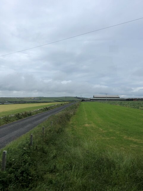
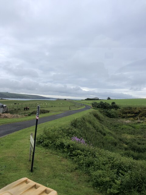
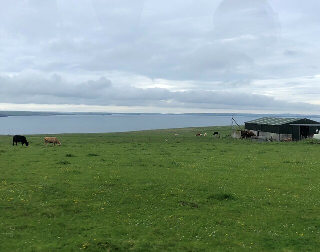
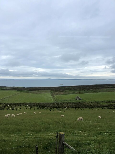
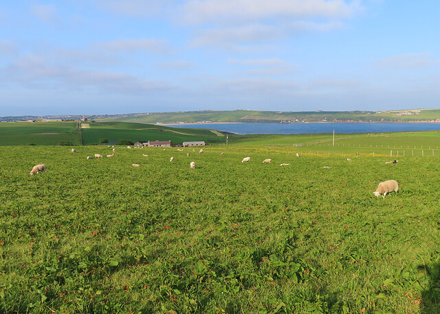
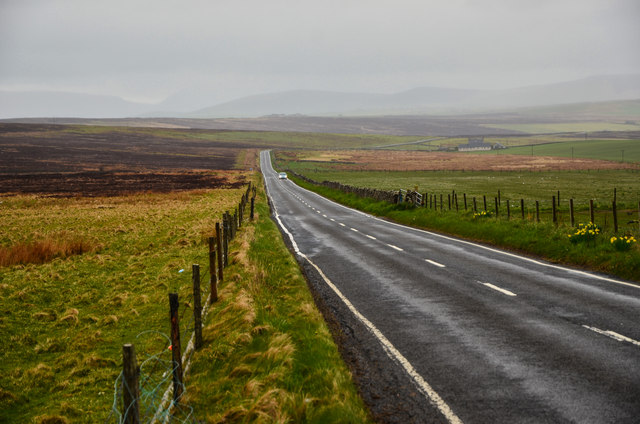
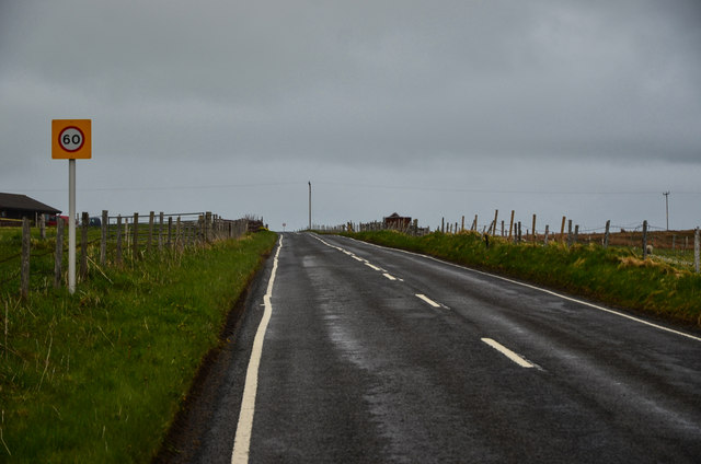
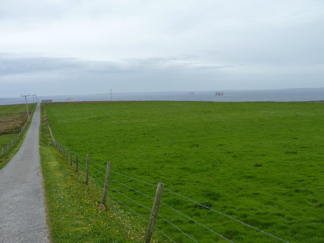
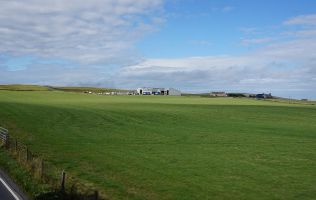
Greenigoe is a small coastal village located on the eastern coast of the Mainland island in the Orkney archipelago, Scotland. Situated approximately 15 miles northeast of the main town of Kirkwall, Greenigoe is known for its picturesque natural beauty and historical significance.
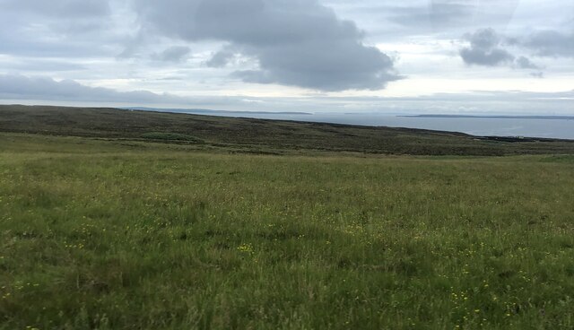
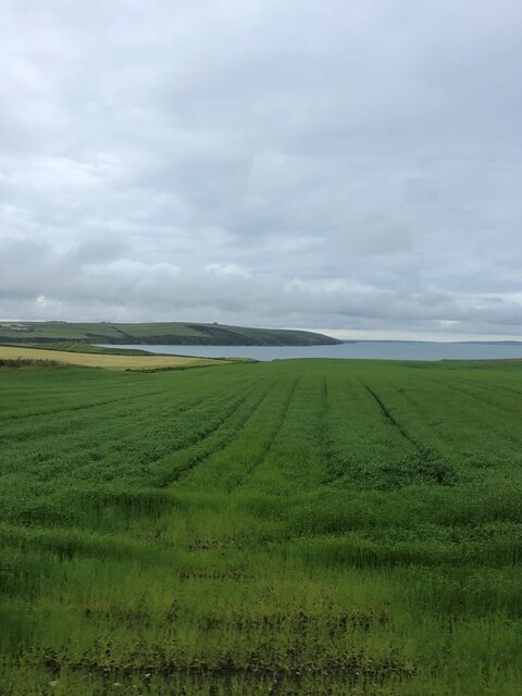
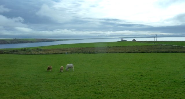
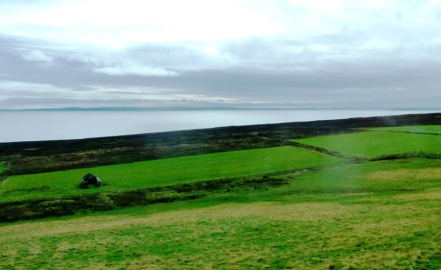
The village is nestled within a sheltered bay, providing breathtaking views of the North Sea. It is surrounded by rolling green hills and dramatic cliffs, creating a serene and tranquil atmosphere. The rugged coastline offers opportunities for scenic walks and exploration, with its fascinating rock formations and abundant wildlife.
Greenigoe has a rich history dating back to the Viking era, and the remnants of a Norse settlement can still be seen in the area. The village is particularly renowned for its impressive 16th-century sea stack named The Castle of Greenigoe. This ancient tower served as a defensive structure and is now a popular tourist attraction.
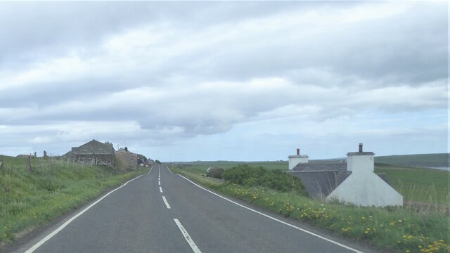
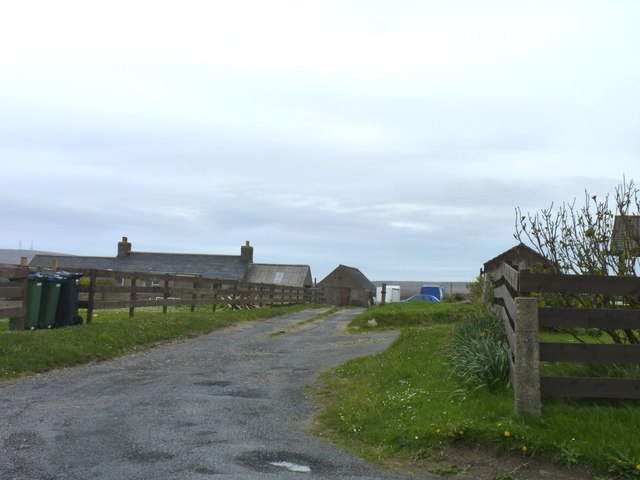
Despite its small size, Greenigoe offers a strong sense of community, with a close-knit population that engages in various activities and events. The village has a primary school, a local pub, and a community center that serves as a hub for social gatherings and recreational activities.
Visitors to Greenigoe can indulge in a range of outdoor pursuits, such as fishing, birdwatching, and coastal walks. The nearby Brough of Deerness, with its stunning cliffs and seabird colonies, is a must-visit destination for nature enthusiasts.
In conclusion, Greenigoe is a charming coastal village in Orkney, offering a unique blend of natural beauty and historical significance. Whether it's exploring ancient ruins or enjoying the tranquility of the coastline, Greenigoe provides a delightful experience for both residents and visitors alike.
If you have any feedback on the listing, please let us know in the comments section below.
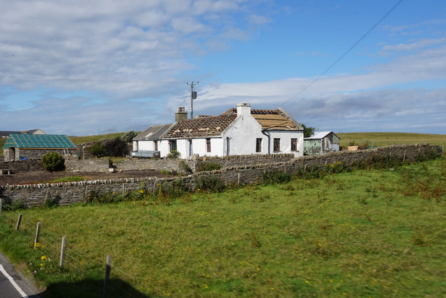
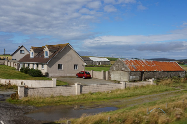
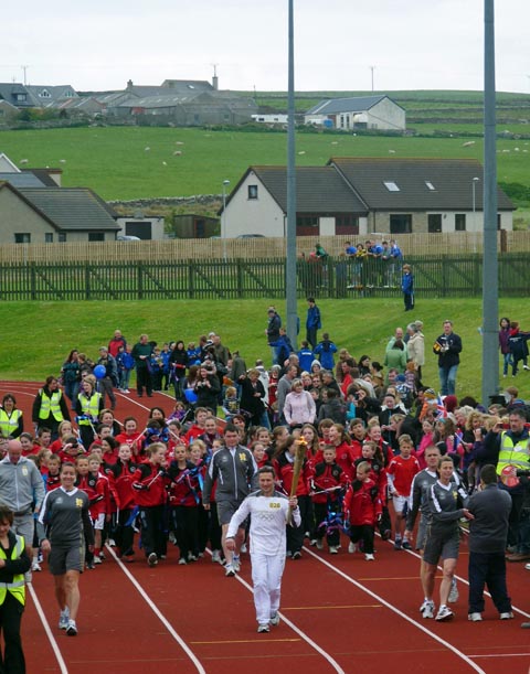
Greenigoe Images
Images are sourced within 2km of 58.953951/-3.0161212 or Grid Reference HY4107. Thanks to Geograph Open Source API. All images are credited.
Greenigoe is located at Grid Ref: HY4107 (Lat: 58.953951, Lng: -3.0161212)
Unitary Authority: Orkney Islands
Police Authority: Highlands and Islands
What 3 Words
///harp.fortified.calm. Near Kirkwall, Orkney Islands
Nearby Locations
Related Wikis

Scapa distillery
Scapa distillery is a Scotch whisky distillery on The Mainland of Orkney, Scotland on the shore of Scapa Flow near the town of Kirkwall. Scapa is the third...

St Ola
St Ola is a parish on Mainland, Orkney. It is in the centre of the island, east of the parish Firth and north of Holm. It contains the capital and largest...

HMS Royal Oak (08)
HMS Royal Oak was one of five Revenge-class battleships built for the Royal Navy during the First World War. Completed in 1916, the ship first saw combat...

Waulkmill Bay
Waulkmill Bay is a tidal bay on the southwest of Mainland Orkney, Scotland. This bay and its immediately surrounding area have been identified as a Site...

The Superstation Orkney
The Superstation Orkney, also known as just The Superstation, was a commercial radio station, broadcasting to Orkney and Caithness. Until its closure in...

Balfour Hospital
Balfour Hospital is a rural general hospital in Kirkwall, Orkney. It is managed by NHS Orkney. == History == In 1836, John Balfour of Trenabie set up a...

Highland Park distillery
Highland Park distillery is the second northernmost single malt Scotch whisky distillery in Scotland (Kimbland distillery on Sanday being 22 miles further...
The Pickaquoy Centre
The Pickaquoy Centre, locally known as the Picky Centre, or simply Picky, is a multi-use leisure centre in Kirkwall, Orkney, Scotland. It is the largest...
Nearby Amenities
Located within 500m of 58.953951,-3.0161212Have you been to Greenigoe?
Leave your review of Greenigoe below (or comments, questions and feedback).