Greenland

Settlement in Caithness

Scotland

Greenland

Pasture land near Greenland hosting cows and their calves Looking southward.
Pasture land near Greenland hosting cows and their calves Credit: Peter Wood

The requested URL returned error: 429 Too Many Requests

If you have any feedback on the listing, please let us know in the comments section below.
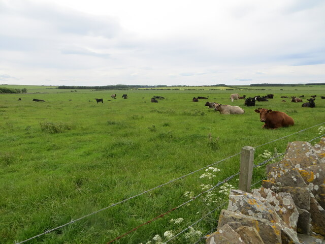
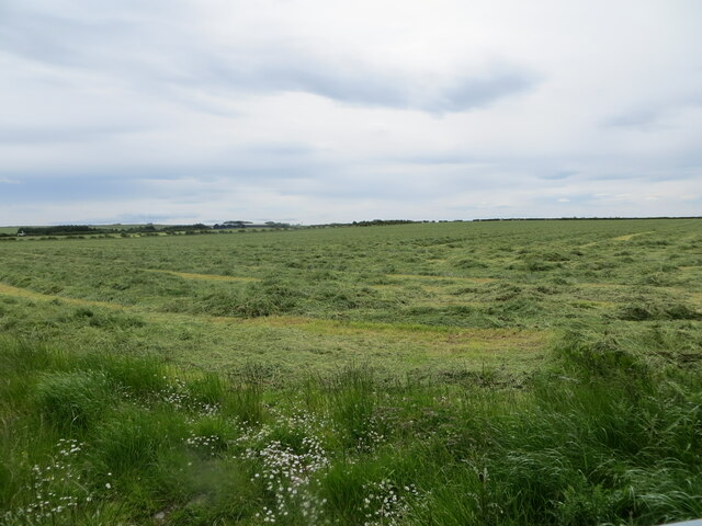
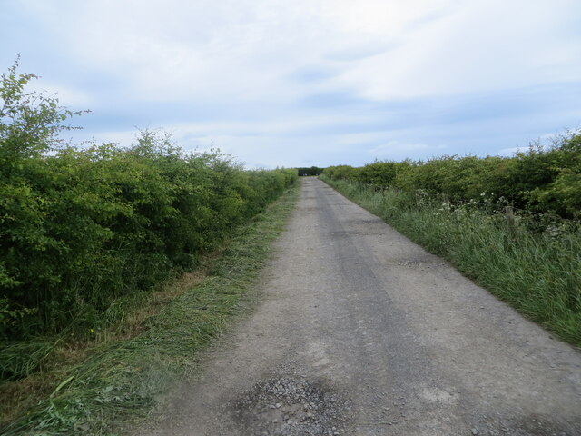
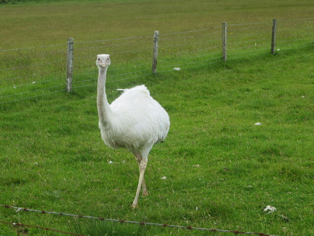
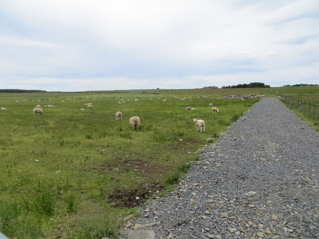
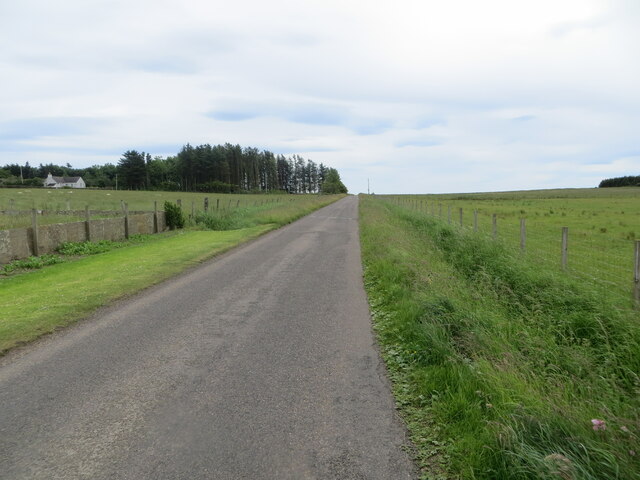
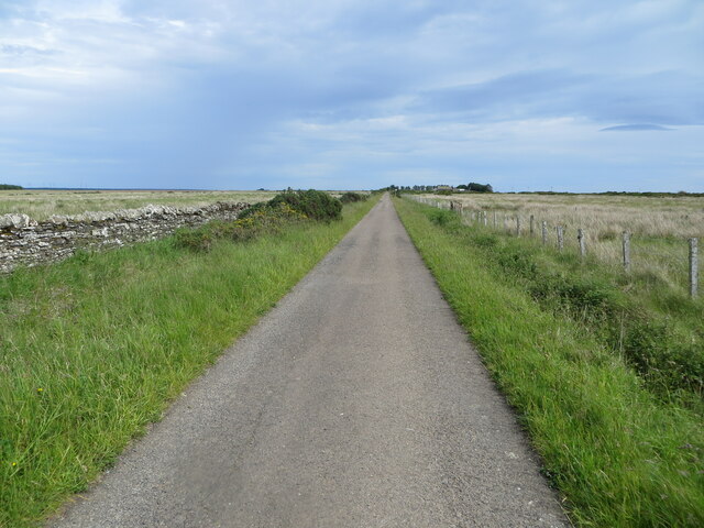
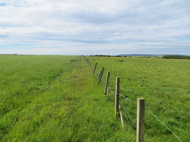
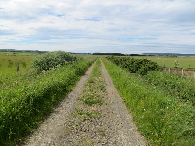
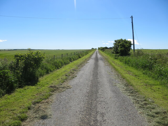
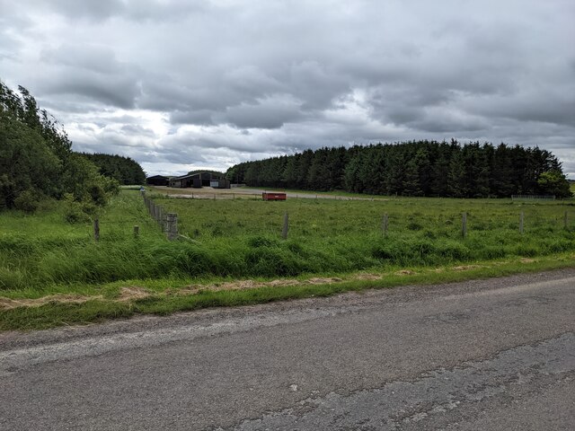
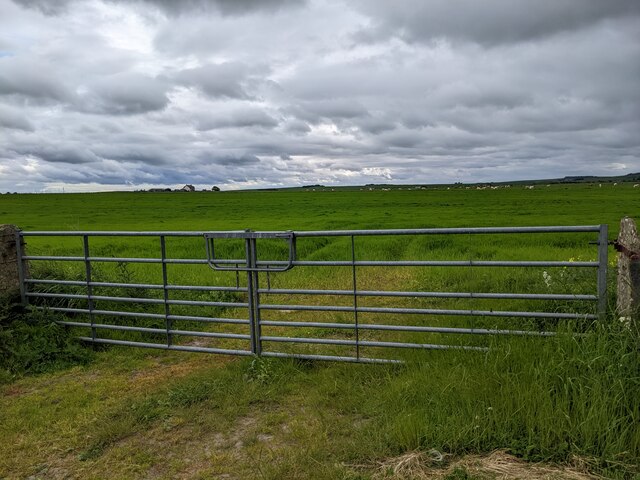
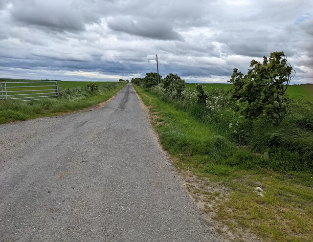
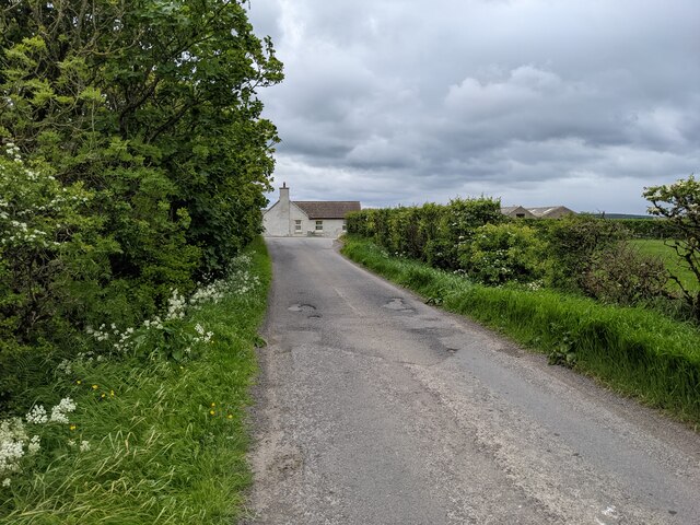
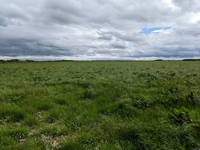
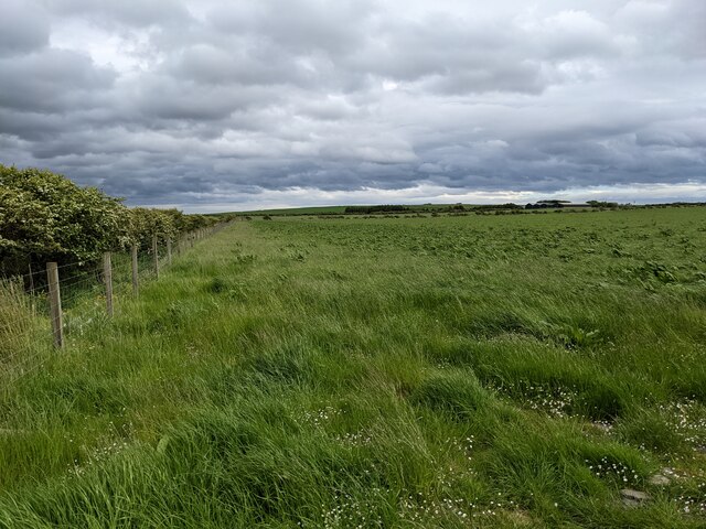
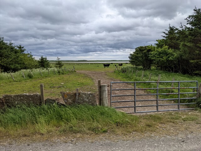
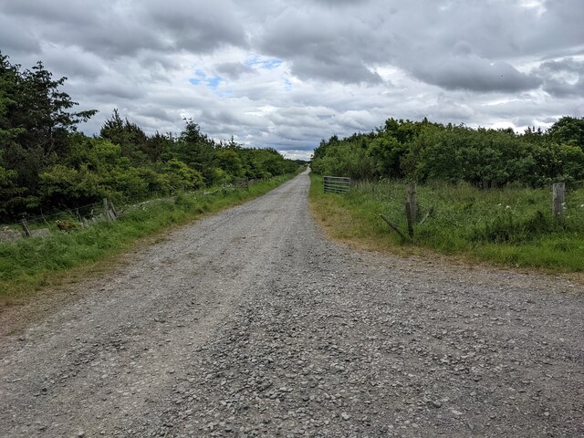
Greenland Images

Images are sourced within 2km of 58.590658/-3.3167006 or Grid Reference ND2367. Thanks to Geograph Open Source API. All images are credited.

Pasture land near Greenland hosting cows and their calves Looking southward.
Pasture land near Greenland hosting cows and their calves
Looking southward.
Field of cut hay left to dry before storing, Greenland Looking westward.
Field of cut hay left to dry before storing, Greenland
Looking westward.
Hedge-lined track giving access to Greenland Mains Looking north-eastward.
Hedge-lined track giving access to Greenland Mains
Looking north-eastward.
An inquisitive Rhea One of my more unusual sightings whilst travelling through Caithness.
An inquisitive Rhea
One of my more unusual sightings whilst travelling through Caithness.
Pastureland hosting sheep, Greenland Looking north-westward.
Pastureland hosting sheep, Greenland
Looking north-westward.
Fence-lined minor road, Greenland Looking south-eastward.
Fence-lined minor road, Greenland
Looking south-eastward.
Wall and fence-lined minor road near Berry Hill Looking south-eastward.
Wall and fence-lined minor road near Berry Hill
Looking south-eastward.
Pastureland divided by fencing near Tain Looking north-westward.
Pastureland divided by fencing near Tain
Looking north-westward.
Fence enclosed farm track near to Tain of Olrig Looking north-westward.
Fence enclosed farm track near to Tain of Olrig
Looking north-westward.
Track giving access to West Greenland Looking south-eastward.
Track giving access to West Greenland
Looking south-eastward.
Old airstrip, newer plantations
Double gate and grassy field near West Greenland
The lane to West Greenland
A house on the junction
Grassland near Greenland Well named!
Grassland near Greenland
Well named!
Lush grass on the field boundary
Remains of a flagstone wall near Loch Heilen The wall has been supplemented with a wire fence.
Remains of a flagstone wall near Loch Heilen
The wall has been supplemented with a wire fence.
A gravel track into the woodland
Show me another place!

Greenland is located at Grid Ref: ND2367 (Lat: 58.590658, Lng: -3.3167006)

Unitary Authority: Highland

Police Authority: Highlands and Islands

What 3 Words

///tradition.nightlife.grounding. Near Thurso, Highland

Nearby Locations

Greenland

Related Wikis

RAF Castletown

Royal Air Force Castletown or more simply RAF Castletown, is a former Royal Air Force station that operated during the Second World War. Built near to...

Dunnet Forest

Dunnet Forest in Dunnet, Caithness, Scotland, is the most northerly community woodland on the UK mainland, and has been managed since 2003 by Dunnet Forestry...

Reaster

Reaster is a small village in Bower parish, Caithness Highland, Scotland.

Dunnet

Dunnet is a village in Caithness, in the Highland area of Scotland. It is within the Parish of Dunnet. == Village == The village centres on the A836–B855...

Nearby Amenities

Located within 500m of 58.590658,-3.3167006
Power: pole
Lat/Long: 58.5904/-3.3164861
Power: pole
Lat/Long: 58.5904434/-3.3169653
Power: pole
Lat/Long: 58.5904857/-3.317544
Power: pole
Lat/Long: 58.590472/-3.3184861
Power: pole
Lat/Long: 58.5904698/-3.3194627
Power: pole
Lat/Long: 58.5904572/-3.3204129
Power: pole
Lat/Long: 58.590454/-3.3213631
Power: pole
Lat/Long: 58.5907598/-3.3220047
Power: pole
Lat/Long: 58.5910656/-3.3226463
Power: pole
Lat/Long: 58.5913904/-3.323357
Power: pole
Lat/Long: 58.5922401/-3.3231316
Power: pole
Lat/Long: 58.5926421/-3.3229651
Power: pole
Lat/Long: 58.5930326/-3.3228027
Power: pole
Lat/Long: 58.589727/-3.3222352
Power: pole
Lat/Long: 58.5889842/-3.3231854
The data included in this document is from www.openstreetmap.org. The data is made available under ODbL.

Have you been to Greenland?

Leave your review of Greenland below (or comments, questions and feedback).