Greenfield

Settlement in Yorkshire

England

Greenfield

Bus stop, retaining wall and pylon, Sowood near Huddersfield
Bus stop, retaining wall and pylon, Sowood near Huddersfield Credit: Steve Fareham

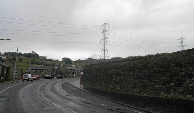
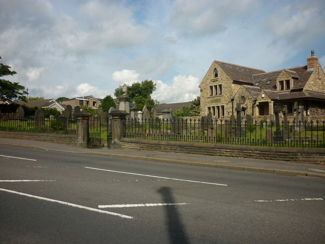
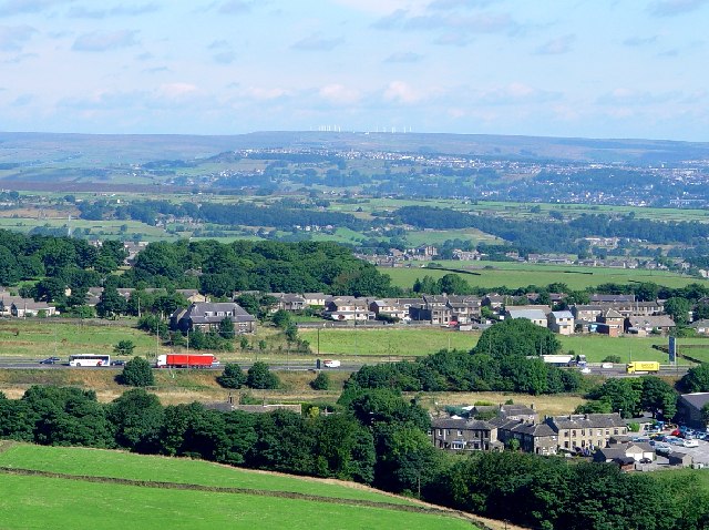
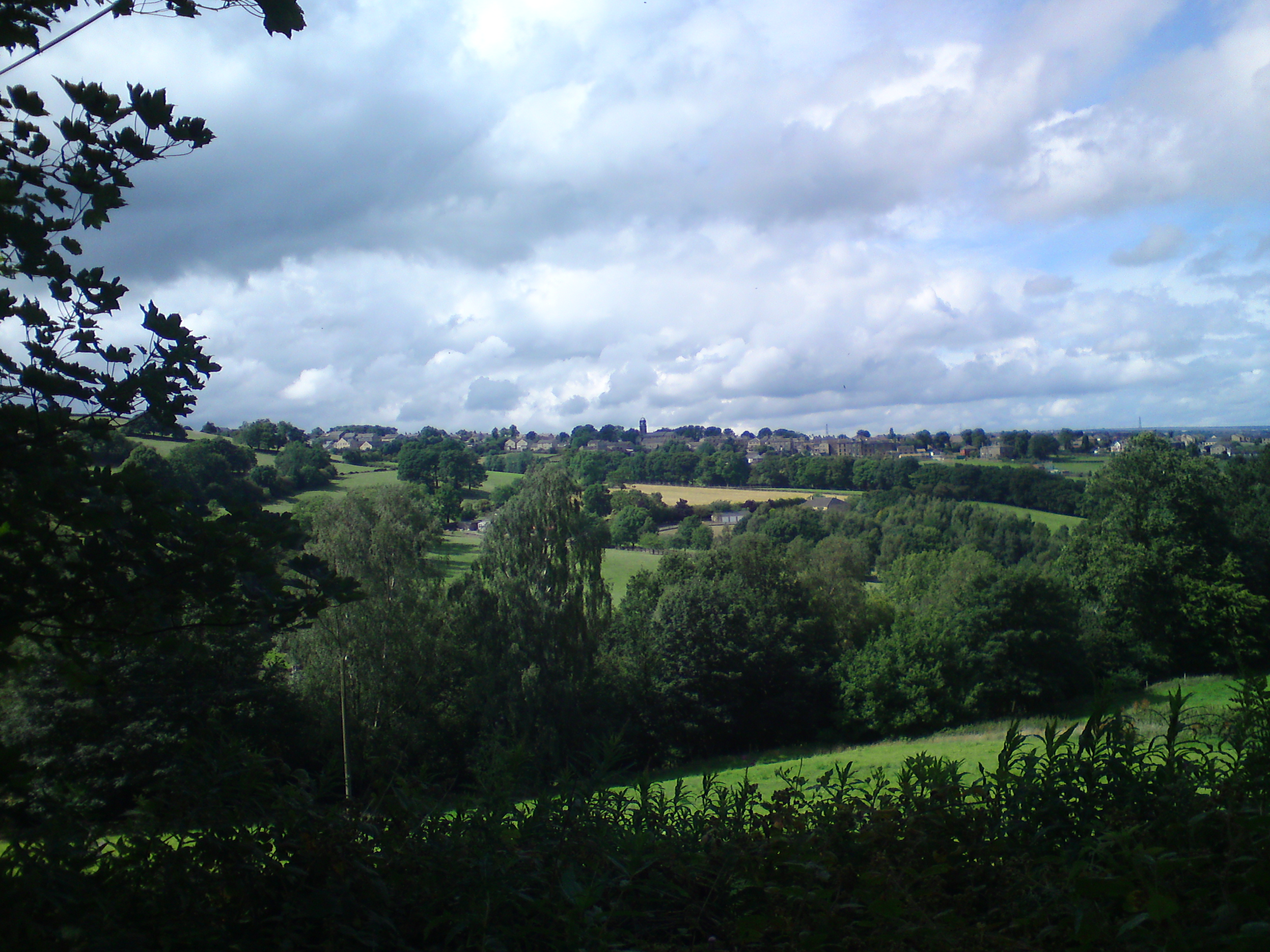
Greenfield is a charming village nestled in the county of Yorkshire, England. Situated in the picturesque Holme Valley, it is part of the larger metropolitan borough of Kirklees. With a population of around 2,500 residents, Greenfield exudes a close-knit community atmosphere.

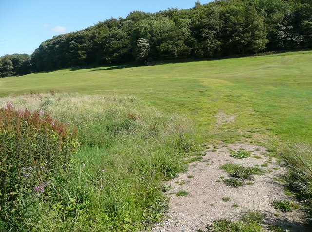
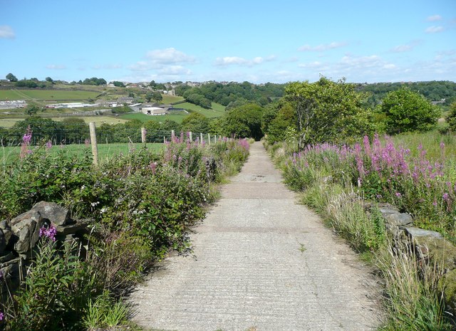
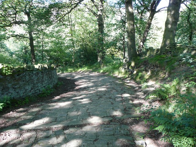
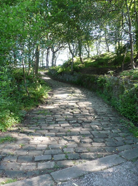
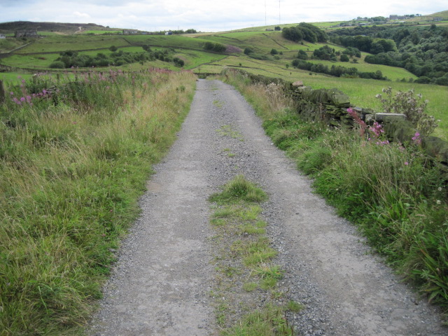
The village is renowned for its stunning natural beauty, surrounded by rolling hills and verdant landscapes. Visitors and locals alike are drawn to the breathtaking scenery, making Greenfield a popular destination for outdoor enthusiasts. The Trans Pennine Trail, a long-distance path for walkers, cyclists, and horse riders, passes through the village, providing access to the stunning countryside and connecting Greenfield to nearby towns and villages.

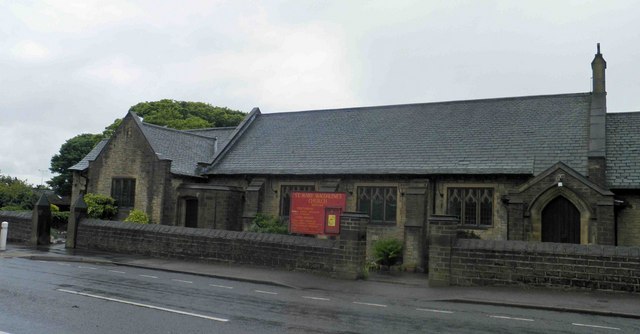
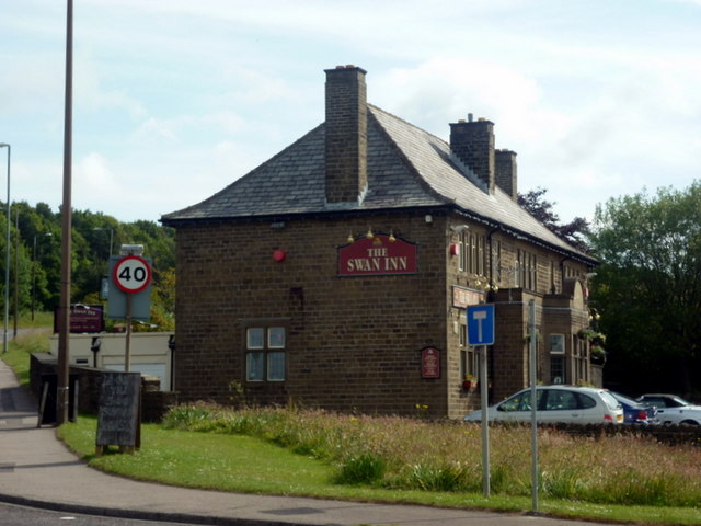
Greenfield boasts a range of amenities to cater to the needs of its residents. The village center features a variety of shops, including a post office, convenience stores, and local businesses. There are also several pubs and restaurants where locals can gather and socialize.

Education is well catered for in Greenfield, with a primary school providing quality education for young children. For further education, the village benefits from excellent transport links to nearby towns, offering a range of secondary and higher education options.

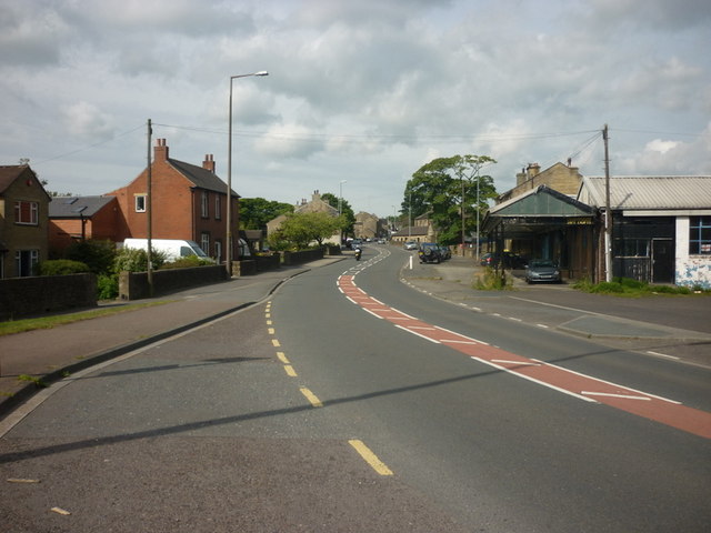
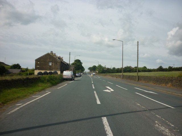
Transportation in Greenfield is convenient, with regular bus services connecting the village to nearby towns and cities, including Huddersfield and Manchester. The village is also well-connected by road, with easy access to major highways.

In summary, Greenfield is a picturesque village in Yorkshire, offering a close-knit community, stunning natural surroundings, and a range of amenities, making it an idyllic place to live or visit.

If you have any feedback on the listing, please let us know in the comments section below.
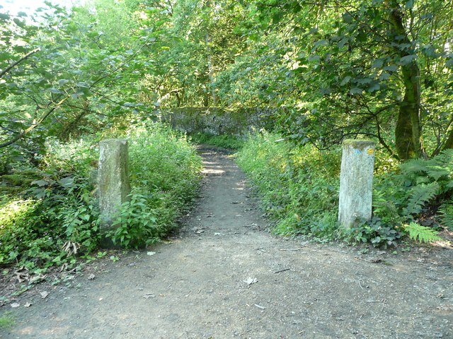
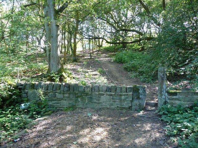
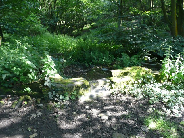
Greenfield Images

Images are sourced within 2km of 53.663009/-1.8834667 or Grid Reference SE0718. Thanks to Geograph Open Source API. All images are credited.

Bus stop, retaining wall and pylon, Sowood near Huddersfield
St. Mary Magdalene's church, Outlane
The 643, Lindley Moor Road
The A640, New Hey Road, goes over the M62
The Swan Inn on New Hey Road, Outlane
New Hey Road, Outlane
A graveyard on New Hey Road, Outlane
New Hey Road leading west from Outlane
Path across the golf course, Longwood This path leads to Nettleton Hill via the site of Petty Royd, with a branch up through Pighill Wood.
Path across the golf course, Longwood
This path leads to Nettleton Hill via the site of Petty Royd, with a branch up through Pighill Wood.
Shaw Lane, Longwood An old lane, shown on the 1850 six-inch map, now with a modern concrete surface.
Shaw Lane, Longwood
An old lane, shown on the 1850 six-inch map, now with a modern concrete surface.
Shaw Lane, Longwood The bend at the top of the climb up through Hirst Wood.
Shaw Lane, Longwood
The bend at the top of the climb up through Hirst Wood.
Shaw Lane, Longwood The climb up through Hirst Wood. Paving this lane with setts must have been expensive; was it paid for by the owner of Shaw, or by the township?
Shaw Lane, Longwood
The climb up through Hirst Wood. Paving this lane with setts must have been expensive; was it paid for by the owner of Shaw, or by the township?
Site of Petty Royd, Longwood From the name I assume that this was a farmstead made by clearing woodland in the medieval or early modern period. There is very little of the buildings left now.
Site of Petty Royd, Longwood
From the name I assume that this was a farmstead made by clearing woodland in the medieval or early modern period. There is very little of the buildings left now.
Stone posts at Petty Royd, Longwood It seems likely that these are tenter posts, but not the usual type. The cloth pieces were stretched between the post and a hook on the wall of a weaver's cottage. (information from Ian Beesley via Chris Allen)
Stone posts at Petty Royd, Longwood
It seems likely that these are tenter posts, but not the usual type. The cloth pieces were stretched between the post and a hook on the wall of a weaver's cottage. (information from Ian Beesley via Chris Allen)
Entrance to Hirst Mill, Longwood Not very grand, but presumably there was a gate here at one time.
Entrance to Hirst Mill, Longwood
Not very grand, but presumably there was a gate here at one time.
Footpath in Hirst Wood, Longwood This looks very tidy, with the wall and stile repaired and an edging to the path, which leads onto and across the golf course.
Footpath in Hirst Wood, Longwood
This looks very tidy, with the wall and stile repaired and an edging to the path, which leads onto and across the golf course.
Ruin in the site of Hirst Mill, Longwood  Not enough left to guess what part of the mill this was. Hirst Mill was founded at the end of the 19C, and functioned until the early 20C.
Ruin in the site of Hirst Mill, Longwood
Not enough left to guess what part of the mill this was. Hirst Mill was founded at the end of the 19C, and functioned until the early 20C.
Broom Hill Road
Broom Hill Road
Show me another place!

Greenfield is located at Grid Ref: SE0718 (Lat: 53.663009, Lng: -1.8834667)

Division: West Riding

Unitary Authority: Calderdale

Police Authority: West Yorkshire

What 3 Words

///upholds.flooding.landlady. Near Holywell Green, West Yorkshire

Related Wikis

Sowood, West Yorkshire

Sowood is a village in the civil parish of Stainland and District, in the Calderdale district, in the county of West Yorkshire, England. The village falls...

Outlane

Outlane is a village in Kirklees, West Yorkshire, England, situated approximately 2.5 miles (4 km) south-west of Elland, 3.7 miles (6 km) north-west of...

Stainland

Stainland is a village in the civil parish of Stainland and District, in Calderdale, West Yorkshire, England. The village is part of the Greetland and...

Black Brook, West Yorkshire

The Black Brook is a small river in Calderdale, West Yorkshire, England. The Black Brook rises near the border of Calderdale and Kirklees next to Scammonden...

Nearby Amenities

Located within 500m of 53.663009,-1.8834667
Sowood
Place: village
Wikidata: Q7571946
Lat/Long: 53.661896/-1.8813737
Post Box
Operator: Royal Mail
Ref: HX4 46
Lat/Long: 53.6635827/-1.8812466
Power: tower
Lat/Long: 53.6601076/-1.8817471
Power: tower
Lat/Long: 53.6594122/-1.8852776
Bus Stop
New Road
Local Ref: 45021497
Naptan AtcoCode: 450021497
Naptan Bearing: NW
Naptan CommonName: New Road
Naptan Crossing: Nr-At Gosport Lane (Sowood Green Side)
Naptan Indicator: Stop 45021497
Naptan Notes: OSR taken place 081205
Naptan PlusbusZoneRef: LEEDS
Naptan ShortCommonName: Claypit Lane
Naptan Street: New Road
Naptan Verified: no
Source: naptan_import
Lat/Long: 53.658737/-1.8812431
Bus Stop
Green Lane
Local Ref: 45021498
Naptan AtcoCode: 450021498
Naptan Bearing: N
Naptan CommonName: Green Lane
Naptan Crossing: Nr-Opp Sunny Bank
Naptan Indicator: Stop 45021498
Naptan Landmark: Mount Royal
Naptan Notes: OSR taken place 081205
Naptan PlusbusZoneRef: LEEDS
Naptan ShortCommonName: Mount Royal
Naptan Street: Green Lane
Naptan Verified: no
Source: naptan_import
Lat/Long: 53.6611724/-1.8808428
Bus Stop
Green Lane Park Lane
Local Ref: 45021499
Naptan AtcoCode: 450021499
Naptan Bearing: N
Naptan CommonName: Green Lane Park Lane
Naptan Crossing: Park Lane
Naptan Indicator: Stop 45021499
Naptan Landmark: The Airborne PH
Naptan PlusbusZoneRef: LEEDS
Naptan ShortCommonName: Park Lane
Naptan Street: Green Lane
Naptan Verified: no
Source: naptan_import
Lat/Long: 53.6632986/-1.8813886
Bus Stop
Broadgate
Local Ref: 45021500
Naptan AtcoCode: 450021500
Naptan Bearing: S
Naptan CommonName: Broadgate
Naptan Crossing: Moor Hey Lane
Naptan Indicator: Stop 45021500
Naptan Landmark: Sowood Community Centre
Naptan Notes: OSR taken place 151205
Naptan PlusbusZoneRef: LEEDS
Naptan ShortCommonName: Sowood Comm Centre
Naptan Street: Stainland Road - Broadgate
Naptan Verified: no
Source: naptan_import
Lat/Long: 53.6644866/-1.8801529
Bus Stop
Stainland Road
Local Ref: 45021512
Naptan AtcoCode: 450021512
Naptan Bearing: N
Naptan CommonName: Stainland Road
Naptan Crossing: Nr-Opp Stanley Lane
Naptan Indicator: Stop 45021512
Naptan Landmark: Community Centre
Naptan PlusbusZoneRef: LEEDS
Naptan ShortCommonName: Moor Hey Lane
Naptan Street: Stainland Road
Naptan Verified: no
Source: naptan_import
Lat/Long: 53.6646554/-1.880172
Bus Stop
Stainland Road
Local Ref: 45021513
Naptan AtcoCode: 450021513
Naptan Bearing: SE
Naptan CommonName: Stainland Road
Naptan Crossing: Nr-Opp Moor Hey Lane
Naptan Indicator: Stop 45021513
Naptan Landmark: Knowle Top
Naptan PlusbusZoneRef: LEEDS
Naptan ShortCommonName: Knowle Top
Naptan Street: Stainland Road
Naptan Verified: no
Source: naptan_import
Lat/Long: 53.666335/-1.8807019
Bus Stop
Stainland Road Knowle Top
Local Ref: 45021514
Naptan AtcoCode: 450021514
Naptan Bearing: NW
Naptan CommonName: Stainland Road Knowle Top
Naptan Crossing: Knowle Top
Naptan Indicator: Stop 45021514
Naptan Notes: OSR taken place 091205
Naptan PlusbusZoneRef: LEEDS
Naptan ShortCommonName: Knowle Top
Naptan Street: Stainland Road
Naptan Verified: no
Source: naptan_import
Lat/Long: 53.6664201/-1.8809644
Bus Stop
Forest Hill Road Park Lane
Local Ref: 45021472
Naptan AtcoCode: 450021472
Naptan Bearing: SE
Naptan CommonName: Forest Hill Road Park Lane
Naptan Crossing: Park Lane
Naptan Indicator: Stop 45021472
Naptan Landmark: Dog & Partridge PH
Naptan PlusbusZoneRef: LEEDS
Naptan ShortCommonName: Park Lane
Naptan Street: Forest Hill Road
Naptan Verified: no
Source: naptan_import
Lat/Long: 53.6603968/-1.8874277
Bus Stop
Forest Hill Road Marsden Gate
Local Ref: 45021473
Naptan AtcoCode: 450021473
Naptan Bearing: NW
Naptan CommonName: Forest Hill Road Marsden Gate
Naptan Crossing: Marsden Gate
Naptan Indicator: Stop 45021473
Naptan Landmark: Dog & Partridge PH
Naptan PlusbusZoneRef: LEEDS
Naptan ShortCommonName: Marsden Gate
Naptan Street: Forest Hill Road
Naptan Verified: no
Source: naptan_import
Lat/Long: 53.660361/-1.8875942
Bus Stop
Park Lane
Local Ref: 45021474
Naptan AtcoCode: 450021474
Naptan Bearing: E
Naptan CommonName: Park Lane
Naptan Crossing: A Green Field Close
Naptan Indicator: Stop 45021474
Naptan Landmark: Play Ground
Naptan PlusbusZoneRef: LEEDS
Naptan ShortCommonName: Greenfield Close
Naptan Street: Park Lane
Naptan Verified: no
Source: naptan_import
Lat/Long: 53.6632174/-1.884354
Bus Stop
Park Lane Thorn Hill
Local Ref: 45024455
Naptan AtcoCode: 450024455
Naptan Bearing: W
Naptan CommonName: Park Lane Thorn Hill
Naptan Crossing: Thorn Hill
Naptan Indicator: Stop 45024455
Naptan Notes: OSR taken place 081205
Naptan PlusbusZoneRef: LEEDS
Naptan ShortCommonName: Thorn Hill
Naptan Street: Park Lane
Naptan Verified: no
Source: naptan_import
Lat/Long: 53.6634086/-1.881775
Bus Stop
Green Lane
Local Ref: 45051104
Naptan AtcoCode: 450051104
Naptan Bearing: S
Naptan BusStopType: CUS
Naptan CommonName: Green Lane
Naptan Indicator: Stop 45051104
Naptan PlusbusZoneRef: LEEDS
Naptan ShortCommonName: Mount Royal
Naptan Street: Green Lane
Naptan Verified: no
Source: naptan_import
Lat/Long: 53.6611722/-1.8806158
Bus Stop
Green Lane Park Lane
Local Ref: 45051105
Naptan AtcoCode: 450051105
Naptan Bearing: S
Naptan BusStopType: CUS
Naptan CommonName: Green Lane Park Lane
Naptan Indicator: Stop 45051105
Naptan PlusbusZoneRef: LEEDS
Naptan ShortCommonName: Park Lane
Naptan Street: Green Lane
Naptan Verified: no
Source: naptan_import
Lat/Long: 53.6632058/-1.881298
Bus Stop
Park Lane Thorn Hill
Local Ref: 45051456
Naptan AtcoCode: 450051456
Naptan Bearing: S
Naptan BusStopType: CUS
Naptan CommonName: Park Lane Thorn Hill
Naptan Indicator: Stop 45051456
Naptan PlusbusZoneRef: LEEDS
Naptan ShortCommonName: Green Lane
Naptan Street: Park Lane
Naptan Verified: no
Source: naptan_import
Lat/Long: 53.6634716/-1.8815334
Yorkshire Water Pumping Station
Building: yes
Lat/Long: 53.6613791/-1.8900174
Pub
Dog & Partridge
Wikidata: Q26427152
Lat/Long: 53.6602487/-1.8869094
Yorkshire Water Pumping Station
Building: yes
Lat/Long: 53.6650543/-1.8812719
Animal Boarding
Sowood Cattery
Animal Boarding: cat
Lat/Long: 53.6594043/-1.8795746
Advertising: board
Lat/Long: 53.6632031/-1.8844338
Power: pole
Lat/Long: 53.6658725/-1.8887908
Power: pole
Lat/Long: 53.6656473/-1.8872332
Power: pole
Lat/Long: 53.6654702/-1.8862028
Power: pole
Lat/Long: 53.6652847/-1.8850625
Power: pole
Lat/Long: 53.6651546/-1.8841843
Power: pole
Lat/Long: 53.6649656/-1.8830325
Power: pole
Lat/Long: 53.664964/-1.8819274
Power: pole
Lat/Long: 53.6649555/-1.8809185
Power: pole
Lat/Long: 53.6649732/-1.8800631
Power: pole
Lat/Long: 53.6649602/-1.87886
Power: pole
Lat/Long: 53.664648/-1.878119
Power: pole
Lat/Long: 53.6643167/-1.8773503
Power: pole
Lat/Long: 53.6639324/-1.876466
Power: pole
Lat/Long: 53.6645513/-1.8905004
Defibrillator
Access: yes
Defibrillator Location: outside Sowood Community Centre
Emergency: defibrillator
Indoor: no
Lat/Long: 53.6645118/-1.8799306
Bench
Lat/Long: 53.6636756/-1.8811485
Bench
Lat/Long: 53.663628/-1.8812048
The data included in this document is from www.openstreetmap.org. The data is made available under ODbL.

Have you been to Greenfield?

Leave your review of Greenfield below (or comments, questions and feedback).