Hard Platts Wood

Wood, Forest in Yorkshire

England

Hard Platts Wood

Bus stop, retaining wall and pylon, Sowood near Huddersfield
Bus stop, retaining wall and pylon, Sowood near Huddersfield Credit: Steve Fareham

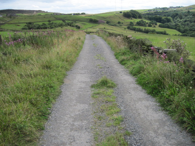
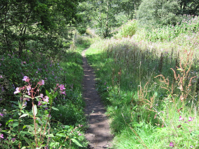
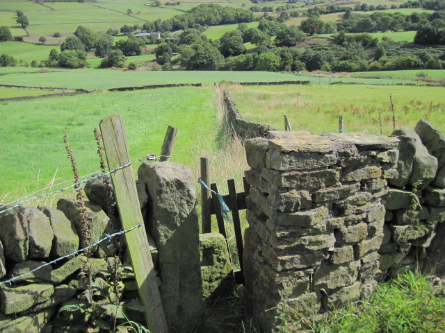
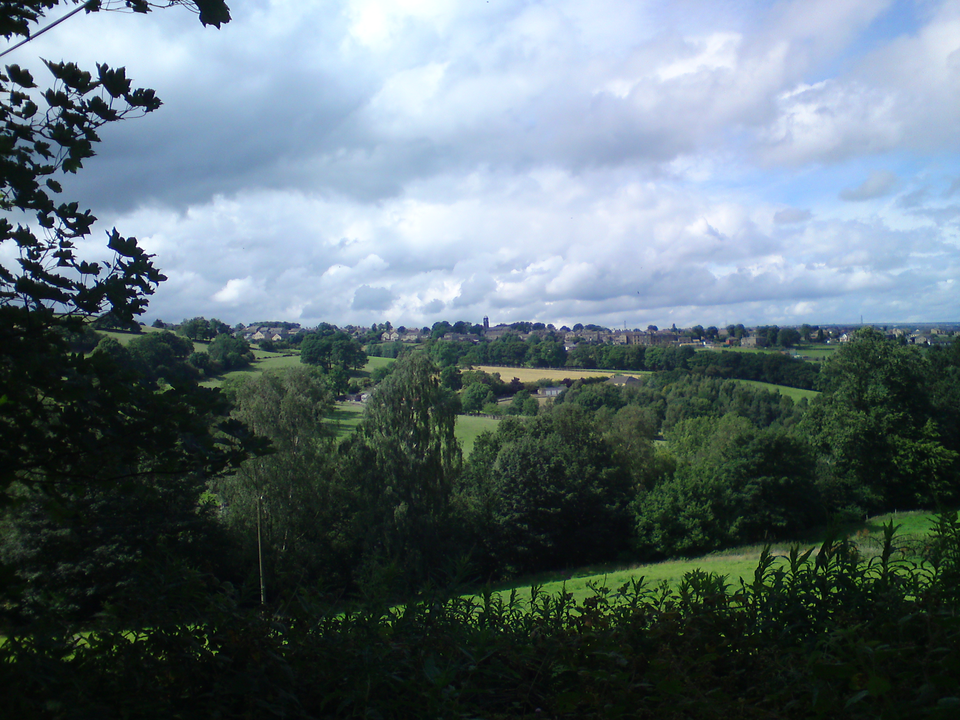
Hard Platts Wood is a charming forest located in the county of Yorkshire, England. Nestled amidst the picturesque landscape, this woodland is a haven of tranquility and natural beauty. Covering an area of approximately 100 acres, it offers visitors a chance to immerse themselves in the peaceful surroundings and explore its diverse flora and fauna.

The wood is predominantly composed of deciduous trees, including oak, beech, and birch, which provide a stunning display of vibrant colors during the autumn season. Walking through the well-maintained trails, visitors can admire the towering trees and listen to the soothing sounds of birdsong.

Hard Platts Wood is not only a treat for nature enthusiasts but also serves as an important habitat for various wildlife species. It is home to a plethora of animals, including deer, foxes, squirrels, and a variety of bird species, making it a popular spot for wildlife observation and birdwatching.

The wood is equipped with several amenities to enhance visitors' experience. There are picnic areas scattered throughout the forest, providing a perfect spot to relax and enjoy a meal amidst the serene surroundings. Additionally, there are well-marked paths and informative signposts, ensuring visitors can navigate the wood easily and learn about the different tree species they encounter.

Hard Platts Wood is a cherished natural gem, offering a peaceful escape from the hustle and bustle of everyday life. Whether one is seeking a leisurely stroll, an opportunity to connect with nature, or an adventure into the wilderness, this enchanting woodland is sure to captivate visitors with its beauty and serenity.

If you have any feedback on the listing, please let us know in the comments section below.

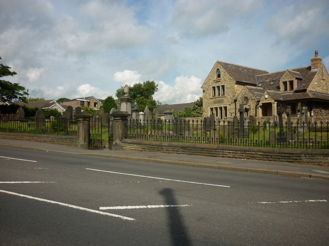
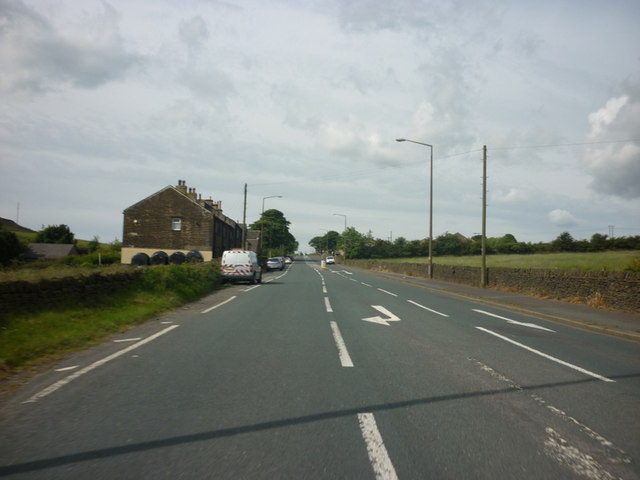
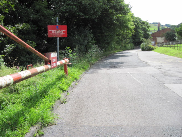
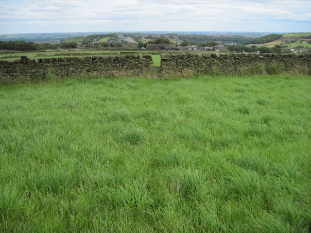
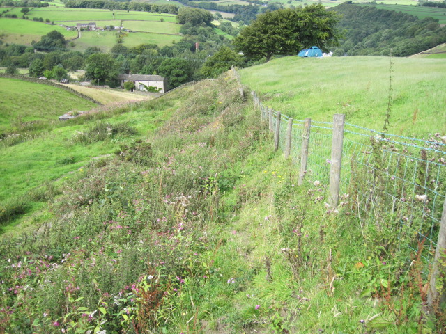
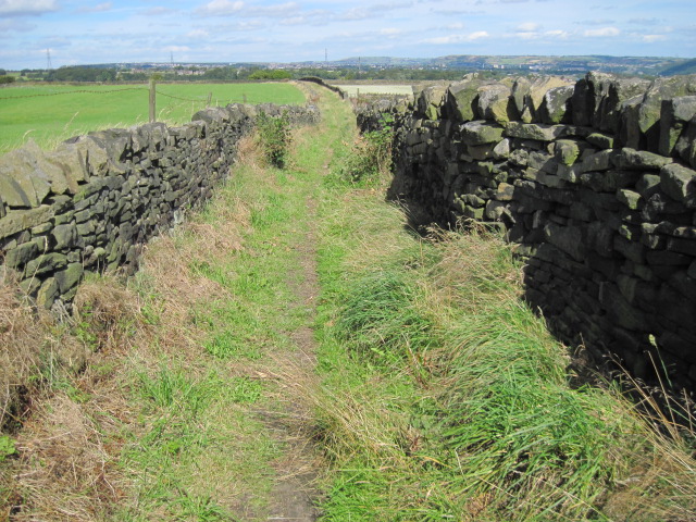
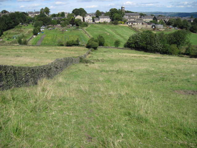
Hard Platts Wood Images

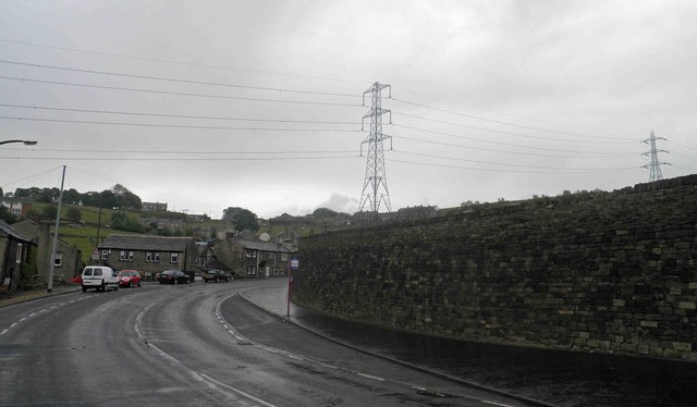
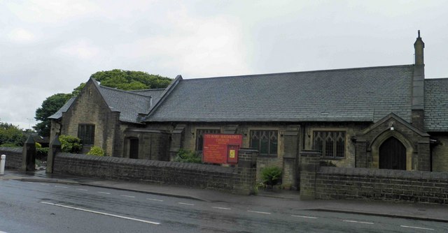
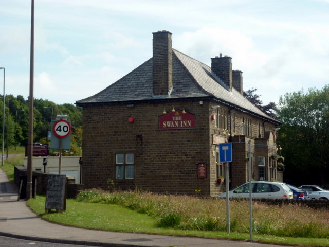
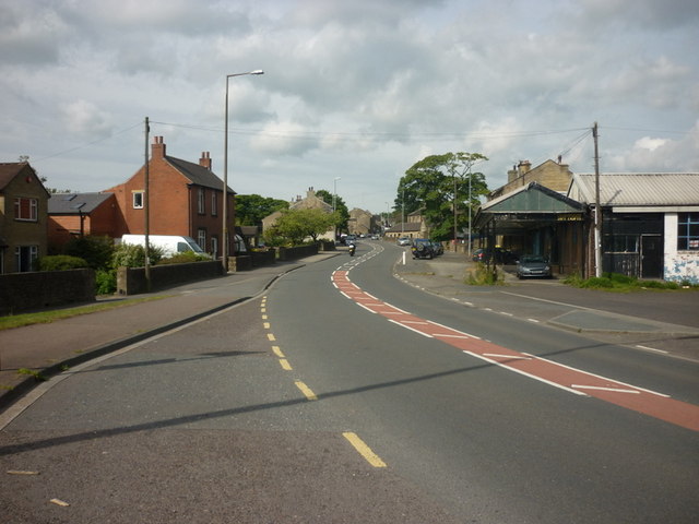
Images are sourced within 2km of 53.667095/-1.8882683 or Grid Reference SE0718. Thanks to Geograph Open Source API. All images are credited.

Bus stop, retaining wall and pylon, Sowood near Huddersfield
St. Mary Magdalene's church, Outlane
The A640, New Hey Road, goes over the M62
The Swan Inn on New Hey Road, Outlane
New Hey Road, Outlane
A graveyard on New Hey Road, Outlane
New Hey Road leading west from Outlane
Broom Hill Road
Broom Hill Road
No footpath through Sonoco plant
Footpath towards Outlane
Hillside towards Stainland Dean
Drury Lane footpath, Stainland
Footpath towards Stainland
Footpath towards Shavey Clough
Shaw Park Gateway This mock castle style gateway forms one of the entrances to Shaw Park
Shaw Park Gateway
This mock castle style gateway forms one of the entrances to Shaw Park
Shaw Park Aviary Built originally as an Aviary around 1870, now disused.
Shaw Park Aviary
Built originally as an Aviary around 1870, now disused.
Shaw Park Folly The first of 3 follies linked by a wall in Shaw Park
Shaw Park Folly
The first of 3 follies linked by a wall in Shaw Park
Show me another place!

Hard Platts Wood is located at Grid Ref: SE0718 (Lat: 53.667095, Lng: -1.8882683)

Division: West Riding

Unitary Authority: Calderdale

Police Authority: West Yorkshire

What 3 Words

///rugs.vent.fires. Near Holywell Green, West Yorkshire

Related Wikis

Sowood, West Yorkshire

Sowood is a village in the civil parish of Stainland and District, in the Calderdale district, in the county of West Yorkshire, England. The village falls...

Stainland

Stainland is a village in the civil parish of Stainland and District, in Calderdale, West Yorkshire, England. The village is part of the Greetland and...

Black Brook, West Yorkshire

The Black Brook is a small river in Calderdale, West Yorkshire, England. The Black Brook rises near the border of Calderdale and Kirklees next to Scammonden...

Stainland and District

Stainland and District is a civil parish in the Metropolitan Borough of Calderdale in West Yorkshire, England. The main settlements in the parish are Stainland...

Nearby Amenities

Located within 500m of 53.667095,-1.8882683
Bus Stop
Stainland Road Knowle Top
Local Ref: 45021514
Naptan AtcoCode: 450021514
Naptan Bearing: NW
Naptan CommonName: Stainland Road Knowle Top
Naptan Crossing: Knowle Top
Naptan Indicator: Stop 45021514
Naptan Notes: OSR taken place 091205
Naptan PlusbusZoneRef: LEEDS
Naptan ShortCommonName: Knowle Top
Naptan Street: Stainland Road
Naptan Verified: no
Source: naptan_import
Lat/Long: 53.6664201/-1.8809644
Bus Stop
Stainland Road
Local Ref: 45021515
Naptan AtcoCode: 450021515
Naptan Bearing: SE
Naptan CommonName: Stainland Road
Naptan Crossing: Nr-At Stanley Lane
Naptan Indicator: Stop 45021515
Naptan Landmark: Unknown
Naptan PlusbusZoneRef: LEEDS
Naptan ShortCommonName: Stanley Lane
Naptan Street: Stainland Road
Naptan Verified: no
Source: naptan_import
Lat/Long: 53.6684446/-1.8829853
Bus Stop
Stainland Road Adelaide Terrace
Local Ref: 45021516
Naptan AtcoCode: 450021516
Naptan Bearing: NW
Naptan CommonName: Stainland Road Adelaide Terrace
Naptan Crossing: Nr-Opp Stanley Lane
Naptan Indicator: Stop 45021516
Naptan Landmark: Unknown
Naptan Notes: OSR taken place 091205
Naptan PlusbusZoneRef: LEEDS
Naptan ShortCommonName: South Parade
Naptan Street: Stainland Road
Naptan Verified: no
Source: naptan_import
Lat/Long: 53.6683135/-1.8830149
Bus Stop
Stainland
Local Ref: 45022923
Naptan AtcoCode: 450022923
Naptan Bearing: NE
Naptan CommonName: Stainland
Naptan Crossing: Back Bowling Street Road
Naptan Indicator: Stop 45022923
Naptan Landmark: Bowling Green Jun & Inf School
Naptan PlusbusZoneRef: LEEDS
Naptan ShortCommonName: Back Bowling Street
Naptan Street: Bowling Green Road
Naptan Verified: no
Source: naptan_import
Lat/Long: 53.6702847/-1.8859452
Bus Stop
Stainland
Local Ref: 45022924
Naptan AtcoCode: 450022924
Naptan Bearing: SW
Naptan CommonName: Stainland
Naptan Crossing: Back Bowling
Naptan Indicator: Stop 45022924
Naptan Landmark: Bowling Green J & I School
Naptan PlusbusZoneRef: LEEDS
Naptan ShortCommonName: Back Bowling
Naptan Street: Bowling Green Road
Naptan Verified: no
Source: naptan_import
Lat/Long: 53.6701895/-1.8859497
Turning Circle
Lat/Long: 53.6711187/-1.8870808
Fast Food
Stainland Sandwich Bar
Cuisine: sandwich
Lat/Long: 53.6700706/-1.8863408
Bench
Lat/Long: 53.6701782/-1.886132
Bench
Lat/Long: 53.6673989/-1.8817358
Bench
Lat/Long: 53.6673989/-1.8817358
Information: board
Tourism: information
Lat/Long: 53.6674625/-1.8818056
Elland Scholes
Ele: 235
Natural: peak
Lat/Long: 53.6708749/-1.8899313
The Iron Maiden Laundry Service
Shop: laundry
Lat/Long: 53.6699664/-1.8886728
Location Transition: yes
Power: pole
Lat/Long: 53.6670039/-1.8955976
Power: pole
Lat/Long: 53.6667919/-1.8943218
Power: pole
Lat/Long: 53.6666771/-1.8937467
Power: pole
Lat/Long: 53.6665258/-1.8926948
Power: pole
Lat/Long: 53.6663582/-1.8917144
Power: pole
Lat/Long: 53.666115/-1.8903232
Power: pole
Lat/Long: 53.6658725/-1.8887908
Power: pole
Lat/Long: 53.6656473/-1.8872332
Power: pole
Lat/Long: 53.6654702/-1.8862028
Power: pole
Lat/Long: 53.6652847/-1.8850625
Power: pole
Lat/Long: 53.6651546/-1.8841843
Power: pole
Lat/Long: 53.6649656/-1.8830325
Power: pole
Lat/Long: 53.664964/-1.8819274
Power: pole
Lat/Long: 53.6642206/-1.8940291
Power: pole
Lat/Long: 53.664839/-1.8931276
Power: pole
Lat/Long: 53.6653033/-1.8924578
Power: pole
Lat/Long: 53.6655047/-1.8921575
Power: pole
Lat/Long: 53.665919/-1.8915443
Power: pole
Lat/Long: 53.6665108/-1.8907437
Power: pole
Lat/Long: 53.6669581/-1.8900469
Power: pole
Lat/Long: 53.6674264/-1.8893243
Power: pole
Lat/Long: 53.6649825/-1.8916042
Power: pole
Lat/Long: 53.6645513/-1.8905004
Power: pole
Lat/Long: 53.6681574/-1.8903295
Power: pole
Lat/Long: 53.6679043/-1.8886332
Power: pole
Lat/Long: 53.6687136/-1.8869954
Power: pole
Lat/Long: 53.6695787/-1.8850053
Power: pole
Lat/Long: 53.6690801/-1.8861167
Power: pole
Lat/Long: 53.668379/-1.8877621
Power: pole
Lat/Long: 53.6684603/-1.890771
Power: pole
Lat/Long: 53.6688364/-1.8912784
Power: pole
Lat/Long: 53.6693262/-1.8919827
Power: pole
Lat/Long: 53.6705285/-1.892477
The data included in this document is from www.openstreetmap.org. The data is made available under ODbL.

Have you been to Hard Platts Wood?

Leave your review of Hard Platts Wood below (or comments, questions and feedback).