Bonnie's Wood

Wood, Forest in Gloucestershire Cotswold

England

Bonnie's Wood

Barnsley church  St. Mary's
Barnsley church St. Mary's Credit: Anonymous 4610

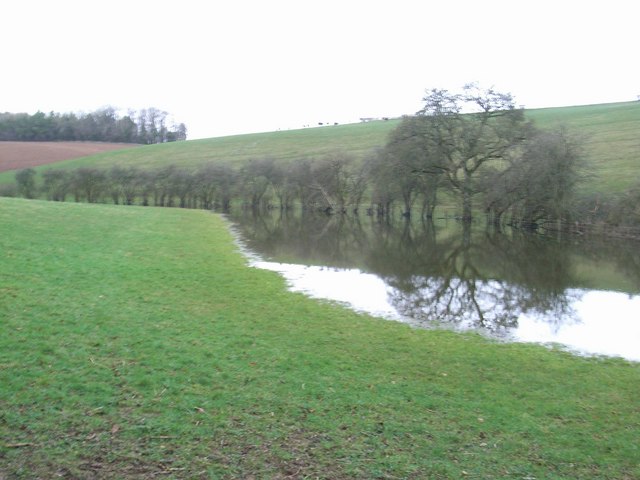
Bonnie's Wood is a picturesque woodland located in Gloucestershire, England. Situated in the heart of the county, this enchanting forest covers an area of approximately 100 acres and is renowned for its natural beauty and diverse wildlife.

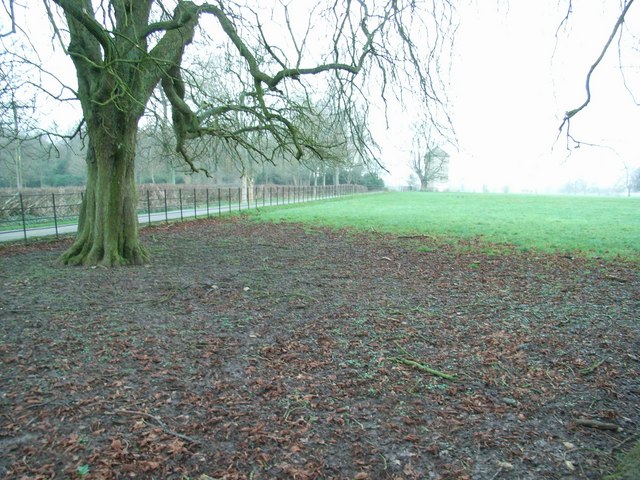
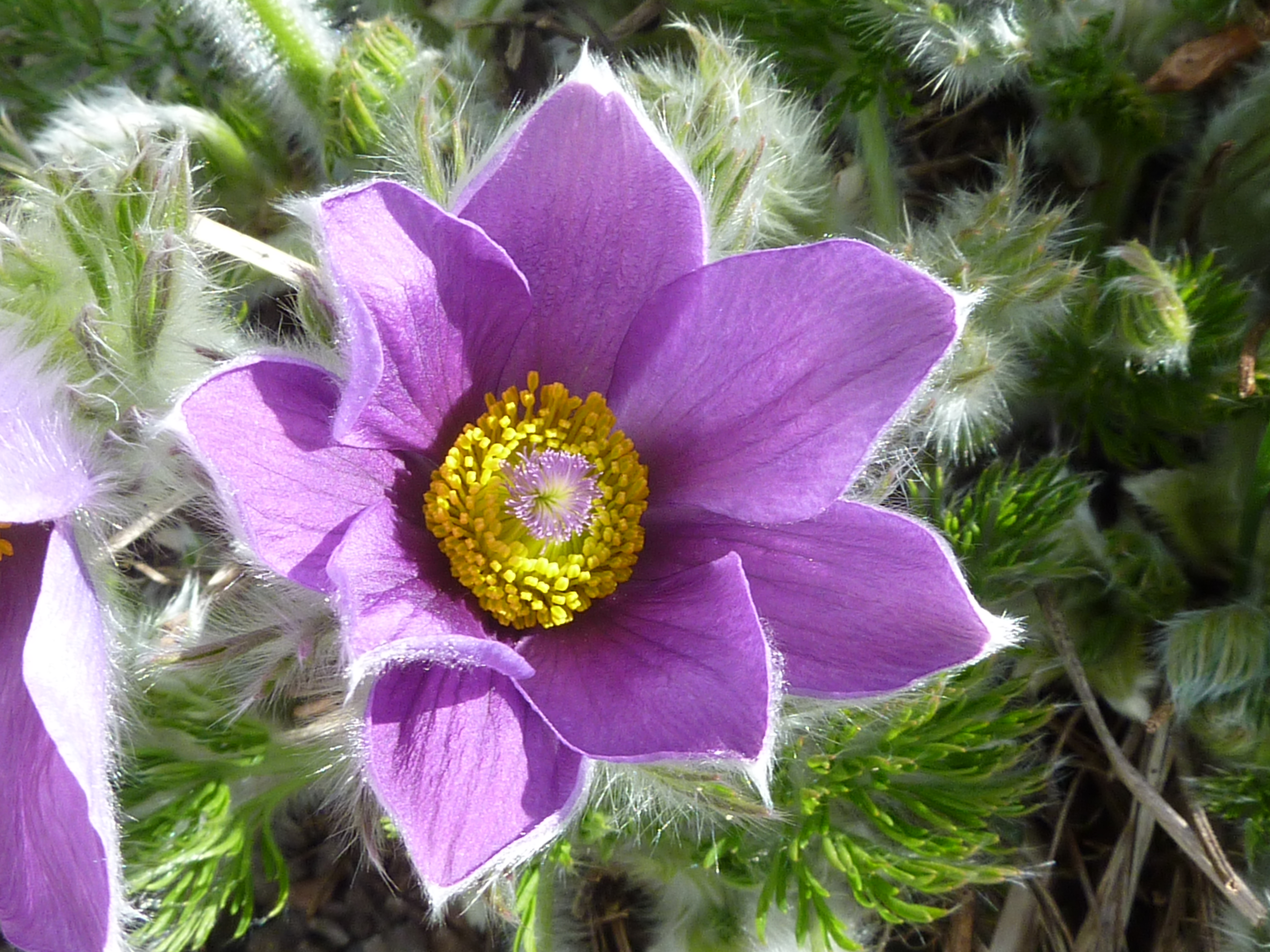
The wood is predominantly made up of oak and beech trees, creating a dense canopy that provides a cool and shaded environment on hot summer days. The forest floor is adorned with a rich carpet of wildflowers, ferns, and mosses, adding to the woodland's magical atmosphere.

Bonnie's Wood is home to a wide range of wildlife, making it a haven for nature enthusiasts and wildlife photographers. Visitors can spot a variety of bird species, including woodpeckers, owls, and thrushes, who make their nests among the branches. Squirrels and rabbits can also be spotted darting through the undergrowth, while deer can occasionally be seen grazing in the open meadows.

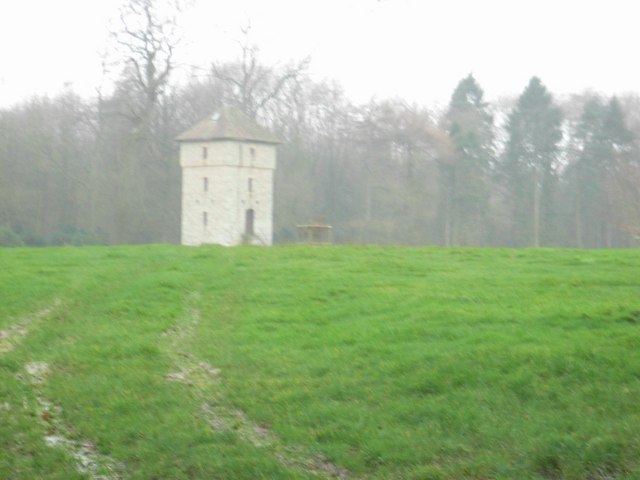
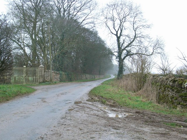
The wood is crisscrossed by a network of walking trails, allowing visitors to explore its hidden treasures. These well-maintained paths wind through the forest, taking visitors past babbling brooks, ancient trees, and secluded clearings. Along the way, informative signage provides interesting facts about the woodland's history, flora, and fauna.

Bonnie's Wood is a popular destination for families, hikers, and nature lovers alike. Its peaceful ambiance and natural beauty make it the perfect place to escape the hustle and bustle of everyday life and reconnect with nature. Whether you're seeking a serene stroll or an adventurous hike, Bonnie's Wood offers a tranquil and captivating experience for all who visit.

If you have any feedback on the listing, please let us know in the comments section below.

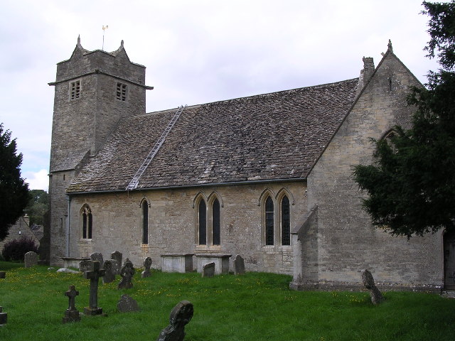
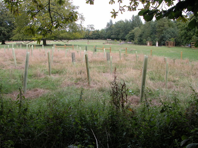
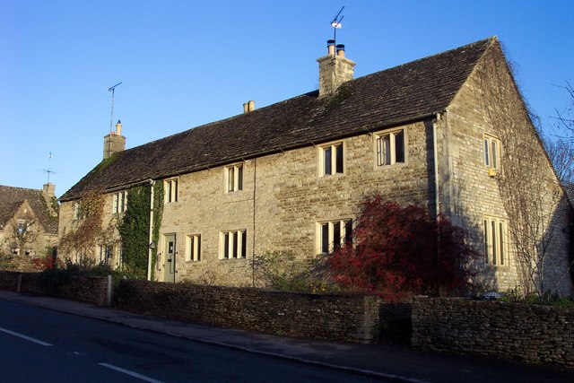
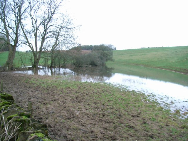
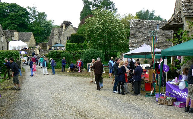
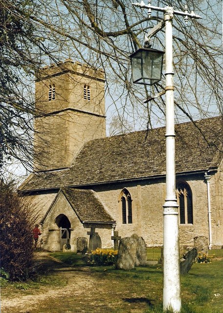
Bonnie's Wood Images

Images are sourced within 2km of 51.761896/-1.8930068 or Grid Reference SP0707. Thanks to Geograph Open Source API. All images are credited.

Barnsley church  St. Mary's
Barnsley church St. Mary's
Straw bales stacked near Pool House, Winson This stack of straw bales are in the corner of a field opposite Pool House.
Straw bales stacked near Pool House, Winson
This stack of straw bales are in the corner of a field opposite Pool House.
Farm road to Potato Barn, Winson
Colnpen Barn Colnpen Barn viewed from the nearby road junction at SP073077.
Colnpen Barn
Colnpen Barn viewed from the nearby road junction at SP073077.
Tree saplings near Rooksmoor Copse This land to the east of the lane and is shown as part of Barnsley Park on the 1940s OS map.
Tree saplings near Rooksmoor Copse
This land to the east of the lane and is shown as part of Barnsley Park on the 1940s OS map.
Farm buildings on Fosscross Lane Farm buildings on crossroads on Fosscross road.
Farm buildings on Fosscross Lane
Farm buildings on crossroads on Fosscross road.
Cottages in Barnsley village.
Flooded Winterwell The course of the brook should follow the trees, where it goes under Welsh Way.
Flooded Winterwell
The course of the brook should follow the trees, where it goes under Welsh Way.
Not so dry valley now! Looking along a flooded Winterwell brook towards Middleton Copse. 
Contrast this with <a href="https://www.geograph.org.uk/photo/286538">SP0605 : Dry valley in the Cotswolds to the west of Barnsley</a>.
Not so dry valley now!
Looking along a flooded Winterwell brook towards Middleton Copse. Contrast this with SP0605 : Dry valley in the Cotswolds to the west of Barnsley.
Driveway through Barnsley Park
Barnsley Park The building appears to be a watchtower, guarding the "private road".
Barnsley Park
The building appears to be a watchtower, guarding the "private road".
Sheep in Barnsley Park Deadlands Copse is on the RHS.
Sheep in Barnsley Park
Deadlands Copse is on the RHS.
Path to Cadmoor Copse Cadmoor Copse, a field and a half away, becoming obscured by the heavy drizzle.
Path to Cadmoor Copse
Cadmoor Copse, a field and a half away, becoming obscured by the heavy drizzle.
Lane to Barnsley With one of the gated entrances to Barnsley Park on the left.
Lane to Barnsley
With one of the gated entrances to Barnsley Park on the left.
Field near Barnsley Wood Looking into the rain.
Field near Barnsley Wood
Looking into the rain.
Barnsley Warren SSSI Barnsley Warren Site of Special Scientific Interest is an area of unimproved grassland on Jurassic limestone.
Barnsley Warren SSSI
Barnsley Warren Site of Special Scientific Interest is an area of unimproved grassland on Jurassic limestone.
B4425, Barnsley This is view south along the B4425 as it passes through the Gloucestershire village of Barnsley. The village pub, the Village Pub, can be seen in the background behind the minibus.
B4425, Barnsley
This is view south along the B4425 as it passes through the Gloucestershire village of Barnsley. The village pub, the Village Pub, can be seen in the background behind the minibus.
Near Church Farm, Barnsley The view shows part of the farmyard of Church Farm, in the heart of the Gloucestershire village on the day of Barsnley Village Festival. Normally private gardens were open to the public and there were small stalls selling food, drinks, books, garden plants and herbs.
Near Church Farm, Barnsley
The view shows part of the farmyard of Church Farm, in the heart of the Gloucestershire village on the day of Barsnley Village Festival. Normally private gardens were open to the public and there were small stalls selling food, drinks, books, garden plants and herbs.
Show me another place!

Bonnie's Wood is located at Grid Ref: SP0707 (Lat: 51.761896, Lng: -1.8930068)

Administrative County: Gloucestershire

District: Cotswold

Police Authority: Gloucestershire

What 3 Words

///chipper.copying.custodian. Near Stratton, Gloucestershire

Related Wikis

Barnsley Park

Barnsley Park is a country house and park, measuring about 3 miles (4.8 km) in circumference in Barnsley, Gloucestershire, England. == History == An Iron...

Barnsley, Gloucestershire

Barnsley is a village and civil parish in the Cotswold district of Gloucestershire, England, 3.7 miles (6.0 km) northeast of Cirencester. It is 125 kilometres...

Barnsley Warren

Barnsley Warren (grid reference SP055064) is a 61.3-hectare (151-acre) biological Site of Special Scientific Interest in Gloucestershire, notified in 1954...

Winson Meadows

Winson Meadows (grid reference SP093081) is a 7.93-hectare (19.6-acre) biological Site of Special Scientific Interest in Gloucestershire, notified in 1974...

Winson, Gloucestershire

Winson is a village in the Cotswold district of the English county of Gloucestershire. == Location == Winson lies next to the River Coln, north west of...

Coln Rogers

Coln Rogers is a village and former civil parish, now in the parish of Coln St. Dennis, in the Cotswold district of the county of Gloucestershire, England...

Foss Cross Quarry

Foss Cross Quarry (grid reference SP056092) is a 0.67-hectare (1.7-acre) geological Site of Special Scientific Interest in Gloucestershire, notified in...

Ablington Manor

Ablington Manor is a Grade I listed country house in Potlicker's Lane, Ablington within the parish of Bibury, Gloucestershire, England. The estate was...

Nearby Amenities

Located within 500m of 51.761896,-1.8930068
Bansley Wold Tump
Archaeological Site: tumulus
Historic: archaeological_site
Lat/Long: 51.7608797/-1.8963204
Building: residential
Source: Bing
Lat/Long: 51.762726/-1.8927233
Addr Housename: Montreal House
Building: residential
Source Addr Housename: OS 1:25k
Lat/Long: 51.7621363/-1.8887716
Addr Housename: Oxwold House
Building: residential
Source: Bing
Source Addr Housename: OS OpenData StreetView
Lat/Long: 51.760071/-1.8937632
Building: residential
Source: Bing
Lat/Long: 51.7624554/-1.8926133
Addr Housename: Oxwold Cottage
Building: residential
Source: Bing
Source Addr Housename: OS OpenData StreetView
Lat/Long: 51.7603172/-1.8926212
Addr Housename: Wold Cottage
Building: residential
Source: Bing
Source Addr Housename: OS OpenData StreetView
Lat/Long: 51.7582896/-1.8948789
The data included in this document is from www.openstreetmap.org. The data is made available under ODbL.

Have you been to Bonnie's Wood?

Leave your review of Bonnie's Wood below (or comments, questions and feedback).