Great Pinley
Settlement in Warwickshire Warwick
England
Great Pinley
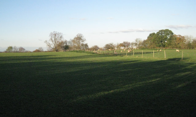
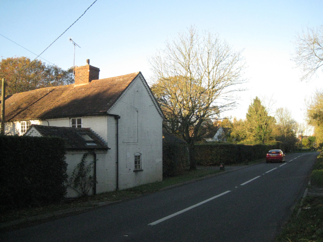
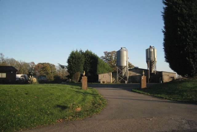
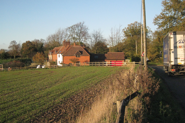
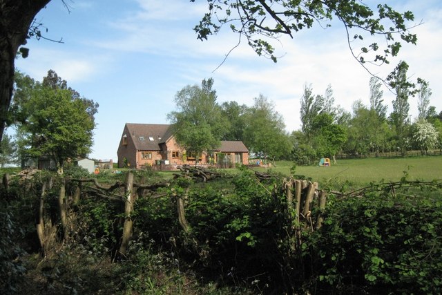
Great Pinley is a small village located in the county of Warwickshire, England. Situated approximately 6 miles southeast of the town of Warwick, Great Pinley is known for its picturesque countryside and rural charm. The village is situated in a predominantly agricultural area, with rolling hills and open fields surrounding the settlement.
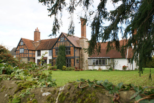
Great Pinley has a relatively small population, with a close-knit community that prides itself on its friendly and welcoming atmosphere. The village is characterized by its traditional cottages and historic buildings, reflecting its long history dating back centuries.
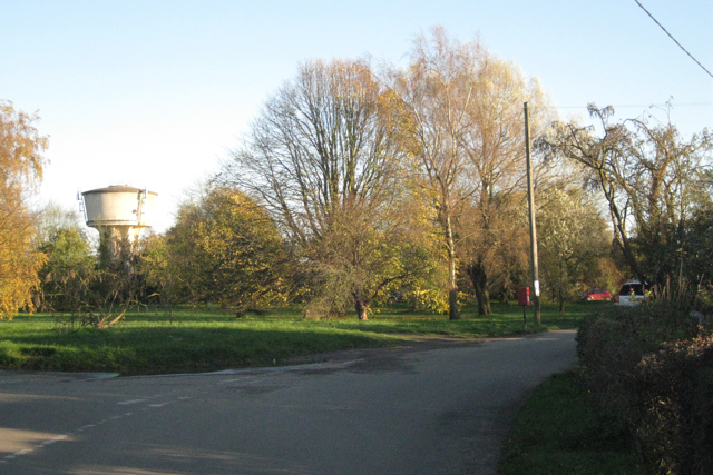
The village is home to a few amenities, including a local pub and a small village hall. However, residents typically rely on the nearby towns for their shopping and other services. The village also benefits from good transport links, with easy access to major roads, allowing for convenient travel to nearby towns and cities.
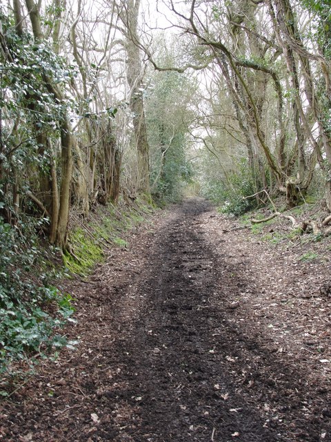
For outdoor enthusiasts, Great Pinley provides ample opportunities for walks and hikes in the surrounding countryside. The village is located near several nature reserves and country parks, offering stunning views and peaceful surroundings.
Great Pinley is also rich in history, with several notable landmarks in the vicinity. One such example is the historic St. Peter's Church, a beautiful medieval church that dates back to the 12th century. The church is a focal point of the village and holds regular services and community events.
In summary, Great Pinley is a charming village in Warwickshire, with a tranquil setting, a tight-knit community, and a rich historical heritage. It offers a peaceful and idyllic countryside retreat for both residents and visitors alike.
If you have any feedback on the listing, please let us know in the comments section below.
Great Pinley Images
Images are sourced within 2km of 52.293031/-1.6872579 or Grid Reference SP2166. Thanks to Geograph Open Source API. All images are credited.
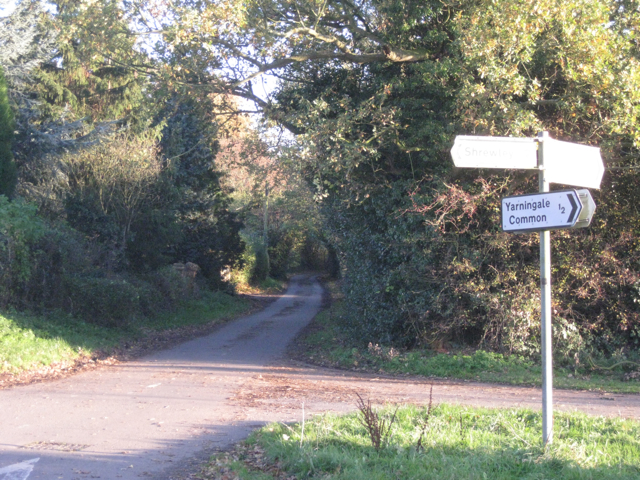
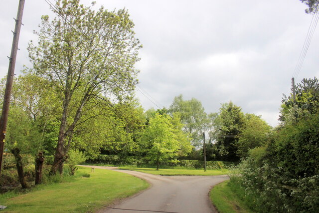
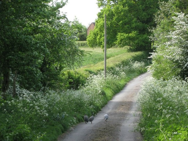
![Wood Melick, Hobbs Hole Lane Wood Melick (Melica uniflora) is a native perennial grass, "common in woods and shady places throughout Britain, though rare in the north of Scotland and Ireland." [Phillips. Grasses, Ferns, Mosses & Lichens. Pan, 1980]. "In some woods it is very abundant, and in May it will be found nodding gracefully beside the primroses and bluebells … The delicacy of its stems and flowers is particularly pleasing …" [The Observer's Book of British Grasses, Sedges & Rushes. No date].
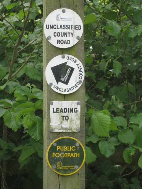
Hobbs Hole Lane is an unclassified county road between Yarningale Common and Holywell.](https://s3.geograph.org.uk/geophotos/02/41/08/2410859_cff2f7d4.jpg)
Great Pinley is located at Grid Ref: SP2166 (Lat: 52.293031, Lng: -1.6872579)
Administrative County: Warwickshire
District: Warwick
Police Authority: Warwickshire
What 3 Words
///marinated.grants.collapsed. Near Hatton, Warwickshire
Nearby Locations
Related Wikis

Pinley Priory
Pinley Priory, also called Pinley Abbey, was a Cistercian nunnery in the parish of Rowington in Warwickshire, England. It was founded in the early 12th...
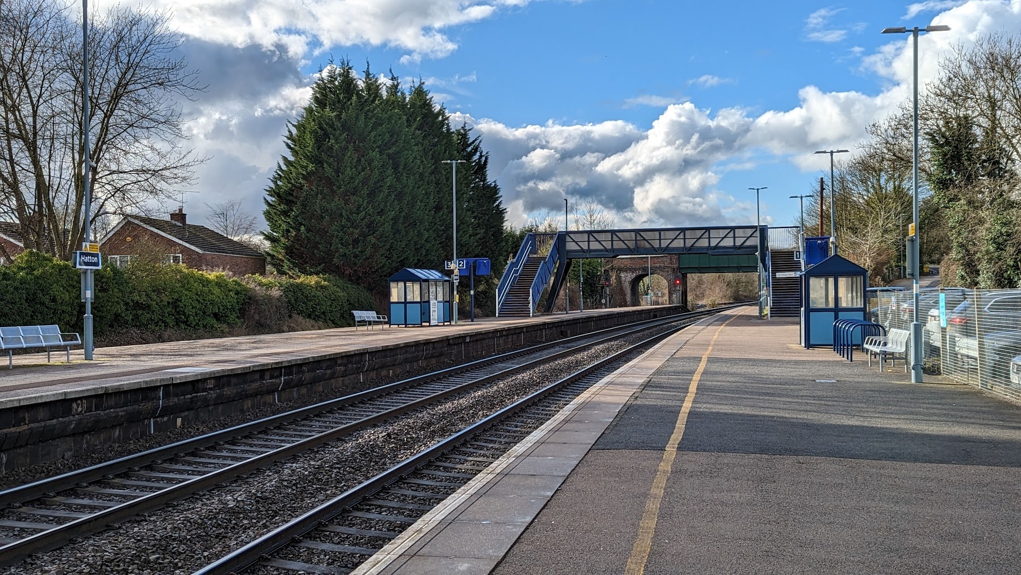
Hatton railway station (England)
Hatton railway station takes the name of the village of Hatton in Warwickshire, England, although it is about 1 mile (1.6 km) from the village. It is situated...
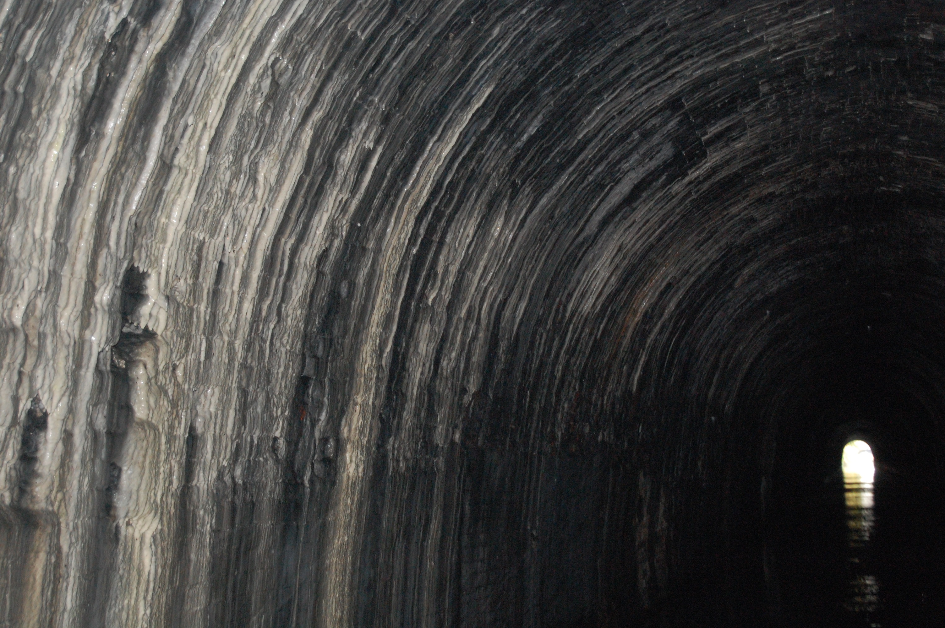
Shrewley Tunnel
Shrewley Tunnel is a canal tunnel near Shrewley, Warwickshire, England, which opened in 1799. It became part of the Grand Union Canal in 1929. == History... ==

Shrewley
Shrewley is a village and civil parish in Warwickshire, England, about 5 miles north-west of Warwick. It consists of Little Shrewley, and Shrewley Common...
Nearby Amenities
Located within 500m of 52.293031,-1.6872579Have you been to Great Pinley?
Leave your review of Great Pinley below (or comments, questions and feedback).